Blackdene, West
Settlement in Durham
England
Blackdene, West

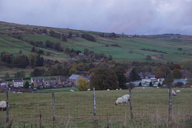
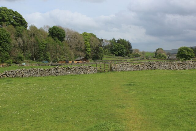
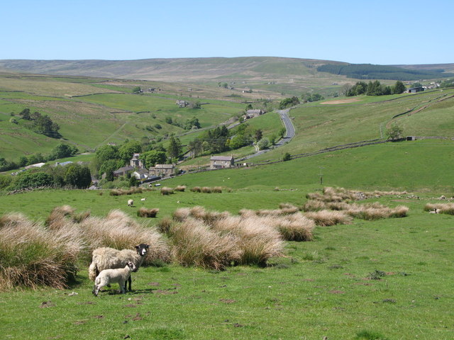
Blackdene is a small village located in the West district of Durham, England. Nestled in the picturesque countryside, it is surrounded by rolling hills and lush green fields, offering a tranquil and idyllic setting for its residents. Situated approximately 8 miles west of the market town of Consett, Blackdene is conveniently accessible via the A68 road, which connects it to nearby towns and cities.
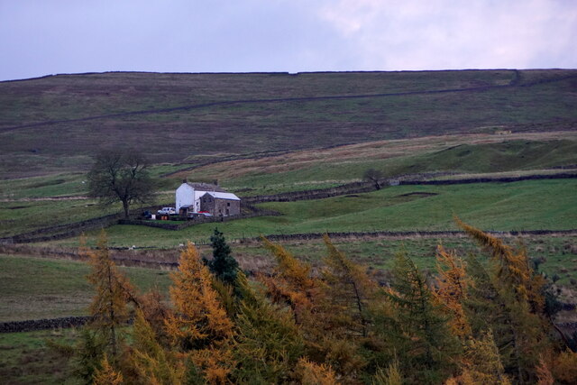
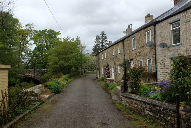
The village itself is characterized by its charming stone buildings and traditional architecture, reflecting its rich history and heritage. Historically, Blackdene was primarily an agricultural community, with farming being the main occupation of its inhabitants. Today, while farming still plays a significant role in the local economy, the village has also seen some diversification with the growth of small businesses and services catering to the needs of its residents.
Blackdene boasts a tight-knit community where neighbors are known to be friendly and welcoming. The village is proud of its community spirit, evidenced by various social events and gatherings throughout the year. The local pub, The Black Horse, serves as a hub for socializing and is a popular meeting spot for both locals and visitors.
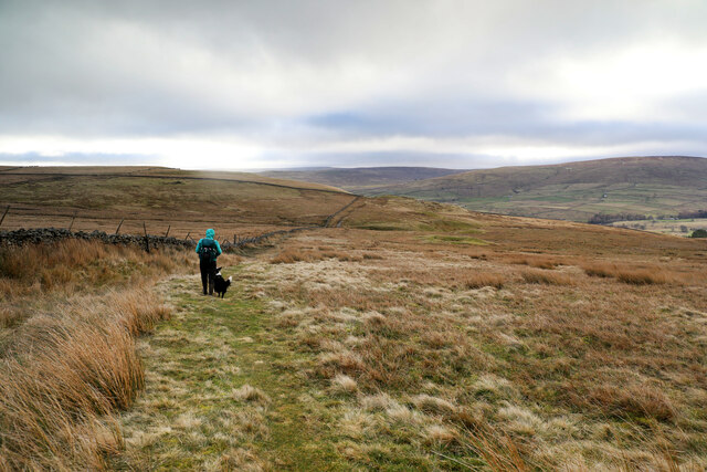
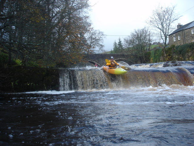
For those seeking outdoor activities, Blackdene offers plenty of opportunities for exploring the beautiful surrounding countryside. The nearby Derwent Reservoir provides a stunning setting for walking, cycling, and fishing. The village is also situated close to the North Pennines Area of Outstanding Natural Beauty, offering breathtaking landscapes and a range of outdoor pursuits.
In summary, Blackdene is a charming rural village in the West district of Durham, known for its tranquil setting, community spirit, and access to stunning natural landscapes.
If you have any feedback on the listing, please let us know in the comments section below.
Blackdene, West Images
Images are sourced within 2km of 54.747038/-2.2088628 or Grid Reference NY8639. Thanks to Geograph Open Source API. All images are credited.


Blackdene, West is located at Grid Ref: NY8639 (Lat: 54.747038, Lng: -2.2088628)
Unitary Authority: County Durham
Police Authority: Durham
What 3 Words
///poodle.plantings.improve. Near Stanhope, Co. Durham
Nearby Locations
Related Wikis
West Blackdene
West Blackdene is a village in the civil parish of Stanhope, in County Durham, England. It is situated to the north of the River Wear, opposite Ireshopeburn...

Ireshopeburn
Ireshopeburn ( EYE-sup-burn ) is a village in the civil parish of Stanhope, in County Durham, England. It is situated on the south side of Weardale, between...

Wearhead railway station
Wearhead railway station served the village of Wearhead, County Durham, England, from 1895 to 1961 on the Weardale Railway. == History == The station opened...

New House, County Durham
New House or Newhouse is a hamlet in the civil parish of Stanhope, in County Durham, England. It lies on the north side of the River Wear, opposite Ireshopeburn...

Wearhead
Wearhead is a village in the civil parish of Stanhope, in County Durham, England. It is situated at the top of Weardale between Cowshill and Ireshopeburn...

Cowshill
Cowshill is a village in the civil parish of Stanhope, in County Durham, England. It is situated at the top of Weardale, between Lanehead and Wearhead...
Copthill
Copthill is a village in the civil parish of Stanhope, in County Durham, England. It is situated on the north side of Weardale, between Cowshill and Cornriggs...

East Blackdene
East Blackdene is a hamlet in the civil parish of Stanhope, in County Durham, England. It is situated to the north of the River Wear, on the opposite side...
Nearby Amenities
Located within 500m of 54.747038,-2.2088628Have you been to Blackdene, West?
Leave your review of Blackdene, West below (or comments, questions and feedback).