Aysgill Force
Waterfall in Yorkshire Richmondshire
England
Aysgill Force

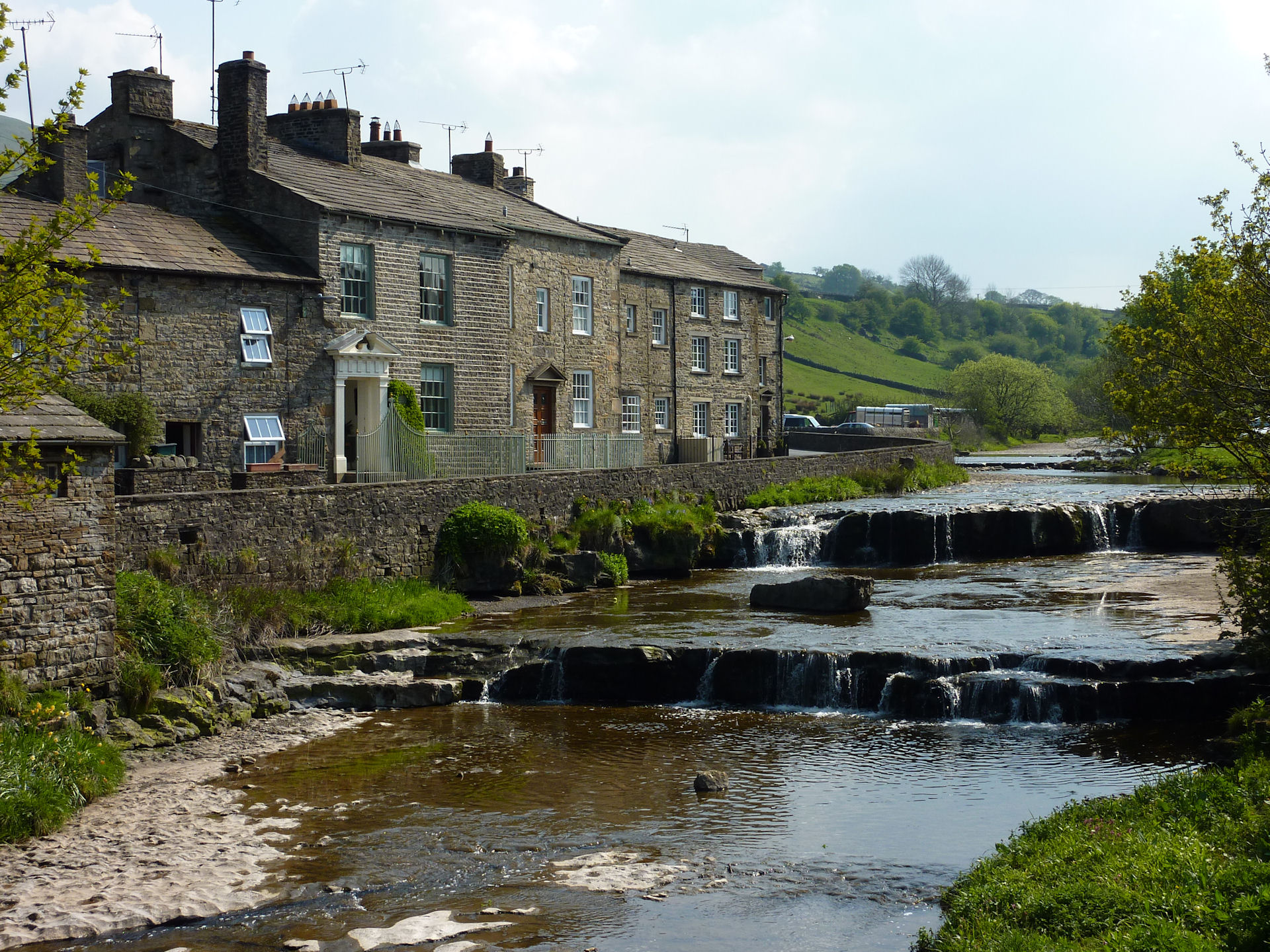
Aysgill Force is a captivating waterfall located in the Yorkshire Dales National Park, in the picturesque county of Yorkshire, England. Situated near the village of Hawes, this natural wonder is renowned for its stunning beauty and tranquil surroundings.
The waterfall is formed by the River Aysgill as it cascades down a series of limestone steps, creating a mesmerizing display of rushing water and foaming white spray. Aysgill Force is particularly impressive after heavy rainfall when the river is at its fullest, offering a powerful and dramatic spectacle for visitors to enjoy.
To reach Aysgill Force, a pleasant walk through the charming Yorkshire Dales landscape is required. The trail meanders through fields and meadows, providing ample opportunities for nature enthusiasts to appreciate the diverse flora and fauna that thrive in this area. Along the way, visitors can also admire the panoramic views of rolling hills and limestone formations that characterize the region.
Once at the waterfall, visitors can soak up the atmosphere and marvel at the sheer force and elegance of nature. The sound of the cascading water creates a soothing and peaceful ambiance, offering a welcome escape from the hustle and bustle of daily life. Photographers and artists are particularly drawn to Aysgill Force, as its natural beauty provides endless inspiration for their creative endeavors.
Aysgill Force is a true gem in the Yorkshire Dales, offering visitors a chance to reconnect with nature and experience the awe-inspiring power of a waterfall in a serene and unspoiled setting.
If you have any feedback on the listing, please let us know in the comments section below.
Aysgill Force Images
Images are sourced within 2km of 54.29016/-2.2101363 or Grid Reference SD8688. Thanks to Geograph Open Source API. All images are credited.


![A walk from Hawes to Aysgill Force and back [1] Leaving Market Place, the walk passes through the churchyard of St Margarets.
Starting from the village of Hawes, the walk follows Gayle Beck through the village of Gayle to the spectacular waterfall of Aysgill Force. Then the walk continues to follow the beck upstream to Sleddale Pasture before returning to Gayle via a track on the lower slopes of Swinesett Hill. From Gayle the walk returns to Hawes via Gayle Lane. About 3¾ miles.](https://s1.geograph.org.uk/geophotos/07/00/58/7005873_8ec87c8c.jpg)
![A walk from Hawes to Aysgill Force and back [2] After leaving the churchyard the route follows this path. The path is part of the long distance Pennine Way.
Starting from the village of Hawes, the walk follows Gayle Beck through the village of Gayle to the spectacular waterfall of Aysgill Force. Then the walk continues to follow the beck upstream to Sleddale Pasture before returning to Gayle via a track on the lower slopes of Swinesett Hill. From Gayle the walk returns to Hawes via Gayle Lane. About 3¾ miles.](https://s2.geograph.org.uk/geophotos/07/00/58/7005874_d1aaede0.jpg)
![A walk from Hawes to Aysgill Force and back [3] A squeeze stile on the path from Hawes to Gayle.
Starting from the village of Hawes, the walk follows Gayle Beck through the village of Gayle to the spectacular waterfall of Aysgill Force. Then the walk continues to follow the beck upstream to Sleddale Pasture before returning to Gayle via a track on the lower slopes of Swinesett Hill. From Gayle the walk returns to Hawes via Gayle Lane. About 3¾ miles.](https://s3.geograph.org.uk/geophotos/07/00/58/7005875_dcb573ab.jpg)
![A walk from Hawes to Aysgill Force and back [4] The path continues towards the village of Gayle. The buildings of Wensleydale Creamery are on the right. Gayle Beck flows in the valley to the left.
Starting from the village of Hawes, the walk follows Gayle Beck through the village of Gayle to the spectacular waterfall of Aysgill Force. Then the walk continues to follow the beck upstream to Sleddale Pasture before returning to Gayle via a track on the lower slopes of Swinesett Hill. From Gayle the walk returns to Hawes via Gayle Lane. About 3¾ miles.](https://s0.geograph.org.uk/geophotos/07/00/58/7005876_2d291489.jpg)
![A walk from Hawes to Aysgill Force and back [5] The path, part of the long distance Pennine Way, enters the village of Gayle.
Starting from the village of Hawes, the walk follows Gayle Beck through the village of Gayle to the spectacular waterfall of Aysgill Force. Then the walk continues to follow the beck upstream to Sleddale Pasture before returning to Gayle via a track on the lower slopes of Swinesett Hill. From Gayle the walk returns to Hawes via Gayle Lane. About 3¾ miles.](https://s1.geograph.org.uk/geophotos/07/00/58/7005877_64504d4e.jpg)
![A walk from Hawes to Aysgill Force and back [6] After passing through the village of Gayle, the walk heads into open fields.
Starting from the village of Hawes, the walk follows Gayle Beck through the village of Gayle to the spectacular waterfall of Aysgill Force. Then the walk continues to follow the beck upstream to Sleddale Pasture before returning to Gayle via a track on the lower slopes of Swinesett Hill. From Gayle the walk returns to Hawes via Gayle Lane. About 3¾ miles.](https://s2.geograph.org.uk/geophotos/07/00/58/7005878_77c6f2bf.jpg)
![A walk from Hawes to Aysgill Force and back [7] Looking back to houses in Gayle after the path has climbed away from the road.
Starting from the village of Hawes, the walk follows Gayle Beck through the village of Gayle to the spectacular waterfall of Aysgill Force. Then the walk continues to follow the beck upstream to Sleddale Pasture before returning to Gayle via a track on the lower slopes of Swinesett Hill. From Gayle the walk returns to Hawes via Gayle Lane. About 3¾ miles.](https://s3.geograph.org.uk/geophotos/07/00/58/7005879_08f065a1.jpg)
![A walk from Hawes to Aysgill Force and back [8] The path runs across open fields with Gayle Beck flowing in the tree lined valley on the left. Dodd Fell in the distance.
Starting from the village of Hawes, the walk follows Gayle Beck through the village of Gayle to the spectacular waterfall of Aysgill Force. Then the walk continues to follow the beck upstream to Sleddale Pasture before returning to Gayle via a track on the lower slopes of Swinesett Hill. From Gayle the walk returns to Hawes via Gayle Lane. About 3¾ miles.](https://s0.geograph.org.uk/geophotos/07/00/58/7005880_3fa3cdce.jpg)
![A walk from Hawes to Aysgill Force and back [9] From this gated stile there are four ways to go. One path, part of the Pennine Way, comes from the right and after passing through the wall goes straight ahead. One path leads left towards Gayle Beck. The path behind the camera leads to Gayle.
Starting from the village of Hawes, the walk follows Gayle Beck through the village of Gayle to the spectacular waterfall of Aysgill Force. Then the walk continues to follow the beck upstream to Sleddale Pasture before returning to Gayle via a track on the lower slopes of Swinesett Hill. From Gayle the walk returns to Hawes via Gayle Lane. About 3¾ miles.](https://s2.geograph.org.uk/geophotos/07/00/58/7005882_f5936bf6.jpg)
Aysgill Force is located at Grid Ref: SD8688 (Lat: 54.29016, Lng: -2.2101363)
Division: North Riding
Administrative County: North Yorkshire
District: Richmondshire
Police Authority: North Yorkshire
What 3 Words
///backyards.casual.toffee. Near Sedbergh, Cumbria
Nearby Locations
Related Wikis
Gayle, North Yorkshire
Gayle is a hamlet 0.4-mile (0.64 km) south of Hawes in Wensleydale, North Yorkshire, England. It is noted for the beck that flows through it and the old...

Gayle Mill, North Yorkshire
Gayle Mill, dating from about 1784, is thought to be the oldest structurally unaltered cotton mill in existence. It is located in the Wensleydale hamlet...

St Margaret's Church, Hawes
St Margaret's Church is a Grade II listed parish church in the Church of England: 184 in Hawes, North Yorkshire. == History == Also known as Church of...

Hawes
Hawes is a market town and civil parish in North Yorkshire, England, at the head of Wensleydale in the Yorkshire Dales, and historically in the North Riding...

Wether Fell
Wether Fell (archaically Wetherfell), also known as Drumaldrace (the name of its summit), is a mountain in the Yorkshire Dales National Park, in North...
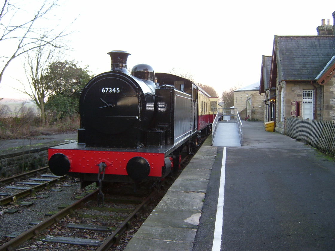
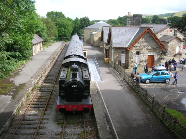
Hawes railway station
Hawes railway station is a disused railway station that served the town of Hawes in North Yorkshire, England. It was closed in 1959 and now forms part...
Dales Countryside Museum
The Dales Countryside Museum is a local museum for the Yorkshire Dales National Park in Northern England. Run by the National Park Authority, it tells...

Appersett
Appersett is a hamlet in the Yorkshire Dales in the Richmondshire district of North Yorkshire, England one mile (1.6 km) west of Hawes. It lies on the...
Nearby Amenities
Located within 500m of 54.29016,-2.2101363Have you been to Aysgill Force?
Leave your review of Aysgill Force below (or comments, questions and feedback).