Middle Covert

Wood, Forest in Staffordshire Stafford

England

Middle Covert

Direction Sign – Signpost on Barton Lane, Bradley Located in the centre of the junction of Barton Lane and Almshouse Croft in Bradley parish. 3 arms and pyramid top. 

Milestone Society National ID: ST_SJ8718
Direction Sign – Signpost on Barton Lane, Bradley Credit: D Phillips

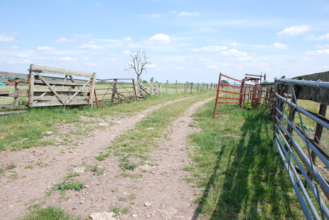
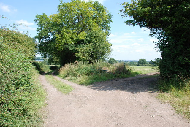
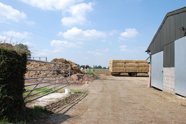
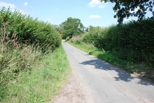
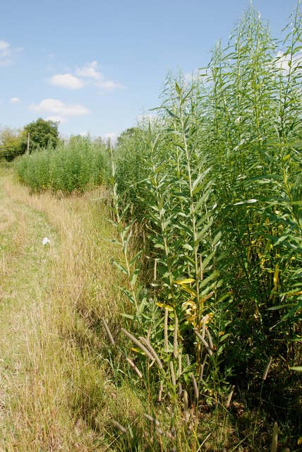
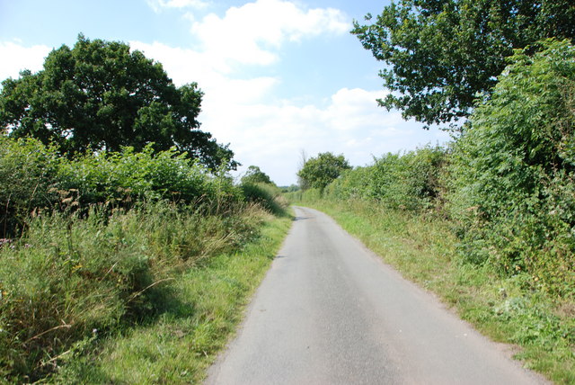
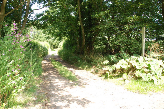
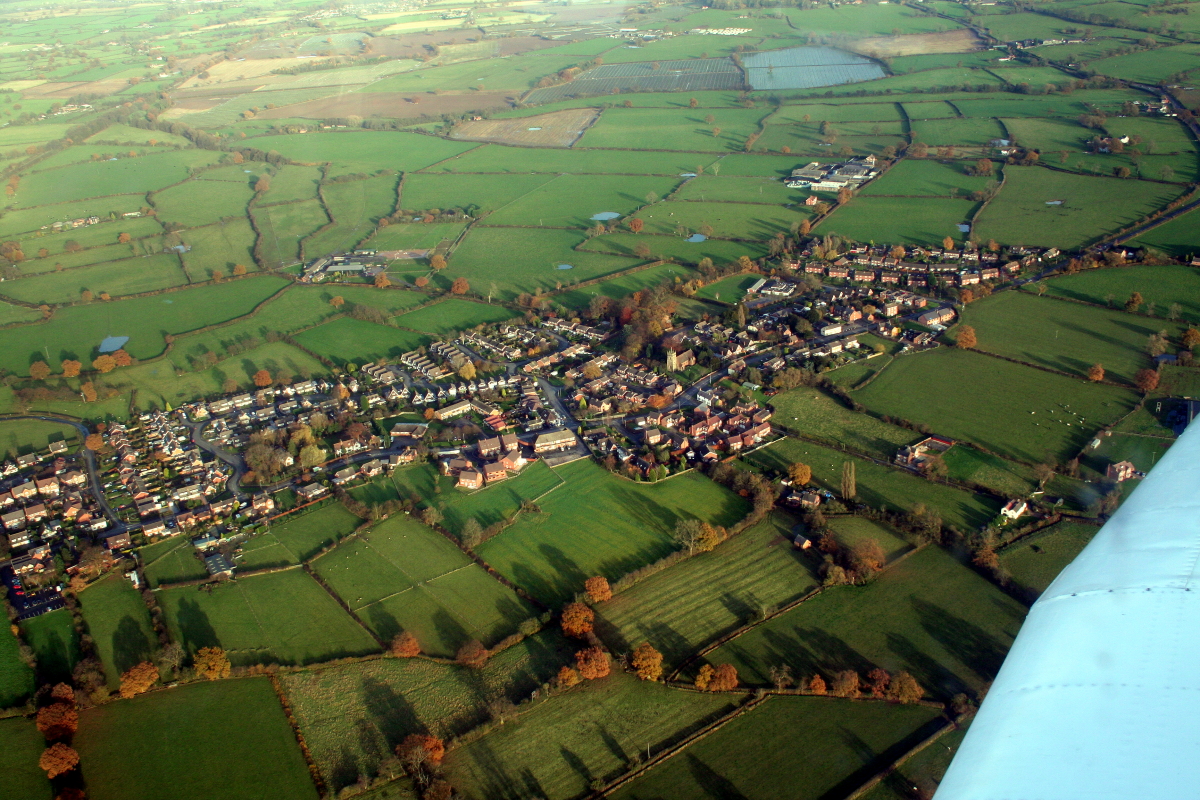
Middle Covert is a small woodland area located in Staffordshire, England. Situated within the county's expansive forest region, it covers an area of approximately 50 acres. The woodland is characterized by its dense tree cover, consisting mainly of oak, birch, and beech trees, which create a lush and vibrant environment.

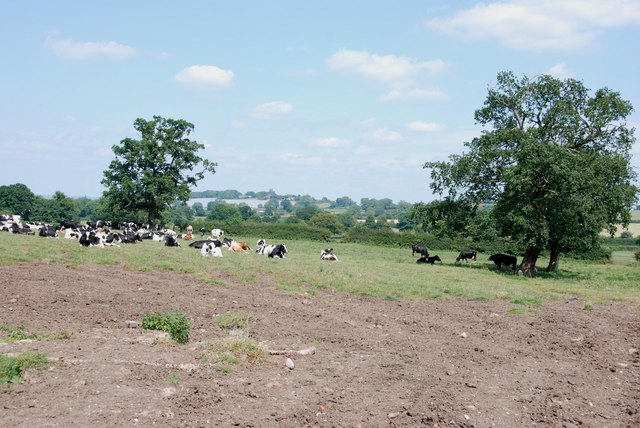
The forest is home to a diverse range of wildlife, including various bird species such as woodpeckers, owls, and songbirds. Additionally, mammals such as foxes, badgers, and deer can also be found within the woodland. The abundance of flora and fauna makes Middle Covert a popular destination for nature enthusiasts and birdwatchers.

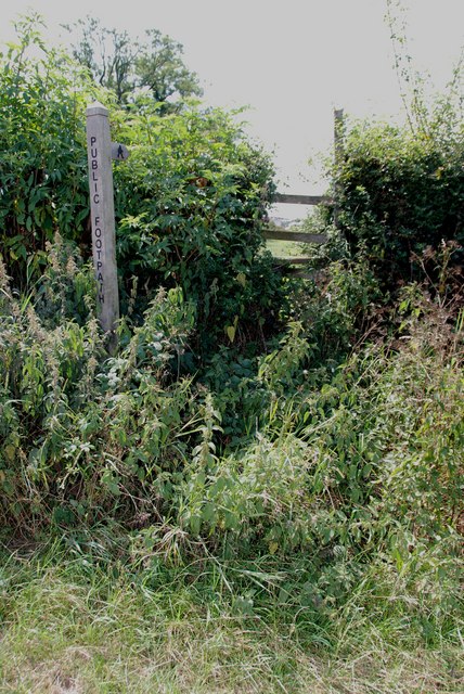
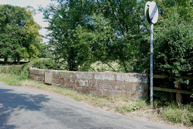
The woodland offers a tranquil and picturesque setting for visitors to relax and enjoy the natural beauty of the area. It is crisscrossed by several well-maintained footpaths, allowing easy access for walkers and hikers. These paths wind through the trees, offering breathtaking views of the surrounding countryside.

Middle Covert is also a designated nature reserve, highlighting the importance of preserving its unique ecosystem. Conservation efforts in the area focus on maintaining the natural habitat and protecting the diverse range of species that call the woodland home.

Overall, Middle Covert is a charming woodland retreat, providing a peaceful escape from the hustle and bustle of everyday life. Its natural beauty and rich biodiversity make it a valuable asset within Staffordshire's forested landscape.

If you have any feedback on the listing, please let us know in the comments section below.

Middle Covert Images

Images are sourced within 2km of 52.755151/-2.1991683 or Grid Reference SJ8617. Thanks to Geograph Open Source API. All images are credited.

Direction Sign – Signpost on Barton Lane, Bradley Located in the centre of the junction of Barton Lane and Almshouse Croft in Bradley parish. 3 arms and pyramid top. 

Milestone Society National ID: ST_SJ8718
Direction Sign – Signpost on Barton Lane, Bradley
Located in the centre of the junction of Barton Lane and Almshouse Croft in Bradley parish. 3 arms and pyramid top. Milestone Society National ID: ST_SJ8718
Direction Sign – Signpost on Chapel Lane in Bradley Located on the north side of the Y junction of Chapel Lane and Almshouse Croft in Bradley parish. 3 arms and ball finial. 

Milestone Society National ID: ST_SJ8717
Direction Sign – Signpost on Chapel Lane in Bradley
Located on the north side of the Y junction of Chapel Lane and Almshouse Croft in Bradley parish. 3 arms and ball finial. Milestone Society National ID: ST_SJ8717
Road bend in Church Eaton A bend on the High Street of the small village of Church Eaton. The view is from the graveyard of St. Editha's Church.
Road bend in Church Eaton
A bend on the High Street of the small village of Church Eaton. The view is from the graveyard of St. Editha's Church.
Looking over Wheat Field to More Pollytunnels
Holding area with Cattle Crush
Forge Rise, Bradley
Forge Rise, Bradley
The Red Lion Inn, Bradley This looks a really special Inn from the outside, with the church in the background. Didn't have time to go in, so have put a link to Express & Star review.

<span class="nowrap"><a title="http://www.expressandstar.com/lifestyle/food/2010/10/25/meal-review-of-the-red-lion-bradley-stafford-st18-2dz/" rel="nofollow ugc noopener" href="http://www.expressandstar.com/lifestyle/food/2010/10/25/meal-review-of-the-red-lion-bradley-stafford-st18-2dz/">Link</a><img style="margin-left:2px;" alt="External link" title="External link - shift click to open in new window" src="https://s1.geograph.org.uk/img/external.png" width="10" height="10"/></span>
The Red Lion Inn, Bradley
This looks a really special Inn from the outside, with the church in the background. Didn't have time to go in, so have put a link to Express & Star review. LinkExternal link
Farmtrack & Field, Bradley
Straw, Cows and Dung. The Complete Cycle The new straw is used for bedding for the cattle, soiled straw is taken out as dung, the dung is put on the land to feed the next crops, and so the years roll by.
Straw, Cows and Dung. The Complete Cycle
The new straw is used for bedding for the cattle, soiled straw is taken out as dung, the dung is put on the land to feed the next crops, and so the years roll by.
Footpath, Upper Haughton House It doesn't look as if this stile has much use.
Footpath, Upper Haughton House
It doesn't look as if this stile has much use.
Field of Cows, Upper Haughton House Farm
ReSo Seeds Ltd If a farmer wants to use the seed that was harvested on his farm, instead of buying new seed, this company takes a special lorry to the farm, which will clean the seed and put any dressing on that is needed.
ReSo Seeds Ltd
If a farmer wants to use the seed that was harvested on his farm, instead of buying new seed, this company takes a special lorry to the farm, which will clean the seed and put any dressing on that is needed.
Alstone Lane, near Haughton This is quite a narrow lane, fortunately I picked better weather than John M.
Alstone Lane, near Haughton
This is quite a narrow lane, fortunately I picked better weather than John M.
Willow Shoots growing in Rows In this area there is considerable acreage of Willow plantations. The willow has been planted and allowed to grow, then cut off and loads of shoots have struck from the stumps, as can be seen. I wonder if they are used for basket making and craft work. Another example of a Farmer looking for more profitable crops, this area is quite wet so should suit the Willow.
Willow Shoots growing in Rows
In this area there is considerable acreage of Willow plantations. The willow has been planted and allowed to grow, then cut off and loads of shoots have struck from the stumps, as can be seen. I wonder if they are used for basket making and craft work. Another example of a Farmer looking for more profitable crops, this area is quite wet so should suit the Willow.
The Old School House, Bradley To the right of this old school house is the village hall, which as John M. in his shot "Village Hall" states, "this looks as if it was originally a school." So perhaps they both went together.
The Old School House, Bradley
To the right of this old school house is the village hall, which as John M. in his shot "Village Hall" states, "this looks as if it was originally a school." So perhaps they both went together.
Road from Bradley to Apeton
Track and Footpath near Apeton Brook and Ford
Bridge on Apeton to Church Eaton Road There is an old  weight limit on this Bridge.
Bridge on Apeton to Church Eaton Road
There is an old weight limit on this Bridge.
Show me another place!

Middle Covert is located at Grid Ref: SJ8617 (Lat: 52.755151, Lng: -2.1991683)

Administrative County: Staffordshire

District: Stafford

Police Authority: Staffordshire

What 3 Words

///input.pythons.serve. Near Gnosall, Staffordshire

Related Wikis

Bradley, Staffordshire

Bradley is a village and civil parish in Staffordshire, England. The population of the civil parish at the 2011 census was 513. It is located close to...

Allimore Green

Allimore Green is a small hamlet in Staffordshire, England, 1 mile north-east of Church Eaton. It is the location of a Site of Special Scientific Interest...
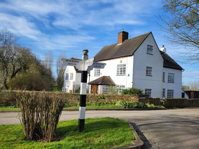
Church Eaton

Church Eaton is a village and civil parish in Staffordshire some 6 miles (10 km) southwest of Stafford, 6 miles (10 km) northwest of Penkridge and 4 miles...

Apeton

Apeton is a hamlet in Staffordshire in the West Midlands region of England. It is located 5+1⁄2 miles (8.9 km) southwest of Stafford, in the civil parish...

Brazenhill

Brazenhill is rural area immediately north of the village of Haughton in Staffordshire, England. It is effectively defined by Brazenhill Lane which is...

Woollaston

Woollaston is a small hamlet near Bradley, Staffordshire, England, four miles northwest of Penkridge and two miles southeast of Church Eaton. It lies in...

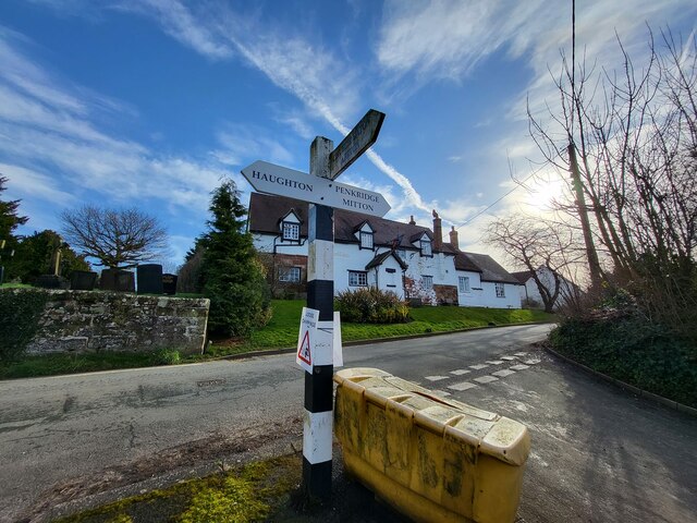
Haughton, Staffordshire

Haughton is a village in Staffordshire, England, approximately 4 miles outside and to the west of the county town of Stafford. It lies on the A518 between...

Little Onn

Little Onn is a hamlet in Staffordshire, England located in open countryside 1 mile (2 km) north of Wheaton Aston. It is the location of the former Second...

Have you been to Middle Covert?

Leave your review of Middle Covert below (or comments, questions and feedback).