Quarry Wood
Wood, Forest in Northumberland
England
Quarry Wood
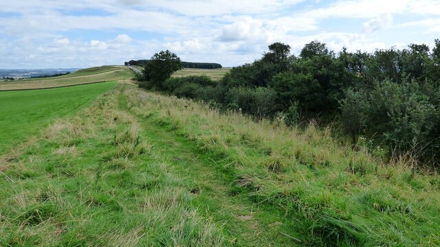
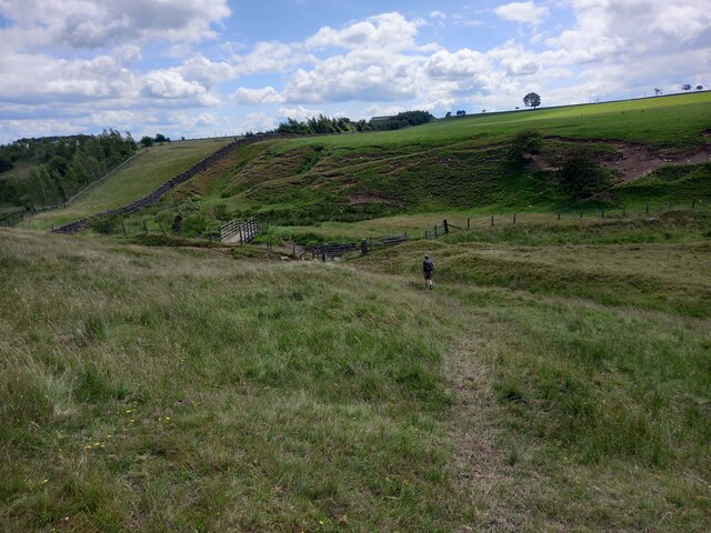
Quarry Wood is a charming woodland located in the county of Northumberland, a region renowned for its natural beauty in northeastern England. This enchanting forest covers an area of approximately 50 acres, providing a tranquil and serene environment for visitors to explore.
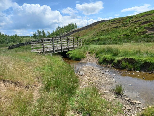
The wood is characterized by its diverse range of tree species, including oak, beech, and birch, which create a lush canopy that offers shade and shelter to both wildlife and visitors. The forest floor is adorned with a rich carpet of bluebells and other wildflowers during the spring, adding a burst of color to the already picturesque landscape. Additionally, Quarry Wood is home to a variety of wildlife, including squirrels, birds, and even deer, which can often be spotted roaming freely.
The wood offers a network of well-maintained paths and trails, making it an ideal destination for walkers, hikers, and nature enthusiasts. These pathways wind through the forest, leading visitors to discover hidden glades, babbling brooks, and peaceful ponds dotted throughout the woodland.
Quarry Wood also boasts a small picnic area near its entrance, providing a perfect spot for visitors to relax and enjoy a packed lunch amidst the beauty of nature. The wood is easily accessible by car, with ample parking available, making it a popular destination for locals and tourists alike.
In summary, Quarry Wood offers a peaceful retreat from the hustle and bustle of everyday life, inviting visitors to immerse themselves in the beauty of Northumberland's natural landscape. With its diverse flora and fauna, well-maintained trails, and idyllic picnic area, this woodland is a must-visit for anyone seeking solace and tranquility in the heart of Northumberland.
If you have any feedback on the listing, please let us know in the comments section below.
Quarry Wood Images
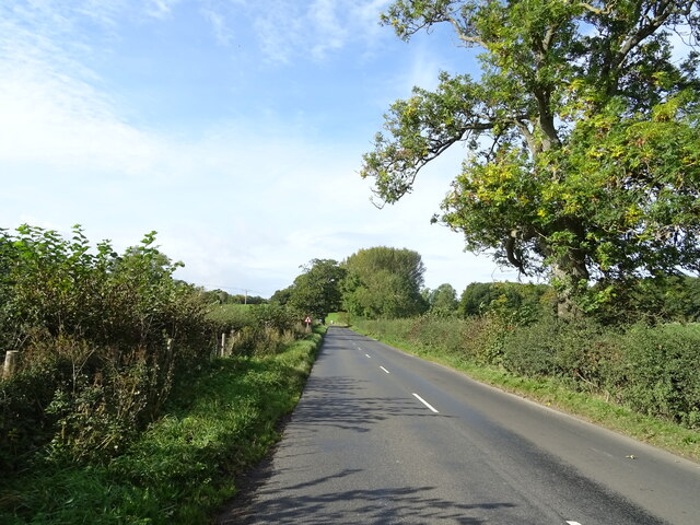
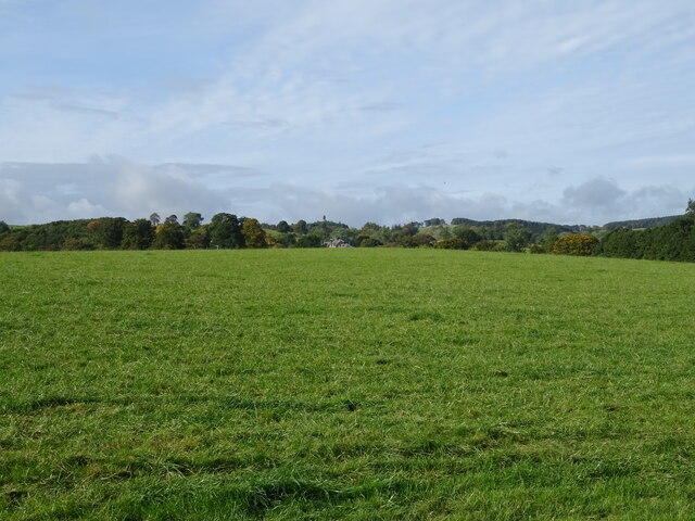
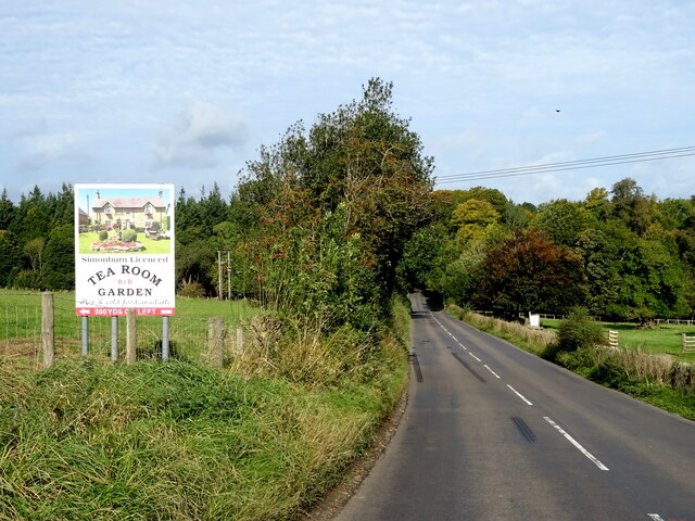
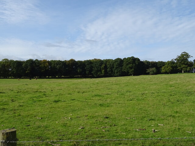
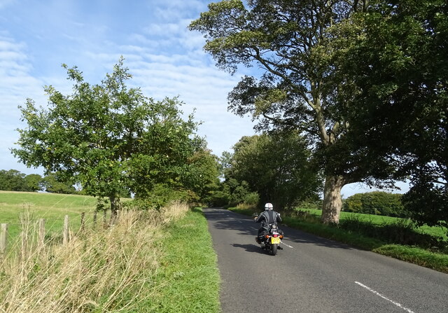
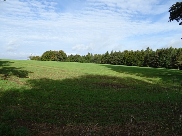
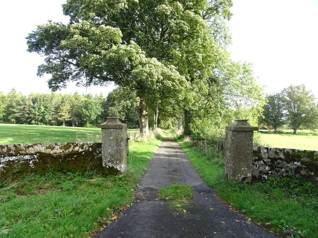
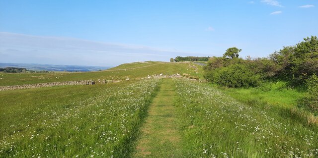
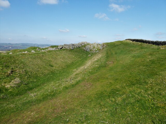
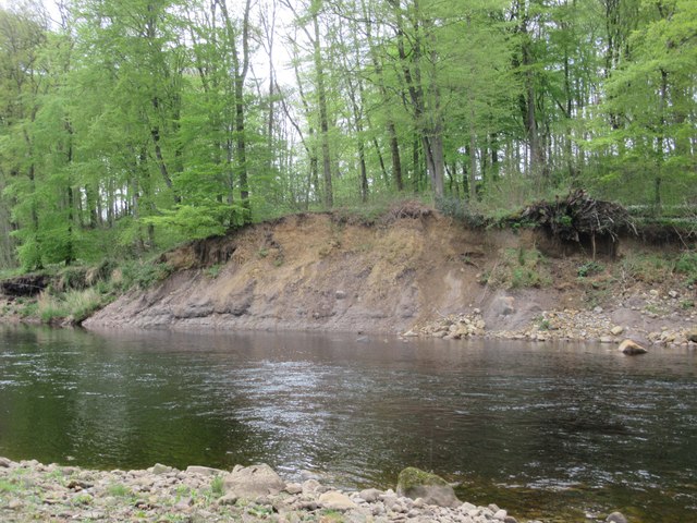
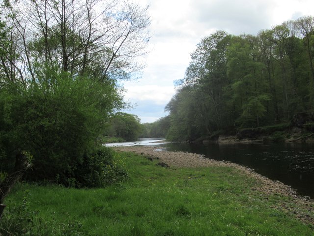
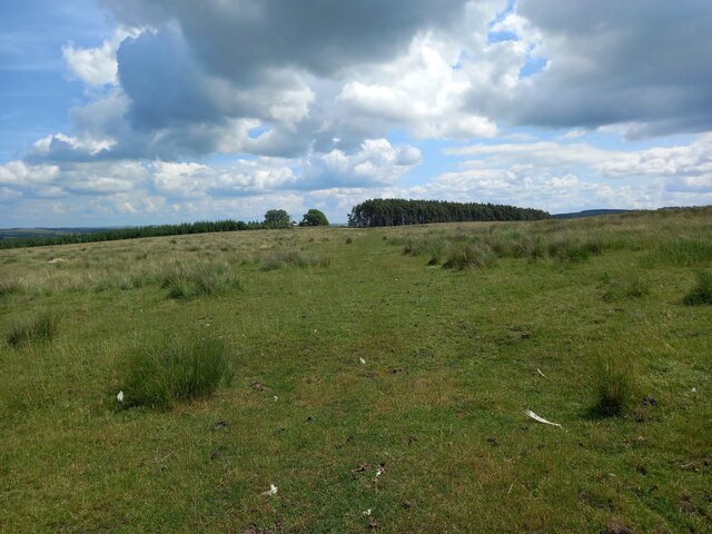
Images are sourced within 2km of 55.054558/-2.2092101 or Grid Reference NY8673. Thanks to Geograph Open Source API. All images are credited.
Quarry Wood is located at Grid Ref: NY8673 (Lat: 55.054558, Lng: -2.2092101)
Unitary Authority: Northumberland
Police Authority: Northumbria
What 3 Words
///collected.bigger.node. Near Birtley, Northumberland
Nearby Locations
Related Wikis

Simonburn
Simonburn is a small human settlement in Northumberland, England. == Early history == Simonburn lies to the north of Hadrian's Wall, the most noted Roman...

Nunwick Hall
Nunwick Hall is a privately owned 18th-century country house near Simonburn, Northumberland in North East England. The estate has been the home of the...

Greenhaugh
Greenhaugh is a small village in Northumberland, England. It is located northwest of Bellingham and borders the Northumberland National Park. It is in...

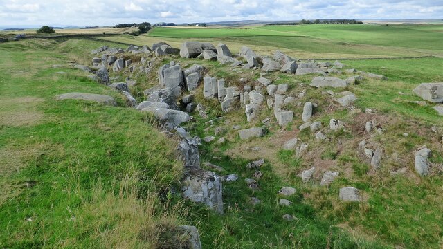
Milecastle 30
Milecastle 30 (Limestone Corner) was a milecastle of the Roman Hadrian's Wall. Its remains exist as an outward-facing scarp with a maximum height of 0...
Nearby Amenities
Located within 500m of 55.054558,-2.2092101Have you been to Quarry Wood?
Leave your review of Quarry Wood below (or comments, questions and feedback).