Tidnock Wood
Wood, Forest in Cheshire
England
Tidnock Wood
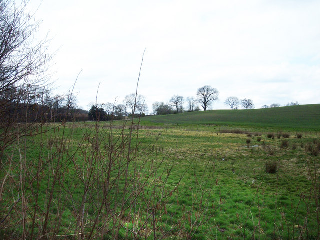
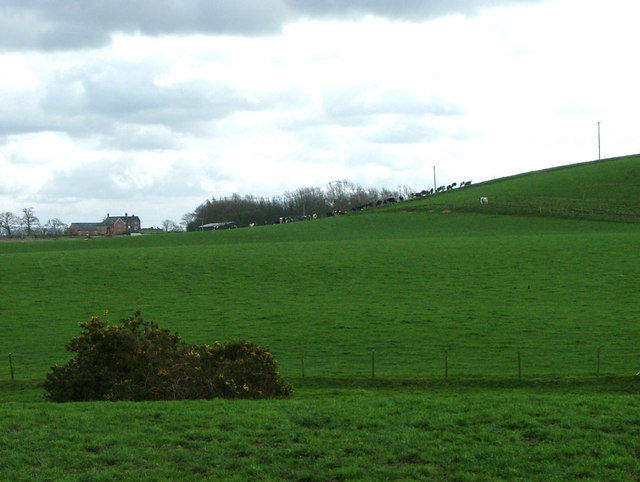
Tidnock Wood is a picturesque woodland located in the county of Cheshire, England. Covering an area of approximately 30 hectares, the wood is known for its diverse range of flora and fauna, making it a popular destination for nature enthusiasts and hikers alike.
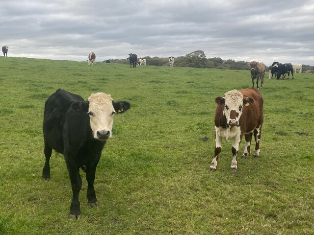
The wood is predominantly composed of mixed deciduous trees, including oak, beech, and silver birch, which create a beautiful canopy overhead. These trees provide a habitat for a variety of wildlife, such as squirrels, deer, and numerous bird species, making Tidnock Wood a haven for nature lovers.
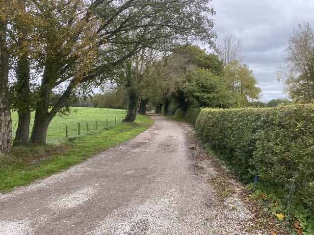
Tranquil walking paths wind their way through the wood, allowing visitors to explore the area and take in its natural beauty. The paths are well-maintained and clearly marked, making it easy for visitors to navigate and enjoy the peaceful surroundings.
In addition to its natural charm, Tidnock Wood also boasts historical significance. The area was once part of the medieval forest of Macclesfield, which played a crucial role in supplying timber for the construction of ships during the reign of King Edward III. Remnants of this historical significance can still be seen today, with some ancient trees dating back hundreds of years.
Tidnock Wood offers a serene escape from the hustle and bustle of everyday life, providing a tranquil setting for walking, picnicking, and wildlife spotting. Its natural beauty and historical significance make it a must-visit destination for those seeking a closer connection with nature and a glimpse into the region's rich history.
If you have any feedback on the listing, please let us know in the comments section below.
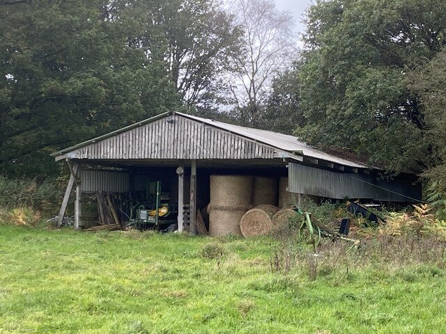
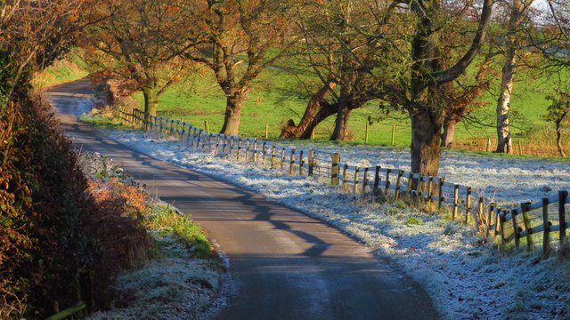
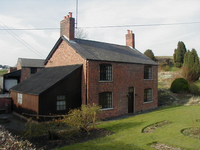
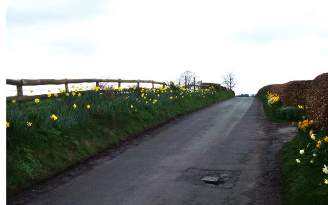
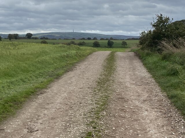
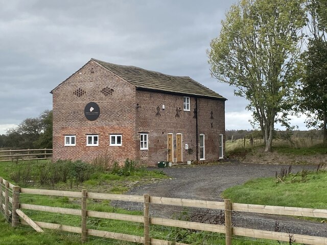
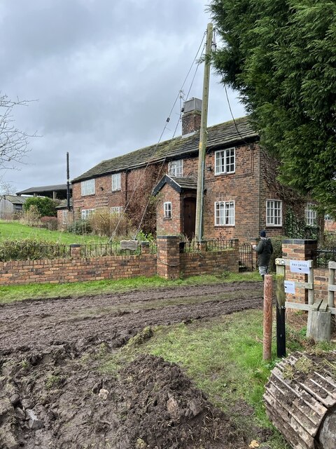
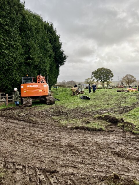
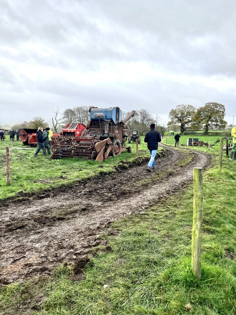
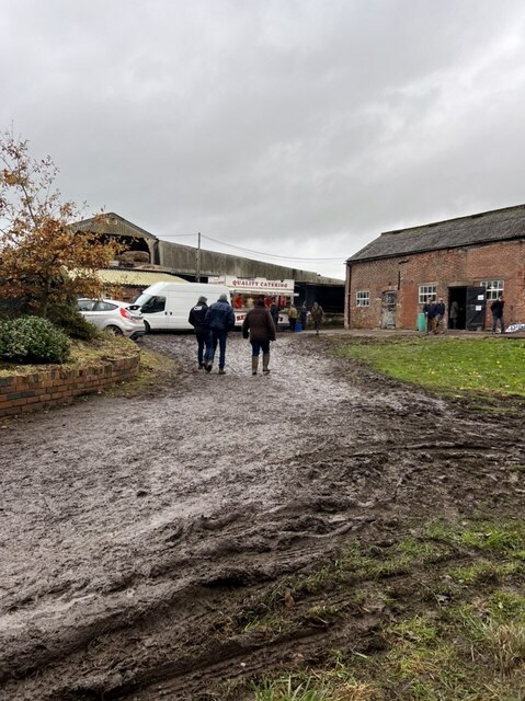
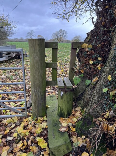
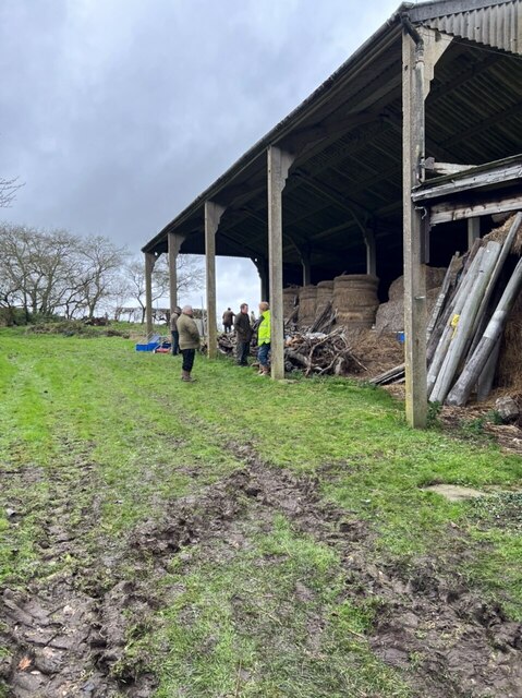
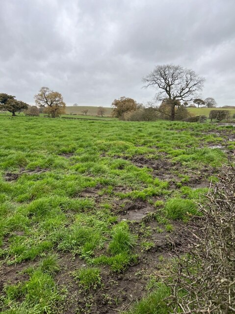
Tidnock Wood Images
Images are sourced within 2km of 53.220929/-2.1972065 or Grid Reference SJ8669. Thanks to Geograph Open Source API. All images are credited.
Tidnock Wood is located at Grid Ref: SJ8669 (Lat: 53.220929, Lng: -2.1972065)
Unitary Authority: Cheshire East
Police Authority: Cheshire
What 3 Words
///trickling.beaks.lands. Near Siddington, Cheshire
Nearby Locations
Related Wikis

Harrington Arms, Gawsworth
The Harrington Arms is in Church Lane, Gawsworth, Cheshire, England, and is recorded in the National Heritage List for England as a designated Grade II...

Warren, Cheshire
Warren is the traditional name for the largest settlement in the civil parish of Gawsworth in Cheshire, England. It is situated just to the north west...

Gawsworth Old Rectory
Gawsworth Old Rectory is a medieval house in the village of Gawsworth, Cheshire, England. It is known for the rare survival of its "open hall" and the...

St James' Church, Gawsworth
St James' Church is in the village of Gawsworth, Cheshire, England, and is sited near Gawsworth Hall. It is recorded in the National Heritage List for...
Nearby Amenities
Located within 500m of 53.220929,-2.1972065Have you been to Tidnock Wood?
Leave your review of Tidnock Wood below (or comments, questions and feedback).