Garden Plantation
Wood, Forest in Staffordshire South Staffordshire
England
Garden Plantation
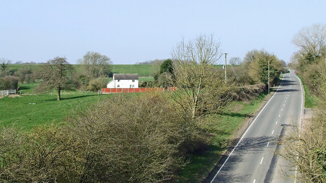
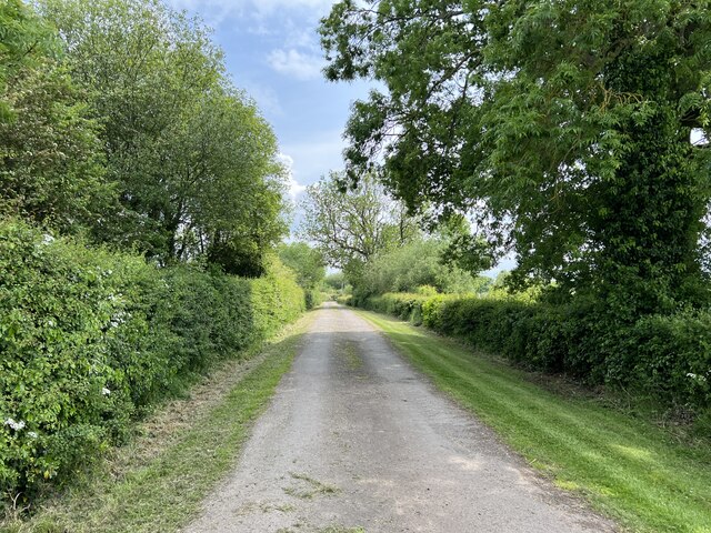
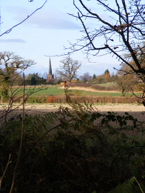
Garden Plantation, located in Staffordshire, is a serene woodland area known for its lush greenery and diverse plant life. Spanning over a vast area, this plantation is a haven for nature enthusiasts and hikers seeking tranquility in the heart of Staffordshire.
The plantation is characterized by its dense forest, which is home to a variety of plant species, including oak, beech, and pine trees. These towering trees create a picturesque landscape, providing shade and shelter for the numerous wildlife species that inhabit the area.
Garden Plantation is also known for its well-maintained walking trails, which wind through the forest, offering visitors the opportunity to explore the natural beauty of the surroundings. The trails range in difficulty, catering to both casual walkers and experienced hikers. Along these paths, visitors can discover hidden streams, peaceful ponds, and vibrant wildflowers.
The plantation is a popular destination for birdwatchers, as it attracts a wide range of bird species. Bird enthusiasts can spot woodpeckers, jays, and various songbirds throughout the year. Additionally, the plantation serves as a habitat for other wildlife, including deer, rabbits, and squirrels.
With its serene atmosphere and abundance of natural beauty, Garden Plantation offers a tranquil escape from the bustling city life of Staffordshire. Whether it is for a leisurely stroll, a family picnic, or a birdwatching adventure, this woodland paradise has something to offer to nature lovers of all ages.
If you have any feedback on the listing, please let us know in the comments section below.
Garden Plantation Images
Images are sourced within 2km of 52.678759/-2.2033018 or Grid Reference SJ8609. Thanks to Geograph Open Source API. All images are credited.
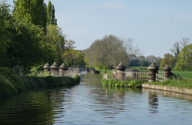
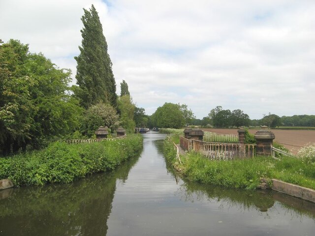
![Stretton Aqueduct, Shropshire Union Canal The text on the iron trough aqueduct proclaims this to be the Birmingham and Liverpool [Junction] Canal, which ran from Nantwich to Autherley Junction outside Wolverhampton and later became part of the Shropshire Union system. The name of the engineer Thomas Telford is below. Telford also engineered the turnpike road that passes beneath it, the A5 London to Holyhead road.](https://s1.geograph.org.uk/geophotos/07/39/45/7394513_0848dcc4.jpg)
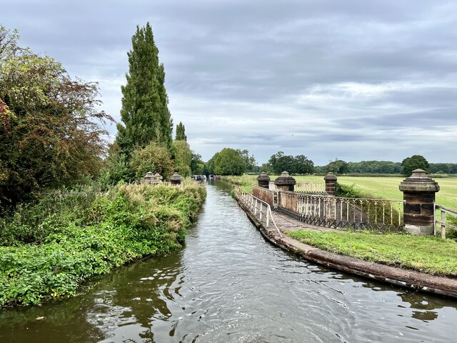
![Stretton Aqueduct, Shropshire Union Canal (detail) The text on the iron trough aqueduct proclaims this to be the Birmingham and Liverpool [Junction] Canal, which ran from Nantwich to Autherley Junction outside Wolverhampton and later became part of the Shropshire Union system. The name of the engineer Thomas Telford is below. Telford also engineered the turnpike road that passes beneath it, the A5 London to Holyhead road.](https://s2.geograph.org.uk/geophotos/07/39/45/7394514_344d265d.jpg)
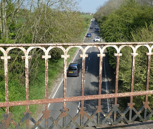
![Watling Street [A5], from Stretton Aqueduct The aqueduct railings could do with a repaint. The former Roman road is also a civil parish boundary here - Brewood &amp; Coven to the left/south, Lapley, Stretton &amp; Wheaton Aston to the right/north.](https://s2.geograph.org.uk/geophotos/07/51/37/7513782_52dce46e.jpg)

Garden Plantation is located at Grid Ref: SJ8609 (Lat: 52.678759, Lng: -2.2033018)
Administrative County: Staffordshire
District: South Staffordshire
Police Authority: Staffordshire
What 3 Words
///attic.clipped.dispose. Near Brewood, Staffordshire
Nearby Locations
Related Wikis

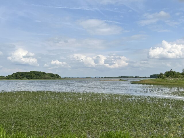
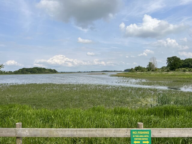
Belvide Reservoir
Belvide Reservoir is a reservoir in South Staffordshire, England. It was built in 1833 to supply the Birmingham and Liverpool Junction Canal, and has been...

Black Ladies Priory
Black Ladies Priory was a house of Benedictine nuns, located about 4 km west of Brewood in Staffordshire, on the northern edge of the hamlet of Kiddemore...

St Dominic's Grammar School
St Dominic's Grammar School (formerly St Dominic's Brewood and St Dominic's High School For Girls and boys ) is a private day school for girls and boys...
Brewood Grammar School
Brewood Grammar School was a boys' school in the village of Brewood in South Staffordshire, England. Founded in the mid 15th century by the Bishop of Lichfield...

Stretton Aqueduct
Stretton Aqueduct is a short cast iron canal aqueduct between Stretton and Brewood, and near to Belvide Reservoir, in south Staffordshire, England. Designed...
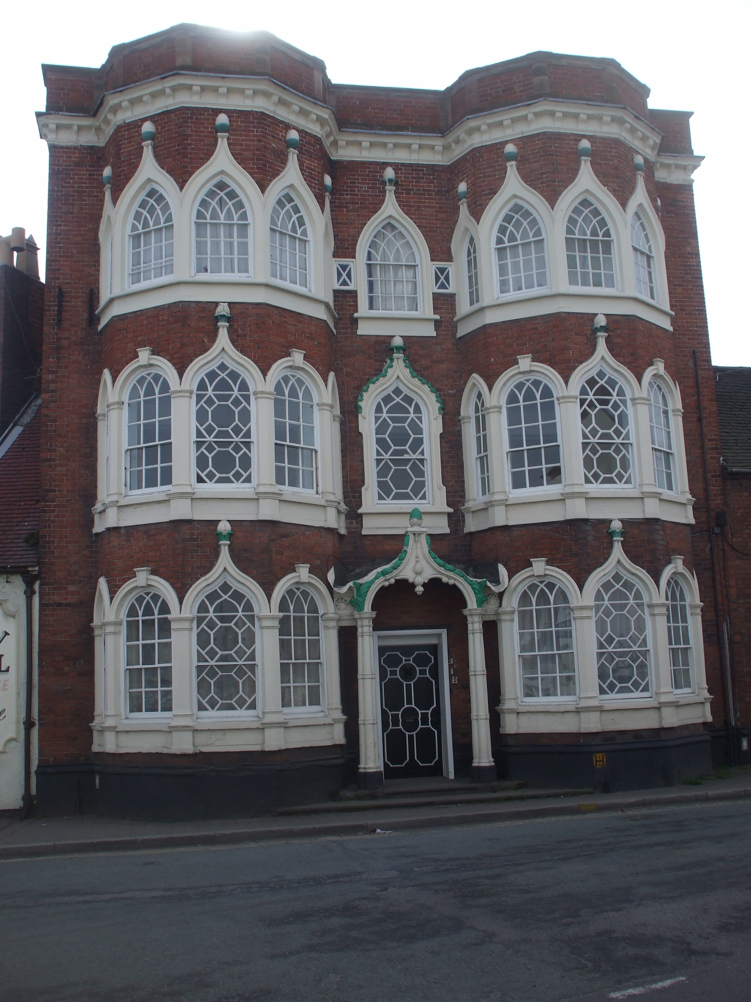
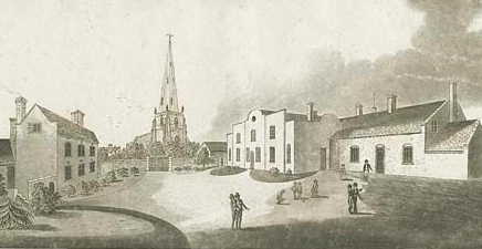
Speedwell Castle
Speedwell Castle is a mid-18th-century house at the centre of Brewood, Staffordshire, between Wolverhampton and Stafford. Described by Pevsner as a "peach...
Brewood
Brewood is an ancient market town in the civil parish of Brewood and Coven, in the South Staffordshire district, in the county of Staffordshire, England...

Chillington Hall
Chillington Hall is a Georgian country house near Brewood, Staffordshire, England, four miles northwest of Wolverhampton. It is the residence of the Giffard...
Nearby Amenities
Located within 500m of 52.678759,-2.2033018Have you been to Garden Plantation?
Leave your review of Garden Plantation below (or comments, questions and feedback).