Drybrook Plantation
Wood, Forest in Staffordshire South Staffordshire
England
Drybrook Plantation
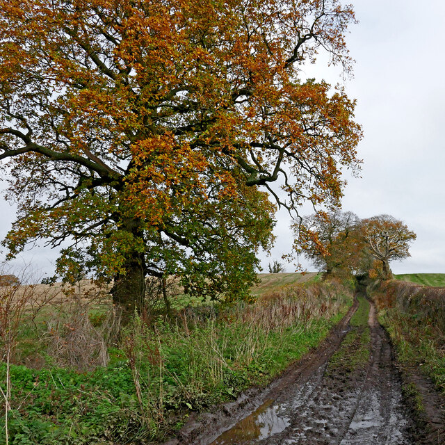
Drybrook Plantation is a picturesque woodland located in Staffordshire, England. Situated in the heart of the county, this forested area covers a sprawling expanse of approximately 500 acres, making it a significant natural heritage site in the region.
The plantation is primarily composed of various species of deciduous trees, including oak, beech, and birch, which create a diverse and vibrant ecosystem. The woodland floor is blanketed with an array of native flora, such as bluebells, wild garlic, and ferns, adding to its natural beauty.
Drybrook Plantation is a haven for wildlife, offering shelter and sustenance to a wide range of species. Birdwatchers will be delighted to spot various avian inhabitants, including woodpeckers, buzzards, and tawny owls. The forest also attracts mammals like foxes, badgers, and deer, making it an ideal spot for wildlife enthusiasts and nature photographers.
The plantation offers several walking trails, allowing visitors to immerse themselves in the tranquil atmosphere while enjoying the stunning scenery. These paths wind through the woodland, providing opportunities to explore its hidden corners and discover the rich biodiversity it holds. The forest also features designated picnic areas, perfect for families and groups to relax and enjoy a meal amidst the natural surroundings.
As a testament to its ecological significance, Drybrook Plantation is protected and managed by Staffordshire County Council. The council ensures the preservation of the woodland and its inhabitants, promoting sustainable practices and maintaining the delicate balance of the ecosystem.
Overall, Drybrook Plantation in Staffordshire is a captivating woodland that offers visitors a chance to connect with nature. Its abundant flora and fauna, coupled with its well-maintained trails, make it a must-visit destination for those seeking solace in the beauty of the outdoors.
If you have any feedback on the listing, please let us know in the comments section below.
Drybrook Plantation Images
Images are sourced within 2km of 52.680733/-2.2052043 or Grid Reference SJ8609. Thanks to Geograph Open Source API. All images are credited.
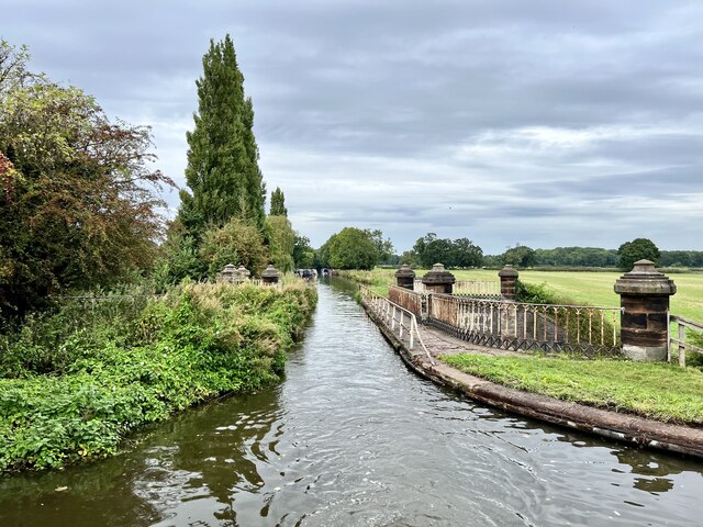
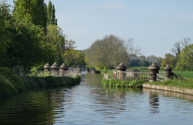
![Stretton Aqueduct, Shropshire Union Canal The text on the iron trough aqueduct proclaims this to be the Birmingham and Liverpool [Junction] Canal, which ran from Nantwich to Autherley Junction outside Wolverhampton and later became part of the Shropshire Union system. The name of the engineer Thomas Telford is below. Telford also engineered the turnpike road that passes beneath it, the A5 London to Holyhead road.](https://s1.geograph.org.uk/geophotos/07/39/45/7394513_0848dcc4.jpg)
![Stretton Aqueduct, Shropshire Union Canal (detail) The text on the iron trough aqueduct proclaims this to be the Birmingham and Liverpool [Junction] Canal, which ran from Nantwich to Autherley Junction outside Wolverhampton and later became part of the Shropshire Union system. The name of the engineer Thomas Telford is below. Telford also engineered the turnpike road that passes beneath it, the A5 London to Holyhead road.](https://s2.geograph.org.uk/geophotos/07/39/45/7394514_344d265d.jpg)
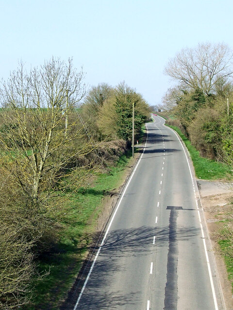
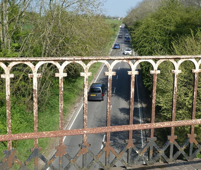
![Watling Street [A5], from Stretton Aqueduct The aqueduct railings could do with a repaint. The former Roman road is also a civil parish boundary here - Brewood &amp; Coven to the left/south, Lapley, Stretton &amp; Wheaton Aston to the right/north.](https://s2.geograph.org.uk/geophotos/07/51/37/7513782_52dce46e.jpg)


Drybrook Plantation is located at Grid Ref: SJ8609 (Lat: 52.680733, Lng: -2.2052043)
Administrative County: Staffordshire
District: South Staffordshire
Police Authority: Staffordshire
What 3 Words
///tell.nudge.stone. Near Brewood, Staffordshire
Nearby Locations
Related Wikis

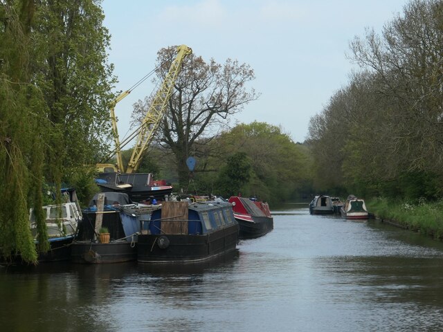
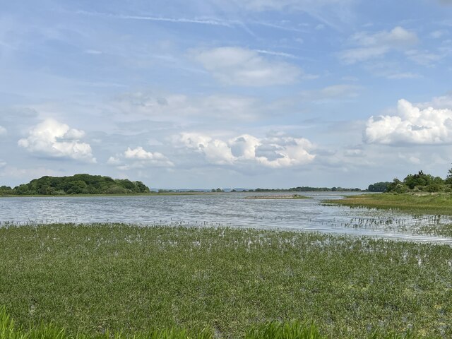
Belvide Reservoir
Belvide Reservoir is a reservoir in South Staffordshire, England. It was built in 1833 to supply the Birmingham and Liverpool Junction Canal, and has been...

Black Ladies Priory
Black Ladies Priory was a house of Benedictine nuns, located about 4 km west of Brewood in Staffordshire, on the northern edge of the hamlet of Kiddemore...

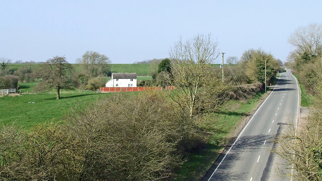
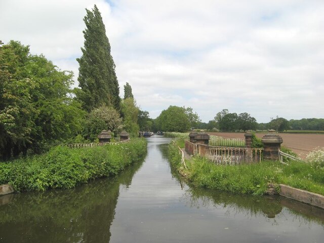
Stretton Aqueduct
Stretton Aqueduct is a short cast iron canal aqueduct between Stretton and Brewood, and near to Belvide Reservoir, in south Staffordshire, England. Designed...

St Dominic's Grammar School
St Dominic's Grammar School (formerly St Dominic's Brewood and St Dominic's High School For Girls and boys ) is a private day school for girls and boys...
Brewood Grammar School
Brewood Grammar School was a boys' school in the village of Brewood in South Staffordshire, England. Founded in the mid 15th century by the Bishop of Lichfield...
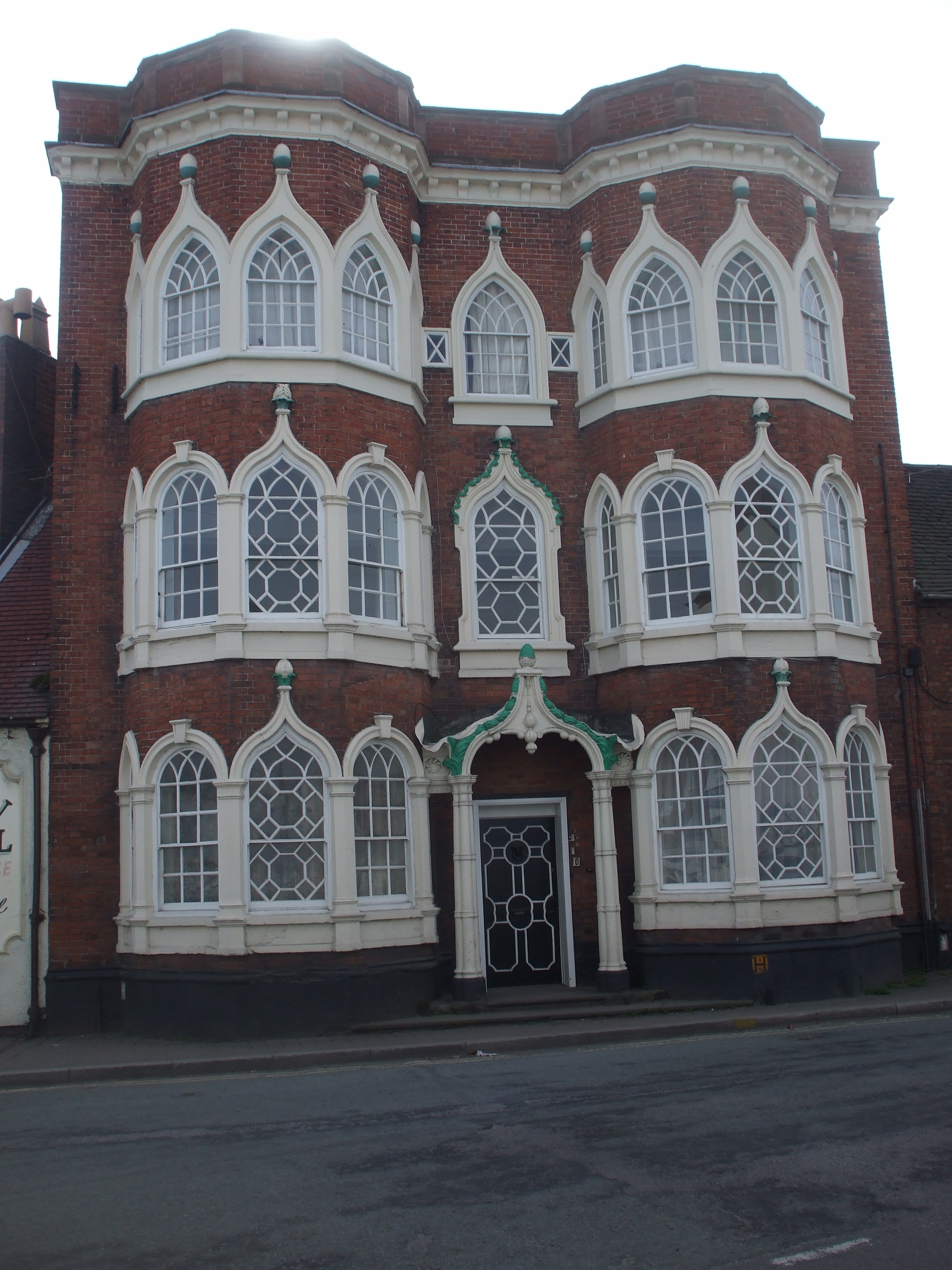
Speedwell Castle
Speedwell Castle is a mid-18th-century house at the centre of Brewood, Staffordshire, between Wolverhampton and Stafford. Described by Pevsner as a "peach...
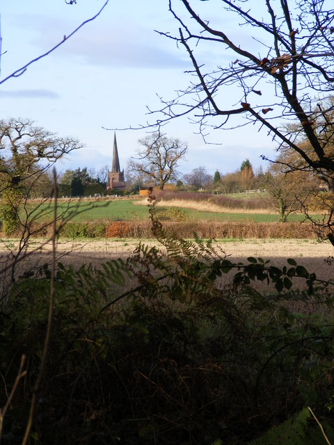
Brewood
Brewood is an ancient market town in the civil parish of Brewood and Coven, in the South Staffordshire district, in the county of Staffordshire, England...
Bishops Wood
Bishops Wood, or Bishopswood (grid reference SJ835097) is a small village on the Staffordshire border with Shropshire. It is home to the Royal Oak public...
Nearby Amenities
Located within 500m of 52.680733,-2.2052043Have you been to Drybrook Plantation?
Leave your review of Drybrook Plantation below (or comments, questions and feedback).