Clough Wood
Wood, Forest in Yorkshire Richmondshire
England
Clough Wood
Clough Wood is an enchanting forest located in the scenic county of Yorkshire, England. Spanning over a vast area, this woodland is nestled in the picturesque landscape of the Yorkshire Dales National Park. Clough Wood is known for its diverse flora and fauna, making it a haven for nature enthusiasts and wildlife lovers alike.
The woodland is characterized by its dense canopy of towering trees, primarily consisting of oak, beech, and ash. These majestic trees create a serene and tranquil atmosphere, providing shade and shelter to a wide variety of plant and animal species. The forest floor is adorned with a carpet of vibrant wildflowers, including bluebells, primroses, and foxgloves, adding a burst of color to the greenery.
Traversing through Clough Wood is a delight for hikers and nature walkers, as there are numerous well-maintained trails and paths that wind their way through the forest. Along these trails, visitors can spot an array of wildlife such as deer, squirrels, badgers, and a plethora of bird species. The wood is also home to several rare and protected species, including the red kite and the lesser horseshoe bat.
Clough Wood offers a peaceful retreat from the hustle and bustle of city life, providing a serene escape for those seeking solitude and connection with nature. With its breathtaking scenery, diverse ecosystem, and well-preserved trails, this woodland is truly a gem in the heart of Yorkshire, offering a memorable experience for all who venture within its boundaries.
If you have any feedback on the listing, please let us know in the comments section below.
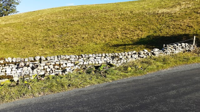
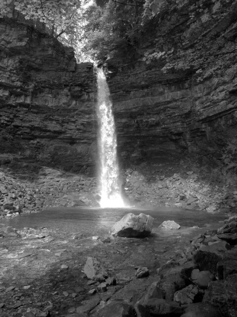
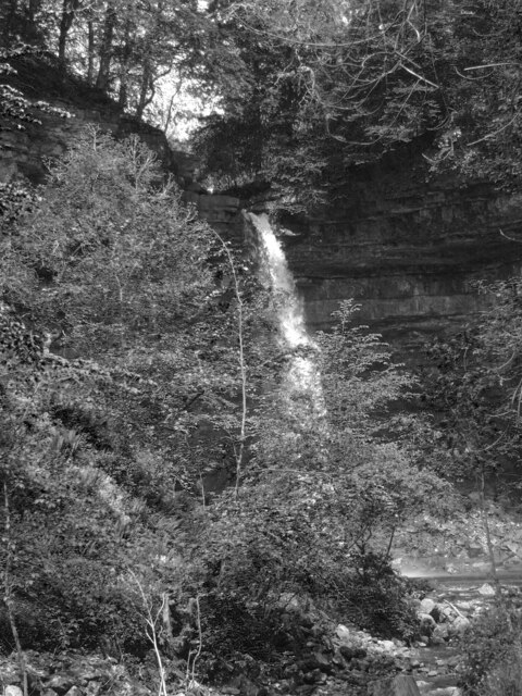
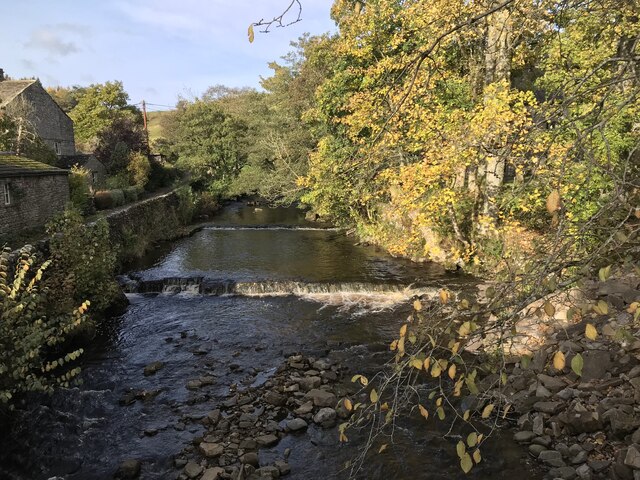
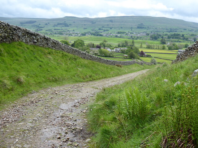
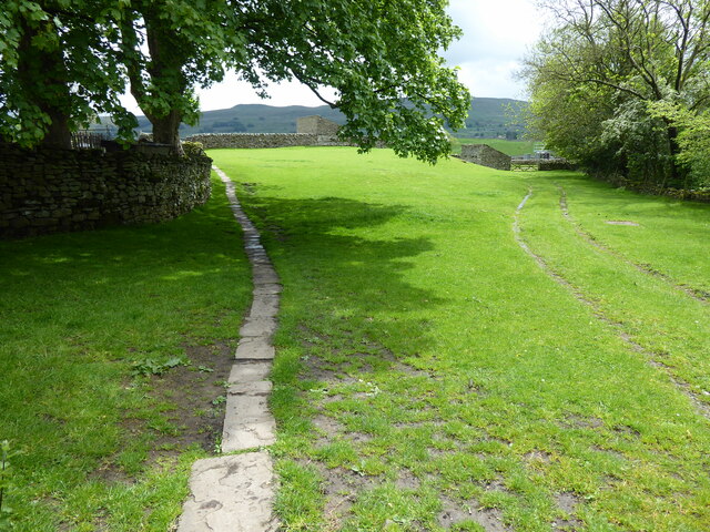
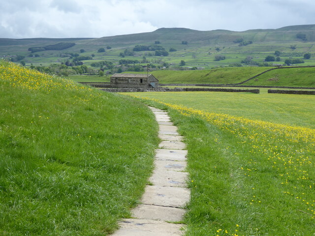
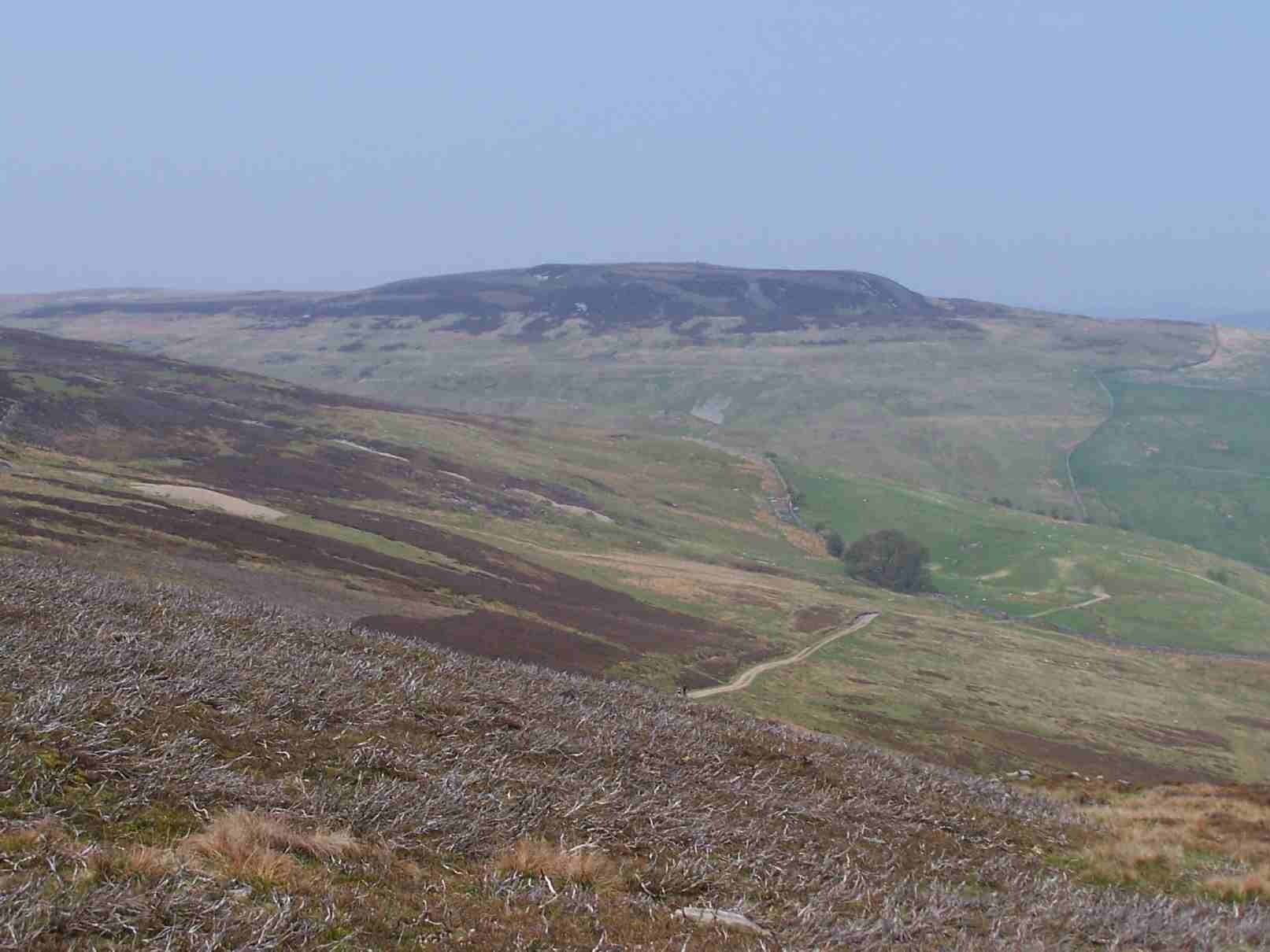
Clough Wood Images
Images are sourced within 2km of 54.332475/-2.2134279 or Grid Reference SD8693. Thanks to Geograph Open Source API. All images are credited.


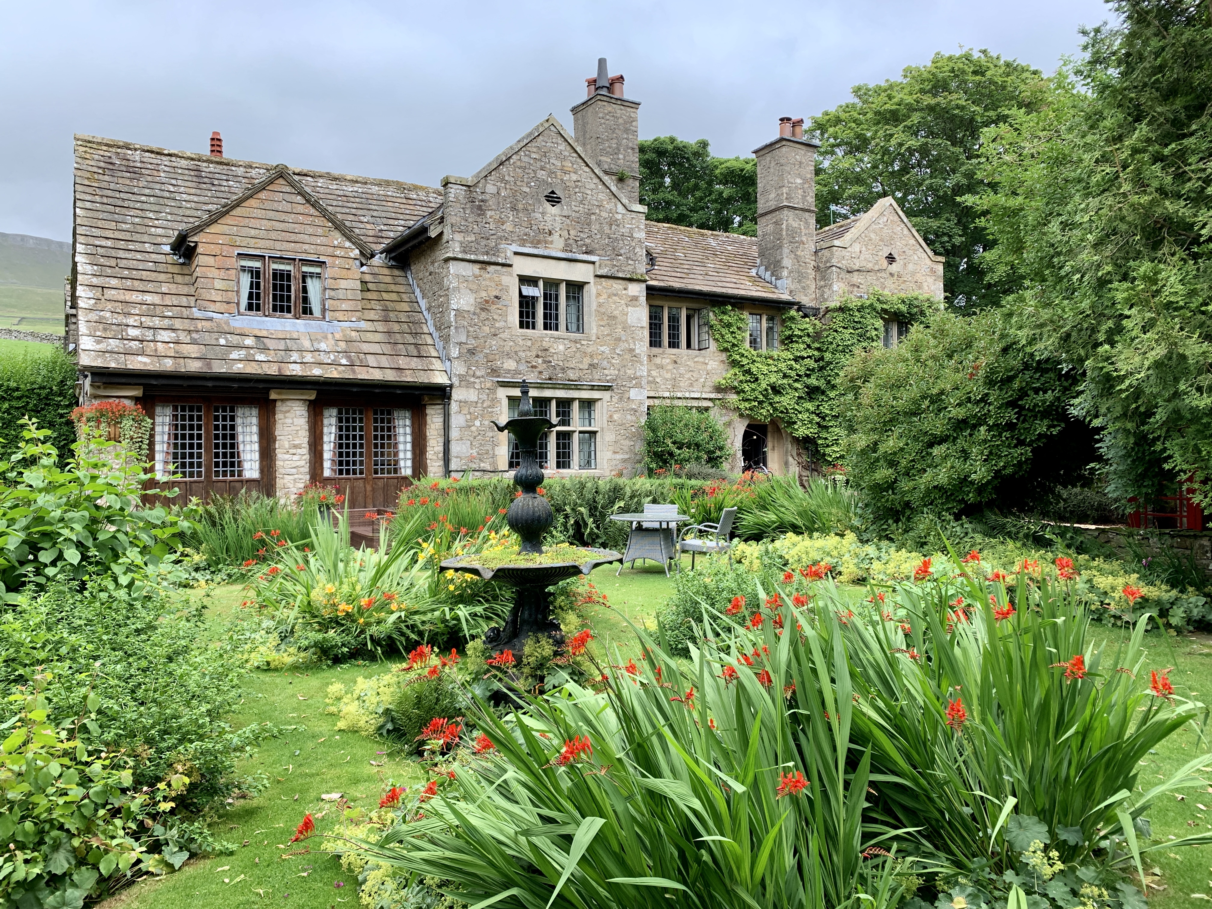
![Pry House, Appersett Farmland in upper Wensleydale.
[Image formed from 2 photos merged together.]](https://s0.geograph.org.uk/geophotos/07/23/49/7234920_6836e27c.jpg)


Clough Wood is located at Grid Ref: SD8693 (Lat: 54.332475, Lng: -2.2134279)
Division: North Riding
Administrative County: North Yorkshire
District: Richmondshire
Police Authority: North Yorkshire
What 3 Words
///prone.indicate.landlady. Near Kirkby Stephen, Cumbria
Nearby Locations
Related Wikis

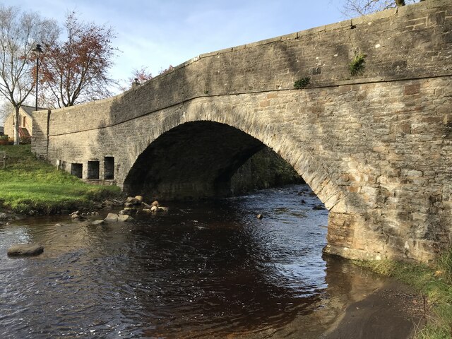
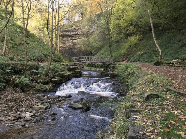
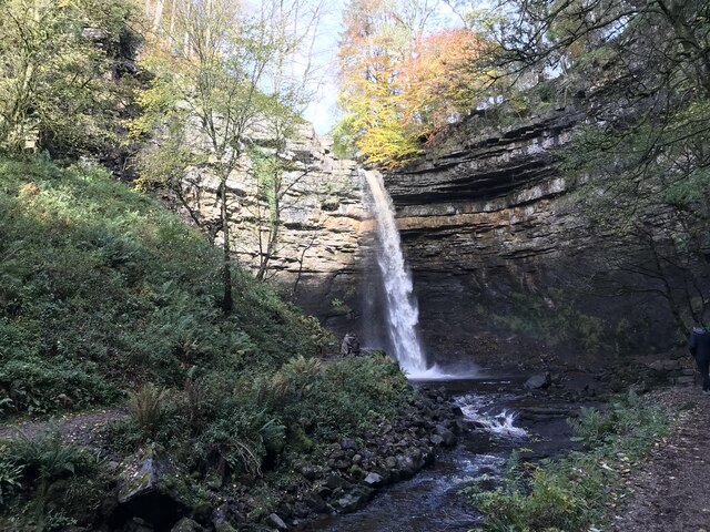
Hardraw Force
Hardraw Force (OS grid ref: SD869917) is a waterfall on Hardraw Beck in Hardraw Scar, a wooded ravine just outside the hamlet of Hardraw, 0.9 miles (1...

Simonstone, North Yorkshire
Simonstone is a hamlet near Hawes and Hardraw Force within the Yorkshire Dales in North Yorkshire, England. == References ==

St Mary and St John's Church, Hardraw
St Mary and St John's Church, Hardraw (also Hardrow) is a Grade II listed parish church in the Church of England: 181 in Hardraw, North Yorkshire. �...

Hardraw
Hardraw is a hamlet near Hawes within the Yorkshire Dales in North Yorkshire, England. It takes its name from the nearby Hardraw Force waterfall. The old...

Cotter Force
Cotter Force is a small waterfall on Cotterdale Beck, a minor tributary of the River Ure, near the mouth of Cotterdale, a side dale in Wensleydale, North...

Appersett
Appersett is a hamlet in the Yorkshire Dales in the Richmondshire district of North Yorkshire, England one mile (1.6 km) west of Hawes. It lies on the...
Lovely Seat
Lovely Seat, originally known as Lunasett until being misnamed by map makers some time in the twentieth century, is a fell in the Yorkshire Dales National...
Stone House, Hawes
Stone House is a Grade II listed building in the civil parish of High Abbotside, near Hawes, North Yorkshire, England. == History == Stone House was built...
Nearby Amenities
Located within 500m of 54.332475,-2.2134279Have you been to Clough Wood?
Leave your review of Clough Wood below (or comments, questions and feedback).