Cranberry Moss

Wood, Forest in Cheshire

England

Cranberry Moss

Pearson Bridge north-east of Congleton, Cheshire Pearson Bridge is No 64 across the Macclesfield Canal north-east of Congleton. It is a farmer's accommodation bridge with no public right of way across it or into adjacent fields.
Pearson Bridge north-east of Congleton, Cheshire Credit: Roger Kidd

Cranberry Moss is a picturesque woodland located in the county of Cheshire, England. Situated in the heart of the county, this enchanting forest covers an expansive area of approximately 200 acres. The moss takes its name from the abundance of cranberries that can be found growing wild throughout the area. Known for its diverse ecosystem, Cranberry Moss is home to a wide variety of flora and fauna, making it a popular destination for nature enthusiasts and hikers alike.

The woodland is characterized by its dense canopy of towering oak and beech trees, which provide a haven for many bird species, including woodpeckers and owls. The forest floor is adorned with a rich carpet of mosses, ferns, and wildflowers, creating a vibrant and magical atmosphere. Visitors can expect to encounter an array of wildlife, such as deer, foxes, and squirrels, as they explore the winding trails that meander through the forest.

Cranberry Moss offers a tranquil escape from the hustle and bustle of everyday life, making it an ideal location for peaceful walks and nature photography. The forest is also home to several designated picnic areas, where visitors can relax and enjoy the serene surroundings. Additionally, the moss is renowned for its autumnal beauty, as the foliage transforms into a breathtaking display of vibrant reds, oranges, and golds.

Access to Cranberry Moss is easy, with designated parking areas available for visitors. The forest is open to the public throughout the year, although it is advisable to check for any seasonal closures or special events. Whether seeking a peaceful retreat or an opportunity to immerse oneself in the wonders of nature, Cranberry Moss offers a truly enchanting experience for all who venture within its leafy embrace.

If you have any feedback on the listing, please let us know in the comments section below.

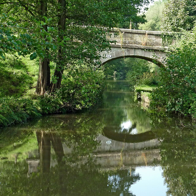
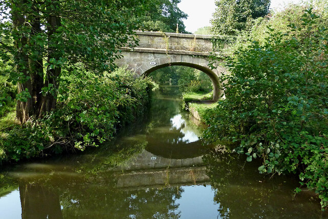
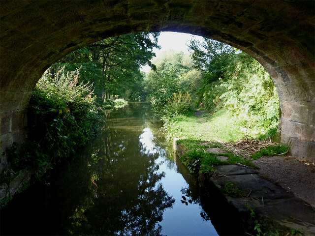
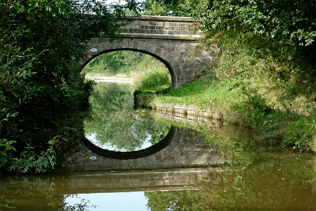
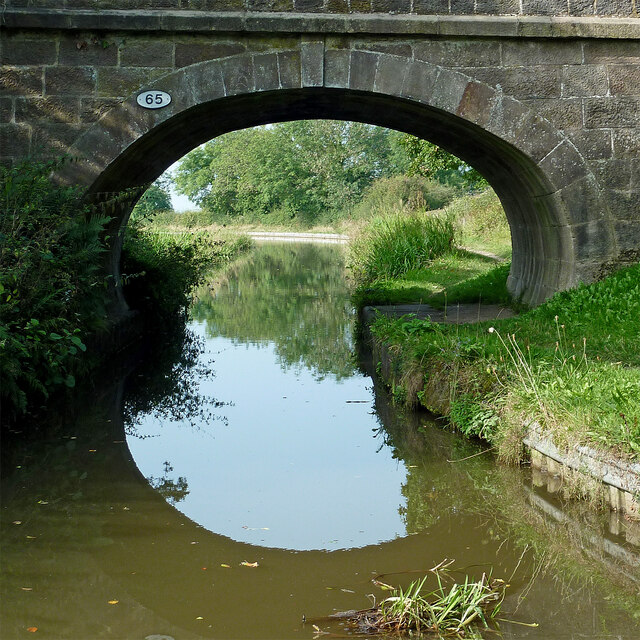
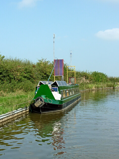
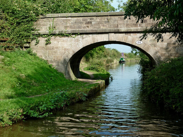
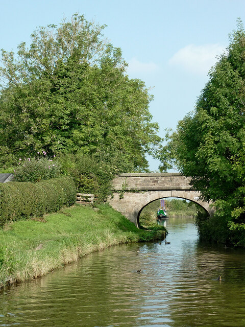
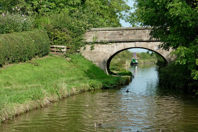
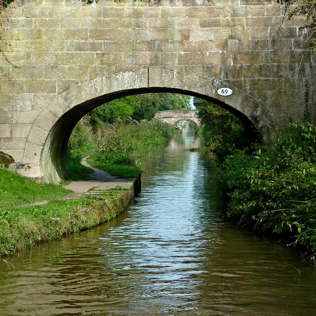
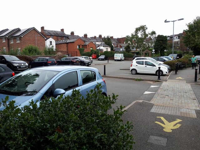
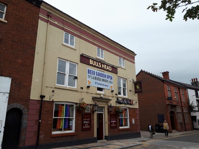
Cranberry Moss Images

Images are sourced within 2km of 53.180617/-2.2061487 or Grid Reference SJ8664. Thanks to Geograph Open Source API. All images are credited.

Pearson Bridge north-east of Congleton, Cheshire Pearson Bridge is No 64 across the Macclesfield Canal north-east of Congleton. It is a farmer's accommodation bridge with no public right of way across it or into adjacent fields.
Pearson Bridge north-east of Congleton, Cheshire
Pearson Bridge is No 64 across the Macclesfield Canal north-east of Congleton. It is a farmer's accommodation bridge with no public right of way across it or into adjacent fields.
Macclesfield Canal north-east of Congleton Looking south-west through the arch of Pearson Bridge, No 64 on the Macclesfield Canal north-east of Congleton.
Macclesfield Canal north-east of Congleton
Looking south-west through the arch of Pearson Bridge, No 64 on the Macclesfield Canal north-east of Congleton.
Stanleys Bridge near Congleton in Staffordshire Stanleys Bridge is No 64 across the Macclesfield Canal north-east of Congleton. It is a farmer's accommodation bridge with no public right of way across it or into adjacent fields.
Stanleys Bridge near Congleton in Staffordshire
Stanleys Bridge is No 64 across the Macclesfield Canal north-east of Congleton. It is a farmer's accommodation bridge with no public right of way across it or into adjacent fields.
Narrowboat with solar panels This unusually equipped narrowboat was moored north of Town Field Bridge (No 66) near Buglawton, Congleton. Don't forget to lower the masts before negotiating bridges! The vessel appears to be an old (1970s?) ex-hire boat.
Narrowboat with solar panels
This unusually equipped narrowboat was moored north of Town Field Bridge (No 66) near Buglawton, Congleton. Don't forget to lower the masts before negotiating bridges! The vessel appears to be an old (1970s?) ex-hire boat.
Town Field Bridge near Buglawton, Congleton Town Field Bridge is No 66 across the Macclesfield Canal near Buglawton, Congleton. It is a farmer's accommodation bridge with no public right of way across it or into adjacent fields.
Town Field Bridge near Buglawton, Congleton
Town Field Bridge is No 66 across the Macclesfield Canal near Buglawton, Congleton. It is a farmer's accommodation bridge with no public right of way across it or into adjacent fields.
Foden Bridge near Buglawton, Congleton Foden Bridge is No 67 across the Macclesfield Canal near Buglawton, Congleton. Before the housing development (off to the left), it was an accommodation bridge. There is still a narrow way across from Harvey Road, between the houses but this is not a public right of way.
Foden Bridge near Buglawton, Congleton
Foden Bridge is No 67 across the Macclesfield Canal near Buglawton, Congleton. Before the housing development (off to the left), it was an accommodation bridge. There is still a narrow way across from Harvey Road, between the houses but this is not a public right of way.
Buxton Road Bridge near Congleton, Cheshire Looking north-north-east, Buxton Road Bridge is No 68 across the Macclesfield Canal and carries the A54 road.
Buxton Road Bridge near Congleton, Cheshire
Looking north-north-east, Buxton Road Bridge is No 68 across the Macclesfield Canal and carries the A54 road.
Buxton Road Bridge near Congleton, Cheshire Looking north-north-east near Buglawton, Buxton Road Bridge is No 68 across the Macclesfield Canal and carries the A54 road.
Buxton Road Bridge near Congleton, Cheshire
Looking north-north-east near Buglawton, Buxton Road Bridge is No 68 across the Macclesfield Canal and carries the A54 road.
Macclesfield Canal bridge near Buglawton, Congleton Town Field Bridge is No 66 across the Macclesfield Canal near Buglawton, Congleton. It is a farmer's accommodation bridge with no public right of way across it or into adjacent fields.
Macclesfield Canal bridge near Buglawton, Congleton
Town Field Bridge is No 66 across the Macclesfield Canal near Buglawton, Congleton. It is a farmer's accommodation bridge with no public right of way across it or into adjacent fields.
Wallworths Bridge near Congleton in Cheshire Wallworths Bridge is No 69 across the Macclesfield Canal near Buglawton, Congleton. It is a farmer's accommodation bridge with no public right of way across it or into adjacent fields. It is missing from the OS map showing on this web page.
As I write in 2021, aerial photography shows that the farmland off to the left (Hudson Meadows) is being developed with housing.
Wallworths Bridge near Congleton in Cheshire
Wallworths Bridge is No 69 across the Macclesfield Canal near Buglawton, Congleton. It is a farmer's accommodation bridge with no public right of way across it or into adjacent fields. It is missing from the OS map showing on this web page. As I write in 2021, aerial photography shows that the farmland off to the left (Hudson Meadows) is being developed with housing.
Wallworths Bridge near Congleton in Cheshire Looking north-north-west, Wallworths Bridge is No 69 across the Macclesfield Canal near Buglawton, Congleton. It is a farmer's accommodation bridge with no public right of way across it or into adjacent fields. It is missing from the OS map showing on this web page.
As I write in 2021, aerial photography shows that the farmland off to the left (Hudson Meadows) is being developed with housing. <span class="nowrap"><a title="https://bloorhomes.com/developments/cheshire/congleton/hudson-meadows" rel="nofollow ugc noopener" href="https://bloorhomes.com/developments/cheshire/congleton/hudson-meadows">Link</a><img style="margin-left:2px;" alt="External link" title="External link - shift click to open in new window" src="https://s1.geograph.org.uk/img/external.png" width="10" height="10"/></span>
Wallworths Bridge near Congleton in Cheshire
Looking north-north-west, Wallworths Bridge is No 69 across the Macclesfield Canal near Buglawton, Congleton. It is a farmer's accommodation bridge with no public right of way across it or into adjacent fields. It is missing from the OS map showing on this web page. As I write in 2021, aerial photography shows that the farmland off to the left (Hudson Meadows) is being developed with housing. LinkExternal link
Antrobus Street car park, Congleton A relatively cheap pay-and-display facility, handy for the town centre shops.
Antrobus Street car park, Congleton
A relatively cheap pay-and-display facility, handy for the town centre shops.
The Bull's Head, Congleton The pub was converted from an 18th century and is grade II listed (list entry 1130471). See <a href="https://www.geograph.org.uk/photo/2202037">SJ8563 : The Bulls Head</a> for a view in 2010.  The building beyond it is the former post office.
The Bull's Head, Congleton
The pub was converted from an 18th century and is grade II listed (list entry 1130471). See SJ8563 : The Bulls Head for a view in 2010. The building beyond it is the former post office.
Footpath from Mill Street to Antrobus Street The path connects the shopping streets with a car park.
Footpath from Mill Street to Antrobus Street
The path connects the shopping streets with a car park.
The Counting House pub, Congleton The pub, formerly the National Westminster Bank (hence the name), is grade II listed (list entry 1106298) but is not as old as the half-timbering may suggest, being of 19th century date.  It is currently part of the J D Wetherspoon chain.
The Counting House pub, Congleton
The pub, formerly the National Westminster Bank (hence the name), is grade II listed (list entry 1106298) but is not as old as the half-timbering may suggest, being of 19th century date. It is currently part of the J D Wetherspoon chain.
Show me another place!

Cranberry Moss is located at Grid Ref: SJ8664 (Lat: 53.180617, Lng: -2.2061487)

Unitary Authority: Cheshire East

Police Authority: Cheshire

What 3 Words

///milk.submerge.brother. Near Eaton, Cheshire

Related Wikis

Eaton Bank Academy

Eaton Bank Academy (formerly Eaton Bank School) is a co-educational secondary school with academy status located in the town of Congleton in Cheshire,...

Havannah, Cheshire

Havannah near Congleton in Cheshire, England, is a former industrial and residential area and was at one time known as 'the deserted village'. It was established...

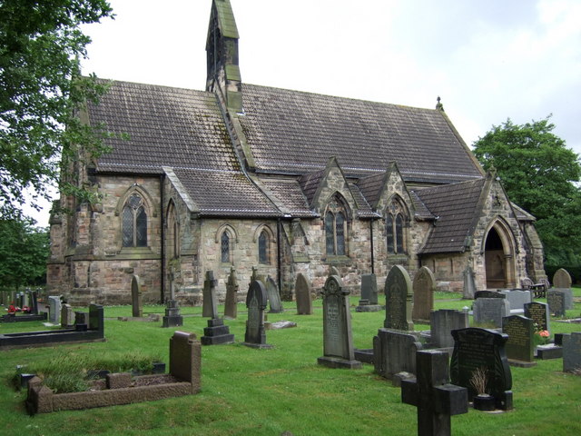
Christ Church, Eaton

Christ Church is in Macclesfield Road, the A536 road, to the south of the village of Eaton, Cheshire East, England. It is an active Anglican parish church...

Eaton, Cheshire East

Eaton is a village and civil parish in the unitary authority of Cheshire East and the ceremonial county of Cheshire, England. According to the 2001 census...

Buglawton

Buglawton is a suburb of Congleton, in the south-east of Cheshire. It was a parish and an urban district (i.e. effectively an independent town) from 1894...

Congleton Park

Congleton Park is a public park in Congleton, in Cheshire, England. It is listed Grade II in Historic England's Register of Parks and Gardens, and the...

Hulme Walfield

Hulme Walfield is a small village and civil parish, just north of Congleton, in the unitary authority of Cheshire East and the ceremonial county of Cheshire...

St Michael's Church, Hulme Walfield

St Michael's Church is in Giantswood Lane, Hulme Walfield, Cheshire, England. It is an active Anglican parish church in the deanery of Congleton, the...

Nearby Amenities

Located within 500m of 53.180617,-2.2061487
Bus Stop
Eaton, Macclesfield Road / Moss Lane
Bench: yes
Bin: no
Bus: yes
Lit: yes
Naptan AtcoCode: 0600MA0329
Naptan Bearing: NE
Naptan CommonName: Moss Lane
Naptan Crossing: Moss Lane
Naptan Indicator: cnr
Naptan Landmark: Rose Cottage
Naptan LocalityName: Eaton
Naptan NaptanCode: chemtgw
Naptan PlusbusZoneRef: CONGLTN
Naptan ShortCommonName: Moss Lane
Naptan Street: Macclesfield Road
Naptan Verified: no
Network: Cheshire East Council
Operator: Ansa Transport
Public Transport: platform
Shelter: yes
Source: naptan_import
Tactile Paving: yes
Lat/Long: 53.1779833/-2.2031597
Bus Stop
Eaton, Macclesfield Road / Havannah Lane
Bench: yes
Bin: no
Bus: yes
Lit: yes
Naptan AtcoCode: 0600MA0330
Naptan Bearing: SW
Naptan CommonName: Havannah Lane
Naptan Crossing: Havannah Lane
Naptan Indicator: cnr
Naptan Landmark: Rose Cottage
Naptan LocalityName: Eaton
Naptan NaptanCode: chemtja
Naptan PlusbusZoneRef: CONGLTN
Naptan ShortCommonName: Havannah Lane
Naptan Street: Macclesfield Road
Naptan Verified: no
Network: Cheshire East Council
Operator: Ansa Transport
Public Transport: platform
Shelter: yes
Source: naptan_import
Tactile Paving: yes
Lat/Long: 53.1779027/-2.2029648
Crossing
Crossing: unmarked
Tactile Paving: yes
Lat/Long: 53.1827924/-2.2110916
Crossing
Crossing: unmarked
Tactile Paving: yes
Lat/Long: 53.1828275/-2.2109709
Barrier: bollard
Lat/Long: 53.1829766/-2.210483
Westlow Heath Playground
Access: yes
Leisure: playground
Lat/Long: 53.1795916/-2.2091313
Grit Bin
Lat/Long: 53.1779798/-2.2018
Crossing
Crossing: unmarked
Tactile Paving: yes
Lat/Long: 53.1829633/-2.2116363
Crossing
Crossing: unmarked
Crossing Island: yes
Kerb: lowered
Tactile Paving: yes
Lat/Long: 53.1811342/-2.2106171
Life Ring
Emergency: life_ring
Lat/Long: 53.1806512/-2.2098016
Life Ring
Emergency: life_ring
Lat/Long: 53.181371/-2.208963
Crossing
Crossing: unmarked
Crossing Island: yes
Crossing Markings: no
Tactile Paving: yes
Lat/Long: 53.1790524/-2.2105451
Waste Basket
Waste: dog_excrement
Lat/Long: 53.1781692/-2.2026875
Car Wash
Bear Town Premium Hand Car Wash
Automated: no
Self Service: no
Lat/Long: 53.1774307/-2.2102138
Cheshire Town & Country Fuels
Shop: fuel
Lat/Long: 53.1771153/-2.2103071
DataStor
Office: yes
Website: https://www.datastorsystems.com/
Lat/Long: 53.1778725/-2.2106021
Process Valves and Instrumentation
Office: yes
Lat/Long: 53.1779932/-2.2106852
Milestone
Start Date: 1896
Lat/Long: 53.1803093/-2.2111775
Noexit: yes
Lat/Long: 53.1771058/-2.2038892
Noexit: yes
Lat/Long: 53.1764681/-2.2044185
Addr Housenumber: 56
Addr Street: Dobson Way
Lat/Long: 53.1778283/-2.2071359
Addr Housenumber: 58
Addr Street: Dobson Way
Lat/Long: 53.1778961/-2.207006
Addr Housenumber: 60
Addr Street: Dobson Way
Lat/Long: 53.1779716/-2.206875
Barrier: cycle_barrier
Cycle Barrier: double
Cycle Barrier Installation: fixed
Lat/Long: 53.1807171/-2.2080019
Noexit: yes
Lat/Long: 53.1782969/-2.2094627
Addr Housenumber: 8
Addr Street: Jasper Drive
Lat/Long: 53.1785622/-2.2098367
Addr Housenumber: 10
Addr Street: Jasper Drive
Lat/Long: 53.1784707/-2.2098205
Addr Housenumber: 12
Addr Street: Jasper Drive
Lat/Long: 53.1783742/-2.2097726
Addr Housenumber: 14
Addr Street: Jasper Drive
Lat/Long: 53.1782757/-2.2097451
Crossing
Lat/Long: 53.1784921/-2.2089047
Milestone
Start Date: 1896
Lat/Long: 53.1780756/-2.2026962
Noexit: yes
Lat/Long: 53.1763984/-2.204472
Addr Housenumber: 115
Addr Street: Dobson Way
Lat/Long: 53.1790685/-2.2057717
Addr Housenumber: 83
Addr Street: Dobson Way
Lat/Long: 53.1781041/-2.2073325
Addr Housenumber: 107
Addr Street: Dobson Way
Lat/Long: 53.1788331/-2.2061177
Addr Housenumber: 123
Addr Street: Dobson Way
Lat/Long: 53.1789693/-2.2053033
Addr Housenumber: 43
Addr Street: Homestead Drive
Lat/Long: 53.1793958/-2.2063576
Addr Housenumber: 25
Addr Street: Bradshaw Drive
Lat/Long: 53.176649/-2.2083431
Addr Housenumber: 117
Addr Street: Dobson Way
Lat/Long: 53.1791257/-2.2056624
Addr Housenumber: 127
Addr Street: Dobson Way
Lat/Long: 53.1787687/-2.2051615
Addr Housenumber: 86
Addr Street: Dobson Way
Lat/Long: 53.1786162/-2.2053589
Addr Housenumber: 129
Addr Street: Dobson Way
Lat/Long: 53.178664/-2.2051228
Addr Housenumber: 99
Addr Street: Dobson Way
Lat/Long: 53.1786965/-2.2063581
Addr Housenumber: 30
Addr Street: Homestead Drive
Lat/Long: 53.1788036/-2.2069285
Addr Housenumber: 85
Addr Street: Dobson Way
Lat/Long: 53.178225/-2.2071556
Addr Housenumber: 95
Addr Street: Dobson Way
Lat/Long: 53.1785964/-2.2065602
Addr Housenumber: 11
Addr Street: Dobson Way
Lat/Long: 53.1767717/-2.2047324
Addr Housenumber: 89
Addr Street: Dobson Way
Lat/Long: 53.1784033/-2.2068977
Addr Housenumber: 125
Addr Street: Dobson Way
Lat/Long: 53.1788394/-2.2052327
Addr Housenumber: 109
Addr Street: Dobson Way
Lat/Long: 53.1788674/-2.2060609
Addr Housenumber: 2
Addr Street: Wheatfield Place
Lat/Long: 53.1783891/-2.2083798
Addr Housenumber: 5
Addr Street: Gorsty Way
Lat/Long: 53.1783889/-2.2087114
Addr Housenumber: 44
Addr Street: Homestead Drive
Lat/Long: 53.1792977/-2.2060582
Addr Housenumber: 41
Addr Street: Homestead Drive
Lat/Long: 53.1793485/-2.2064665
Addr Housenumber: 40
Addr Street: Homestead Drive
Lat/Long: 53.1791769/-2.2062378
Addr Housenumber: 87
Addr Street: Dobson Way
Lat/Long: 53.1783155/-2.2070248
Addr Housenumber: 26
Addr Street: Whitehurst Way
Lat/Long: 53.1770613/-2.2078533
Addr Housenumber: 35
Addr Street: Homestead Drive
Lat/Long: 53.1791151/-2.2068529
Addr Housenumber: 103
Addr Street: Dobson Way
Lat/Long: 53.1787492/-2.2062393
Addr Housenumber: 80
Addr Street: Dobson Way
Lat/Long: 53.1788926/-2.2056199
Addr Housenumber: 97
Addr Street: Dobson Way
Lat/Long: 53.1786572/-2.2064437
Addr Housenumber: 111
Addr Street: Dobson Way
Lat/Long: 53.178959/-2.2059761
Addr Housenumber: 93
Addr Street: Dobson Way
Lat/Long: 53.1785322/-2.206657
Addr Housenumber: 84
Addr Street: Dobson Way
Lat/Long: 53.1787226/-2.2054445
Addr Housenumber: 91
Addr Street: Dobson Way
Lat/Long: 53.1784699/-2.2067776
Addr Housenumber: 101
Addr Street: Dobson Way
Lat/Long: 53.1787184/-2.2062968
Addr Housenumber: 119
Addr Street: Dobson Way
Lat/Long: 53.1791769/-2.2055459
Addr Housenumber: 105
Addr Street: Dobson Way
Lat/Long: 53.1787914/-2.206182
Addr Housenumber: 113
Addr Street: Dobson Way
Lat/Long: 53.1790035/-2.2059101
Addr Housenumber: 121
Addr Street: Dobson Way
Lat/Long: 53.1790414/-2.2054125
Addr Housenumber: 82
Addr Street: Dobson Way
Lat/Long: 53.1788155/-2.2055142
Addr Housenumber: 28
Addr Street: Homestead Drive
Lat/Long: 53.1787325/-2.207101
Addr Housenumber: 1
Addr Street: Wheatfield Place
Lat/Long: 53.1784445/-2.2077818
Addr Housenumber: 1
Addr Street: Gorsty Way
Lat/Long: 53.1785326/-2.20852
Addr Housenumber: 12
Addr Street: Gorsty Way
Lat/Long: 53.1788339/-2.2087249
Addr Housenumber: 18
Addr Street: Gorsty Way
Lat/Long: 53.1782423/-2.2092739
Addr Housenumber: 37
Addr Street: Homestead Drive
Lat/Long: 53.1792027/-2.2066996
Addr Housenumber: 42
Addr Street: Homestead Drive
Lat/Long: 53.179226/-2.2061008
Addr Housenumber: 2
Addr Street: Whitehurst Way
Lat/Long: 53.1773072/-2.2091754
Addr Housenumber: 39
Addr Street: Whitehurst Way
Lat/Long: 53.1775622/-2.20792
Addr Housenumber: 34
Addr Street: Homestead Drive
Lat/Long: 53.1789376/-2.2066692
Addr Housenumber: 32
Addr Street: Homestead Drive
Lat/Long: 53.1788626/-2.2068096
Addr Housenumber: 27
Addr Street: Whitehurst Way
Lat/Long: 53.1775376/-2.2084793
Addr Housenumber: 49
Addr Street: Whitehurst Way
Lat/Long: 53.1770778/-2.2073956
Addr Housenumber: 38
Addr Street: Homestead Drive
Lat/Long: 53.1791035/-2.2064066
Addr Housenumber: 10
Addr Street: Wheatfield Place
Lat/Long: 53.1780863/-2.2079747
Addr Housenumber: 6
Addr Street: Gorsty Way
Lat/Long: 53.1787914/-2.2081932
Addr Housenumber: 25
Addr Street: Whitehurst Way
Lat/Long: 53.1774625/-2.2083979
Addr Housenumber: 33
Addr Street: Homestead Drive
Lat/Long: 53.1790349/-2.2069671
Addr Housenumber: 39
Addr Street: Homestead Drive
Lat/Long: 53.1792781/-2.206594
Addr Housenumber: 36
Addr Street: Homestead Drive
Lat/Long: 53.1790226/-2.2065258
Addr Housenumber: 4
Addr Street: Wheatfield Place
Lat/Long: 53.1782998/-2.208293
Addr Housenumber: 10
Addr Street: Gorsty Way
Lat/Long: 53.1787307/-2.208733
Addr Housenumber: 8
Addr Street: Gorsty Way
Lat/Long: 53.1787869/-2.2084212
Addr Housenumber: 8
Addr Street: Wheatfield Place
Lat/Long: 53.1781527/-2.2080892
Addr Housenumber: 3
Addr Street: Wheatfield Place
Lat/Long: 53.1783617/-2.2077044
Addr Housenumber: 6
Addr Street: Wheatfield Place
Lat/Long: 53.1782298/-2.2081961
Addr Housenumber: 30
Addr Street: Whitehurst Way
Lat/Long: 53.1767159/-2.2076788
Addr Housenumber: 5
Addr Street: Wheatfield Place
Lat/Long: 53.1782573/-2.2076313
Addr Housenumber: 16
Addr Street: Gorsty Way
Lat/Long: 53.1790724/-2.2087031
Addr Housenumber: 14
Addr Street: Gorsty Way
Lat/Long: 53.1789372/-2.2087121
Addr Housenumber: 38
Addr Street: Whitehurst Way
Lat/Long: 53.1769075/-2.2072053
Addr Housenumber: 22
Addr Street: Whitehurst Way
Lat/Long: 53.1772651/-2.2081202
Addr Housenumber: 5
Addr Street: Whitehurst Way
Lat/Long: 53.1775371/-2.2091318
Addr Housenumber: 23
Addr Street: Whitehurst Way
Lat/Long: 53.177236/-2.2087077
Addr Housenumber: 3
Addr Street: Gorsty Way
Lat/Long: 53.1785034/-2.2086809
Addr Housenumber: 7
Addr Street: Gorsty Way
Lat/Long: 53.1782895/-2.208807
Addr Housenumber: 14
Addr Street: Whitehurst Way
Lat/Long: 53.1770865/-2.2087108
Addr Housenumber: 20
Addr Street: Gorsty Way
Lat/Long: 53.1781568/-2.2092139
Addr Housenumber: 37
Addr Street: Whitehurst Way
Lat/Long: 53.1776618/-2.2080131
Addr Housenumber: 41
Addr Street: Whitehurst Way
Lat/Long: 53.1774395/-2.2077765
Addr Housenumber: 43
Addr Street: Whitehurst Way
Lat/Long: 53.1773459/-2.2076462
Addr Housenumber: 4
Addr Street: Whitehurst Way
Lat/Long: 53.1773334/-2.2090205
Addr Housenumber: 21
Addr Street: Whitehurst Way
Lat/Long: 53.1773391/-2.2087415
Addr Housenumber: 3
Addr Street: Whitehurst Way
Lat/Long: 53.1775083/-2.2092581
Addr Housenumber: 34
Addr Street: Whitehurst Way
Lat/Long: 53.1768108/-2.2075068
Addr Housenumber: 28
Addr Street: Whitehurst Way
Lat/Long: 53.1769522/-2.2077424
Addr Housenumber: 10
Addr Street: Whitehurst Way
Lat/Long: 53.1768176/-2.2089925
Addr Housenumber: 24
Addr Street: Whitehurst Way
Lat/Long: 53.1771503/-2.2079747
Addr Housenumber: 47
Addr Street: Whitehurst Way
Lat/Long: 53.1771541/-2.2074565
Addr Housenumber: 1
Addr Street: Whitehurst Way
Lat/Long: 53.1774959/-2.2093815
Addr Housenumber: 36
Addr Street: Whitehurst Way
Lat/Long: 53.1768548/-2.2073304
Addr Housenumber: 32
Addr Street: Whitehurst Way
Lat/Long: 53.176747/-2.2075942
Addr Housenumber: 40
Addr Street: Whitehurst Way
Lat/Long: 53.1769767/-2.2070423
Addr Housenumber: 12
Addr Street: Whitehurst Way
Lat/Long: 53.1767691/-2.2089777
Addr Housenumber: 45
Addr Street: Whitehurst Way
Lat/Long: 53.1772474/-2.2075558
Addr Housenumber: 8
Addr Street: Whitehurst Way
Lat/Long: 53.1769801/-2.2091024
Addr Housenumber: 6
Addr Street: Whitehurst Way
Lat/Long: 53.1769947/-2.2090278
Post Box
Collection Times: Mo-Fr 09:00; Sa 07:00
Ref: CW12 80D
Royal Cypher: EIIR
Royal Cypher Wikidata: Q33102113
Lat/Long: 53.1796798/-2.2114766
Addr Housenumber: 3
Addr Street: Gibbs Avenue
Lat/Long: 53.1793868/-2.207725
Addr Housenumber: 1
Addr Street: Gibbs Avenue
Lat/Long: 53.1793173/-2.2078519
Addr Housenumber: 5
Addr Street: Gibbs Avenue
Lat/Long: 53.1794401/-2.207621
Addr Housenumber: 23
Addr Street: Homestead Drive
Lat/Long: 53.1792383/-2.2079419
Noexit: yes
Lat/Long: 53.1767788/-2.2078693
Addr Housenumber: 20
Addr Street: Whitehurst Way
Lat/Long: 53.176888/-2.2085603
Addr Housenumber: 21
Addr Street: Gorsty Way
Lat/Long: 53.1779279/-2.2082706
Addr Housenumber: 28
Addr Street: Gorsty Way
Lat/Long: 53.1779045/-2.2089045
Addr Housenumber: 26
Addr Street: Gorsty Way
Lat/Long: 53.1779412/-2.2089488
Addr Housenumber: 13
Addr Street: Gorsty Way
Lat/Long: 53.178084/-2.2086312
Addr Housenumber: 36
Addr Street: Gorsty Way
Lat/Long: 53.1778199/-2.2086105
Addr Housenumber: 15
Addr Street: Gorsty Way
Lat/Long: 53.1780429/-2.2085887
Addr Housenumber: 24
Addr Street: Gorsty Way
Lat/Long: 53.177989/-2.2089961
Addr Housenumber: 19
Addr Street: Gorsty Way
Lat/Long: 53.177952/-2.20823
Addr Housenumber: 22
Addr Street: Gorsty Way
Lat/Long: 53.1780284/-2.2090472
Addr Housenumber: 27
Addr Street: Gorsty Way
Lat/Long: 53.1778789/-2.2084368
Addr Housenumber: 16
Addr Street: Whitehurst Way
Lat/Long: 53.1770261/-2.2087113
Addr Housenumber: 23
Addr Street: Gorsty Way
Lat/Long: 53.1779107/-2.2083252
Addr Housenumber: 17
Addr Street: Gorsty Way
Lat/Long: 53.1779729/-2.20819
Addr Housenumber: 9
Addr Street: Gorsty Way
Lat/Long: 53.1781693/-2.2087316
Addr Housenumber: 30
Addr Street: Gorsty Way
Lat/Long: 53.1777409/-2.2088132
Addr Housenumber: 34
Addr Street: Gorsty Way
Lat/Long: 53.1777976/-2.2086667
Addr Housenumber: 29
Addr Street: Gorsty Way
Lat/Long: 53.1778633/-2.208492
Addr Housenumber: 25
Addr Street: Gorsty Way
Lat/Long: 53.177892/-2.2083754
Addr Housenumber: 32
Addr Street: Gorsty Way
Lat/Long: 53.1777743/-2.2087381
Addr Housenumber: 18
Addr Street: Whitehurst Way
Lat/Long: 53.1769296/-2.2086683
Addr Housenumber: 11
Addr Street: Gorsty Way
Lat/Long: 53.1781302/-2.2086847
Generator Method: photovoltaic
Generator Output Electricity: yes
Generator Source: solar
Generator Type: solar_photovoltaic_panel
Location: roof
Power: generator
Lat/Long: 53.1767206/-2.2054863
Generator Method: photovoltaic
Generator Output Electricity: yes
Generator Source: solar
Generator Type: solar_photovoltaic_panel
Location: roof
Power: generator
Lat/Long: 53.1765182/-2.2050715
Waste Basket
Lat/Long: 53.1789923/-2.2118354
Bench
Backrest: yes
Lat/Long: 53.1782972/-2.2125383
Barrier: bollard
Motor Vehicle: no
Lat/Long: 53.1789793/-2.211779
Addr Housenumber: 16
Addr Street: Guy Gibson Drive
Lat/Long: 53.1786082/-2.2128183
Addr Housenumber: 10
Addr Street: Guy Gibson Drive
Lat/Long: 53.1787528/-2.212661
Information: guidepost
Tourism: information
Lat/Long: 53.1794232/-2.2117869
Addr Housenumber: 12
Addr Street: Guy Gibson Drive
Lat/Long: 53.1787183/-2.2126993
Addr Housenumber: 14
Addr Street: Guy Gibson Drive
Lat/Long: 53.178655/-2.2127674
Bench
Lat/Long: 53.1796188/-2.2116191
Information: guidepost
Tourism: information
Lat/Long: 53.181887/-2.2110521
Life Ring
Emergency: life_ring
Lat/Long: 53.1806778/-2.2103365
Waste Basket
Waste: dog_excrement
Lat/Long: 53.1818575/-2.2110446
The data included in this document is from www.openstreetmap.org. The data is made available under ODbL.

Have you been to Cranberry Moss?

Leave your review of Cranberry Moss below (or comments, questions and feedback).