Clay Pit Plantation
Wood, Forest in Dorset
England
Clay Pit Plantation
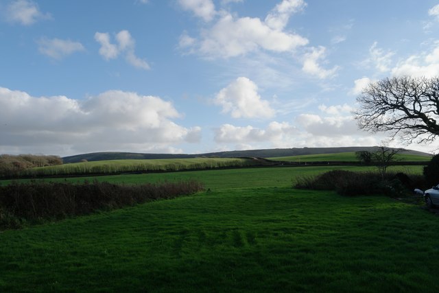
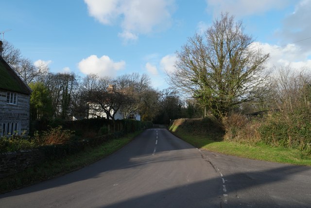
Clay Pit Plantation is a vast woodland located in the county of Dorset, England. Situated in the heart of the county, the plantation covers an area of approximately 500 acres, consisting mainly of dense forests and woodland areas. It is a popular destination for nature lovers and outdoor enthusiasts, offering a variety of activities and beautiful scenery.
The woodland in Clay Pit Plantation is primarily composed of oak, beech, and pine trees, creating a diverse and vibrant ecosystem. The trees provide a habitat for numerous wildlife species, including deer, foxes, and a variety of bird species, making it an ideal spot for wildlife enthusiasts and birdwatchers.
Walking trails wind through the plantation, allowing visitors to explore the area and appreciate the natural beauty of the surroundings. The trails are well-maintained and offer different levels of difficulty, catering to both casual strollers and more experienced hikers.
In addition to its natural attractions, Clay Pit Plantation also houses a clay pit, which was historically used for the extraction of clay for pottery. This adds a historical element to the area, showcasing its industrial past.
The plantation is open to the public year-round, providing a peaceful escape from the hustle and bustle of city life. It offers ample parking facilities and amenities, including picnic areas and restroom facilities, ensuring a comfortable and enjoyable visit for all. Whether you are seeking a leisurely stroll, a birdwatching adventure, or a picnic with family and friends, Clay Pit Plantation is a must-visit destination for nature lovers in Dorset.
If you have any feedback on the listing, please let us know in the comments section below.
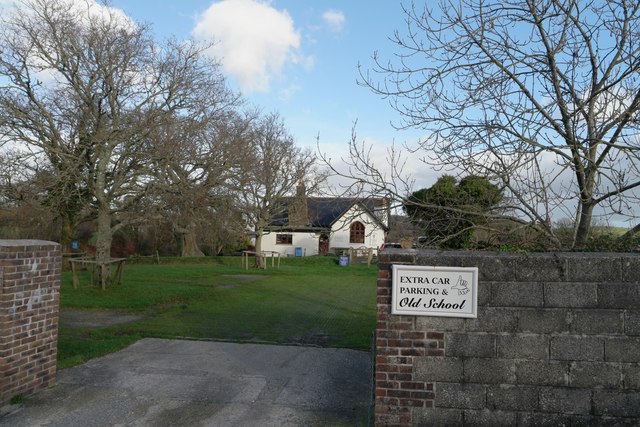
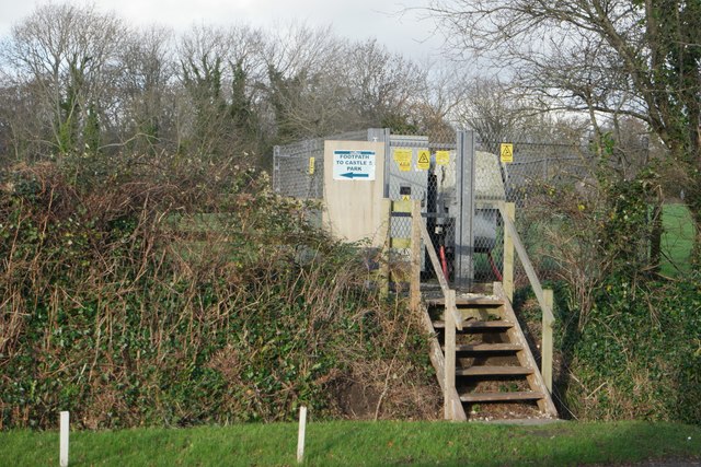
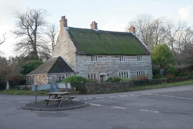
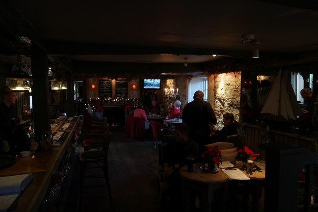
Clay Pit Plantation Images
Images are sourced within 2km of 50.643141/-2.1947896 or Grid Reference SY8682. Thanks to Geograph Open Source API. All images are credited.


Clay Pit Plantation is located at Grid Ref: SY8682 (Lat: 50.643141, Lng: -2.1947896)
Unitary Authority: Dorset
Police Authority: Dorset
What 3 Words
///replays.somebody.engraving. Near Wool, Dorset
Nearby Locations
Related Wikis

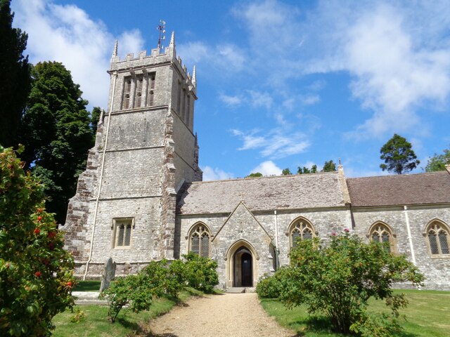
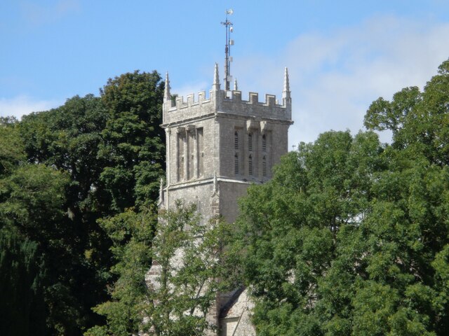
East Lulworth
East Lulworth is a village and civil parish nine miles east of Dorchester, near Lulworth Cove, in the county of Dorset, South West England. It consists...

Bestival
Bestival was a four-day music festival held in the south of England. The name Bestival is a portmanteau of the words best and festival. It had been held...
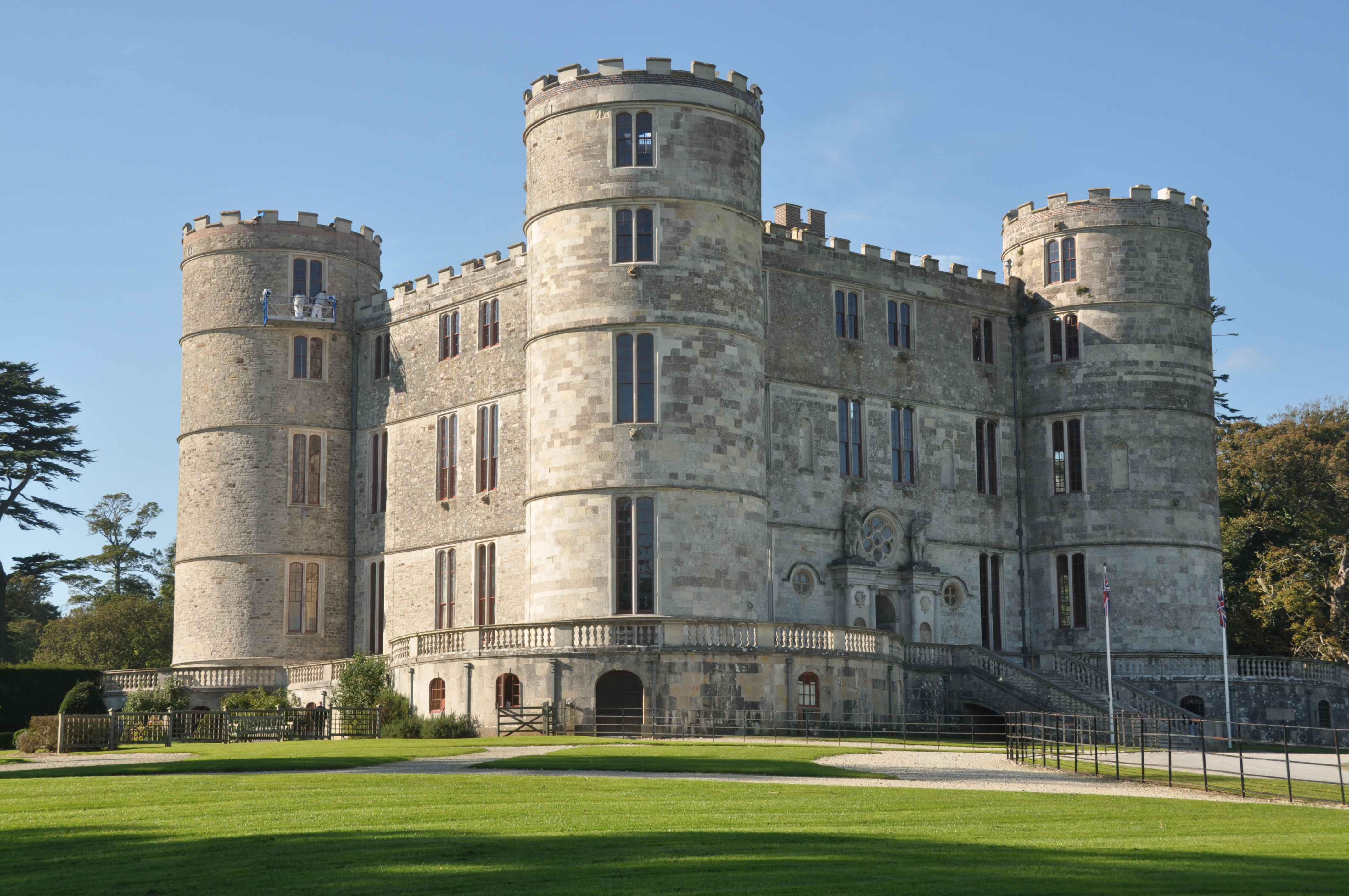
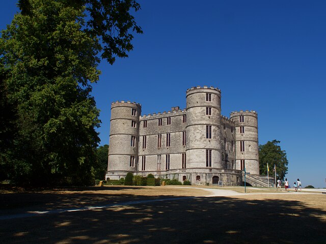
Lulworth Castle
Lulworth Castle, in East Lulworth, Dorset, England, situated south of the village of Wool, is an early 17th-century hunting lodge erected in the style...

Lulworth Estate
The Lulworth Estate is a country estate located in central south Dorset, England. Its most notable landscape feature is a five-mile stretch of coastline...
Nearby Amenities
Located within 500m of 50.643141,-2.1947896Have you been to Clay Pit Plantation?
Leave your review of Clay Pit Plantation below (or comments, questions and feedback).