Ball Coppice
Wood, Forest in Dorset
England
Ball Coppice
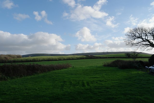
Ball Coppice is a picturesque woodland located in the county of Dorset, England. Spanning approximately 40 acres, it is situated near the village of Bere Regis, nestled amidst the rolling hills and lush countryside that characterizes the region.
The coppice itself is predominantly composed of native broadleaf trees, including oak, ash, and beech, which create a dense canopy overhead. This creates a tranquil and shaded environment, perfect for leisurely walks and nature exploration. The woodland floor is adorned with a rich tapestry of wildflowers, ferns, and mosses, adding to its natural beauty.
Ball Coppice is a haven for wildlife, providing a habitat for a diverse range of species. Bird enthusiasts will delight in the opportunity to spot woodland birds such as woodpeckers, nuthatches, and owls. The woodland is also home to various mammals, including badgers, foxes, and deer, which can occasionally be glimpsed among the trees.
The woodland is well-maintained, with designated footpaths and trails that allow visitors to explore the area at their own pace. A small stream meanders through the coppice, adding to the serenity of the surroundings. There are also picnic areas and benches strategically placed throughout the woodland, allowing visitors to relax and enjoy the peaceful ambiance.
Ball Coppice is a popular destination for nature lovers, hikers, and families seeking a tranquil escape from the bustling city life. Its natural beauty, diverse wildlife, and well-preserved environment make it a cherished gem in the heart of Dorset.
If you have any feedback on the listing, please let us know in the comments section below.
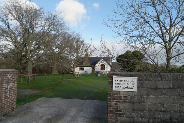
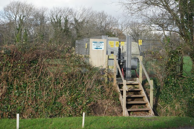
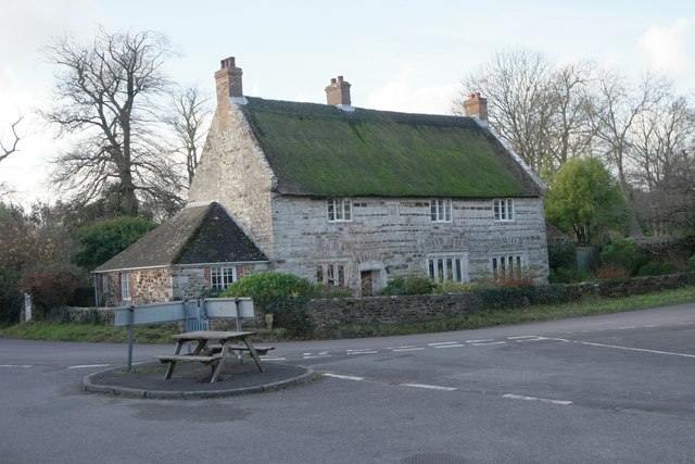
Ball Coppice Images
Images are sourced within 2km of 50.63806/-2.194514 or Grid Reference SY8682. Thanks to Geograph Open Source API. All images are credited.


Ball Coppice is located at Grid Ref: SY8682 (Lat: 50.63806, Lng: -2.194514)
Unitary Authority: Dorset
Police Authority: Dorset
What 3 Words
///crusaders.swordfish.workshops. Near Wool, Dorset
Nearby Locations
Related Wikis

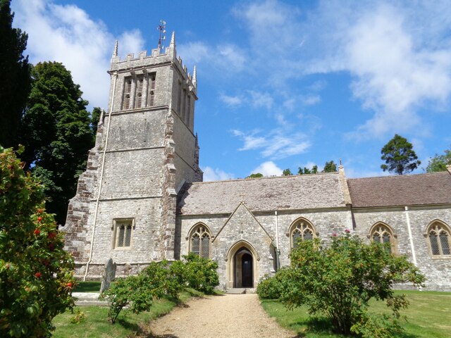
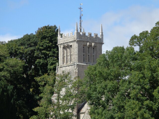
East Lulworth
East Lulworth is a village and civil parish nine miles east of Dorchester, near Lulworth Cove, in the county of Dorset, South West England. It consists...

Lulworth Abbey
Lulworth Abbey was a Trappist monastery at East Lulworth in Dorset, England, established as a priory in 1796 by Thomas Weld for refugee French Trappist...
Bestival
Bestival was a four-day music festival held in the south of England. The name Bestival is a portmanteau of the words best and festival. It had been held...
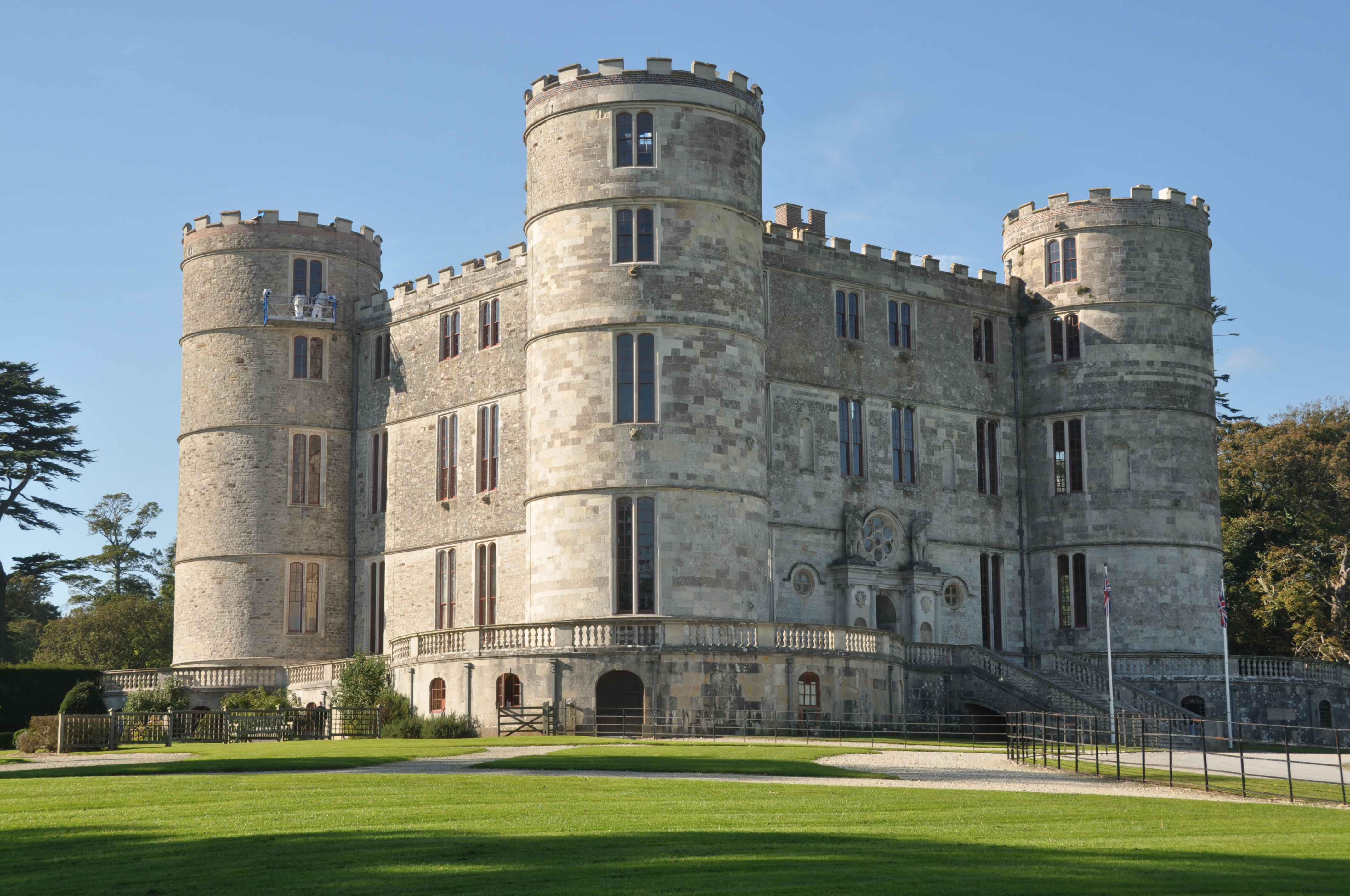
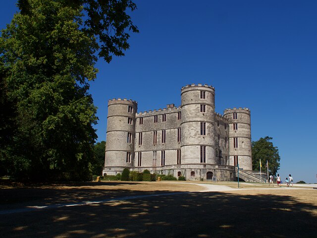
Lulworth Castle
Lulworth Castle, in East Lulworth, Dorset, England, situated south of the village of Wool, is an early 17th-century hunting lodge erected in the style...

Lulworth Estate
The Lulworth Estate is a country estate located in central south Dorset, England. Its most notable landscape feature is a five-mile stretch of coastline...
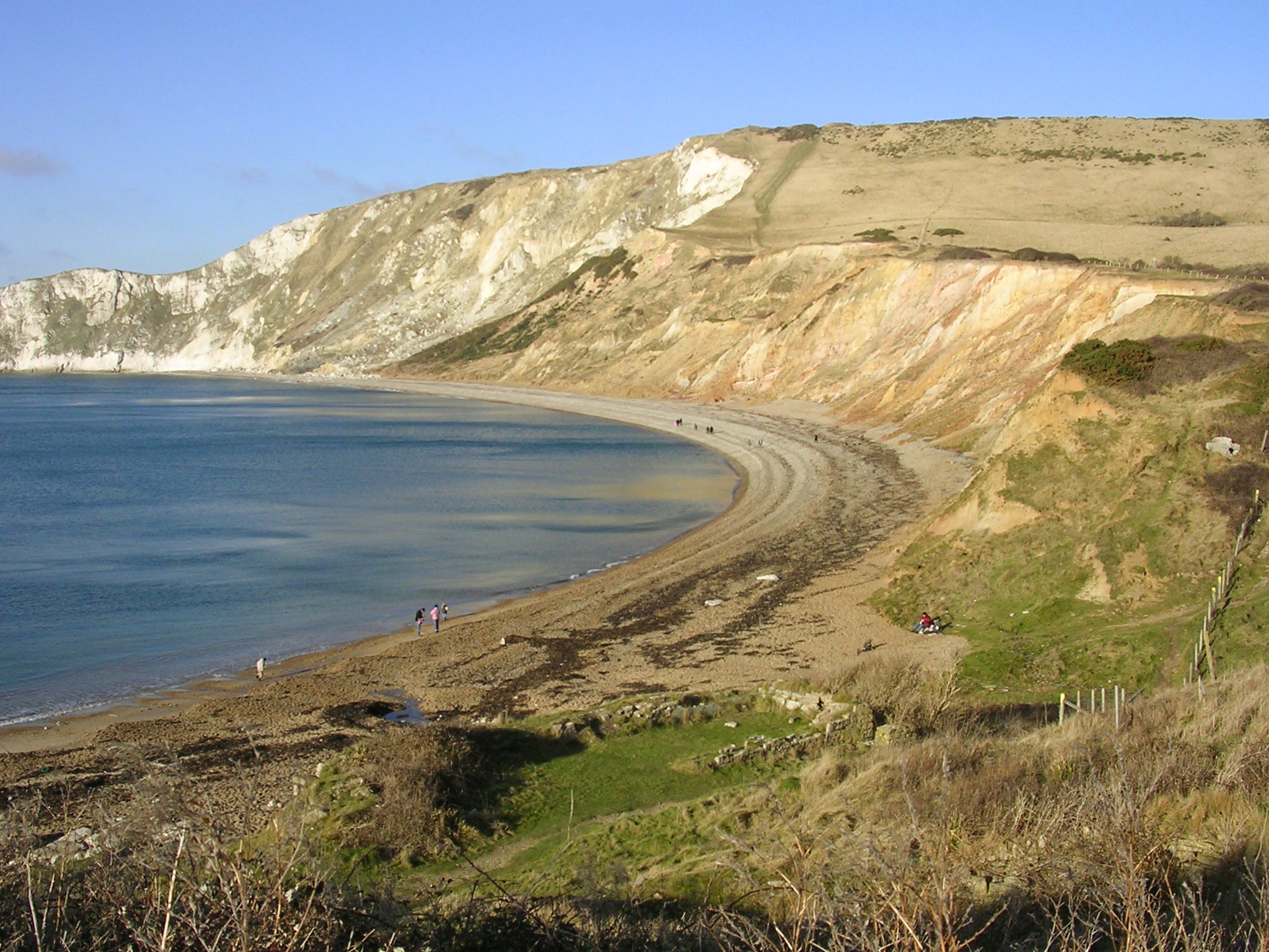
Flower's Barrow
Flower’s Barrow is an Iron Age hillfort, built over 2500 years ago, above Worbarrow Bay in Dorset on the south coast of England. == Location == Flower...

Cow Corner
Cow Corner is the north-western end of Worbarrow Bay, a small secluded bay on the south coast of the Isle of Purbeck in Dorset, England. == Location... ==

Lulworth Ranges
The Lulworth Ranges are military firing ranges located between Wareham and Lulworth in Dorset, England. They cover an area of more than 2,830 hectares...
Nearby Amenities
Located within 500m of 50.63806,-2.194514Have you been to Ball Coppice?
Leave your review of Ball Coppice below (or comments, questions and feedback).