Pasturehill Wood

Wood, Forest in Northumberland

England

Pasturehill Wood

Minor road heading south from Haydon towards Haydon Bridge Ordnance Survey records indicate that a benchmark levelled at 117.689m above Newlyn Datum was verified in 1954 on a wall at the left hand side of the road at this location
Minor road heading south from Haydon towards Haydon Bridge Credit: Roger Templeman

Pasturehill Wood is a picturesque woodland located in Northumberland, England. Covering an area of approximately 50 acres, this enchanting forest is known for its natural beauty and diverse ecosystem.

The wood is predominantly made up of broadleaf trees, including oak, beech, and ash. These towering trees create a dense canopy, casting a gentle shade over the forest floor. The woodland is crisscrossed by a network of well-maintained footpaths, allowing visitors to explore its various nooks and crannies.

Pasturehill Wood is home to a rich array of wildlife, making it a haven for nature lovers and wildlife enthusiasts. The forest provides a habitat for numerous bird species, including woodpeckers, nuthatches, and tawny owls. It is not uncommon to spot deer grazing among the trees, adding to the tranquil atmosphere of the wood.

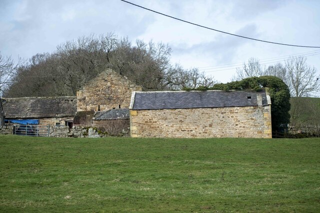
In addition to its natural wonders, Pasturehill Wood holds historical significance. The wood was once part of a larger estate and has remnants of ancient boundary walls and stone structures, hinting at its past use. This historical charm adds a sense of mystery and intrigue to the woodland.

Whether it's a leisurely stroll, a bird-watching expedition, or simply a chance to soak in the peaceful atmosphere, Pasturehill Wood offers a truly enchanting experience for visitors of all ages.

If you have any feedback on the listing, please let us know in the comments section below.

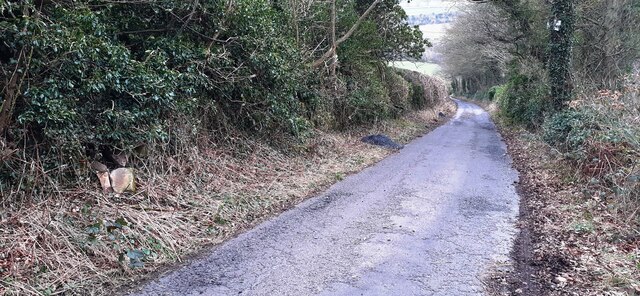
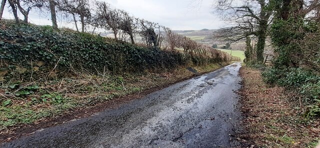
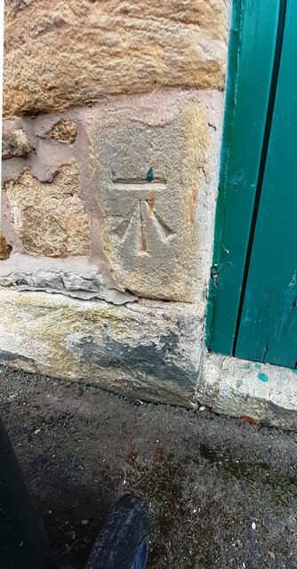
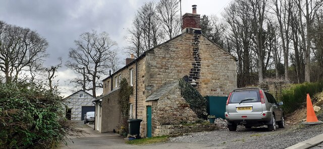
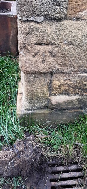
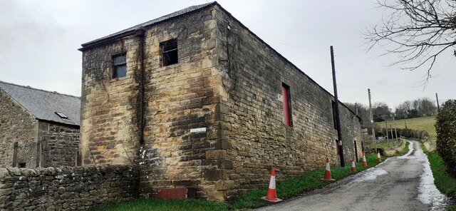
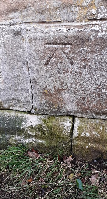
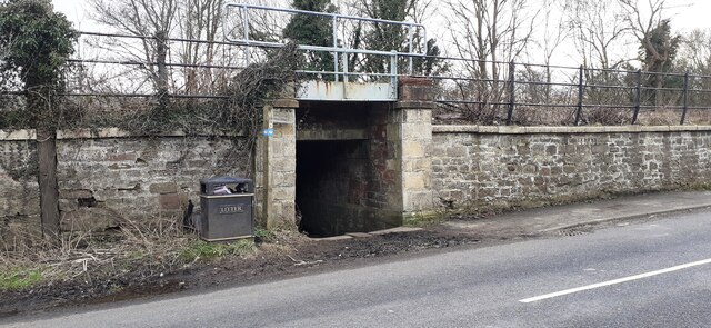
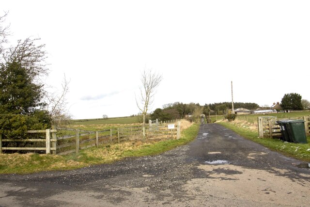
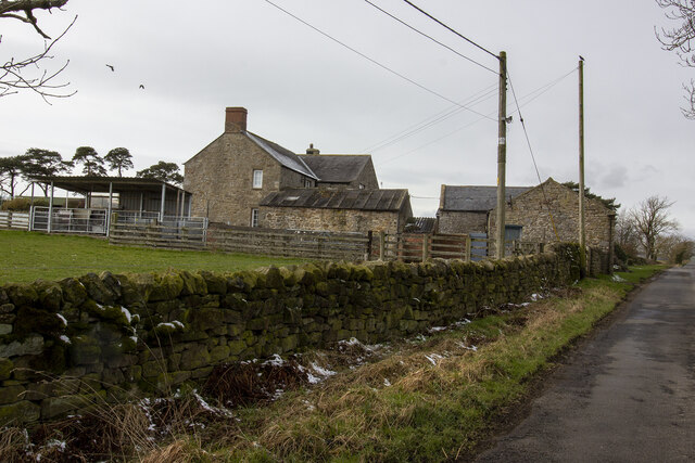
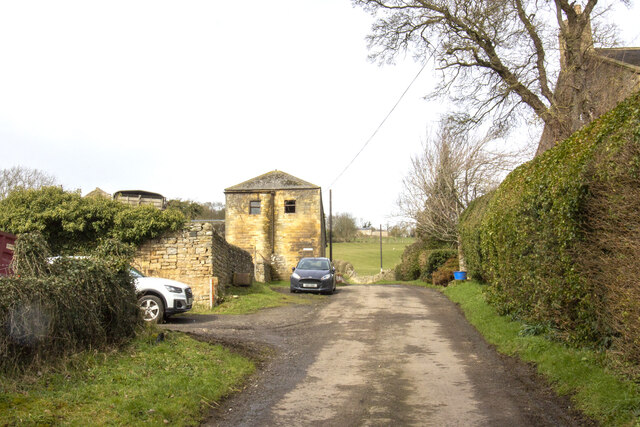
Pasturehill Wood Images

Images are sourced within 2km of 54.972792/-2.2149549 or Grid Reference NY8664. Thanks to Geograph Open Source API. All images are credited.

Minor road heading south from Haydon towards Haydon Bridge Ordnance Survey records indicate that a benchmark levelled at 117.689m above Newlyn Datum was verified in 1954 on a wall at the left hand side of the road at this location
Minor road heading south from Haydon towards Haydon Bridge
Ordnance Survey records indicate that a benchmark levelled at 117.689m above Newlyn Datum was verified in 1954 on a wall at the left hand side of the road at this location
Minor road approaching West Mill Hills from the north Ordnance Survey records indicate that a benchmark levelled at 100.359m was verified in 1954 on a wall on the left hand side of the road at this location
Minor road approaching West Mill Hills from the north
Ordnance Survey records indicate that a benchmark levelled at 100.359m was verified in 1954 on a wall on the left hand side of the road at this location
Benchmark on West Mill Hills Cottage Ordnance Survey cut mark benchmark levelled at 87.773m above Newlyn Datum verified 1954
Benchmark on West Mill Hills Cottage
Ordnance Survey cut mark benchmark levelled at 87.773m above Newlyn Datum verified 1954
West Mill Hills Cottage on west hand side of road There is an Ordnance Survey benchmark <a href="https://www.geograph.org.uk/photo/7116705">NY8464 : Benchmark on West Mill Hills Cottage</a> on the left hand side of the house on the far side of the green door beside the wheelie bin
West Mill Hills Cottage on west hand side of road
There is an Ordnance Survey benchmark NY8464 : Benchmark on West Mill Hills Cottage on the left hand side of the house on the far side of the green door beside the wheelie bin
Benchmark on farm building on west side of road at West Mill Hills Ordnance Survey cut mark benchmark levelled at 72.616m above Newlyn Datum verified 1954
Benchmark on farm building on west side of road at West Mill Hills
Ordnance Survey cut mark benchmark levelled at 72.616m above Newlyn Datum verified 1954
Farm building on west side of minor road at West Mill Hills There is an Ordnance Survey benchmark <a href="https://www.geograph.org.uk/photo/7116730">NY8464 : Benchmark on farm building on west side of road at West Mill Hills</a> on the near corner, road face, of the barn
Farm building on west side of minor road at West Mill Hills
There is an Ordnance Survey benchmark NY8464 : Benchmark on farm building on west side of road at West Mill Hills on the near corner, road face, of the barn
Benchmark on roadside wall right of subway entrance on SE side of Station Road Ordnance Survey cut mark benchmark levelled at 62.258m above Newlyn Datum verified in 1954
Benchmark on roadside wall right of subway entrance on SE side of Station Road
Ordnance Survey cut mark benchmark levelled at 62.258m above Newlyn Datum verified in 1954
Subway under railway line on SE side of Station Road (B6319) There is an Ordnance Survey benchmark <a href="https://www.geograph.org.uk/photo/7116739">NY8464 : Benchmark on roadside wall right of subway entrance on SE side of Station Road</a> on the wall pier on the right hand side of the subway entrance tunnel which takes a footpath under the Carlisle to Newcastle railway to the side of the South Tyne
Subway under railway line on SE side of Station Road (B6319)
There is an Ordnance Survey benchmark NY8464 : Benchmark on roadside wall right of subway entrance on SE side of Station Road on the wall pier on the right hand side of the subway entrance tunnel which takes a footpath under the Carlisle to Newcastle railway to the side of the South Tyne
Shaftoe Terrace, Haydon Bridge A group of almshouses built by the Greenwich Hospital Commissioners in c.1805.
Shaftoe Terrace, Haydon Bridge
A group of almshouses built by the Greenwich Hospital Commissioners in c.1805.
Junction of John Martin Street, Haydon Bridge Showing houses of Wittis Row.
Junction of John Martin Street, Haydon Bridge
Showing houses of Wittis Row.
River South Tyne at Old Haydon Bridge The old six-arched stone bridge in Haydon Bridge was constructed in 1776 but was partly rebuilt following later collapses. A new concrete bridge to its east (from where this photo was taken) which took the A69 main road across the river was opened in 1970 although that route now bypasses the town on the south side of the river. The old bridge has been restored for pedestrian use and is Grade 2 listed.
River South Tyne at Old Haydon Bridge
The old six-arched stone bridge in Haydon Bridge was constructed in 1776 but was partly rebuilt following later collapses. A new concrete bridge to its east (from where this photo was taken) which took the A69 main road across the river was opened in 1970 although that route now bypasses the town on the south side of the river. The old bridge has been restored for pedestrian use and is Grade 2 listed.
Oddfellows Hall, Shaftoe Street, Haydon Bridge The Oddfellows Hall opened in 1869. It is currently a coffee shop.
Oddfellows Hall, Shaftoe Street, Haydon Bridge
The Oddfellows Hall opened in 1869. It is currently a coffee shop.
The Anchor Hotel, Haydon Bridge A Grade II listed hotel, pub and restaurant located on a picturesque riverside location on the banks of the River South Tyne.
The Anchor Hotel, Haydon Bridge
A Grade II listed hotel, pub and restaurant located on a picturesque riverside location on the banks of the River South Tyne.
Langhope Farm Farm track to Langhope Farm
Langhope Farm
Farm track to Langhope Farm
Lowes Fell Farm Vernacular farm buildings at Lowes Fell Farm
Lowes Fell Farm
Vernacular farm buildings at Lowes Fell Farm
Farm track to Wood Hall Farm
West Mill Hills Farm
West Brokenheugh Farm
Show me another place!

Pasturehill Wood is located at Grid Ref: NY8664 (Lat: 54.972792, Lng: -2.2149549)

Unitary Authority: Northumberland

Police Authority: Northumbria

What 3 Words

///professes.outermost.corkscrew. Near Haydon Bridge, Northumberland

Nearby Locations

Pasturehill Wood

Related Wikis

Elrington Halt railway station

Elrington Halt station is a closed stone-built railway station situated on a single-track branch railway line in Northumberland, England, that runs from...

Haydon Bridge

Haydon Bridge is a village in Northumberland, England, which had a population of 2,184 in the 2011 census. Its most distinctive features are the two bridges...

Haydon Bridge railway station

Haydon Bridge is a railway station on the Tyne Valley Line, which runs between Newcastle and Carlisle via Hexham. The station, situated 29 miles 68 chains...

Allerwash railway station

Allerwash railway station served the hamlet of Allerwash, Northumberland, England from 1836 to 1837 on the Newcastle and Carlisle Railway. == History... ==

Nearby Amenities

Located within 500m of 54.972792,-2.2149549
Power: pole
Lat/Long: 54.9745441/-2.2219437
Power: pole
Lat/Long: 54.9744102/-2.220203
Power: pole
Lat/Long: 54.974267/-2.2185749
Power: pole
Lat/Long: 54.9750606/-2.2160509
Power: pole
Lat/Long: 54.9754254/-2.214919
Power: pole
Lat/Long: 54.9749482/-2.2118533
Power: pole
Lat/Long: 54.9747342/-2.2102815
Power: pole
Lat/Long: 54.9743271/-2.2076985
The data included in this document is from www.openstreetmap.org. The data is made available under ODbL.

Have you been to Pasturehill Wood?

Leave your review of Pasturehill Wood below (or comments, questions and feedback).