Heath, Lower
Settlement in Cheshire
England
Heath, Lower
Heath is a small village located in the county of Cheshire, England. Situated in the district of Lower, it is known for its picturesque countryside and charming rural setting. With a population of around 500 residents, Heath offers a peaceful and close-knit community atmosphere.
The village is surrounded by lush green fields, rolling hills, and dense woodlands, making it ideal for nature lovers and outdoor enthusiasts. The nearby Cheshire countryside provides ample opportunities for walking, hiking, and cycling, with several well-maintained trails and paths to explore.
Heath is home to a few historic buildings, including the St. John the Evangelist Church, which dates back to the 13th century. The church's stunning architecture and peaceful grounds make it a popular spot for visitors and locals alike. The village also has a small primary school, providing education for local children.
Although Heath is primarily a residential area, there are a few amenities available to residents. These include a village hall, which hosts a range of community events and gatherings, and a local pub that serves traditional English food and beverages.
For more extensive services and amenities, the nearby town of Lower provides a wider range of shops, supermarkets, restaurants, and leisure facilities. Additionally, the city of Chester is just a short drive away, offering further opportunities for shopping, entertainment, and cultural experiences.
Overall, Heath, Lower, Cheshire offers a tranquil and picturesque setting, combined with a close-knit community spirit, making it an attractive place to live for those seeking a peaceful countryside lifestyle.
If you have any feedback on the listing, please let us know in the comments section below.
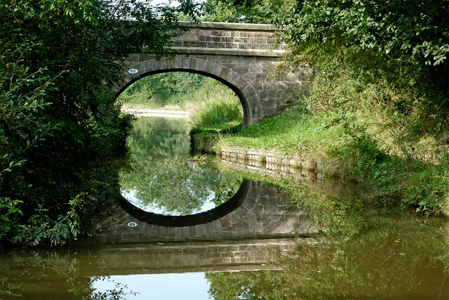
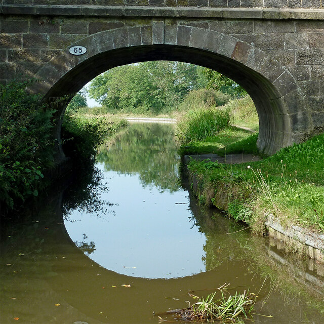
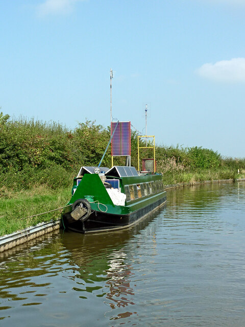
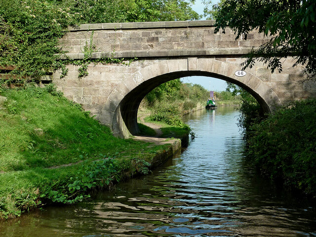
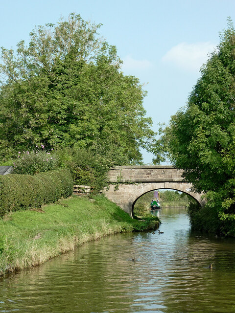
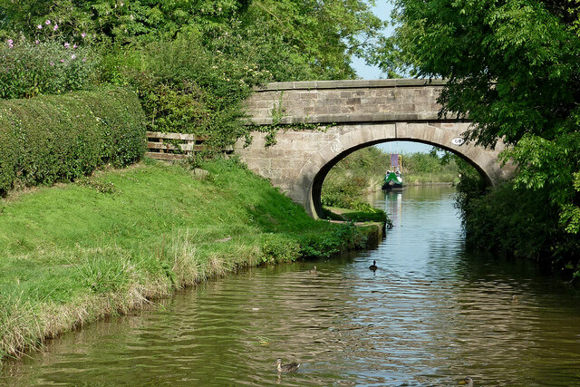
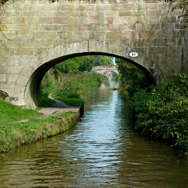
Heath, Lower Images
Images are sourced within 2km of 53.174262/-2.207925 or Grid Reference SJ8664. Thanks to Geograph Open Source API. All images are credited.


Heath, Lower is located at Grid Ref: SJ8664 (Lat: 53.174262, Lng: -2.207925)
Unitary Authority: Cheshire East
Police Authority: Cheshire
What 3 Words
///permit.feast.historic. Near Congleton, Cheshire
Nearby Locations
Related Wikis
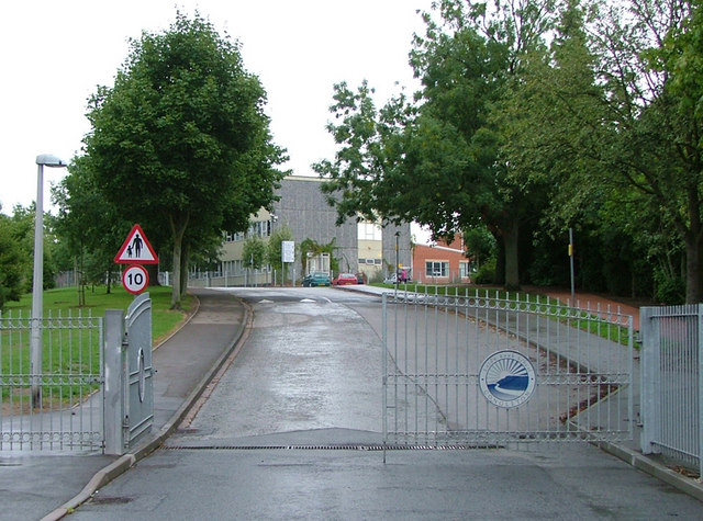
Eaton Bank Academy
Eaton Bank Academy (formerly Eaton Bank School) is a co-educational secondary school with academy status located in the town of Congleton in Cheshire,...

Congleton Park
Congleton Park is a public park in Congleton, in Cheshire, England. It is listed Grade II in Historic England's Register of Parks and Gardens, and the...

Havannah, Cheshire
Havannah near Congleton in Cheshire, England, is a former industrial and residential area and was at one time known as 'the deserted village'. It was established...

Buglawton
Buglawton is a suburb of Congleton, in the south-east of Cheshire. It was a parish and an urban district (i.e. effectively an independent town) from 1894...
Nearby Amenities
Located within 500m of 53.174262,-2.207925Have you been to Heath, Lower?
Leave your review of Heath, Lower below (or comments, questions and feedback).