Pinkney Wood

Wood, Forest in Wiltshire

England

Pinkney Wood

Sherston allotments A patch for the villagers to grow more.
Sherston allotments Credit: Neil Owen

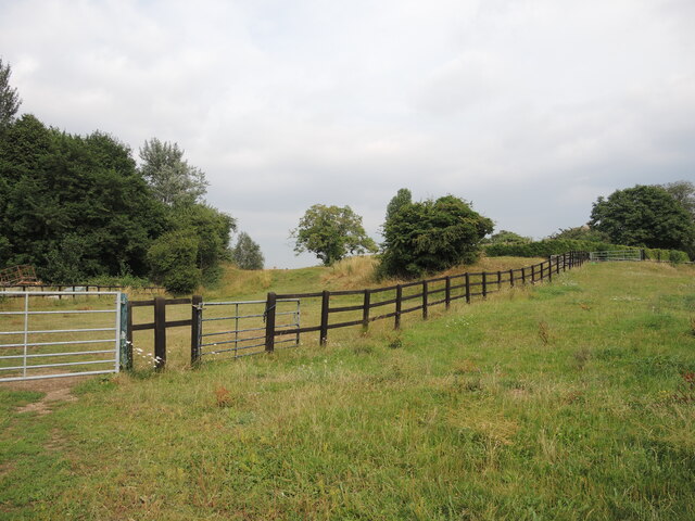
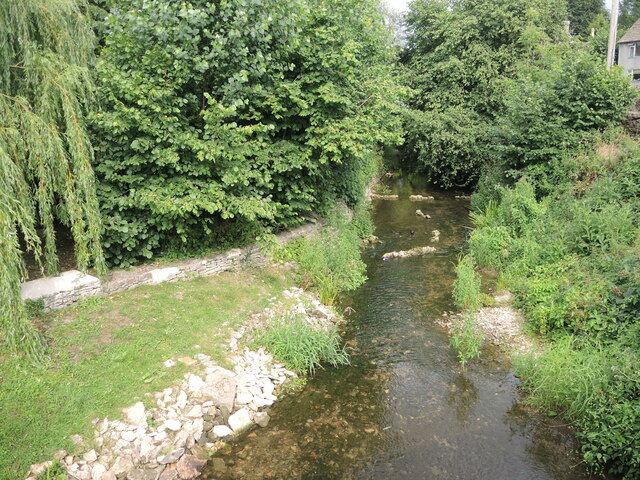
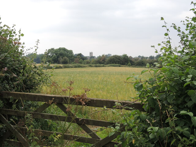
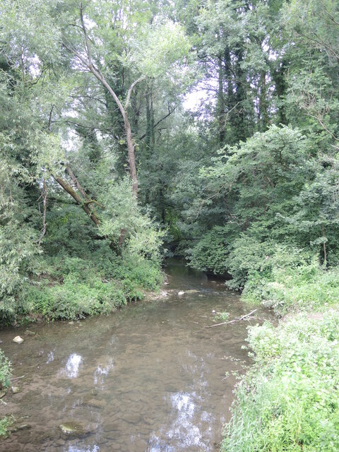
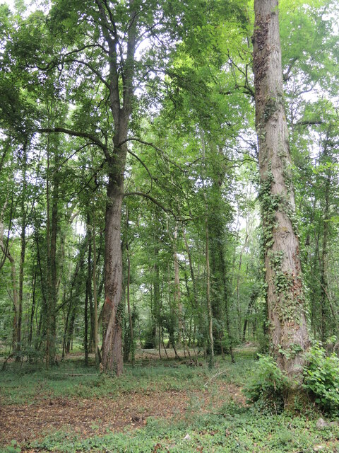
Pinkney Wood is a picturesque forest located in the county of Wiltshire, England. Spanning an area of approximately 120 hectares, it is nestled in the heart of the Cotswolds Area of Outstanding Natural Beauty, making it a popular destination for nature enthusiasts and hikers alike.

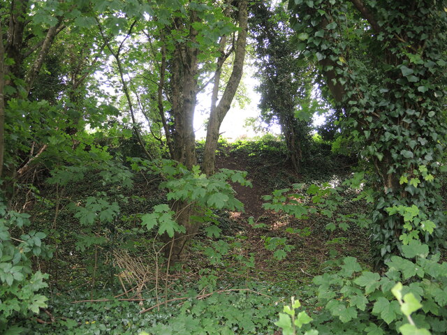
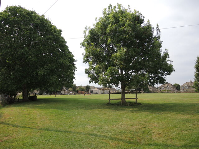
The woodland is predominantly composed of broadleaf trees, such as oak, beech, and ash, which create a dense canopy that provides shade and shelter for a variety of flora and fauna. It boasts a rich biodiversity, with numerous plant species thriving in its fertile soil, including bluebells, wild garlic, and wood anemones, which create a vibrant display of colors during the spring months.

Pinkney Wood is also home to a diverse range of wildlife. Visitors may spot deer, badgers, and foxes roaming freely amidst the trees. The forest is a haven for birdwatchers, as it attracts a plethora of avian species, including woodpeckers, owls, and various songbirds.

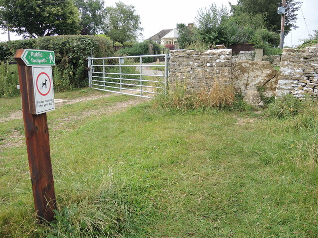
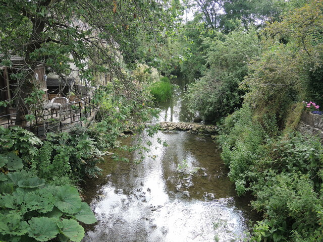
The wood features a network of well-maintained footpaths and trails, offering visitors the opportunity to explore its natural beauty at their own pace. A popular route is the Pinkney Wood Circular Walk, a 3-mile loop that takes hikers through the forest, across fields, and along the banks of the nearby River Avon.

With its tranquil atmosphere and stunning surroundings, Pinkney Wood is a cherished natural gem in Wiltshire, providing a serene escape for locals and tourists seeking solace in nature.

If you have any feedback on the listing, please let us know in the comments section below.

Pinkney Wood Images

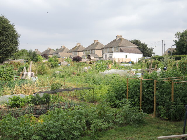
Images are sourced within 2km of 51.573652/-2.1988471 or Grid Reference ST8686. Thanks to Geograph Open Source API. All images are credited.

Sherston allotments A patch for the villagers to grow more.
Sherston allotments
A patch for the villagers to grow more.
Sherston school The village school, with a squirrel weathervane.
Sherston school
The village school, with a squirrel weathervane.
Sustainable Sherston A stall at the corner of the allotments show the results of some hard graft.
Sustainable Sherston
A stall at the corner of the allotments show the results of some hard graft.
Sherston reservoir To the west of the village is a covered reservoir, with a water tower-cum-mobile communications station.
Sherston reservoir
To the west of the village is a covered reservoir, with a water tower-cum-mobile communications station.
Sherston earthworks The pronounced earth embankment to the west of the village church is only partly enclosed and lies on the plateau close to the valley formed by the Sherston branch of the Avon. Fencing marks some of the line.

The village has a long history, and as it lies close to the Fosse Way it is not surprising there have been Roman finds. Indeed, there are a few flint arrowheads too, but the main records are of the Saxon era onwards.
Sherston earthworks
The pronounced earth embankment to the west of the village church is only partly enclosed and lies on the plateau close to the valley formed by the Sherston branch of the Avon. Fencing marks some of the line. The village has a long history, and as it lies close to the Fosse Way it is not surprising there have been Roman finds. Indeed, there are a few flint arrowheads too, but the main records are of the Saxon era onwards.
A path past the earthworks The footpath Sher22 leaves Sopworth Lane and goes past the ancient earthworks. It follows on to meet part of the Macmillan Way.
A path past the earthworks
The footpath Sher22 leaves Sopworth Lane and goes past the ancient earthworks. It follows on to meet part of the Macmillan Way.
A wall around Sherston? The ancient earthworks partly enclose a small area of land on the western edge of Sherston. It is mainly inaccessible but the embankment is clear from the road. Trees now proliferate.
A wall around Sherston?
The ancient earthworks partly enclose a small area of land on the western edge of Sherston. It is mainly inaccessible but the embankment is clear from the road. Trees now proliferate.
Pennymead: Sherston's recreation ground The village is well provided for with a large open field near the church. It now has modern play equipment for children after a successful grant from the National Lottery.
Pennymead: Sherston's recreation ground
The village is well provided for with a large open field near the church. It now has modern play equipment for children after a successful grant from the National Lottery.
Old hands at the game An inscribed stone records that the wall of the recreation ground was rebuilt in 1935 by three people, whose combined ages totalled 207 years!
Old hands at the game
An inscribed stone records that the wall of the recreation ground was rebuilt in 1935 by three people, whose combined ages totalled 207 years!
Sherston Congregational church Sherston has a small number of place to worship but this church in Cliff Road (previously Back Street) is an interesting one. It was originally a barn that was bought by a local farmer by the name of Cook. He rebuilt it as a licensed chapel with a vestry; it opened in October, 1825 , holding 200 parishioners.
Sherston Congregational church
Sherston has a small number of place to worship but this church in Cliff Road (previously Back Street) is an interesting one. It was originally a barn that was bought by a local farmer by the name of Cook. He rebuilt it as a licensed chapel with a vestry; it opened in October, 1825 , holding 200 parishioners.
A path down Tanners Hill A short but steep drop from Grove Road.
A path down Tanners Hill
A short but steep drop from Grove Road.
The Avon at the bottom of Tanners Hill The River Avon gathers a number of small streams, like the Shallow Brook, before running to the south of Sherston. Lining the banks are a few houses that make use of their backdrop.
The Avon at the bottom of Tanners Hill
The River Avon gathers a number of small streams, like the Shallow Brook, before running to the south of Sherston. Lining the banks are a few houses that make use of their backdrop.
Off to meet a good neighbour The River Avon (Sherston branch) flows through the village and along the bottom of Tanners Hill. Further on at Malmesbury it will meet the River Avon (Tetbury branch), and then go on towards Bristol.
Off to meet a good neighbour
The River Avon (Sherston branch) flows through the village and along the bottom of Tanners Hill. Further on at Malmesbury it will meet the River Avon (Tetbury branch), and then go on towards Bristol.
Sherston beyond the fields From a field gate, the tower of the church of the Holy Cross can be seen in the distance.
Sherston beyond the fields
From a field gate, the tower of the church of the Holy Cross can be seen in the distance.
Overgrown at Forlorn Some minor farm buildings at the crossroads known as Forlorn. The road from Easton Town is the C27 and meets the Foxley Road.
Overgrown at Forlorn
Some minor farm buildings at the crossroads known as Forlorn. The road from Easton Town is the C27 and meets the Foxley Road.
Signpost at Easton Town The post bears some wooden arms which have individual plastic lettering, tacked on. However, the fractional mileage are separate cast metal affairs, probably a left-over from when the whole arm was cast.
Signpost at Easton Town
The post bears some wooden arms which have individual plastic lettering, tacked on. However, the fractional mileage are separate cast metal affairs, probably a left-over from when the whole arm was cast.
The Avon at Pinkney Wood The fledgling Avon begins to gather momentum from Easton Town and there will be weirs coming up soon.
The Avon at Pinkney Wood
The fledgling Avon begins to gather momentum from Easton Town and there will be weirs coming up soon.
Pinkney Wood A mixture of mature deciduous specimens.
Pinkney Wood
A mixture of mature deciduous specimens.
Show me another place!

Pinkney Wood is located at Grid Ref: ST8686 (Lat: 51.573652, Lng: -2.1988471)

Unitary Authority: Wiltshire

Police Authority: Wiltshire

What 3 Words

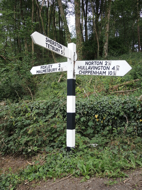
///officials.torch.whizzed. Near Sherston, Wiltshire

Related Wikis

Church of the Holy Cross, Sherston

The Church of the Holy Cross is the Grade I listed Anglican parish church in the village of Sherston, Wiltshire, England. It has Norman origins and contains...

Sherston, Wiltshire

Sherston is a village and civil parish about 5 miles (8 km) west of Malmesbury in Wiltshire, England. The parish is bounded to the north by the county...

Easton Grey

Easton Grey is a small village and civil parish in north Wiltshire, England, on the county boundary with Gloucestershire. The village lies just south of...

Norton, Wiltshire

Norton is a small village and civil parish in Wiltshire, England, about 3.5 miles (5.6 km) south-west of Malmesbury. The parish includes the hamlets of...

Nearby Amenities

Located within 500m of 51.573652,-2.1988471
Barrier: stile
Foot: yes
Material: wood
Stile: stepover
Lat/Long: 51.5728634/-2.2050445
Barrier: kissing_gate
Foot: yes
Lat/Long: 51.5733049/-2.2037281
The data included in this document is from www.openstreetmap.org. The data is made available under ODbL.

Have you been to Pinkney Wood?

Leave your review of Pinkney Wood below (or comments, questions and feedback).