Hazel Wood

Wood, Forest in Gloucestershire Cotswold

England

Hazel Wood

Forner coal merchant's building at Egypt Mill Now converted to provide accommodation for the Egypt Mill Hotel
Forner coal merchant's building at Egypt Mill Credit: Graham Hogg

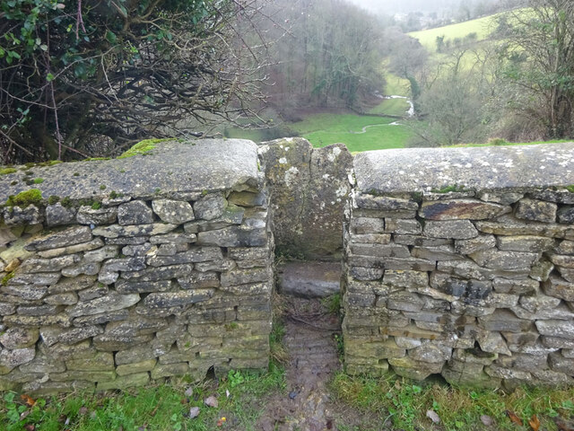
Hazel Wood is a picturesque forest located in the county of Gloucestershire, England. Spread across a vast area, it is known for its dense growth of hazel trees, which give the wood its name. The forest is a popular destination for nature lovers and outdoor enthusiasts due to its serene atmosphere and abundant wildlife.

Covered in a thick canopy of hazel trees, Hazel Wood offers a peaceful and tranquil setting for visitors to enjoy. The trees, with their distinctive catkins and heart-shaped leaves, create a beautiful and evergreen landscape that changes with the seasons. In spring, the wood comes alive with a burst of vibrant colors as wildflowers carpet the forest floor.

The wood is home to a diverse range of wildlife, making it an ideal spot for birdwatching and animal spotting. Woodpeckers, owls, and various songbirds can be seen and heard throughout the year, while deer, rabbits, and foxes are among the mammals that inhabit the forest.

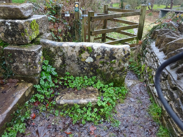
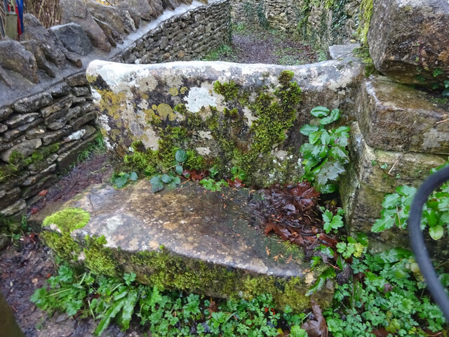
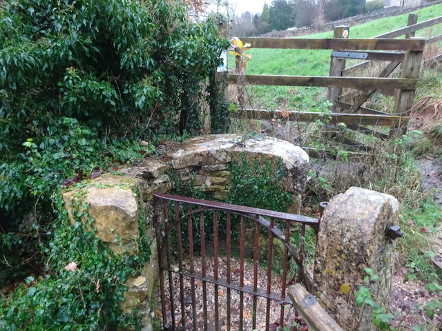
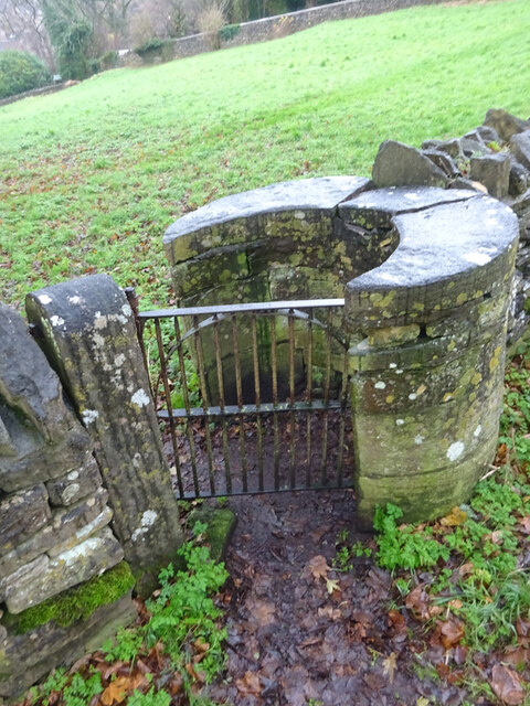
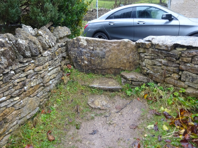
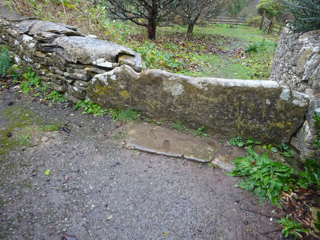
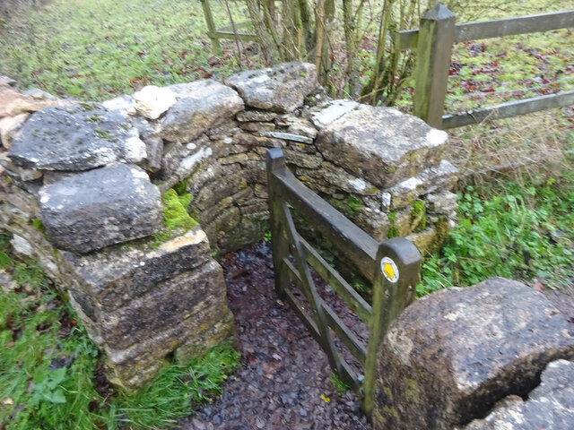
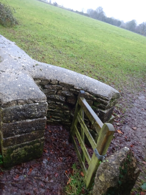
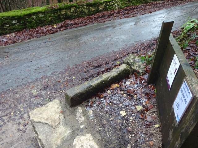
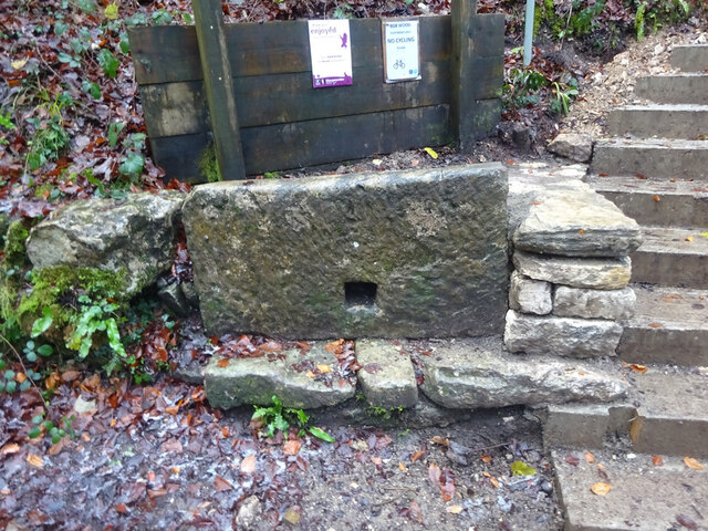
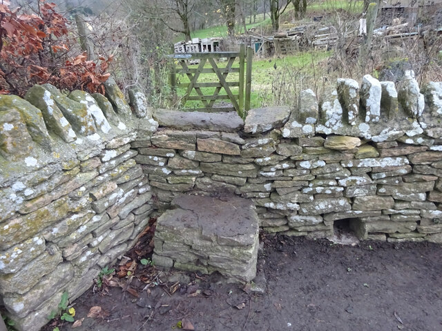
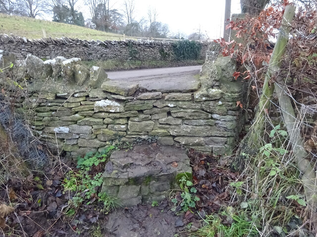
Hazel Wood offers a network of well-maintained walking trails, allowing visitors to explore the forest at their own pace. These trails wind through the wood, passing by ancient trees, moss-covered rocks, and babbling brooks. The wood is also a popular spot for picnics, with several designated areas offering scenic views and picnic tables.

Located in the heart of Gloucestershire, Hazel Wood is easily accessible by car and public transport. It provides a peaceful escape from the hustle and bustle of daily life, offering visitors a chance to connect with nature and enjoy the beauty of this enchanting forest.

If you have any feedback on the listing, please let us know in the comments section below.
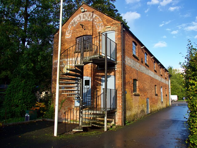
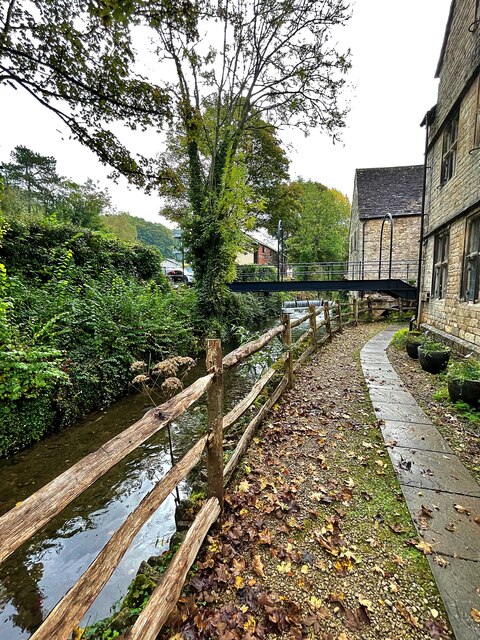
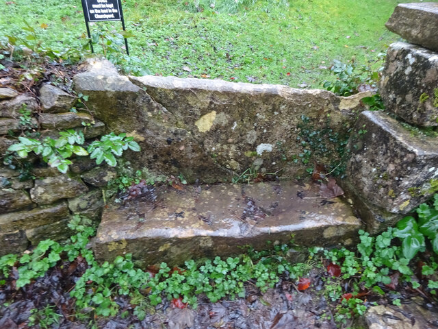
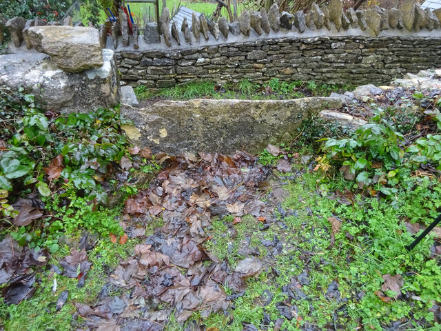
Hazel Wood Images

Images are sourced within 2km of 51.689378/-2.1994846 or Grid Reference ST8698. Thanks to Geograph Open Source API. All images are credited.

Forner coal merchant's building at Egypt Mill Now converted to provide accommodation for the Egypt Mill Hotel
Forner coal merchant's building at Egypt Mill
Now converted to provide accommodation for the Egypt Mill Hotel
Nailsworth Stream at Egypt Mill Hotel The hotel is a conversion of a former textile mill, one of many in the Nailsworth valley.
Nailsworth Stream at Egypt Mill Hotel
The hotel is a conversion of a former textile mill, one of many in the Nailsworth valley.
The Railway Hotel, Nailsworth The railway here closed in 1966 though passenger services were terminated in 1949 and the grade II listed hotel now provides luxury holiday apartments.
The Railway Hotel, Nailsworth
The railway here closed in 1966 though passenger services were terminated in 1949 and the grade II listed hotel now provides luxury holiday apartments.
Avening, churchyard wall Access to the footpath leading away from the village. This is the view looking in to the churchyard. The view looking in is <a href="https://www.geograph.org.uk/photo/7038277">ST8798 : Avening, churchyard wall</a>. It is adjacent to a stile along the footpath (see <a title="https://www.geograph.org.uk/photo/7038287" href="https://www.geograph.org.uk/photo/7038287">Link</a> & <a title="https://www.geograph.org.uk/photo/7038288" href="https://www.geograph.org.uk/photo/7038288">Link</a> )
Avening, churchyard wall
Access to the footpath leading away from the village. This is the view looking in to the churchyard. The view looking in is ST8798 : Avening, churchyard wall. It is adjacent to a stile along the footpath (see Link & Link )
Avening, churchyard wall Access to the footpath leading away from the village. This is the view from the churchyard. The view looking out is <a href="https://www.geograph.org.uk/photo/7038275">ST8798 : Avening, churchyard wall</a>. It is adjacent to a stile along the footpath (see <a title="https://www.geograph.org.uk/photo/7038287" href="https://www.geograph.org.uk/photo/7038287">Link</a> & <a title="https://www.geograph.org.uk/photo/7038288" href="https://www.geograph.org.uk/photo/7038288">Link</a> )
Avening, churchyard wall
Access to the footpath leading away from the village. This is the view from the churchyard. The view looking out is ST8798 : Avening, churchyard wall. It is adjacent to a stile along the footpath (see Link & Link )
Avening churchyard wall Footpath along the wall, this is looking away from the village. The view looking toward is <a href="https://www.geograph.org.uk/photo/7038288">ST8798 : Avening churchyard wall</a>. There is a stile into the churchyard is on the left (see <a title="https://www.geograph.org.uk/photo/7038277" href="https://www.geograph.org.uk/photo/7038277">Link</a> & <a title="https://www.geograph.org.uk/photo/7038275" href="https://www.geograph.org.uk/photo/7038275">Link</a> )
Avening churchyard wall
Footpath along the wall, this is looking away from the village. The view looking toward is ST8798 : Avening churchyard wall. There is a stile into the churchyard is on the left (see Link & Link )
Avening churchyard wall Footpath along the wall, this is looking towards the village. The view looking back is <a href="https://www.geograph.org.uk/photo/7038287">ST8798 : Avening churchyard wall</a>. There is a stile into the churchyard is on the right (see <a title="https://www.geograph.org.uk/photo/7038277" href="https://www.geograph.org.uk/photo/7038277">Link</a> & <a title="https://www.geograph.org.uk/photo/7038275" href="https://www.geograph.org.uk/photo/7038275">Link</a> )
Avening churchyard wall
Footpath along the wall, this is looking towards the village. The view looking back is ST8798 : Avening churchyard wall. There is a stile into the churchyard is on the right (see Link & Link )
Stone Kissing Gate, Avening Between fields South & above church, looking East, the view West is <a href="https://www.geograph.org.uk/photo/7406997">ST8797 : Stone Kissing Gate, Avening</a>. 
A similar gate nearby is <a href="https://www.geograph.org.uk/photo/7038307">ST8797 : Stone Kissing Gate, Avening</a>
Stone Kissing Gate, Avening
Between fields South & above church, looking East, the view West is ST8797 : Stone Kissing Gate, Avening. A similar gate nearby is ST8797 : Stone Kissing Gate, Avening
Stone Kissing Gate, Avening Gate between fields above the church, looking East, the view West is <a href="https://www.geograph.org.uk/photo/7406993">ST8797 : Stone Kissing Gate, Avening</a>,
near another gate <a href="https://www.geograph.org.uk/photo/7038302">ST8797 : Stone Kissing Gate, Avening</a>.
Stone Kissing Gate, Avening
Gate between fields above the church, looking East, the view West is ST8797 : Stone Kissing Gate, Avening, near another gate ST8797 : Stone Kissing Gate, Avening.
Stone Stile, Point Road In the village of Avening. This is the view from the field, the view looking back is <a href="https://www.geograph.org.uk/photo/7038315">ST8797 : Stone Stile, Point Road</a>.
Stone Stile, Point Road
In the village of Avening. This is the view from the field, the view looking back is ST8797 : Stone Stile, Point Road.
Stone Stile, Point Road In the village of Avening. This is the view from the road, the view looking to the field is <a href="https://www.geograph.org.uk/photo/7038314">ST8797 : Stone Stile, Point Road</a>.
Stone Stile, Point Road
In the village of Avening. This is the view from the road, the view looking to the field is ST8797 : Stone Stile, Point Road.
Stone Kissing Gate Leading from Box towards equine fields.
Stone Kissing Gate
Leading from Box towards equine fields.
Stone Kissing Gate Between fields on the equine establishment.
Stone Kissing Gate
Between fields on the equine establishment.
Stone Stile, Devil's Elbow As the footpath leaves Box Wood. The view from the road is <a href="https://www.geograph.org.uk/photo/7038355">ST8699 : Stone Stile, Devil's Elbow</a>.
Stone Stile, Devil's Elbow
As the footpath leaves Box Wood. The view from the road is ST8699 : Stone Stile, Devil's Elbow.
Stone Stile, Devil's Elbow As the footpath leaves Box Wood. The view from the footpath is <a href="https://www.geograph.org.uk/photo/7038353">ST8699 : Stone Stile, Devil's Elbow</a>.
Stone Stile, Devil's Elbow
As the footpath leaves Box Wood. The view from the footpath is ST8699 : Stone Stile, Devil's Elbow.
Stone Stile, Avening A step stile in the area known as West End. This is the view looking NE, the view looking SW is <a href="https://www.geograph.org.uk/photo/7048824">ST8797 : Stone Stile, Avening</a>.
Stone Stile, Avening
A step stile in the area known as West End. This is the view looking NE, the view looking SW is ST8797 : Stone Stile, Avening.
Stone Stile, Avening A step stile in the area known as West End. This is the view looking NE, the view looking SW is <a href="https://www.geograph.org.uk/photo/7048823">ST8797 : Stone Stile, Avening</a>.
Stone Stile, Avening
A step stile in the area known as West End. This is the view looking NE, the view looking SW is ST8797 : Stone Stile, Avening.
Stone Stile, Minchinhampton Looking South to a steep escarpment beyond. The view looking up is <a href="https://www.geograph.org.uk/photo/7057420">ST8799 : Stone Stile, Minchinhampton</a>. This Gloucestershire footpath (MMH101) leads all the way to Longfords Mill.
Stone Stile, Minchinhampton
Looking South to a steep escarpment beyond. The view looking up is ST8799 : Stone Stile, Minchinhampton. This Gloucestershire footpath (MMH101) leads all the way to Longfords Mill.
Show me another place!

Hazel Wood is located at Grid Ref: ST8698 (Lat: 51.689378, Lng: -2.1994846)

Administrative County: Gloucestershire

District: Cotswold

Police Authority: Gloucestershire

What 3 Words

///unheated.ashes.skis. Near Nailsworth, Gloucestershire

Nearby Locations

Oldfield Wood Hazel Wood

Related Wikis

Ball's Green

Ball's Green is a hamlet in Gloucestershire, England. == External links == StreetMap.co.uk

Box Farm Meadows SSSI

Box Farm Meadows (Stuart Fawkes reserve) (grid reference ST865997) is a 8.3-hectare (21-acre) biological Site of Special Scientific Interest in Gloucestershire...

Nailsworth Town Hall

Nailsworth Town Hall is a municipal building in Old Bristol Road in Nailsworth, Gloucestershire, England. The structure currently operates as the meeting...

Box, Gloucestershire

Box is a small village in Gloucestershire, England. It is in the civil parish of Minchinhampton, and is located 3 miles (4.8 km) south of Stroud and 10...

Egypt Mill

Egypt Mill is a Grade II* listed building and a former mill located in Nailsworth, a market town within the Stroud district of Gloucestershire, England...

Nailsworth railway station

Nailsworth railway station served the town of Nailsworth in Gloucestershire, England and was the terminus of the 9.3 km-long Stonehouse and Nailsworth...

Nailsworth

Nailsworth is a town and civil parish in the Stroud District in Gloucestershire, England, lying in one of the Stroud Valleys in the Cotswolds, on the A46...

Gatcombe Park

Gatcombe Park is the country residence of Anne, Princess Royal, between the villages of Minchinhampton (to which it belongs) and Avening in Gloucestershire...

Nearby Amenities

Located within 500m of 51.689378,-2.1994846
Traffic Signals
Lat/Long: 51.6912768/-2.1963924
Pub
Weighbridge Inn
Addr Postcode: GL6 9AL
Addr Street: Avening Road
Fhrs Id: 956421
Lat/Long: 51.692362/-2.2012953
Archaeological Site: tumulus
Historic: archaeological_site
Source: NPE
Lat/Long: 51.6870144/-2.2026883
Bus Stop
Weighbridge Inn
Bus: yes
Naptan AtcoCode: 1600GLS1109
Naptan Bearing: E
Naptan CommonName: Weighbridge Inn
Naptan Indicator: Opp
Naptan NaptanCode: glogjwdw
Naptan Street: Avening Rd
Naptan Verified: no
Public Transport: platform
Source: naptan_import
Lat/Long: 51.6925646/-2.201288
Bus Stop
Weighbridge Inn
Bus: yes
Naptan AtcoCode: 1600GLS1110
Naptan Bearing: W
Naptan CommonName: Weighbridge Inn
Naptan NaptanCode: glogjwga
Naptan Street: Avening Rd
Naptan Verified: no
Public Transport: platform
Source: naptan_import
Lat/Long: 51.6924748/-2.2012152
Barrier: cattle_grid
Lat/Long: 51.6935417/-2.2012512
The data included in this document is from www.openstreetmap.org. The data is made available under ODbL.

Have you been to Hazel Wood?

Leave your review of Hazel Wood below (or comments, questions and feedback).