Oldfield Wood

Wood, Forest in Gloucestershire Cotswold

England

Oldfield Wood

Forner coal merchant's building at Egypt Mill Now converted to provide accommodation for the Egypt Mill Hotel
Forner coal merchant's building at Egypt Mill Credit: Graham Hogg

Oldfield Wood is a picturesque forest located in Gloucestershire, a county in the southwest of England. Covering an area of approximately 100 acres, this ancient woodland is a haven of tranquility and natural beauty. It is situated near the village of Oldfield and is easily accessible via a network of footpaths and trails.

The wood is characterized by a rich diversity of trees, including oak, beech, ash, and silver birch. These towering trees create a dense canopy, casting dappled sunlight onto the forest floor below. The woodland is also home to a variety of wildlife, such as deer, foxes, badgers, and numerous species of birds.

Walking through Oldfield Wood, visitors can explore the winding pathways that meander through the trees, providing glimpses of hidden glades and secluded clearings. The forest is particularly enchanting in the spring, when wildflowers carpet the ground, and in the autumn, when the leaves change color, painting the wood in vibrant hues of red, orange, and gold.

The wood offers a peaceful retreat for nature lovers, providing opportunities for walking, birdwatching, and photography. It is also a popular destination for families, with picnic areas and designated play areas for children.

Oldfield Wood is managed by the local forestry commission, ensuring its preservation and conservation for future generations to enjoy. It serves as a valuable habitat for wildlife and a cherished recreational space for visitors seeking solace in nature's embrace.

If you have any feedback on the listing, please let us know in the comments section below.

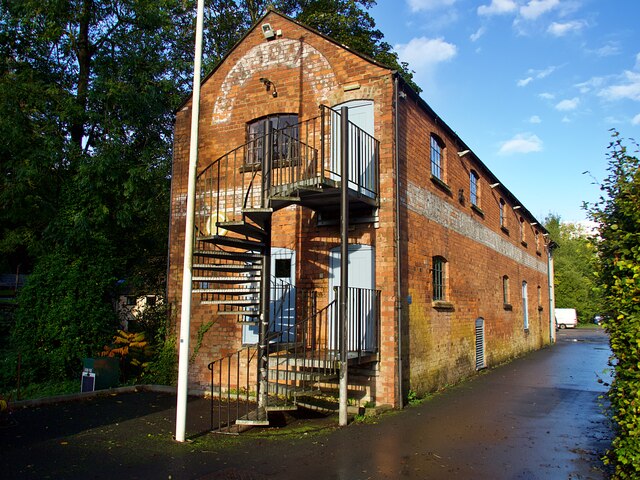
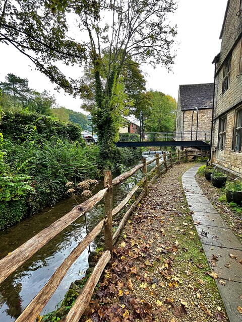
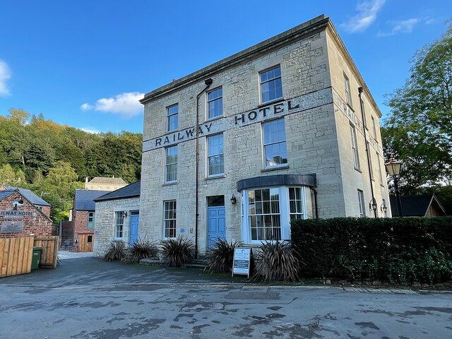
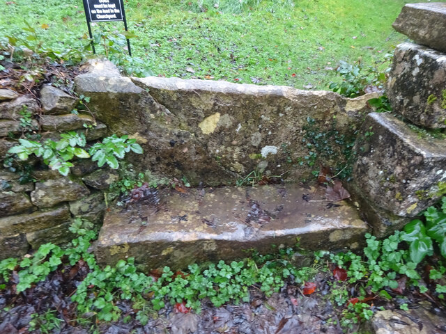
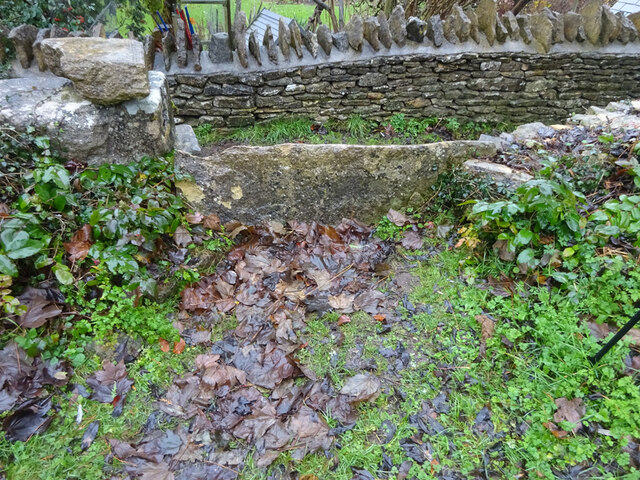
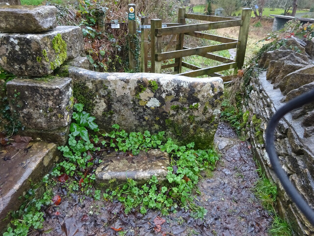
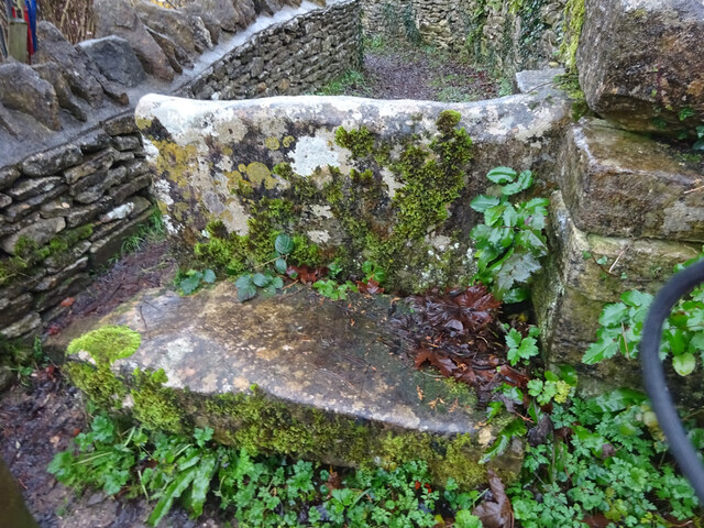
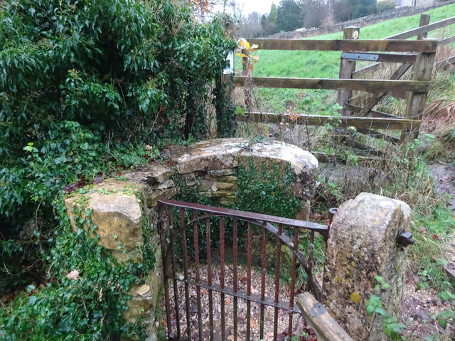
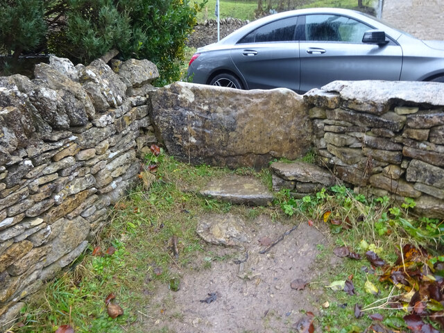
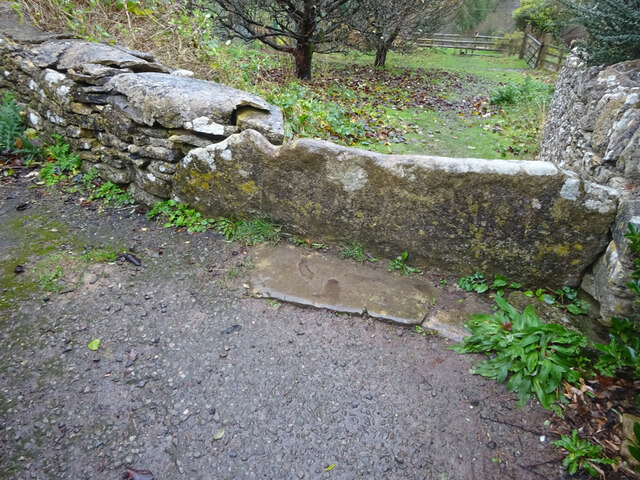
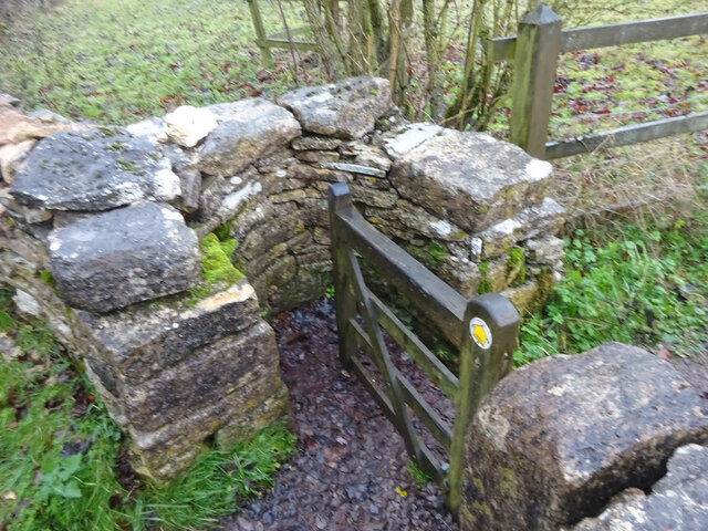
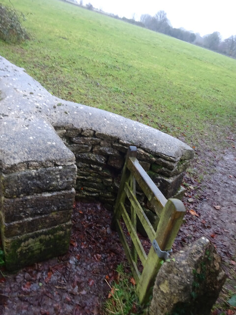
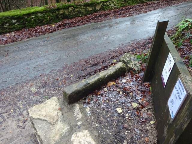
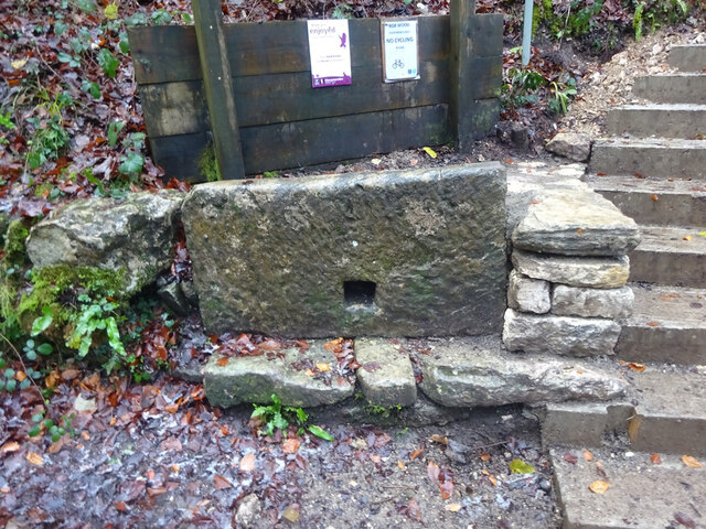
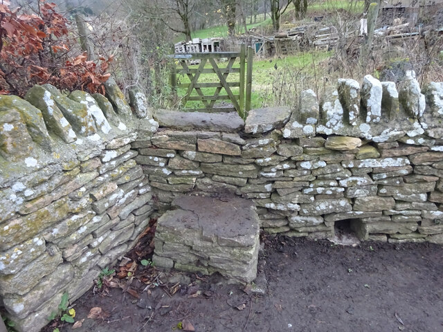
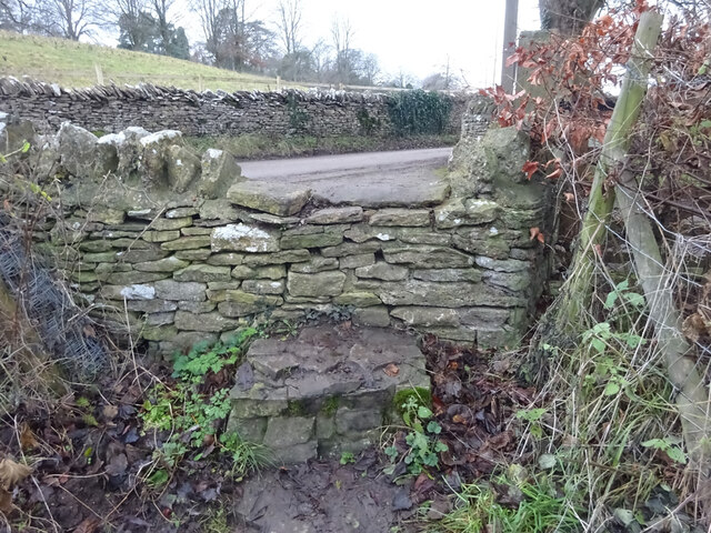
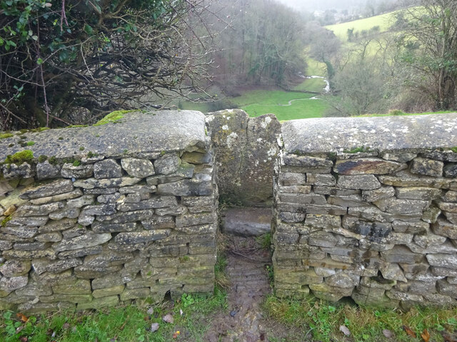
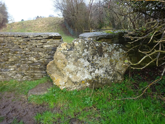
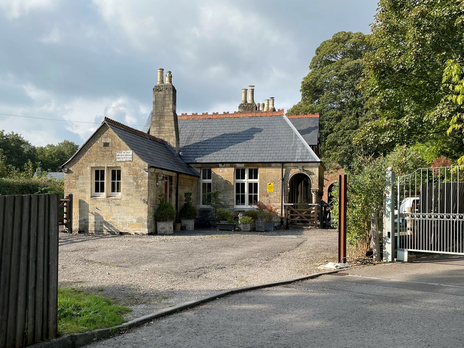
Oldfield Wood Images

Images are sourced within 2km of 51.685532/-2.2034311 or Grid Reference ST8698. Thanks to Geograph Open Source API. All images are credited.

Forner coal merchant's building at Egypt Mill Now converted to provide accommodation for the Egypt Mill Hotel
Forner coal merchant's building at Egypt Mill
Now converted to provide accommodation for the Egypt Mill Hotel
Nailsworth Stream at Egypt Mill Hotel The hotel is a conversion of a former textile mill, one of many in the Nailsworth valley.
Nailsworth Stream at Egypt Mill Hotel
The hotel is a conversion of a former textile mill, one of many in the Nailsworth valley.
The Railway Hotel, Nailsworth The railway here closed in 1966 though passenger services were terminated in 1949 and the grade II listed hotel now provides luxury holiday apartments.
The Railway Hotel, Nailsworth
The railway here closed in 1966 though passenger services were terminated in 1949 and the grade II listed hotel now provides luxury holiday apartments.
Avening, churchyard wall Access to the footpath leading away from the village. This is the view looking in to the churchyard. The view looking in is <a href="https://www.geograph.org.uk/photo/7038277">ST8798 : Avening, churchyard wall</a>. It is adjacent to a stile along the footpath (see <a title="https://www.geograph.org.uk/photo/7038287" href="https://www.geograph.org.uk/photo/7038287">Link</a> & <a title="https://www.geograph.org.uk/photo/7038288" href="https://www.geograph.org.uk/photo/7038288">Link</a> )
Avening, churchyard wall
Access to the footpath leading away from the village. This is the view looking in to the churchyard. The view looking in is ST8798 : Avening, churchyard wall. It is adjacent to a stile along the footpath (see Link & Link )
Avening, churchyard wall Access to the footpath leading away from the village. This is the view from the churchyard. The view looking out is <a href="https://www.geograph.org.uk/photo/7038275">ST8798 : Avening, churchyard wall</a>. It is adjacent to a stile along the footpath (see <a title="https://www.geograph.org.uk/photo/7038287" href="https://www.geograph.org.uk/photo/7038287">Link</a> & <a title="https://www.geograph.org.uk/photo/7038288" href="https://www.geograph.org.uk/photo/7038288">Link</a> )
Avening, churchyard wall
Access to the footpath leading away from the village. This is the view from the churchyard. The view looking out is ST8798 : Avening, churchyard wall. It is adjacent to a stile along the footpath (see Link & Link )
Avening churchyard wall Footpath along the wall, this is looking away from the village. The view looking toward is <a href="https://www.geograph.org.uk/photo/7038288">ST8798 : Avening churchyard wall</a>. There is a stile into the churchyard is on the left (see <a title="https://www.geograph.org.uk/photo/7038277" href="https://www.geograph.org.uk/photo/7038277">Link</a> & <a title="https://www.geograph.org.uk/photo/7038275" href="https://www.geograph.org.uk/photo/7038275">Link</a> )
Avening churchyard wall
Footpath along the wall, this is looking away from the village. The view looking toward is ST8798 : Avening churchyard wall. There is a stile into the churchyard is on the left (see Link & Link )
Avening churchyard wall Footpath along the wall, this is looking towards the village. The view looking back is <a href="https://www.geograph.org.uk/photo/7038287">ST8798 : Avening churchyard wall</a>. There is a stile into the churchyard is on the right (see <a title="https://www.geograph.org.uk/photo/7038277" href="https://www.geograph.org.uk/photo/7038277">Link</a> & <a title="https://www.geograph.org.uk/photo/7038275" href="https://www.geograph.org.uk/photo/7038275">Link</a> )
Avening churchyard wall
Footpath along the wall, this is looking towards the village. The view looking back is ST8798 : Avening churchyard wall. There is a stile into the churchyard is on the right (see Link & Link )
Stone Kissing Gate, Avening Between fields South & above church, looking East, the view West is <a href="https://www.geograph.org.uk/photo/7406997">ST8797 : Stone Kissing Gate, Avening</a>. 
A similar gate nearby is <a href="https://www.geograph.org.uk/photo/7038307">ST8797 : Stone Kissing Gate, Avening</a>
Stone Kissing Gate, Avening
Between fields South & above church, looking East, the view West is ST8797 : Stone Kissing Gate, Avening. A similar gate nearby is ST8797 : Stone Kissing Gate, Avening
Stone Stile, Point Road In the village of Avening. This is the view from the field, the view looking back is <a href="https://www.geograph.org.uk/photo/7038315">ST8797 : Stone Stile, Point Road</a>.
Stone Stile, Point Road
In the village of Avening. This is the view from the field, the view looking back is ST8797 : Stone Stile, Point Road.
Stone Stile, Point Road In the village of Avening. This is the view from the road, the view looking to the field is <a href="https://www.geograph.org.uk/photo/7038314">ST8797 : Stone Stile, Point Road</a>.
Stone Stile, Point Road
In the village of Avening. This is the view from the road, the view looking to the field is ST8797 : Stone Stile, Point Road.
Stone Kissing Gate Leading from Box towards equine fields.
Stone Kissing Gate
Leading from Box towards equine fields.
Stone Kissing Gate Between fields on the equine establishment.
Stone Kissing Gate
Between fields on the equine establishment.
Stone Stile, Devil's Elbow As the footpath leaves Box Wood. The view from the road is <a href="https://www.geograph.org.uk/photo/7038355">ST8699 : Stone Stile, Devil's Elbow</a>.
Stone Stile, Devil's Elbow
As the footpath leaves Box Wood. The view from the road is ST8699 : Stone Stile, Devil's Elbow.
Stone Stile, Devil's Elbow As the footpath leaves Box Wood. The view from the footpath is <a href="https://www.geograph.org.uk/photo/7038353">ST8699 : Stone Stile, Devil's Elbow</a>.
Stone Stile, Devil's Elbow
As the footpath leaves Box Wood. The view from the footpath is ST8699 : Stone Stile, Devil's Elbow.
Stone Stile, Avening A step stile in the area known as West End. This is the view looking NE, the view looking SW is <a href="https://www.geograph.org.uk/photo/7048824">ST8797 : Stone Stile, Avening</a>.
Stone Stile, Avening
A step stile in the area known as West End. This is the view looking NE, the view looking SW is ST8797 : Stone Stile, Avening.
Stone Stile, Avening A step stile in the area known as West End. This is the view looking NE, the view looking SW is <a href="https://www.geograph.org.uk/photo/7048823">ST8797 : Stone Stile, Avening</a>.
Stone Stile, Avening
A step stile in the area known as West End. This is the view looking NE, the view looking SW is ST8797 : Stone Stile, Avening.
Stone Stile, Minchinhampton Looking South to a steep escarpment beyond. The view looking up is <a href="https://www.geograph.org.uk/photo/7057420">ST8799 : Stone Stile, Minchinhampton</a>. This Gloucestershire footpath (MMH101) leads all the way to Longfords Mill.
Stone Stile, Minchinhampton
Looking South to a steep escarpment beyond. The view looking up is ST8799 : Stone Stile, Minchinhampton. This Gloucestershire footpath (MMH101) leads all the way to Longfords Mill.
Stone Stile, Minchinhampton Looking North with a steep escarpment to the rear. The view looking down is <a href="https://www.geograph.org.uk/photo/7057415">ST8799 : Stone Stile, Minchinhampton</a>. This Gloucestershire footpath (MMH101) leads all the way to Longfords Mill from Chapel Lane.
Stone Stile, Minchinhampton
Looking North with a steep escarpment to the rear. The view looking down is ST8799 : Stone Stile, Minchinhampton. This Gloucestershire footpath (MMH101) leads all the way to Longfords Mill from Chapel Lane.
Show me another place!

Oldfield Wood is located at Grid Ref: ST8698 (Lat: 51.685532, Lng: -2.2034311)

Administrative County: Gloucestershire

District: Cotswold

Police Authority: Gloucestershire

What 3 Words

///bottom.adjusting.funded. Near Nailsworth, Gloucestershire

Nearby Locations

Hazel Wood Oldfield Wood

Related Wikis

Ball's Green

Ball's Green is a hamlet in Gloucestershire, England. == External links == StreetMap.co.uk

Box Farm Meadows SSSI

Box Farm Meadows (Stuart Fawkes reserve) (grid reference ST865997) is a 8.3-hectare (21-acre) biological Site of Special Scientific Interest in Gloucestershire...

Nailsworth Town Hall

Nailsworth Town Hall is a municipal building in Old Bristol Road in Nailsworth, Gloucestershire, England. The structure currently operates as the meeting...

Barton End

Barton End is a village just south of Nailsworth, Gloucestershire, England.

Egypt Mill

Egypt Mill is a Grade II* listed building and a former mill located in Nailsworth, a market town within the Stroud district of Gloucestershire, England...

Box, Gloucestershire

Box is a small village in Gloucestershire, England. It is in the civil parish of Minchinhampton, and is located 3 miles (4.8 km) south of Stroud and 10...

Nailsworth

Nailsworth is a town and civil parish in the Stroud District in Gloucestershire, England, lying in one of the Stroud Valleys in the Cotswolds, on the A46...

Nailsworth railway station

Nailsworth railway station served the town of Nailsworth in Gloucestershire, England and was the terminus of the 9.3 km-long Stonehouse and Nailsworth...

Nearby Amenities

Located within 500m of 51.685532,-2.2034311
Barrier: stile
Lat/Long: 51.6842037/-2.2086793
Ele: 193.589722
Wpt Description: TR
Lat/Long: 51.6841664/-2.2086106
Archaeological Site: tumulus
Historic: archaeological_site
Source: NPE
Lat/Long: 51.6870144/-2.2026883
Barrier: stile
Material: wood
Stile: stepover
Lat/Long: 51.6819637/-2.2063324
Barrier: stile
Material: wood
Stile: stepover
Lat/Long: 51.6858123/-2.2067348
Natural: spring
Lat/Long: 51.6871642/-2.2089941
The data included in this document is from www.openstreetmap.org. The data is made available under ODbL.

Have you been to Oldfield Wood?

Leave your review of Oldfield Wood below (or comments, questions and feedback).