Cream Gorse
Wood, Forest in Wiltshire
England
Cream Gorse
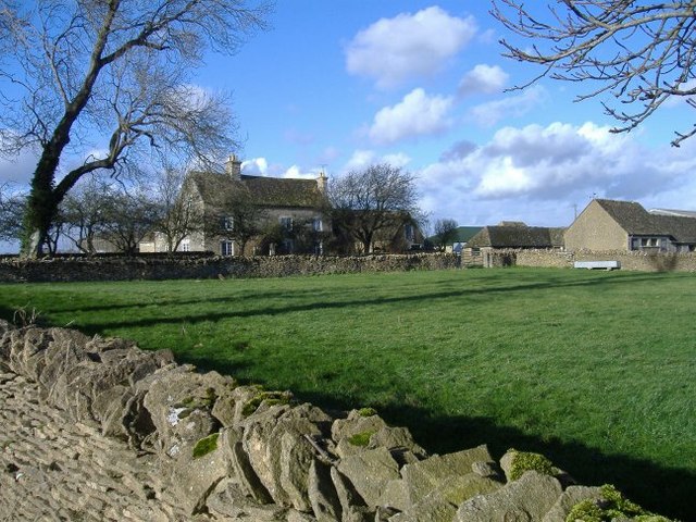
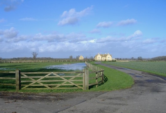
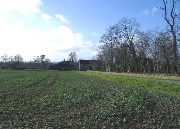
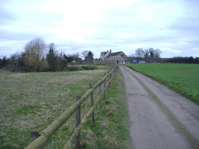
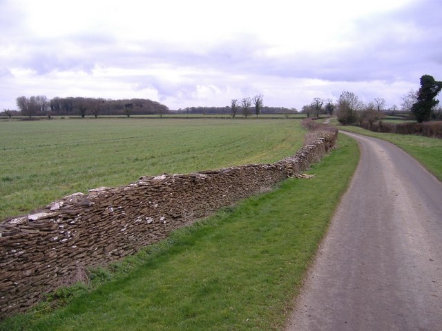
Cream Gorse is a picturesque woodland located in the county of Wiltshire, England. Covering an area of approximately 150 acres, it is a prominent and well-preserved example of a mixed deciduous forest. The woodland is situated near the village of Cream Gorse and is easily accessible from the nearby town of Marlborough.
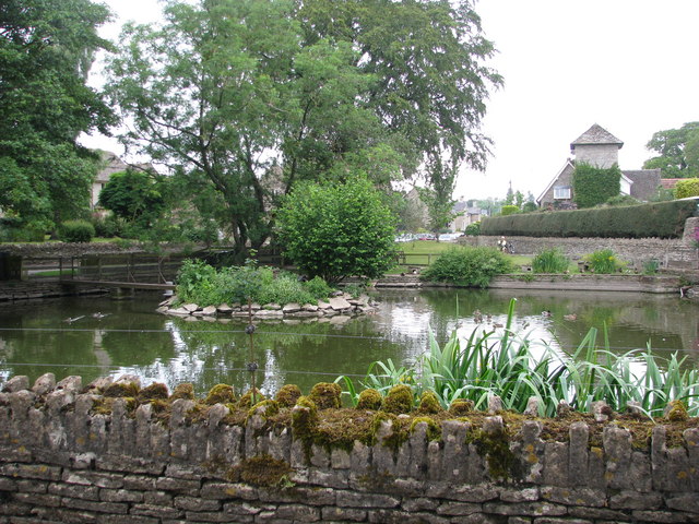
The landscape of Cream Gorse is characterized by a diverse range of flora and fauna, making it a haven for nature lovers and wildlife enthusiasts. The woodland is home to a variety of tree species, including oak, beech, ash, and birch, which create a rich and vibrant canopy throughout the year. Bluebells and wildflowers carpet the forest floor during the springtime, adding to its natural beauty.
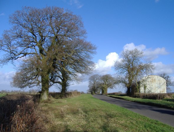
Several well-maintained walking trails wind their way through Cream Gorse, allowing visitors to explore and appreciate the woodland's tranquil atmosphere. These paths offer opportunities for leisurely strolls, jogging, or even picnicking amidst the serene surroundings. The woods are also popular with birdwatchers, as they provide a habitat for a diverse range of avian species, including woodpeckers, owls, and various songbirds.
In addition to its natural attractions, Cream Gorse offers a range of recreational activities. The woodland has designated areas for camping and picnicking, providing visitors with the opportunity to immerse themselves in the great outdoors. Educational workshops and guided nature walks are also organized throughout the year, offering visitors a chance to learn about the local ecosystem and its conservation efforts.
Overall, Cream Gorse is a stunning woodland that offers a peaceful retreat from the hustle and bustle of modern life. Its natural beauty, diverse wildlife, and range of recreational activities make it a cherished destination for both locals and tourists alike.
If you have any feedback on the listing, please let us know in the comments section below.
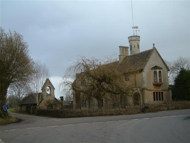
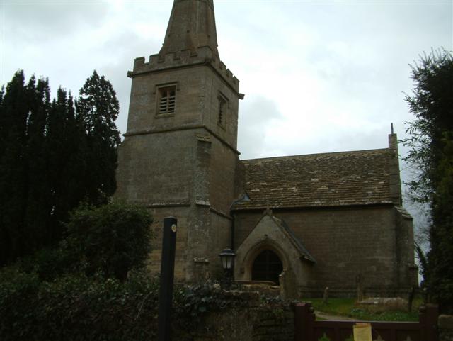
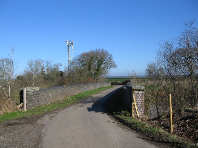
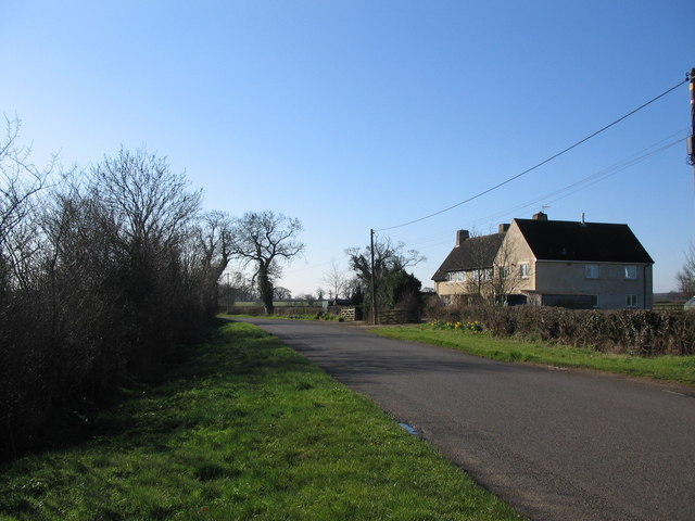
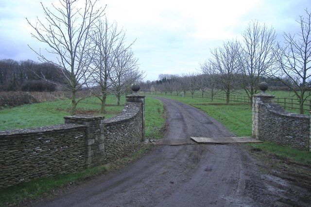
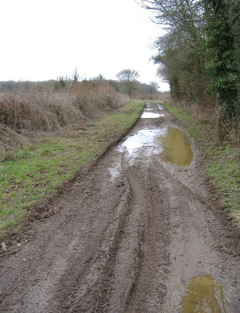
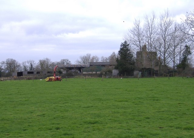
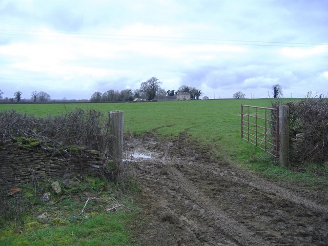
Cream Gorse Images
Images are sourced within 2km of 51.548569/-2.2028621 or Grid Reference ST8683. Thanks to Geograph Open Source API. All images are credited.
Cream Gorse is located at Grid Ref: ST8683 (Lat: 51.548569, Lng: -2.2028621)
Unitary Authority: Wiltshire
Police Authority: Wiltshire
What 3 Words
///daffodils.winks.flamenco. Near Sherston, Wiltshire
Nearby Locations
Related Wikis

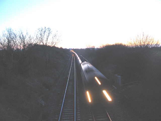
Alderton Tunnel
The Alderton Tunnel sits on the South Wales Main Line in England, on a stretch of line between Swindon and Bristol Parkway. The tunnel, which is 506 yards...
Alderton, Wiltshire
Alderton is a village and former civil parish, now in the parish of Luckington, in Wiltshire, England, 6 miles (9.7 km) southwest of Malmesbury. In 1931...

Sherston, Wiltshire
Sherston is a village and civil parish about 5 miles (8 km) west of Malmesbury in Wiltshire, England. The parish is bounded to the north by the county...

Norton, Wiltshire
Norton is a small village and civil parish in Wiltshire, England, about 3.5 miles (5.6 km) south-west of Malmesbury. The parish includes the hamlets of...

Luckington
Luckington is a village and civil parish in the southern Cotswolds, in north-west Wiltshire, England, about 6+1⁄2 miles (10 km) west of Malmesbury. The...

Church of the Holy Cross, Sherston
The Church of the Holy Cross is the Grade I listed Anglican parish church in the village of Sherston, Wiltshire, England. It has Norman origins and contains...
Grittleton Strict Baptist Chapel
Grittleton Strict Baptist Chapel is a Baptist chapel in The Street, Grittleton, Wiltshire, England. It is recorded in the National Heritage List for England...

Grittleton
Grittleton is a village and civil parish in Wiltshire, England, 6 miles (10 km) northwest of Chippenham. The parish includes the hamlets of Foscote,...
Nearby Amenities
Located within 500m of 51.548569,-2.2028621Have you been to Cream Gorse?
Leave your review of Cream Gorse below (or comments, questions and feedback).