Allenheads Plantation
Wood, Forest in Northumberland
England
Allenheads Plantation
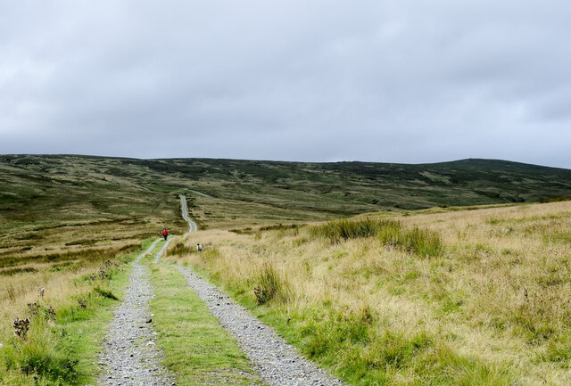
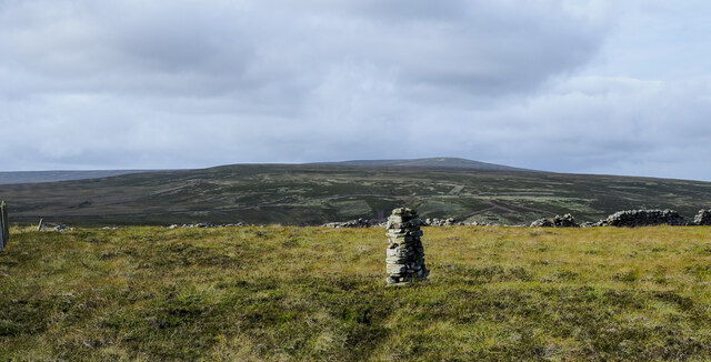
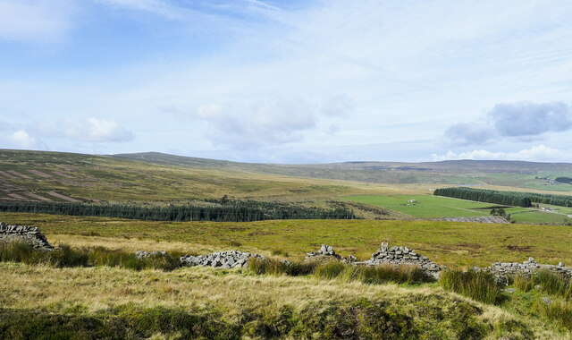
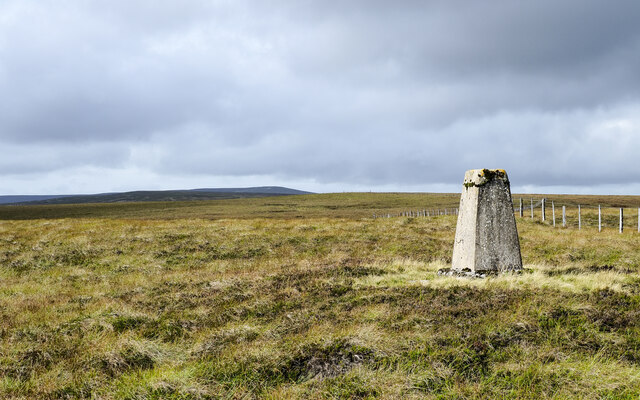
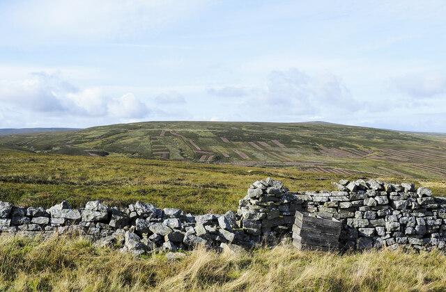
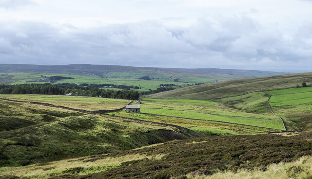
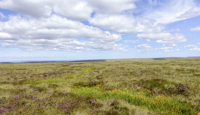
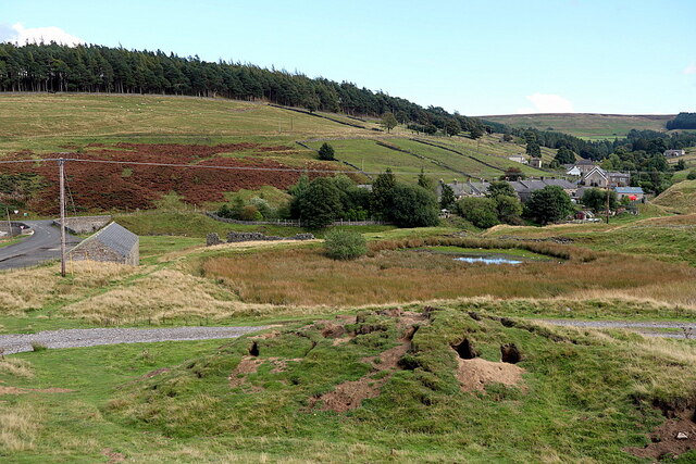
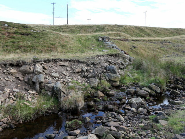
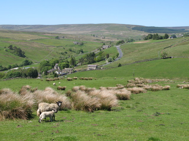
Allenheads Plantation is a picturesque woodland located in Northumberland, England. Situated near the village of Allenheads, the plantation covers an extensive area of approximately 300 hectares. The plantation is nestled within the stunning North Pennines Area of Outstanding Natural Beauty, offering visitors a serene and tranquil escape from the hustle and bustle of everyday life.
The woodland is predominantly composed of coniferous trees, including Scots pine, Sitka spruce, and Douglas fir. These towering trees provide a dense canopy, creating a shaded and cool environment throughout the year. The understory is adorned with a variety of native flora, such as bluebells, foxgloves, and ferns, adding a splash of vibrant colors to the woodland floor.
Allenheads Plantation is a haven for wildlife, boasting a rich biodiversity. Visitors may encounter a plethora of bird species, including buzzards, woodpeckers, and owls, as well as small mammals like red squirrels and rabbits. The plantation's peaceful atmosphere and diverse habitats make it an ideal location for nature enthusiasts, birdwatchers, and photographers.
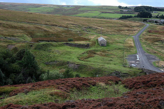
The plantation offers a network of well-maintained footpaths and trails, allowing visitors to explore the woodland at their own pace. These paths wind through the trees, offering stunning views of the surrounding countryside and the nearby River East Allen. Picnic areas and benches are scattered throughout the plantation, providing the perfect spots to rest and admire the natural beauty.
Allenheads Plantation is a cherished local asset, attracting both residents and tourists alike. Its idyllic setting, diverse wildlife, and accessible trails make it a popular destination for outdoor activities, nature walks, and family outings.
If you have any feedback on the listing, please let us know in the comments section below.
Allenheads Plantation Images
Images are sourced within 2km of 54.795754/-2.2237654 or Grid Reference NY8544. Thanks to Geograph Open Source API. All images are credited.
Allenheads Plantation is located at Grid Ref: NY8544 (Lat: 54.795754, Lng: -2.2237654)
Unitary Authority: Northumberland
Police Authority: Northumbria
What 3 Words
///neatly.plotter.kite. Near Alston, Cumbria
Nearby Locations
Related Wikis

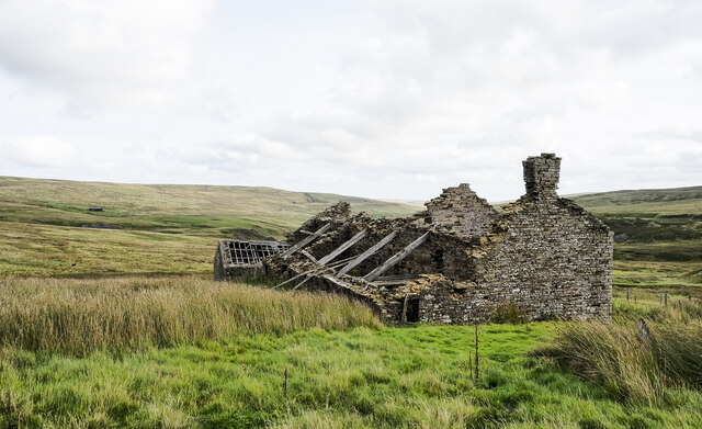
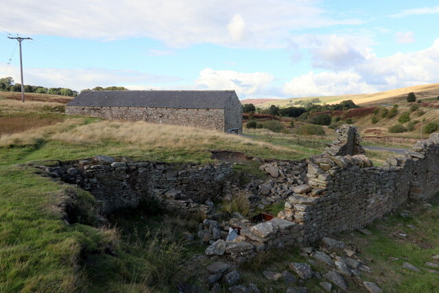
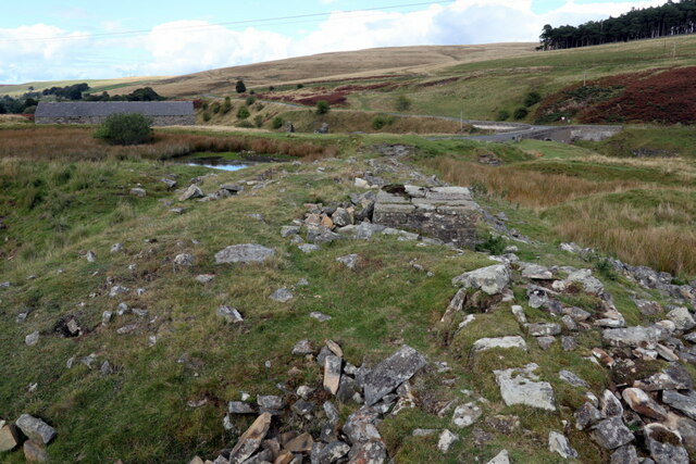
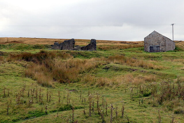
Allenheads
Allenheads is a former mining village in the Pennines to the north of Weardale in Northumberland, England. Lead extraction was the settlement's industry...

Lanehead
Lanehead is a hamlet in the civil parish of Stanhope, in County Durham, England. It lies at the head of Weardale, approximately 2 km west of Cowshill....

Cornriggs Meadows
Cornriggs Meadows is a Site of Special Scientific Interest in Upper Weardale in north-west County Durham, England. It consists of a group of fields, located...
Cornriggs
Cornriggs is a hamlet in the civil parish of Stanhope, in County Durham, England. It is situated on the north side of Weardale in the North Pennines,...
Killhope
Killhope is a small settlement at the very highest end of Weardale in the civil parish of Stanhope, in County Durham, England. Killhope Pass, the road...
Old Moss Lead Vein
Old Moss Lead Vein, also known as Killhope Head, is a Site of Special Scientific Interest in the Wear Valley district of County Durham, England. It consists...

Cowshill
Cowshill is a village in the civil parish of Stanhope, in County Durham, England. It is situated at the top of Weardale, between Lanehead and Wearhead...
Copthill
Copthill is a village in the civil parish of Stanhope, in County Durham, England. It is situated on the north side of Weardale, between Cowshill and Cornriggs...
Related Videos
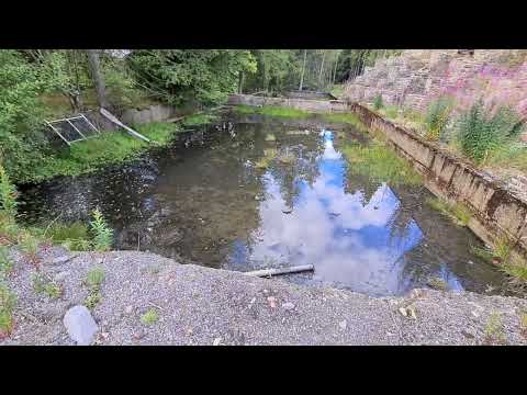
Allenheads, Northumberland Part 2 The Old Water Pump House.
The old water pumphouse is a great thing to see a super bit of engineering is well worth the visit. Filmed & edited by Exploring ...

Isaac's Tea Trail - Full Race 2023. Free GPX file ⬇️⬇️⬇️
Come and join us on this epic journey through some of the most dramatic countryside in the UK. You can choose Ultra or ...

Cowshill (Allenheads Side)
Gateway to the North Pennines.
Exploring The Old Mining Village Of Allenheads, Northumberland.
The old mining village of Allenheads Northumberland was a lead mining area, extraction was the settlement's industry until the ...
Nearby Amenities
Located within 500m of 54.795754,-2.2237654Have you been to Allenheads Plantation?
Leave your review of Allenheads Plantation below (or comments, questions and feedback).