Elrington Wood

Wood, Forest in Northumberland

England

Elrington Wood

Haydon Bridge Station carpark viewed through station platform fence This side for trains to Carlisle.
Haydon Bridge Station carpark viewed through station platform fence Credit: Luke Shaw

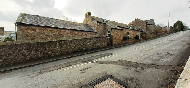
Elrington Wood is a picturesque woodland located in Northumberland, England. Spread across an area of approximately 100 acres, this ancient forest is known for its natural beauty and tranquil atmosphere. The wood is situated near the village of Elrington, within close proximity to the town of Hexham.

The forest is predominantly made up of native broadleaf trees, including oak, ash, and beech. These trees provide a dense canopy, creating a shaded and cool environment even during the summer months. The woodland floor is adorned with an array of wildflowers, adding bursts of color to the surroundings.

Elrington Wood is a haven for wildlife, attracting a diverse range of species. Visitors may catch a glimpse of roe deer, red squirrels, and a variety of bird species, including woodpeckers and tawny owls. The forest's peaceful ambiance makes it an ideal spot for birdwatching and nature photography.

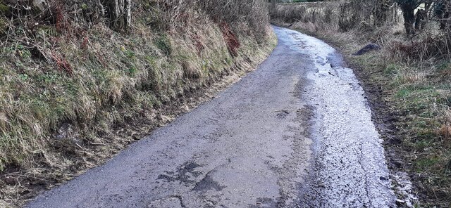
The wood boasts several well-maintained walking trails, allowing visitors to explore the area at their own pace. These paths wind their way through the forest, offering glimpses of enchanting glades and ancient trees. The woodland is also intersected by a small stream, which adds to the overall charm of the area.

Elrington Wood offers visitors a chance to escape the hustle and bustle of everyday life and immerse themselves in the beauty of nature. Whether it's a leisurely stroll through the forest or a picnic by the stream, this ancient woodland provides a serene and idyllic setting for all.

If you have any feedback on the listing, please let us know in the comments section below.

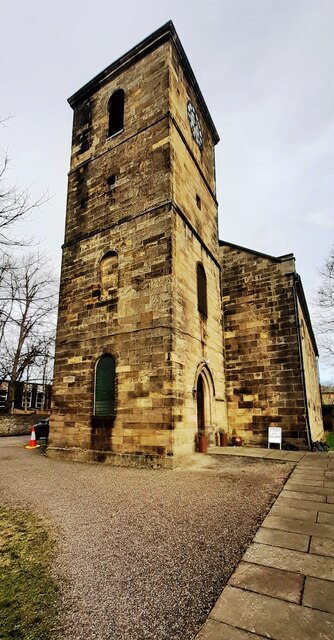
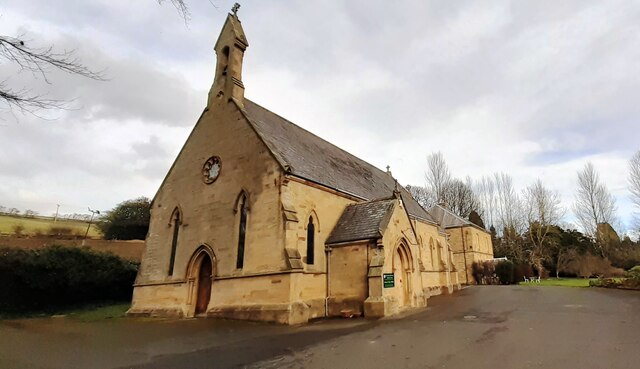
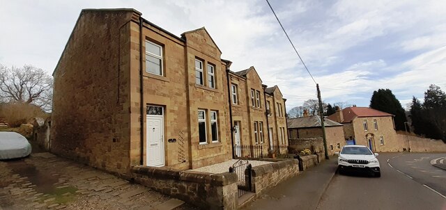
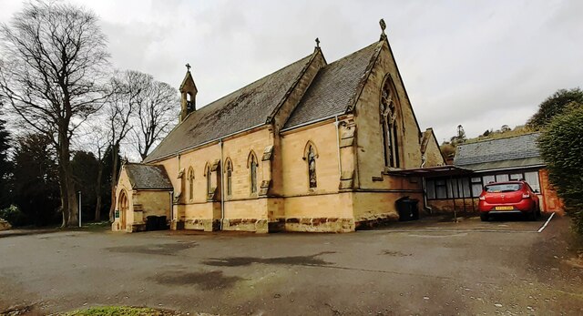
Elrington Wood Images

Images are sourced within 2km of 54.970241/-2.2244699 or Grid Reference NY8563. Thanks to Geograph Open Source API. All images are credited.

Haydon Bridge Station carpark viewed through station platform fence This side for trains to Carlisle.
Haydon Bridge Station carpark viewed through station platform fence
This side for trains to Carlisle.
Benchmark on stone wall on NE side of North Bank Ordnance Survey cut mark benchmark levelled at 70.455m above Newlyn Datum verified 1954
Benchmark on stone wall on NE side of North Bank
Ordnance Survey cut mark benchmark levelled at 70.455m above Newlyn Datum verified 1954
Looking NW along North Bank as it passes Haydon Lodge There is an Ordnance Survey benchmark <a href="https://www.geograph.org.uk/photo/7106376">NY8464 : Benchmark on stone wall on NE side of North Bank</a> on the stone wall about 2m right of its corner near the right hand edge of the image
Looking NW along North Bank as it passes Haydon Lodge
There is an Ordnance Survey benchmark NY8464 : Benchmark on stone wall on NE side of North Bank on the stone wall about 2m right of its corner near the right hand edge of the image
Benchmark on roadside jut of Haydon Park House on south side of North Bank Ordnance Survey cut mark benchmark levelled at 96.168m above Newlyn Datum in 1954
Benchmark on roadside jut of Haydon Park House on south side of North Bank
Ordnance Survey cut mark benchmark levelled at 96.168m above Newlyn Datum in 1954
Haydon Park House, south side North Bank There is an Ordnance Survey benchmark <a href="https://www.geograph.org.uk/photo/7106391">NY8364 : Benchmark on roadside jut of Haydon Park House on south side of North Bank</a> on the house jut at the right hand side of the metal entrance gate
Haydon Park House, south side North Bank
There is an Ordnance Survey benchmark NY8364 : Benchmark on roadside jut of Haydon Park House on south side of North Bank on the house jut at the right hand side of the metal entrance gate
Benchmark on stone on west side of rural road south of East Haydon Farm Ordnance Survey cut mark benchmark levelled at 164.738m above Newlyn Datum verified 1954
Benchmark on stone on west side of rural road south of East Haydon Farm
Ordnance Survey cut mark benchmark levelled at 164.738m above Newlyn Datum verified 1954
Rural road heading south at East Haydon Farm There is an Ordnance Survey benchmark <a href="https://www.geograph.org.uk/photo/7106474">NY8465 : Benchmark on stone on west side of rural road south of East Haydon Farm</a> on a stone at the left hand side of the road in the left foreground
Rural road heading south at East Haydon Farm
There is an Ordnance Survey benchmark NY8465 : Benchmark on stone on west side of rural road south of East Haydon Farm on a stone at the left hand side of the road in the left foreground
Benchmark on St Cuthbert's Church Ordnance Survey 1GL bolt benchmark levelled at 64.535m above Newlyn Datum verified 1954. The mark was previously levelled at 211.499 feet above Liverpool Datum during the 1GL Carlisle to North Shields survey of 1844-1845. The surveyor's description was 'No. 106. Bolt in South-west corner of tower of Haydonbridge Parish Church ; 2.12 ft. above surface'
Benchmark on St Cuthbert's Church
Ordnance Survey 1GL bolt benchmark levelled at 64.535m above Newlyn Datum verified 1954. The mark was previously levelled at 211.499 feet above Liverpool Datum during the 1GL Carlisle to North Shields survey of 1844-1845. The surveyor's description was 'No. 106. Bolt in South-west corner of tower of Haydonbridge Parish Church ; 2.12 ft. above surface'
St Cuthbert's Church on east side of Church Street There is an Ordnance Survey benchmark <a href="https://www.geograph.org.uk/photo/7115512">NY8464 : Benchmark on St Cuthbert's Church</a> on the near corner, left hand face, of the church tower
St Cuthbert's Church on east side of Church Street
There is an Ordnance Survey benchmark NY8464 : Benchmark on St Cuthbert's Church on the near corner, left hand face, of the church tower
Benchmark on St John of Beverley Church Ordnance Survey cut mark benchmark levelled at 75.993m above Newlyn Datum verified 1954
Benchmark on St John of Beverley Church
Ordnance Survey cut mark benchmark levelled at 75.993m above Newlyn Datum verified 1954
St John of Beverley Church There is an Ordnance Survey benchmark <a href="https://www.geograph.org.uk/photo/7115529">NY8464 : Benchmark on St John of Beverley Church</a> on the near corner, left hand face, of the church
St John of Beverley Church
There is an Ordnance Survey benchmark NY8464 : Benchmark on St John of Beverley Church on the near corner, left hand face, of the church
Benchmark on the west side of 3 South View, North Bank Ordnance Survey cut mark benchmark levelled at 82.598m above Newlyn Datum verified 1954
Benchmark on the west side of 3 South View, North Bank
Ordnance Survey cut mark benchmark levelled at 82.598m above Newlyn Datum verified 1954
Houses of South View on north side of North Bank There is an Ordnance Survey benchmark <a href="https://www.geograph.org.uk/photo/7115544">NY8464 : Benchmark on the west side of 3 South View, North Bank</a> on the front corner, left hand face, of the nearest house
Houses of South View on north side of North Bank
There is an Ordnance Survey benchmark NY8464 : Benchmark on the west side of 3 South View, North Bank on the front corner, left hand face, of the nearest house
St John of Beverley Roman Catholic Church
Haydon Old Church
Haydon Old Church
Footpath to Haydon Old Church from road south of Pagecroft There is a stone post beside the wall - I don't know its significance
Footpath to Haydon Old Church from road south of Pagecroft
There is a stone post beside the wall - I don't know its significance
Benchmark on west angle of Haydon Old Church Ordnance Survey cut mark benchmark levelled at 169.283m above Newlyn Datum verified 1954
Benchmark on west angle of Haydon Old Church
Ordnance Survey cut mark benchmark levelled at 169.283m above Newlyn Datum verified 1954
Belfry end of Haydon Old Church There is an Ordnance Survey benchmark <a href="https://www.geograph.org.uk/photo/7116521">NY8465 : Benchmark on west angle of Haydon Old Church</a> on the near corner, left hand face, of the building.
Belfry end of Haydon Old Church
There is an Ordnance Survey benchmark NY8465 : Benchmark on west angle of Haydon Old Church on the near corner, left hand face, of the building.
Show me another place!

Elrington Wood is located at Grid Ref: NY8563 (Lat: 54.970241, Lng: -2.2244699)

Unitary Authority: Northumberland

Police Authority: Northumbria

What 3 Words

///repeats.hologram.headliner. Near Haydon Bridge, Northumberland

Nearby Locations

Elrington Wood

Related Wikis

Elrington Halt railway station

Elrington Halt station is a closed stone built railway station situated on a single track branch railway line in Northumberland, England, that ran from...
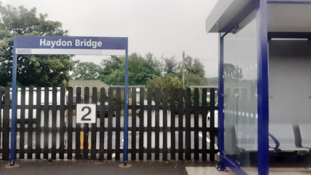
Haydon Bridge

Haydon Bridge is a village in Northumberland, England, which had a population of 2,184 in the 2011 census. Its most distinctive features are the two bridges...

Haydon Bridge railway station

Haydon Bridge is a railway station on the Tyne Valley Line, which runs between Newcastle and Carlisle via Hexham. The station, situated 29 miles 68 chains...

Haydon Bridge High School

Haydon Bridge High School is a mixed secondary day school located in Haydon Bridge in the English county of Northumberland. The current headteacher is...
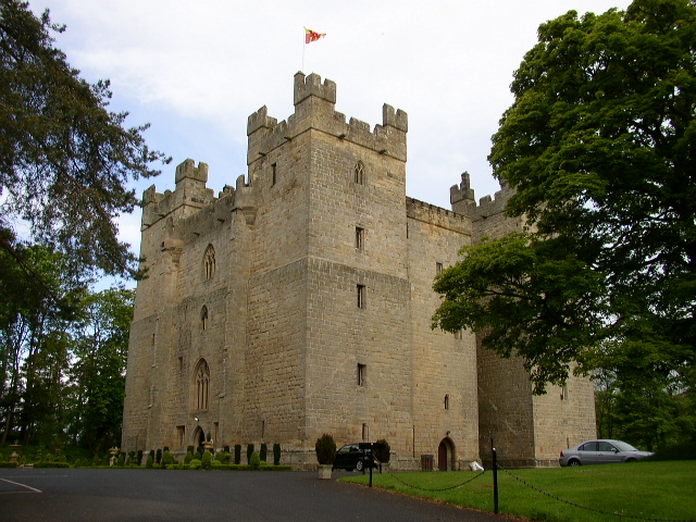
Langley Castle

Langley Castle is a restored medieval tower house, now operated as a hotel, situated in the village of Langley in the valley of the River South Tyne some...

Allerwash railway station

Allerwash railway station served the hamlet of Allerwash, Northumberland, England from 1836 to 1837 on the Newcastle and Carlisle Railway. == History... ==

Chesterwood

Chesterwood is a hamlet in Northumberland, in England. It is situated a short distance to the north-west of Haydon Bridge on the South Tyne, west of Hexham...

Langley-on-Tyne railway station

Langley-on-Tyne is a closed stone built railway station situated on a single track branch railway line in Northumberland, England, that ran from Allendale...

Nearby Amenities

Located within 500m of 54.970241,-2.2244699
Power: pole
Lat/Long: 54.9747027/-2.2235531
The data included in this document is from www.openstreetmap.org. The data is made available under ODbL.

Have you been to Elrington Wood?

Leave your review of Elrington Wood below (or comments, questions and feedback).