Mitchell's Coppice
Wood, Forest in Wiltshire
England
Mitchell's Coppice
Mitchell's Coppice is a beautiful woodland located in Wiltshire, England. Covering an area of approximately 50 acres, it is a prime example of a traditional coppice woodland. The site is managed by the Wiltshire Wildlife Trust and is open to the public throughout the year.
The woodland is characterized by its diverse range of tree species, including oak, ash, hazel, and birch. These trees are carefully managed through traditional coppicing techniques, which involve cutting the trees at the base to encourage new growth. This practice has been carried out in Mitchell's Coppice for centuries, resulting in a rich and varied habitat.
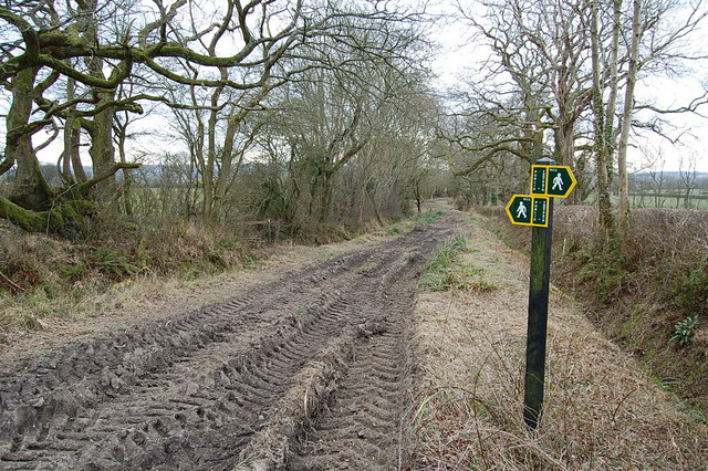
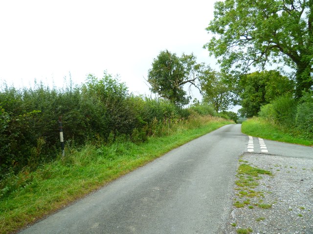
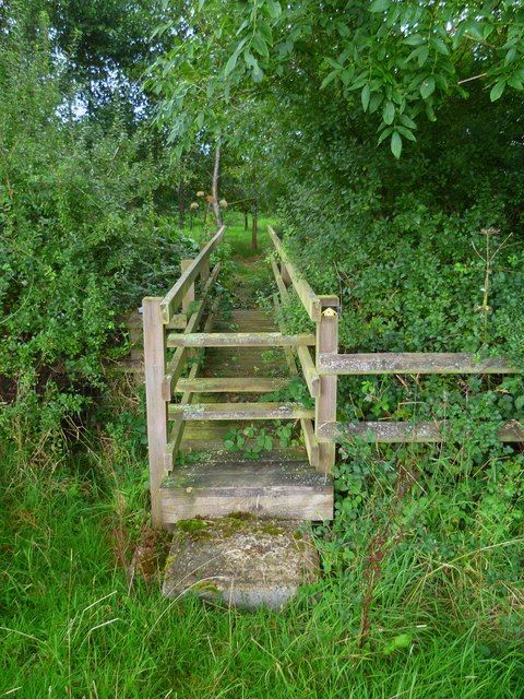
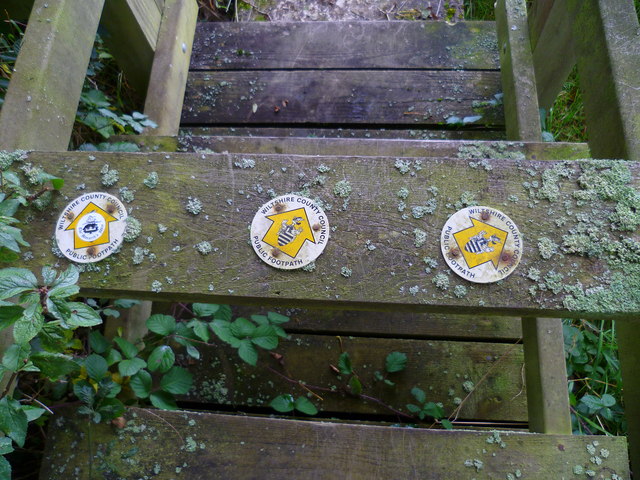
Visitors to Mitchell's Coppice can enjoy a network of well-maintained footpaths, allowing them to explore the woodland at their own pace. The paths wind through the trees, offering stunning views and opportunities for wildlife spotting. The woodland is home to a wide range of flora and fauna, including bluebells, wood anemones, and various bird species.
In addition to its natural beauty, Mitchell's Coppice also has historical significance. The site contains remnants of an ancient Roman road, known as the Harrow Way, which once connected the Roman towns of Winchester and Cirencester. These historical features add an extra layer of interest to the woodland, attracting history enthusiasts and nature lovers alike.
Overall, Mitchell's Coppice is a treasured woodland in Wiltshire, offering a tranquil escape from the hustle and bustle of everyday life. Its diverse range of flora and fauna, combined with its rich history, make it a must-visit destination for anyone seeking a connection with nature and a glimpse into the past.
If you have any feedback on the listing, please let us know in the comments section below.
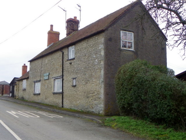
Mitchell's Coppice Images
Images are sourced within 2km of 51.082921/-2.2079257 or Grid Reference ST8531. Thanks to Geograph Open Source API. All images are credited.


Mitchell's Coppice is located at Grid Ref: ST8531 (Lat: 51.082921, Lng: -2.2079257)
Unitary Authority: Wiltshire
Police Authority: Wiltshire
What 3 Words
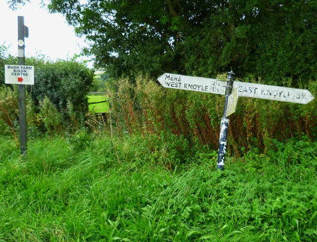
///version.wired.tiny. Near Mere, Wiltshire
Nearby Locations
Related Wikis

Hang Wood
Hang Wood (grid reference ST861319) is a 20.3 hectare biological Site of Special Scientific Interest in Wiltshire, notified in 1986. == Sources == Natural...

West Knoyle
West Knoyle is a small village and civil parish in southwest Wiltshire, England, close to the southern edge of Salisbury Plain. The village is about 2...

Barrow Street, Wiltshire
Barrow Street is a hamlet in Wiltshire, England, about 1.9 miles (3.1 km) southeast of the town of Mere. The name comes from the early Bronze Age bowl...

Clouds House
Clouds House, also known simply as Clouds, is a Grade II* listed building at East Knoyle in Wiltshire, England. Designed by Arts and Crafts architect Philip...
Charnage Down Chalk Pit
Charnage Down Chalk Pit (grid reference ST837329) is a 3.7 hectare geological Site of Special Scientific Interest in Wiltshire, England, lying east of...

St. Mary's Church, East Knoyle
St. Mary's Church is a Church of England parish church in East Knoyle, Wiltshire, England. == History == The Church of England Parish Church of St Mary...

East Knoyle
East Knoyle is a village and civil parish in Wiltshire, in the south-west of England, just west of the A350 and about 9 miles (14 km) south of Warminster...

East Knoyle War Memorial
The East Knoyle War Memorial is a monument that commemorates the lives of soldiers from East Knoyle, Wiltshire, England, who were killed in war. Unveiled...
Nearby Amenities
Located within 500m of 51.082921,-2.2079257Have you been to Mitchell's Coppice?
Leave your review of Mitchell's Coppice below (or comments, questions and feedback).