Puck Well

Lake, Pool, Pond, Freshwater Marsh in Wiltshire

England

Puck Well

Chaddenwick Hill By which the A303 climbs onto the chalk.
Chaddenwick Hill Credit: Derek Harper

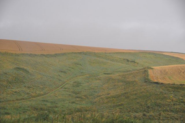
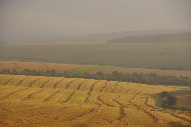
Puck Well is a picturesque freshwater marsh situated in the county of Wiltshire, England. This natural water feature encompasses a combination of a lake, pool, and pond, making it a diverse and unique ecosystem. Covering an area of approximately 10 acres, Puck Well is nestled within a lush and verdant landscape, creating a serene and tranquil environment.

The marsh is fed by underground springs, which provide a constant flow of fresh water, ensuring the sustainability of the ecosystem. The water in Puck Well is exceptionally clear, allowing visitors to witness the fascinating underwater world teeming with various plant and animal species.

The surrounding vegetation of Puck Well is abundant and diverse, with reeds, rushes, and water lilies dominating the marsh's surface. These plants provide essential habitats for numerous bird species, amphibians, and insects that reside in or around the water. It is not uncommon to catch glimpses of colorful dragonflies darting above the water's surface or to hear the enchanting melodies of songbirds echoing through the marshland.

Puck Well is a haven for wildlife enthusiasts, offering the opportunity to observe a range of species in their natural habitat. Birdwatchers can spot common species such as mallards, swans, and herons, as well as rarer sightings like kingfishers and bitterns. The marsh also supports a thriving population of frogs, toads, and newts, which can be spotted basking on the banks or swimming gracefully in the water.

For those seeking a peaceful retreat in nature, Puck Well in Wiltshire provides a serene and idyllic setting to connect with the abundant beauty of the natural world.

If you have any feedback on the listing, please let us know in the comments section below.
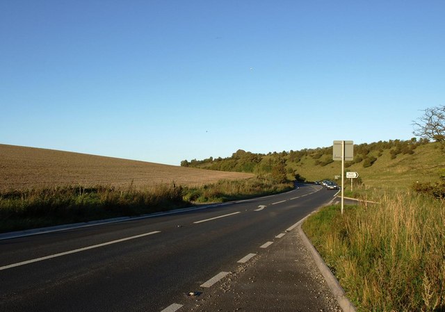
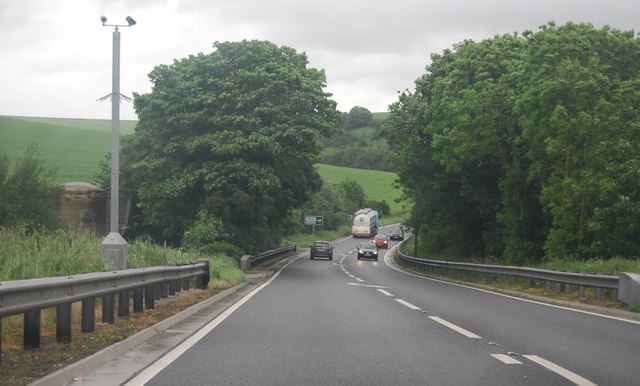
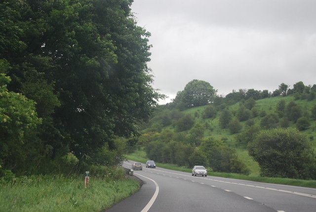
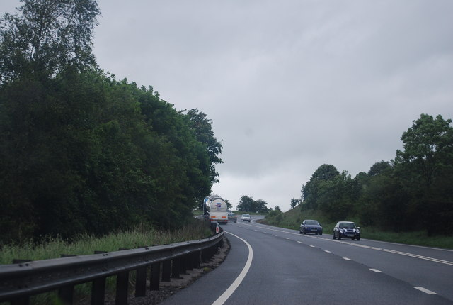
Puck Well Images

Images are sourced within 2km of 51.08606/-2.2078113 or Grid Reference ST8531. Thanks to Geograph Open Source API. All images are credited.

Chaddenwick Hill By which the A303 climbs onto the chalk.
Chaddenwick Hill
By which the A303 climbs onto the chalk.
Willoughby Hedge Cafe Small cafe on lay-by beside the A303.
Willoughby Hedge Cafe
Small cafe on lay-by beside the A303.
Mere : Chaddenwick Hill A303 Looking along Chaddenwick Hill.
Mere : Chaddenwick Hill A303
Looking along Chaddenwick Hill.
East Knoyle Windmill
Footpath/ Bridleway intersection
The A303 at the foot of Chaddenwick Hill
A303 near Pinching Pierce Barn The A303 is a main trunk road running 92 miles between Basingstoke and Honiton. Along with the A30 and M3 it forms a major route between London and the South West. Much of the road is dual carriageway, but some stretches remain single and prone to congestion.

Wikipedia: <span class="nowrap"><a title="http://en.wikipedia.org/wiki/A303_road" rel="nofollow ugc noopener" href="http://en.wikipedia.org/wiki/A303_road">Link</a><img style="margin-left:2px;" alt="External link" title="External link - shift click to open in new window" src="https://s1.geograph.org.uk/img/external.png" width="10" height="10"/></span>
A303 near Pinching Pierce Barn
The A303 is a main trunk road running 92 miles between Basingstoke and Honiton. Along with the A30 and M3 it forms a major route between London and the South West. Much of the road is dual carriageway, but some stretches remain single and prone to congestion. Wikipedia: LinkExternal link
A303 west of Chaddenwick Hill The A303 is a main trunk road running 92 miles between Basingstoke and Honiton. Along with the A30 and M3 it forms a major route between London and the South West. Much of the road is dual carriageway, but some stretches remain single and prone to congestion.

Wikipedia: <span class="nowrap"><a title="http://en.wikipedia.org/wiki/A303_road" rel="nofollow ugc noopener" href="http://en.wikipedia.org/wiki/A303_road">Link</a><img style="margin-left:2px;" alt="External link" title="External link - shift click to open in new window" src="https://s1.geograph.org.uk/img/external.png" width="10" height="10"/></span>
A303 west of Chaddenwick Hill
The A303 is a main trunk road running 92 miles between Basingstoke and Honiton. Along with the A30 and M3 it forms a major route between London and the South West. Much of the road is dual carriageway, but some stretches remain single and prone to congestion. Wikipedia: LinkExternal link
A303, Chaddenwick Hill One of the steepest hills on the A303, climbing Charnage Down.
A303, Chaddenwick Hill
One of the steepest hills on the A303, climbing Charnage Down.
Chaddenwick Hill, A303 One of the steepest hills on the A303, climbing Charnage Down.
Chaddenwick Hill, A303
One of the steepest hills on the A303, climbing Charnage Down.
The A303 The A303 is a main trunk road running 92 miles between Basingstoke and Honiton. Along with the A30 and M3 it forms a major route between London and the South West. Much of the road is dual carriageway, but some stretches remain single and prone to congestion.

Wikipedia: <span class="nowrap"><a title="http://en.wikipedia.org/wiki/A303_road" rel="nofollow ugc noopener" href="http://en.wikipedia.org/wiki/A303_road">Link</a><img style="margin-left:2px;" alt="External link" title="External link - shift click to open in new window" src="https://s1.geograph.org.uk/img/external.png" width="10" height="10"/></span>
The A303
The A303 is a main trunk road running 92 miles between Basingstoke and Honiton. Along with the A30 and M3 it forms a major route between London and the South West. Much of the road is dual carriageway, but some stretches remain single and prone to congestion. Wikipedia: LinkExternal link
Salisbury District : Grassy Countryside & Hillsides The grassy countryside and hills by the A303 in Wiltshire.
Salisbury District : Grassy Countryside & Hillsides
The grassy countryside and hills by the A303 in Wiltshire.
Salisbury District : Grassy Field & Hay Bales Looking towards a grassy field off of the A303 in the former Salisbury District.
Salisbury District : Grassy Field & Hay Bales
Looking towards a grassy field off of the A303 in the former Salisbury District.
Salisbury District : Grassy Field & Countryside In the parish of West Knowle looking out to the fields on a misty morning.
Salisbury District : Grassy Field & Countryside
In the parish of West Knowle looking out to the fields on a misty morning.
The Orange Way in Wiltshire (36) The lane on the right is Barrow Street Lane.  The signpost on the left is derelict.
The Orange Way in Wiltshire (36)
The lane on the right is Barrow Street Lane. The signpost on the left is derelict.
The Orange Way in Wiltshire (37) The route crosses Six Acre Lane and enters a field.
The Orange Way in Wiltshire (37)
The route crosses Six Acre Lane and enters a field.
The Orange Way in Wiltshire (38)
The Orange Way in Wiltshire (39) These waymarks are on the footbridge.  The Orange Way continues to follow the Monarch's Way.
The Orange Way in Wiltshire (39)
These waymarks are on the footbridge. The Orange Way continues to follow the Monarch's Way.
Show me another place!

Puck Well is located at Grid Ref: ST8531 (Lat: 51.08606, Lng: -2.2078113)

Unitary Authority: Wiltshire

Police Authority: Wiltshire

What 3 Words

///reclined.zipped.adventure. Near Mere, Wiltshire

Related Wikis

Hang Wood

Hang Wood (grid reference ST861319) is a 20.3 hectare biological Site of Special Scientific Interest in Wiltshire, notified in 1986. == Sources == Natural...

West Knoyle

West Knoyle is a small village and civil parish in southwest Wiltshire, England, close to the southern edge of Salisbury Plain. The village is about 2...

Charnage Down Chalk Pit

Charnage Down Chalk Pit (grid reference ST837329) is a 3.7 hectare geological Site of Special Scientific Interest in Wiltshire, England, lying east of...

Barrow Street, Wiltshire

Barrow Street is a hamlet in Wiltshire, England, about 1.9 miles (3.1 km) southeast of the town of Mere. The name comes from the early Bronze Age bowl...

Clouds House

Clouds House, also known simply as Clouds, is a Grade II* listed building at East Knoyle in Wiltshire, England. Designed by Arts and Crafts architect Philip...

St. Mary's Church, East Knoyle

St. Mary's Church is a Church of England parish church in East Knoyle, Wiltshire, England. == History == The Church of England Parish Church of St Mary...

East Knoyle

East Knoyle is a village and civil parish in Wiltshire, in the south-west of England, just west of the A350 and about 9 miles (14 km) south of Warminster...

East Knoyle War Memorial

The East Knoyle War Memorial is a monument that commemorates the lives of soldiers from East Knoyle, Wiltshire, England, who were killed in war. Unveiled...

Nearby Amenities

Located within 500m of 51.08606,-2.2078113
West Knoyle
Is In: Wiltshire, England, UK
Place: village
Lat/Long: 51.0901705/-2.2066869
Mackintosh Davidson Wood
Operator: Woodland Trust
Place: locality
Lat/Long: 51.0832659/-2.2050383
The data included in this document is from www.openstreetmap.org. The data is made available under ODbL.

Have you been to Puck Well?

Leave your review of Puck Well below (or comments, questions and feedback).