Puckwell Coppice

Wood, Forest in Wiltshire

England

Puckwell Coppice

Chaddenwick Hill By which the A303 climbs onto the chalk.
Chaddenwick Hill Credit: Derek Harper

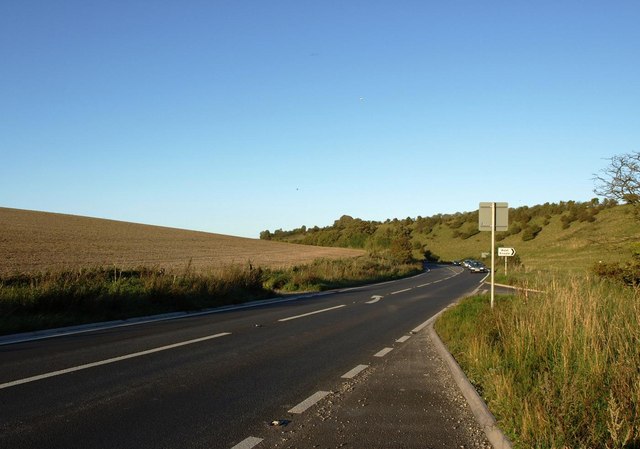
Puckwell Coppice is a serene woodland area located in the county of Wiltshire, England. Situated near the village of Great Bedwyn, this enchanting forest covers an area of approximately 20 hectares.

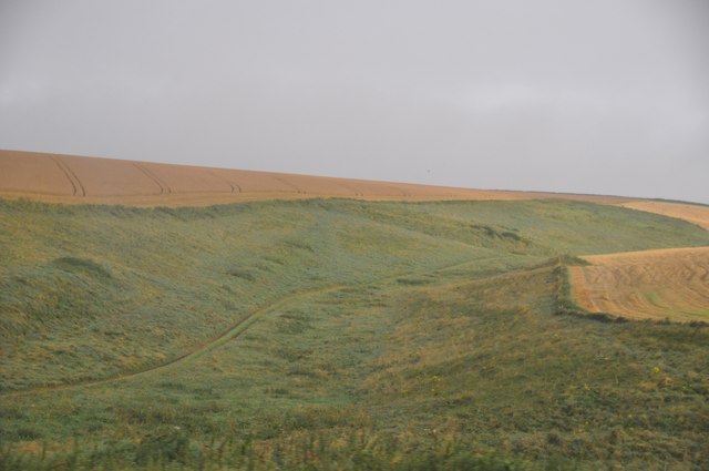
The coppice is primarily composed of a mixture of broadleaf trees, including oak, beech, and ash, which create a diverse and captivating landscape. The woodland floor is adorned with a rich tapestry of wildflowers, such as bluebells and primroses, adding vibrant colors to the scene during springtime.

Puckwell Coppice is a haven for wildlife, providing an ideal habitat for a variety of species. Birdwatchers can delight in the presence of woodpeckers, tawny owls, and great tits, while nature enthusiasts may spot badgers, foxes, and deer roaming the area. The forest is also home to a wide range of insect life, including butterflies and beetles.

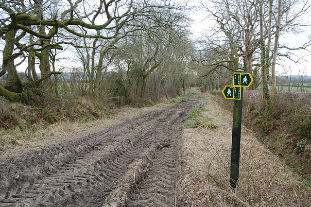
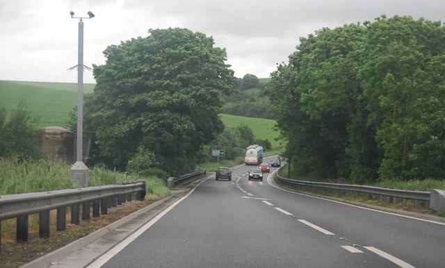
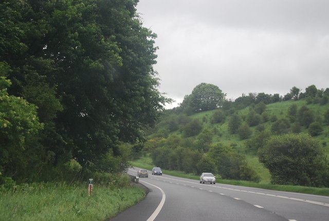
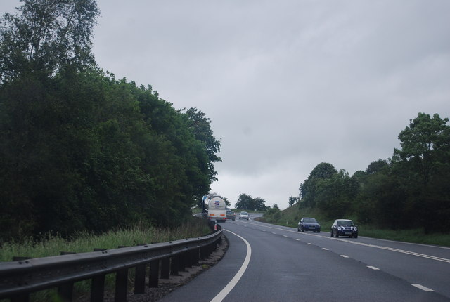
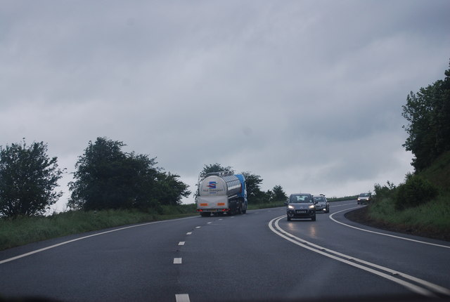
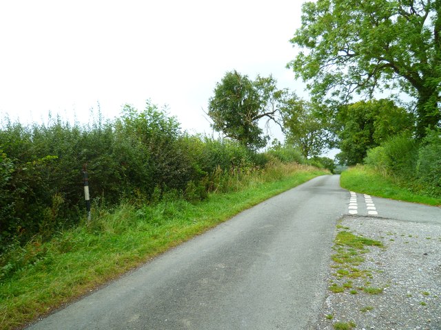
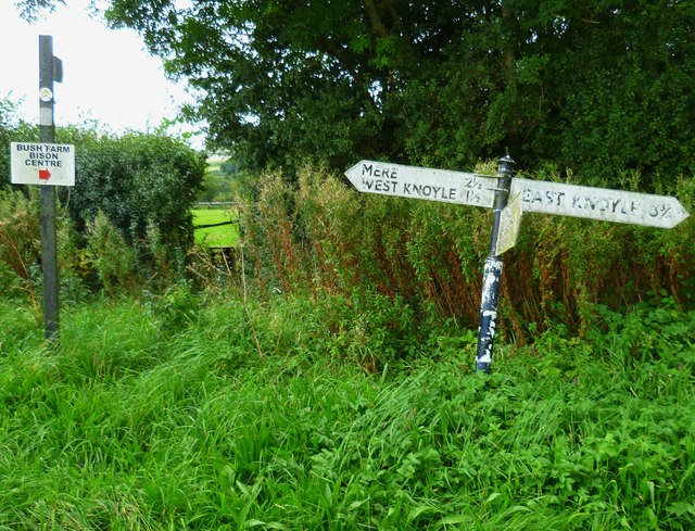
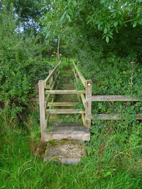
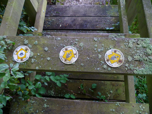
The woodland offers a tranquil escape for visitors, with several footpaths meandering through its leafy corridors. These paths allow people to explore the beauty of the coppice, providing opportunities for leisurely walks or peaceful picnics amidst the natural surroundings. Additionally, the forest is often used for educational purposes, as it offers an excellent setting for learning about woodland ecosystems and conservation.

Puckwell Coppice is a cherished natural gem in Wiltshire, offering a serene and picturesque setting for nature lovers and those seeking a peaceful retreat. Its lush vegetation, diverse wildlife, and scenic trails make it a must-visit destination for anyone wishing to immerse themselves in the beauty of the English countryside.

If you have any feedback on the listing, please let us know in the comments section below.

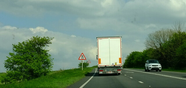
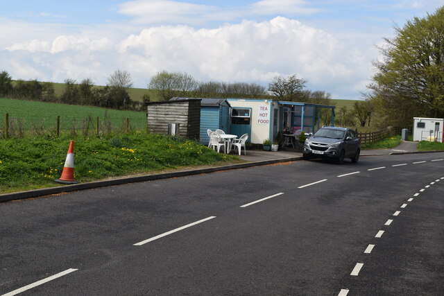
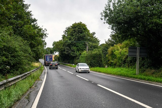
Puckwell Coppice Images

Images are sourced within 2km of 51.085383/-2.2089361 or Grid Reference ST8531. Thanks to Geograph Open Source API. All images are credited.

Chaddenwick Hill By which the A303 climbs onto the chalk.
Chaddenwick Hill
By which the A303 climbs onto the chalk.
Willoughby Hedge Cafe Small cafe on lay-by beside the A303.
Willoughby Hedge Cafe
Small cafe on lay-by beside the A303.
Mere : Chaddenwick Hill A303 Looking along Chaddenwick Hill.
Mere : Chaddenwick Hill A303
Looking along Chaddenwick Hill.
Footpath/ Bridleway intersection
The A303 at the foot of Chaddenwick Hill
A303 near Pinching Pierce Barn The A303 is a main trunk road running 92 miles between Basingstoke and Honiton. Along with the A30 and M3 it forms a major route between London and the South West. Much of the road is dual carriageway, but some stretches remain single and prone to congestion.

Wikipedia: <span class="nowrap"><a title="http://en.wikipedia.org/wiki/A303_road" rel="nofollow ugc noopener" href="http://en.wikipedia.org/wiki/A303_road">Link</a><img style="margin-left:2px;" alt="External link" title="External link - shift click to open in new window" src="https://s1.geograph.org.uk/img/external.png" width="10" height="10"/></span>
A303 near Pinching Pierce Barn
The A303 is a main trunk road running 92 miles between Basingstoke and Honiton. Along with the A30 and M3 it forms a major route between London and the South West. Much of the road is dual carriageway, but some stretches remain single and prone to congestion. Wikipedia: LinkExternal link
A303 west of Chaddenwick Hill The A303 is a main trunk road running 92 miles between Basingstoke and Honiton. Along with the A30 and M3 it forms a major route between London and the South West. Much of the road is dual carriageway, but some stretches remain single and prone to congestion.

Wikipedia: <span class="nowrap"><a title="http://en.wikipedia.org/wiki/A303_road" rel="nofollow ugc noopener" href="http://en.wikipedia.org/wiki/A303_road">Link</a><img style="margin-left:2px;" alt="External link" title="External link - shift click to open in new window" src="https://s1.geograph.org.uk/img/external.png" width="10" height="10"/></span>
A303 west of Chaddenwick Hill
The A303 is a main trunk road running 92 miles between Basingstoke and Honiton. Along with the A30 and M3 it forms a major route between London and the South West. Much of the road is dual carriageway, but some stretches remain single and prone to congestion. Wikipedia: LinkExternal link
A303, Chaddenwick Hill One of the steepest hills on the A303, climbing Charnage Down.
A303, Chaddenwick Hill
One of the steepest hills on the A303, climbing Charnage Down.
Chaddenwick Hill, A303 One of the steepest hills on the A303, climbing Charnage Down.
Chaddenwick Hill, A303
One of the steepest hills on the A303, climbing Charnage Down.
The A303 The A303 is a main trunk road running 92 miles between Basingstoke and Honiton. Along with the A30 and M3 it forms a major route between London and the South West. Much of the road is dual carriageway, but some stretches remain single and prone to congestion.

Wikipedia: <span class="nowrap"><a title="http://en.wikipedia.org/wiki/A303_road" rel="nofollow ugc noopener" href="http://en.wikipedia.org/wiki/A303_road">Link</a><img style="margin-left:2px;" alt="External link" title="External link - shift click to open in new window" src="https://s1.geograph.org.uk/img/external.png" width="10" height="10"/></span>
The A303
The A303 is a main trunk road running 92 miles between Basingstoke and Honiton. Along with the A30 and M3 it forms a major route between London and the South West. Much of the road is dual carriageway, but some stretches remain single and prone to congestion. Wikipedia: LinkExternal link
Salisbury District : Grassy Countryside & Hillsides The grassy countryside and hills by the A303 in Wiltshire.
Salisbury District : Grassy Countryside & Hillsides
The grassy countryside and hills by the A303 in Wiltshire.
The Orange Way in Wiltshire (36) The lane on the right is Barrow Street Lane.  The signpost on the left is derelict.
The Orange Way in Wiltshire (36)
The lane on the right is Barrow Street Lane. The signpost on the left is derelict.
The Orange Way in Wiltshire (37) The route crosses Six Acre Lane and enters a field.
The Orange Way in Wiltshire (37)
The route crosses Six Acre Lane and enters a field.
The Orange Way in Wiltshire (38)
The Orange Way in Wiltshire (39) These waymarks are on the footbridge.  The Orange Way continues to follow the Monarch's Way.
The Orange Way in Wiltshire (39)
These waymarks are on the footbridge. The Orange Way continues to follow the Monarch's Way.
The Orange Way in Wiltshire (40) Atkin's Coppice is ahead.  I sheltered from the rain here and had a bite to eat.
The Orange Way in Wiltshire (40)
Atkin's Coppice is ahead. I sheltered from the rain here and had a bite to eat.
The Orange Way in Wiltshire (41) There's another field ahead.
The Orange Way in Wiltshire (41)
There's another field ahead.
The Orange Way in Wiltshire (42) This is looking north on The Street in West Knoyle.
The Orange Way in Wiltshire (42)
This is looking north on The Street in West Knoyle.
Show me another place!

Puckwell Coppice is located at Grid Ref: ST8531 (Lat: 51.085383, Lng: -2.2089361)

Unitary Authority: Wiltshire

Police Authority: Wiltshire

What 3 Words

///rewrites.lecturers.exotic. Near Mere, Wiltshire

Related Wikis

Hang Wood

Hang Wood (grid reference ST861319) is a 20.3 hectare biological Site of Special Scientific Interest in Wiltshire, notified in 1986. == Sources == Natural...

West Knoyle

West Knoyle is a small village and civil parish in southwest Wiltshire, England, close to the southern edge of Salisbury Plain. The village is about 2...

Barrow Street, Wiltshire

Barrow Street is a hamlet in Wiltshire, England, about 1.9 miles (3.1 km) southeast of the town of Mere. The name comes from the early Bronze Age bowl...

Charnage Down Chalk Pit

Charnage Down Chalk Pit (grid reference ST837329) is a 3.7 hectare geological Site of Special Scientific Interest in Wiltshire, England, lying east of...

Clouds House

Clouds House, also known simply as Clouds, is a Grade II* listed building at East Knoyle in Wiltshire, England. Designed by Arts and Crafts architect Philip...

St. Mary's Church, East Knoyle

St. Mary's Church is a Church of England parish church in East Knoyle, Wiltshire, England. == History == The Church of England Parish Church of St Mary...

East Knoyle

East Knoyle is a village and civil parish in Wiltshire, in the south-west of England, just west of the A350 and about 9 miles (14 km) south of Warminster...

East Knoyle War Memorial

The East Knoyle War Memorial is a monument that commemorates the lives of soldiers from East Knoyle, Wiltshire, England, who were killed in war. Unveiled...

Nearby Amenities

Located within 500m of 51.085383,-2.2089361
Mackintosh Davidson Wood
Operator: Woodland Trust
Place: locality
Lat/Long: 51.0832659/-2.2050383
The data included in this document is from www.openstreetmap.org. The data is made available under ODbL.

Have you been to Puckwell Coppice?

Leave your review of Puckwell Coppice below (or comments, questions and feedback).