Audsber Hill Plantation
Wood, Forest in Yorkshire Pendle
England
Audsber Hill Plantation

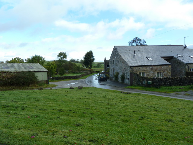
Audsber Hill Plantation, located in Yorkshire, England, is a picturesque woodland area that covers a vast expanse of land. It is situated in the heart of the Yorkshire Dales, known for its stunning natural beauty and rich history. The plantation is named after the Audsber Hill, a prominent hill in the region that offers breathtaking views of the surrounding countryside.
The plantation is renowned for its diverse range of trees and vegetation, including oak, beech, and birch trees, creating a dense and vibrant forest. The woodland is teeming with wildlife, making it a haven for nature enthusiasts and birdwatchers. Visitors can often spot various species of birds, rabbits, deer, and even the occasional elusive fox.
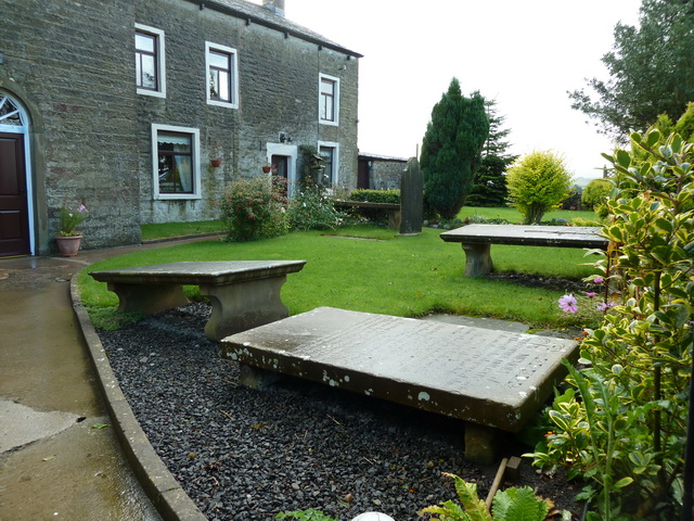
Walking trails crisscross the plantation, allowing visitors to explore its beauty and immerse themselves in nature. The trails take visitors through ancient woodlands, alongside babbling brooks, and up gentle hills, providing a peaceful and tranquil setting for hikers and nature lovers. The plantation also boasts several picnic areas where visitors can relax and enjoy the serenity of their surroundings.
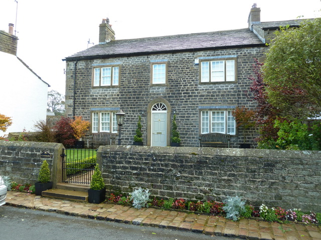
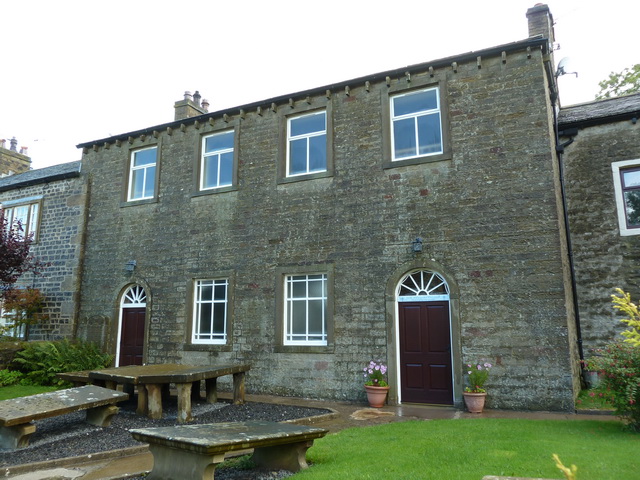
In addition to its natural allure, Audsber Hill Plantation offers historical significance. The area holds remnants of a medieval settlement, with ruins of stone cottages and ancient walls still visible. Archaeological excavations have unearthed artifacts, providing insight into the lives of the people who once inhabited the plantation.
Overall, Audsber Hill Plantation is a captivating destination for those seeking a peaceful retreat, a chance to connect with nature, and a glimpse into the region's rich history.
If you have any feedback on the listing, please let us know in the comments section below.
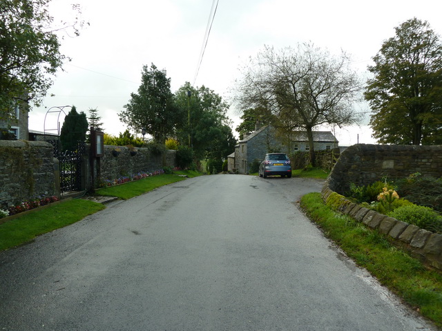
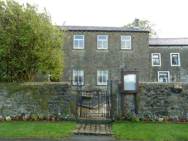
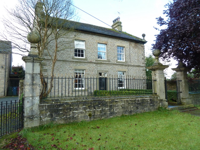
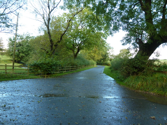
Audsber Hill Plantation Images
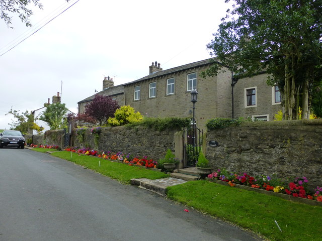
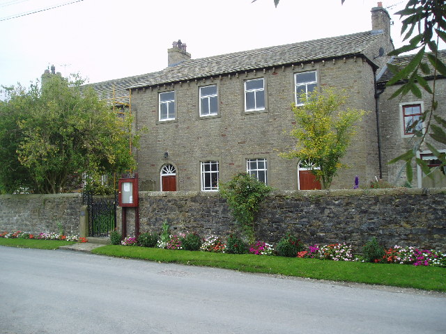
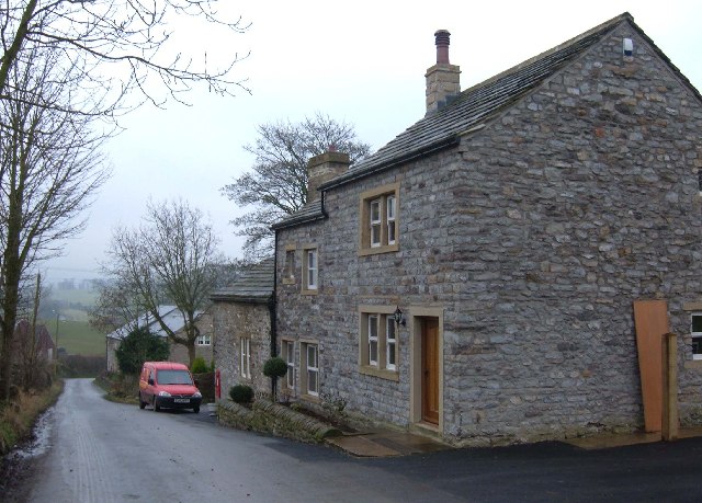
Images are sourced within 2km of 53.932499/-2.2218122 or Grid Reference SD8548. Thanks to Geograph Open Source API. All images are credited.


Audsber Hill Plantation is located at Grid Ref: SD8548 (Lat: 53.932499, Lng: -2.2218122)
Division: West Riding
Administrative County: Lancashire
District: Pendle
Police Authority: Lancashire
What 3 Words
///managers.steady.slid. Near Barnoldswick, Lancashire
Related Wikis

Bracewell and Brogden
Bracewell and Brogden is a civil parish in the West Craven area of the Borough of Pendle in Lancashire, England. According to the 2001 census it had a...

St Michael's Church, Bracewell
St Michael's Church is in Bracewell Lane, Bracewell, Lancashire, England. It is an active Anglican parish church in the deanery of Skipton, the archdeaconry...

A59 road
The A59 is a major road in England which is around 109 miles (175 km) long and runs from Wallasey, Merseyside to York, North Yorkshire. The alignment formed...

Horton, Lancashire
Horton, historically known as Horton-in-Craven, is a village and a civil parish in the Ribble Valley district of the English county of Lancashire (historically...

Barnoldswick Town F.C.
Barnoldswick Town Football Club is a football club based in Barnoldswick, Lancashire, England. They are currently members of the North West Counties League...
West Craven
West Craven is an area in the east of Lancashire, England in the far northern part of the borough of Pendle. Historically the area was within the ancient...

Gisburn Tunnel
Gisburn Tunnel is a short railway tunnel on the Ribble Valley line in Lancashire, England. The tunnel is 157 yards (144 m) long, just to the east of Gisburn...

Gisburn
Gisburn (formerly Gisburne) is a village and civil parish within the Ribble Valley borough of Lancashire, England. Historically within the West Riding...
Nearby Amenities
Located within 500m of 53.932499,-2.2218122Have you been to Audsber Hill Plantation?
Leave your review of Audsber Hill Plantation below (or comments, questions and feedback).