Sipton Plantation
Wood, Forest in Northumberland
England
Sipton Plantation
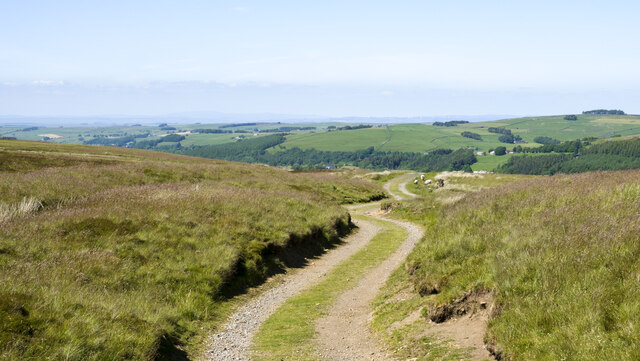
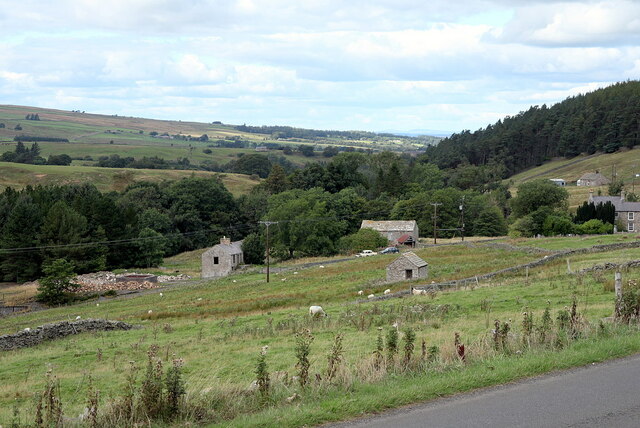
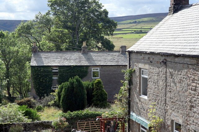
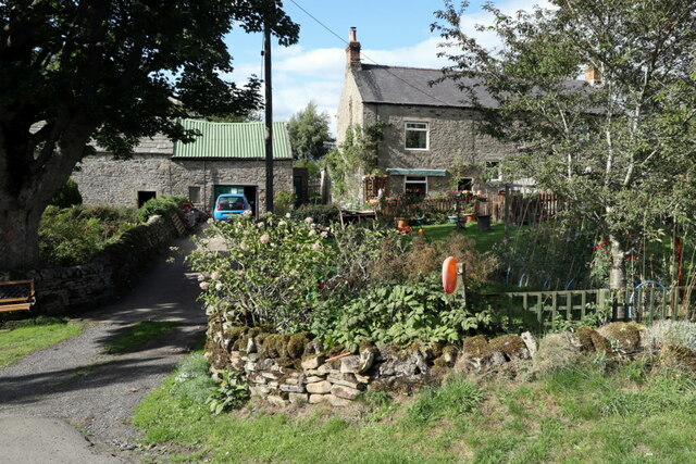
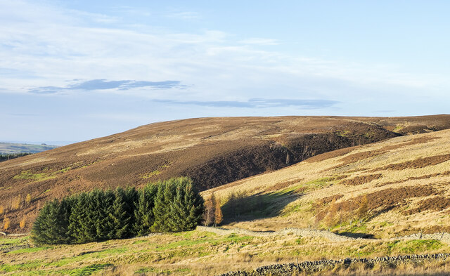
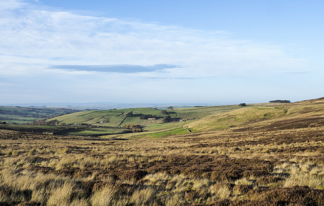
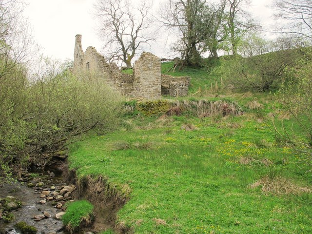
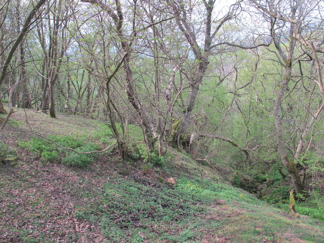
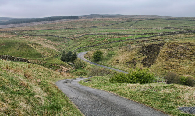
Sipton Plantation is a picturesque woodland area located in Northumberland, England. It covers an extensive area of dense forest, providing a haven for nature enthusiasts and outdoor adventurers alike. The plantation is situated near the village of Sipton, within close proximity to the Northumberland National Park, offering visitors a tranquil escape into nature.
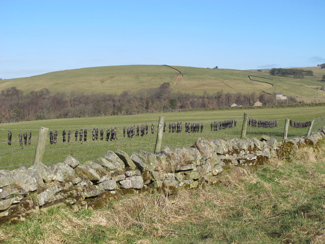
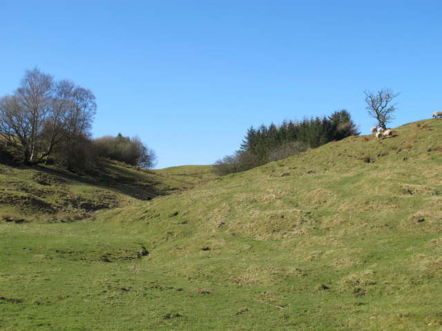
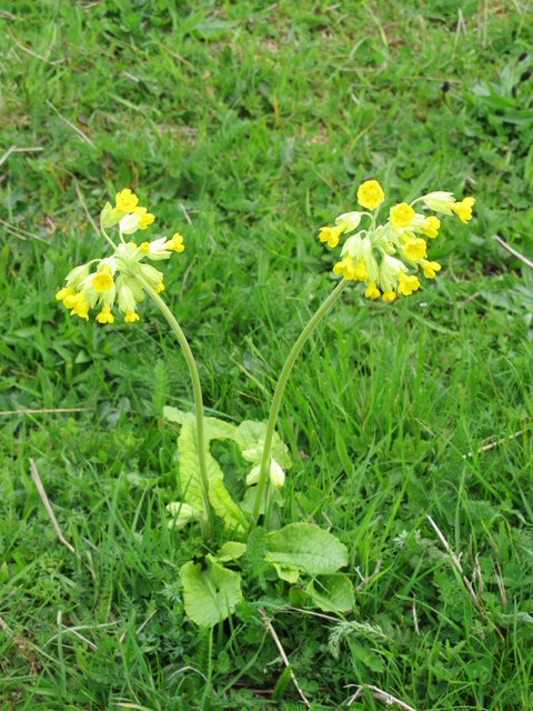
The woodland of Sipton Plantation is predominantly composed of a variety of tree species, including oak, beech, birch, and pine. These diverse habitats create a rich ecosystem, supporting a wide range of flora and fauna. The forest floor is adorned with a colorful carpet of wildflowers, such as bluebells and primroses, which bloom during the spring months.
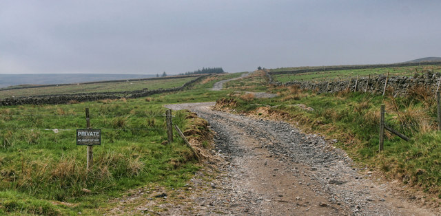
The plantation is crisscrossed by a network of well-maintained trails, providing ample opportunities for walking, hiking, and cycling. These paths lead visitors through the heart of the woodland, offering glimpses of wildlife, including deer, squirrels, and a variety of bird species.
Sipton Plantation also boasts several designated picnic areas, allowing visitors to relax and enjoy the serene surroundings. These spots provide the perfect opportunity to soak up the peaceful ambiance and indulge in a leisurely outdoor meal.
The plantation is open to the public year-round, with no entrance fee. However, it is important to note that certain areas may be subject to seasonal closures or restrictions to protect wildlife during breeding periods.
In conclusion, Sipton Plantation offers a captivating woodland experience in the heart of Northumberland. With its diverse tree species, abundant wildlife, and well-maintained trails, it provides a remarkable escape into nature for visitors of all ages.
If you have any feedback on the listing, please let us know in the comments section below.
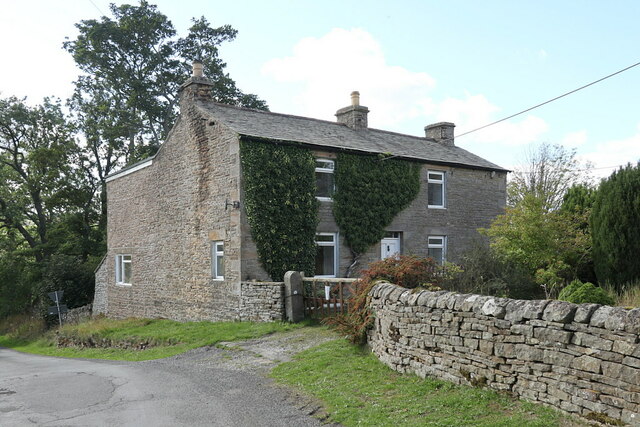
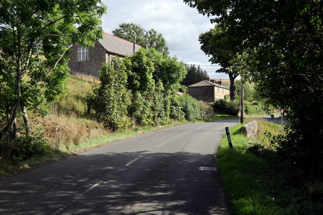
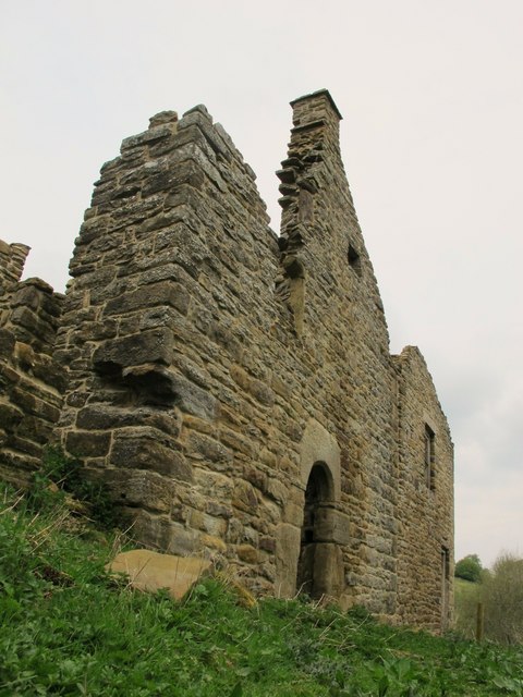
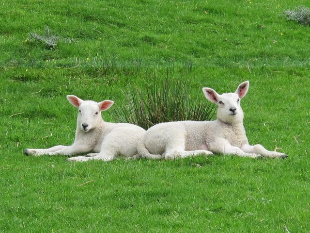
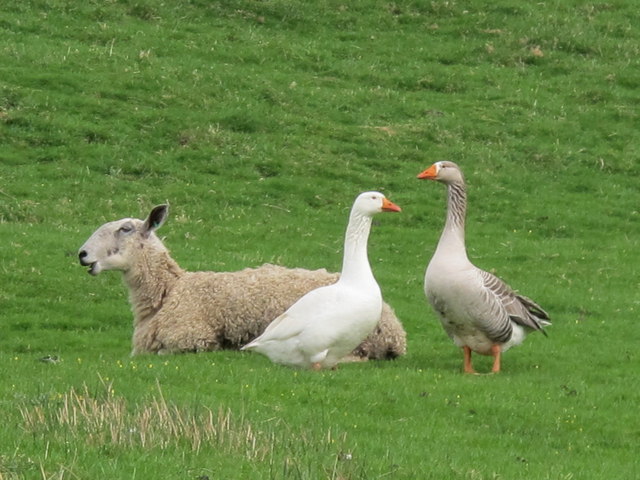
Sipton Plantation Images
Images are sourced within 2km of 54.852248/-2.2441702 or Grid Reference NY8450. Thanks to Geograph Open Source API. All images are credited.
Sipton Plantation is located at Grid Ref: NY8450 (Lat: 54.852248, Lng: -2.2441702)
Unitary Authority: Northumberland
Police Authority: Northumbria
What 3 Words
///shot.mailboxes.retiring. Near Alston, Cumbria
Nearby Locations
Related Wikis

Sinderhope
Sinderhope is a hamlet situated on the east Allen Valley in south-west Northumberland. The population is spread over farms in an area approximately 25...

Acton, Northumberland
Acton is a small hamlet in Northumberland, north-east England, about 3 miles (5 km) south of Allendale Town. Acton is usually Anglo-Saxon Old English...

Hexhamshire Moors
Hexhamshire Moors is a Site of Special Scientific Interest covering an extensive area of moorland in the Wear Valley district of north-west County Durham...

Allendale Moors
Allendale Moors is a Site of Special Scientific Interest (SSSI) in Northumberland, England. The upland moorland ridge site is listed for its heath, flush...

Throssel Hole Buddhist Abbey
Throssel Hole Buddhist Abbey is a Buddhist monastery and retreat centre located in Northumberland, in northern England. The monastic order is equally for...

Allendale, Northumberland
Allendale, often marked on maps as Allendale Town, is a village and civil parish in south west Northumberland, England. It is located within the North...

Museum of Classic Sci-Fi
The Museum of Classic Sci-Fi is in Allendale, Northumberland in England. The museum opened in 2018 and houses a collection of more than 200 props, costumes...
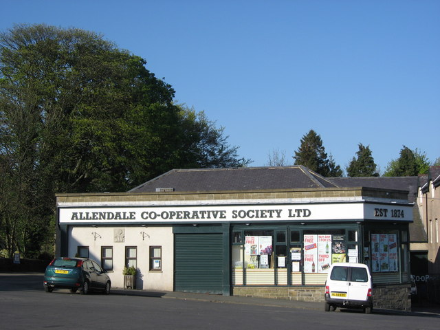
Allendale Co-operative Society
Allendale Co-operative Society is a small consumer co-operative in the village of Allendale, Northumberland, England. Founded in 1874 as the Allendale...
Nearby Amenities
Located within 500m of 54.852248,-2.2441702Have you been to Sipton Plantation?
Leave your review of Sipton Plantation below (or comments, questions and feedback).