Oldman Bottom
Valley in Northumberland
England
Oldman Bottom
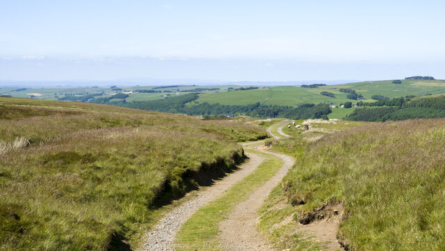
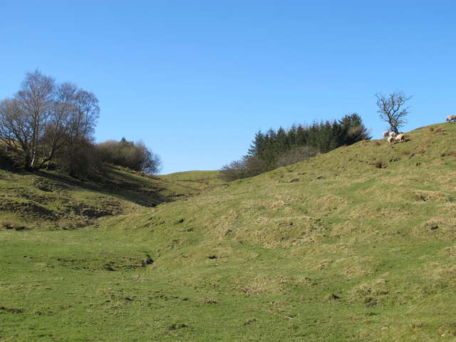
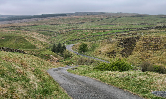
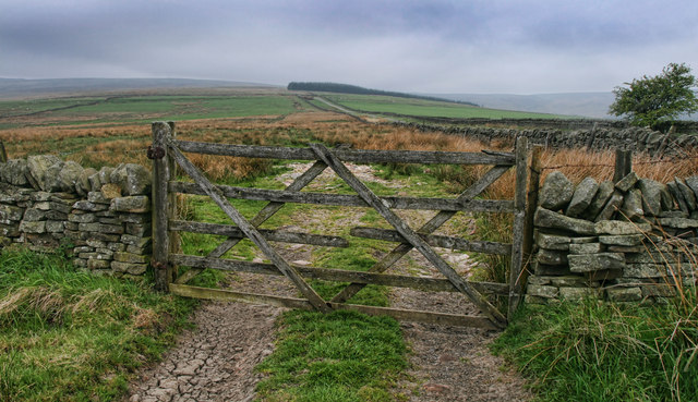
Oldman Bottom is a picturesque valley located in the county of Northumberland, England. Nestled amidst rolling hills and lush greenery, this hidden gem offers a tranquil escape from the bustling city life. The valley stretches for approximately two miles, beginning at the charming village of Oldman Bottom and extending towards the east.
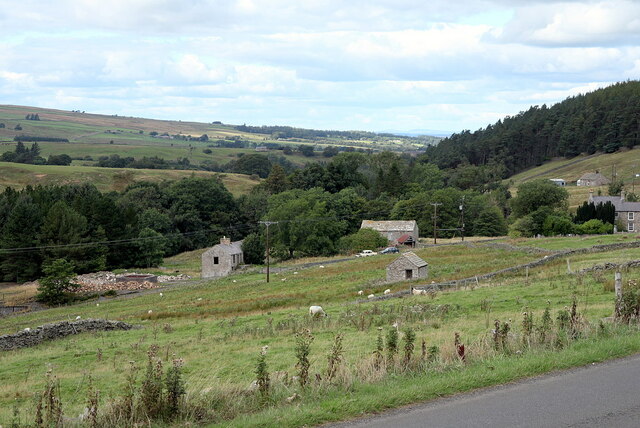
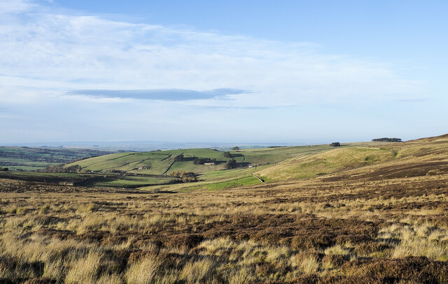
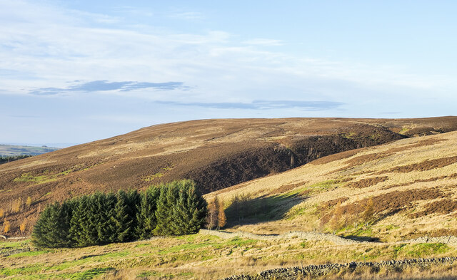
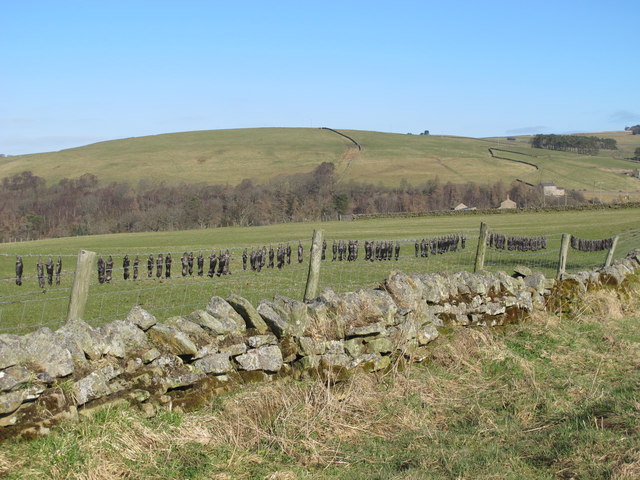
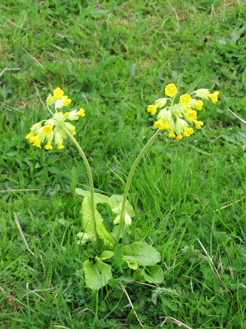
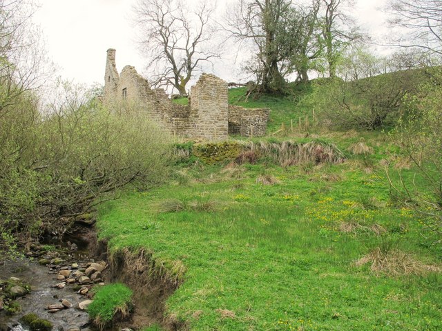
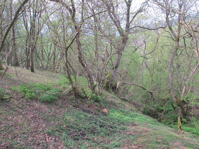
The valley is known for its natural beauty, with the meandering River Oldman flowing through its heart. The river is flanked by ancient woodlands and meadows, providing a habitat for a diverse range of flora and fauna. Visitors can enjoy leisurely walks along the riverbanks, taking in the serene atmosphere and admiring the stunning scenery.
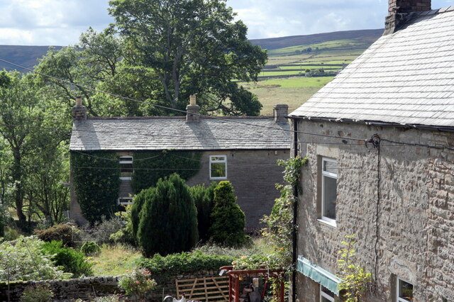
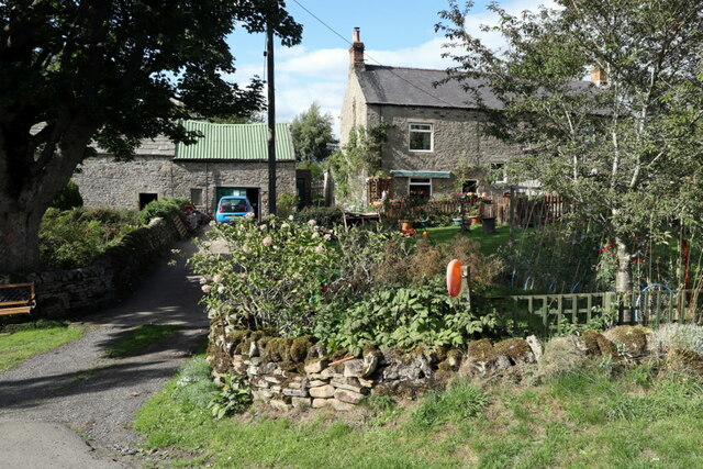
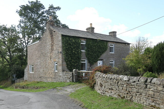
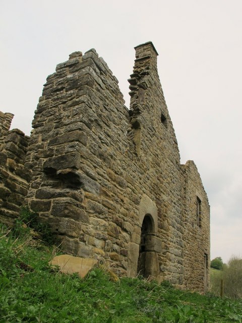
The village of Oldman Bottom itself is a quaint and idyllic settlement, with a small population of friendly locals. The village is characterized by its traditional stone cottages, many of which date back several centuries. The village pub, The Oldman Arms, is a popular spot for both locals and tourists, offering a warm welcome and a selection of delicious pub meals.
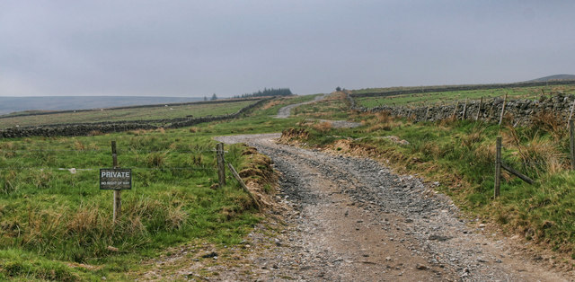
For those seeking outdoor adventures, Oldman Bottom offers several opportunities for hiking and cycling. The surrounding hills provide breathtaking viewpoints, allowing visitors to soak in the panoramic vistas of the valley and beyond. Additionally, the valley is home to an abundance of wildlife, making it a haven for nature enthusiasts and birdwatchers.
In conclusion, Oldman Bottom is a hidden gem in Northumberland, offering a peaceful retreat amidst stunning natural landscapes. Whether it's exploring the picturesque village, strolling along the riverbanks, or embarking on outdoor adventures, this valley is sure to captivate the hearts of all who visit.
If you have any feedback on the listing, please let us know in the comments section below.
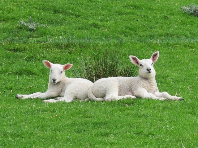
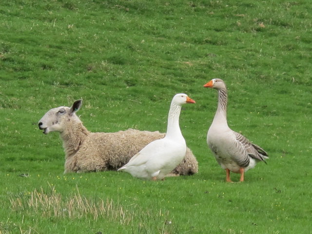
Oldman Bottom Images
Images are sourced within 2km of 54.851918/-2.2475012 or Grid Reference NY8450. Thanks to Geograph Open Source API. All images are credited.
Oldman Bottom is located at Grid Ref: NY8450 (Lat: 54.851918, Lng: -2.2475012)
Unitary Authority: Northumberland
Police Authority: Northumbria
What 3 Words
///glove.buying.unique. Near Alston, Cumbria
Nearby Locations
Related Wikis

Sinderhope
Sinderhope is a hamlet situated on the east Allen Valley in south-west Northumberland. The population is spread over farms in an area approximately 25...

Acton, Northumberland
Acton is a small hamlet in Northumberland, north-east England, about 3 miles (5 km) south of Allendale Town. Acton is usually Anglo-Saxon Old English...

Allendale Moors
Allendale Moors is a Site of Special Scientific Interest (SSSI) in Northumberland, England. The upland moorland ridge site is listed for its heath, flush...

Hexhamshire Moors
Hexhamshire Moors is a Site of Special Scientific Interest covering an extensive area of moorland in the Wear Valley district of north-west County Durham...

Throssel Hole Buddhist Abbey
Throssel Hole Buddhist Abbey is a Buddhist monastery and retreat centre located in Northumberland, in northern England. The monastic order is equally for...

Allendale, Northumberland
Allendale, often marked on maps as Allendale Town, is a village and civil parish in south west Northumberland, England. It is located within the North...

Museum of Classic Sci-Fi
The Museum of Classic Sci-Fi is in Allendale, Northumberland in England. The museum opened in 2018 and houses a collection of more than 200 props, costumes...
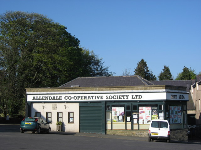
Allendale Co-operative Society
Allendale Co-operative Society is a small consumer co-operative in the village of Allendale, Northumberland, England. Founded in 1874 as the Allendale...
Nearby Amenities
Located within 500m of 54.851918,-2.2475012Have you been to Oldman Bottom?
Leave your review of Oldman Bottom below (or comments, questions and feedback).