Long Covert

Wood, Forest in Worcestershire Malvern Hills

England

Long Covert

B4211 through Church End
B4211 through Church End Credit: Sarah Charlesworth

Long Covert is a charming village located in Worcestershire, England. Nestled amidst the picturesque Wood Forest, it offers residents and visitors a tranquil and scenic setting. The village is known for its natural beauty, with ancient woodlands and lush greenery surrounding the area.

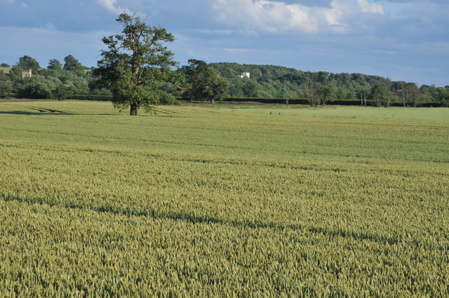
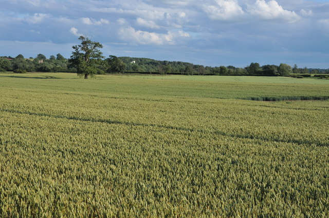
The name "Long Covert" itself refers to the extensive woodland cover that stretches across the region. The dense forest is home to a diverse range of flora and fauna, making it a haven for nature enthusiasts and wildlife lovers. Visitors can enjoy leisurely walks or adventurous hikes through the well-preserved trails, immersing themselves in the serenity of the surroundings.

The village itself is quaint and idyllic, exuding a traditional English countryside charm. It features a small cluster of cottages and houses, some of which date back several centuries, adding to the historical character of the area. The local community is close-knit and friendly, creating a warm and welcoming atmosphere for all.

Long Covert is located a short distance from larger towns, providing residents with easy access to amenities and services. The village also benefits from good transport links, allowing for convenient travel to nearby attractions and cities.

Overall, Long Covert, Worcestershire is a hidden gem within the Wood Forest. Its natural beauty, combined with its warm community spirit, makes it an ideal destination for those seeking a peaceful retreat or a glimpse into the quintessential English countryside.

If you have any feedback on the listing, please let us know in the comments section below.
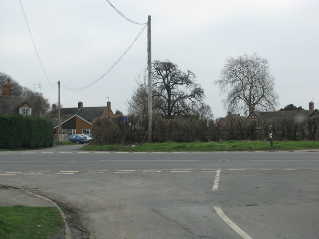
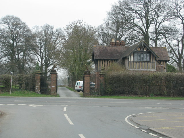
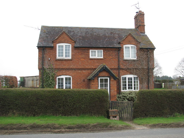
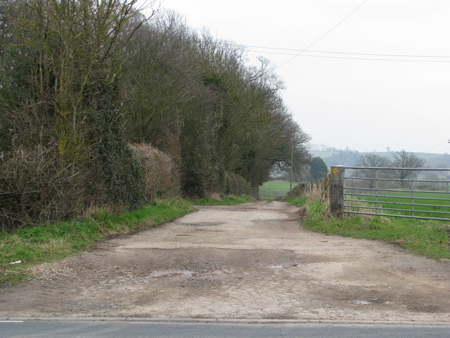
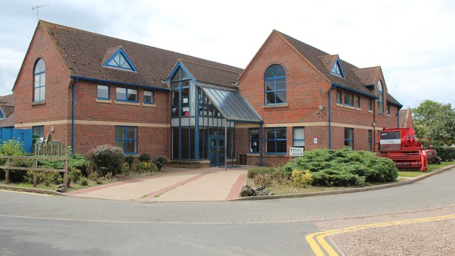
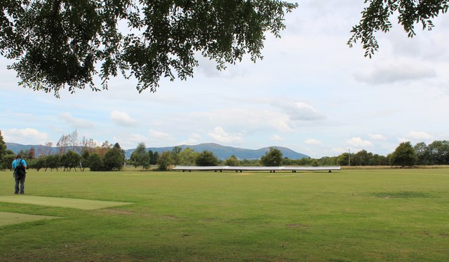
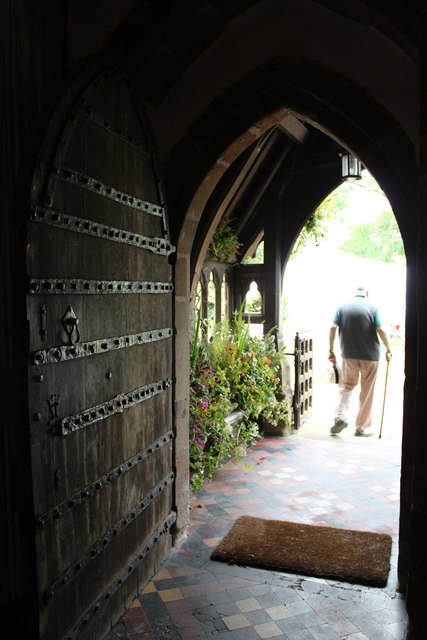
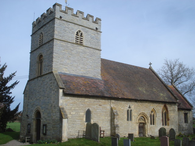
Long Covert Images

Images are sourced within 2km of 52.08522/-2.2287856 or Grid Reference SO8443. Thanks to Geograph Open Source API. All images are credited.

B4211 through Church End
Lodge to Severn End
Lodge to Severn End
Brick-built roadside house
Track down the side of Cliffey Wood
View to Severn Stoke View across a wheatfield to Severn Stoke with church tower on the left and on the wooded bank on the right Severn Bank House.  View a view of this house in winter see: <a href="https://www.geograph.org.uk/photo/2202058">SO8543 : Severn Bank House</a>
View to Severn Stoke
View across a wheatfield to Severn Stoke with church tower on the left and on the wooded bank on the right Severn Bank House. View a view of this house in winter see: SO8543 : Severn Bank House
Fields of wheat at Severn Stoke Fields of wheat growing on the floodplain near Severn Stoke.
Fields of wheat at Severn Stoke
Fields of wheat growing on the floodplain near Severn Stoke.
Cricket Pavilion, Hanley Castle The practice nets are on the left.
These allow the batsman to practice hitting the ball hard without all the inconvenience of finding the ball afterwards.
Cricket Pavilion, Hanley Castle
The practice nets are on the left. These allow the batsman to practice hitting the ball hard without all the inconvenience of finding the ball afterwards.
Hanley Castle school - sixth form centre The origins of the school date back to the 16th century if not earlier.
The buildings are of many styles as the school has grown and evolved.
They range from timber-framed to ultra-modern.
Hanley Castle school - sixth form centre
The origins of the school date back to the 16th century if not earlier. The buildings are of many styles as the school has grown and evolved. They range from timber-framed to ultra-modern.
Hanley Castle school Some of the newer buildings. 
The school dates back to at least the sixteenth century.
The school grounds were being used this day for the "Village Day".
This included many vehicles hence the combined harvester and tractor.
Hanley Castle school
Some of the newer buildings. The school dates back to at least the sixteenth century. The school grounds were being used this day for the "Village Day". This included many vehicles hence the combined harvester and tractor.
Hanley Castle cricket ground In Church End, Hanley Castle.
The Malvern hills provide the perfect backdrop.
Hanley Castle cricket ground
In Church End, Hanley Castle. The Malvern hills provide the perfect backdrop.
Doorway,St Mary's Church, Hanley Castle The north door and porch taken from just inside the church.
Doorway,St Mary's Church, Hanley Castle
The north door and porch taken from just inside the church.
Lechmere window, Hanley Castle church To the glory of God and in memory of Sir Edmund Hungerford Lechmere, baronet who died April 2nd 1856.
Edmund was born in 1792 and became 2nd Baronet of the Rhydd.
In 1852 he became the High Sheriff of Worcestershire.
Lechmere window, Hanley Castle church
To the glory of God and in memory of Sir Edmund Hungerford Lechmere, baronet who died April 2nd 1856. Edmund was born in 1792 and became 2nd Baronet of the Rhydd. In 1852 he became the High Sheriff of Worcestershire.
The Handmaids window, Hanley Castle Church "Ave Maria" "Ecce Ancilla Domini"
"Hail Mary" "Behold the Handmaid of the Lord"
The Handmaids window, Hanley Castle Church
"Ave Maria" "Ecce Ancilla Domini" "Hail Mary" "Behold the Handmaid of the Lord"
The old pump house and Gilbert's End
St Denys's Church, Severn Stoke
St Denys's Church, Severn Stoke Grade II listed Church largely C14 with C15 alterations and heavily restored in 1872 and 1890 and is part of the parish of Kempsey.
St Denys's Church, Severn Stoke
Grade II listed Church largely C14 with C15 alterations and heavily restored in 1872 and 1890 and is part of the parish of Kempsey.
The Rose & Crown, Severn Stoke
Horton Manor Farm One of four moated sites in the parish of Hanley.
It may the "Hortun" mentioned in King Edgar's tenth century charter.
Horton Manor Farm
One of four moated sites in the parish of Hanley. It may the "Hortun" mentioned in King Edgar's tenth century charter.
Show me another place!

Long Covert is located at Grid Ref: SO8443 (Lat: 52.08522, Lng: -2.2287856)

Administrative County: Worcestershire

District: Malvern Hills

Police Authority: West Mercia

What 3 Words

///plants.smuggled.daffodils. Near Upton upon Severn, Worcestershire

Related Wikis

Hanley Castle

Hanley Castle is a village and civil parish in Worcestershire, England, between the towns of Malvern and Upton upon Severn and a short distance from the...

Hanley Castle High School

Hanley Castle High School is a non-selective mixed secondary school and sixth form centre located in the village of Hanley Castle, 1.4 miles (2.2 km) from...

Hanley Castle (castle)

Hanley Castle was a Norman castle that stood to the south of the present-day site of the village of Hanley Castle, which lies 2 km north of Upton-upon...

Severn Stoke

Severn Stoke is an English village and civil parish in the Malvern Hills District, in the south of the county of Worcestershire, alongside the A38 trunk...

The Rhydd

The Rhydd (formerly Rhydd Court) is an English country house alongside the River Severn, near the village of Hanley Castle, Worcestershire, about halfway...

Battle of Upton

The Battle of Upton was fought on 28 August 1651 when a New Model Army detachment under the command of Colonel John Lambert made a surprise attack on Royalists...

Upton-upon-Severn

Upton-upon-Severn (or Upton on Severn, etc. and locally simply Upton) is a town and civil parish in the Malvern Hills District of Worcestershire, England...

Earls Croome

Earl's Croome is a village and civil parish in the Malvern Hills District in the county of Worcestershire, England. It had a population of 243 in 2021...

Nearby Amenities

Located within 500m of 52.08522,-2.2287856
Severn End
Power: pole
Transformer: distribution
Voltage Primary: 11000
Lat/Long: 52.0821186/-2.227592
Power: pole
Lat/Long: 52.0821071/-2.2286072
Power: pole
Lat/Long: 52.0819258/-2.229664
Power: pole
Lat/Long: 52.0817313/-2.230863
Power: pole
Lat/Long: 52.0815335/-2.2320673
The data included in this document is from www.openstreetmap.org. The data is made available under ODbL.

Have you been to Long Covert?

Leave your review of Long Covert below (or comments, questions and feedback).