New England Plantation

Wood, Forest in Worcestershire Malvern Hills

England

New England Plantation

B4211 through Church End
B4211 through Church End Credit: Sarah Charlesworth

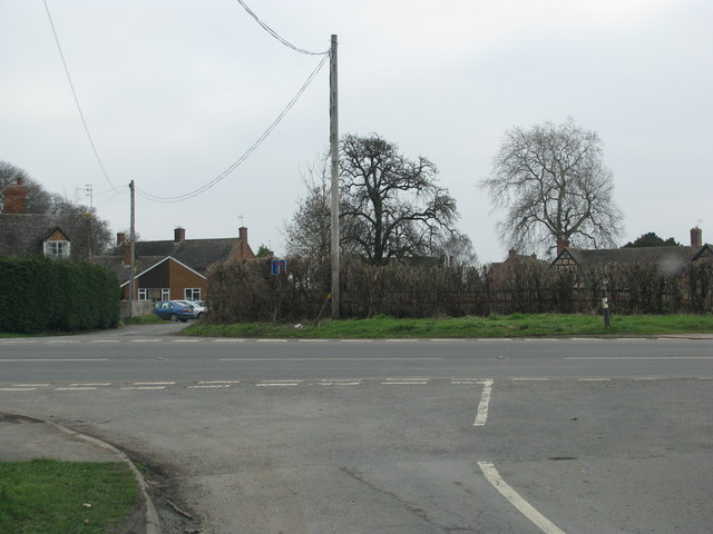
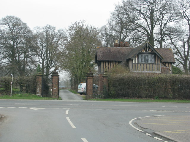
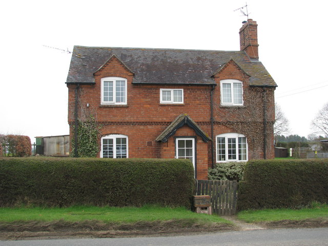
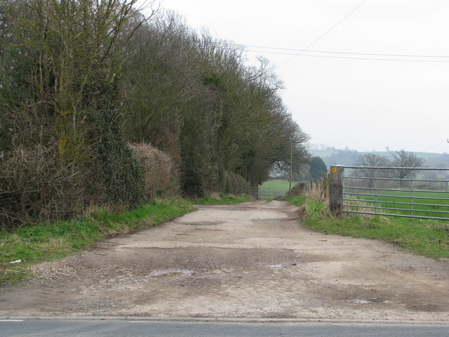
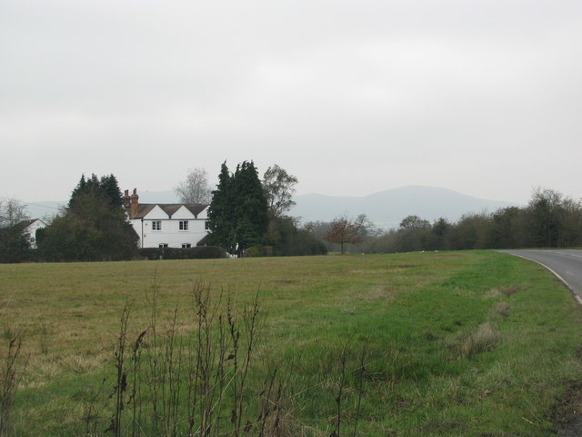
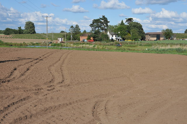
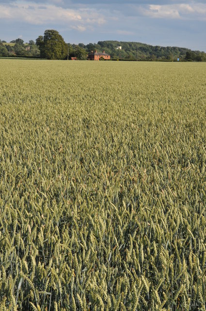
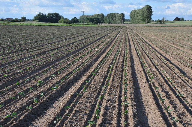
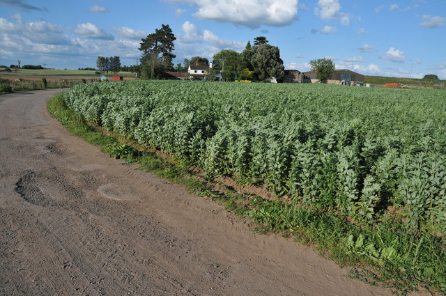
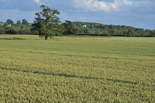
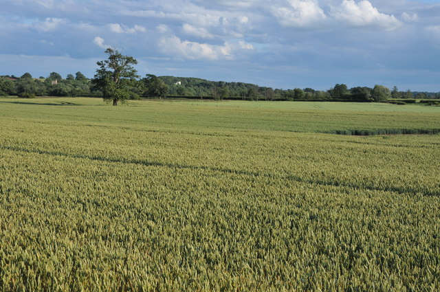
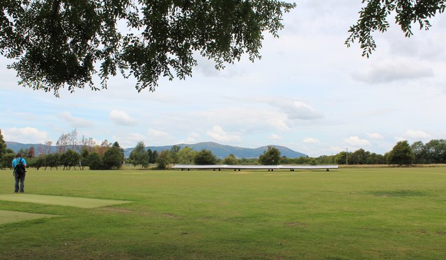
New England Plantation, Worcestershire is a charming woodland area located in the county of Worcestershire, England. Situated in the heart of the West Midlands region, this plantation spans across a vast area of lush greenery and dense forest cover. The plantation is known for its serene and tranquil atmosphere, making it a popular destination for nature lovers and outdoor enthusiasts.

The woodland of New England Plantation is home to a rich variety of plant and animal species, making it a haven for biodiversity. Towering oak and beech trees dominate the landscape, creating a picturesque scenery that changes with the seasons. The forest floor is carpeted with an array of wildflowers, adding bursts of color to the surroundings.

Visitors to New England Plantation can explore its numerous walking trails and paths that wind through the woods, allowing them to immerse themselves in the natural beauty of the area. The plantation also offers picnic areas and benches, providing the perfect spot for visitors to relax and enjoy the peaceful ambiance.

In addition to its natural beauty, New England Plantation also has a rich historical significance. It is believed that the area was once part of the ancient Forest of Feckenham, a royal hunting ground during medieval times. Today, remnants of this history can still be seen in the form of ancient boundary markers and the occasional sighting of deer roaming freely through the woods.

Overall, New England Plantation, Worcestershire is a remarkable destination that offers a unique blend of natural beauty and historical significance. Whether it be for a leisurely stroll, a picnic, or an opportunity to connect with nature, this woodland area is sure to captivate visitors with its charm and tranquility.

If you have any feedback on the listing, please let us know in the comments section below.

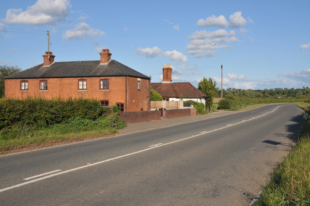
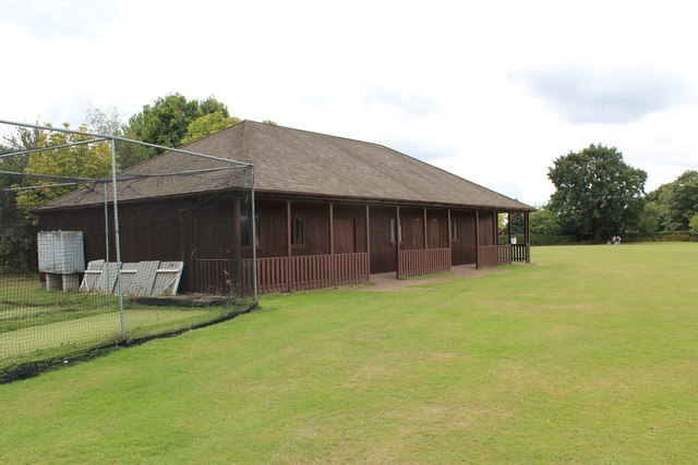
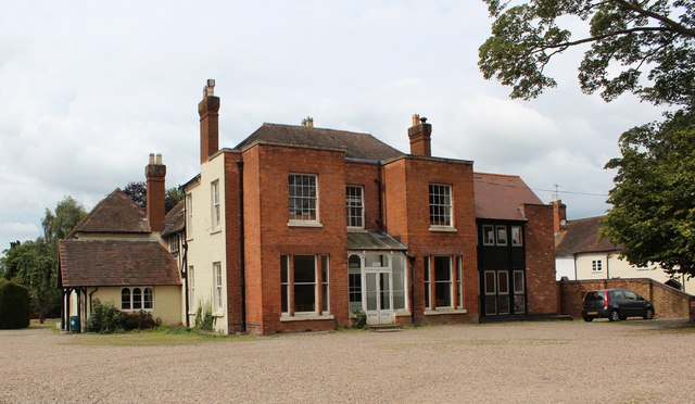
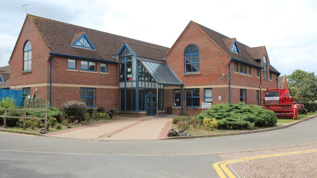
New England Plantation Images

Images are sourced within 2km of 52.0909/-2.2301283 or Grid Reference SO8443. Thanks to Geograph Open Source API. All images are credited.

B4211 through Church End
Lodge to Severn End
Lodge to Severn End
Brick-built roadside house
Track down the side of Cliffey Wood
Field by the white house near Rhydd
Sandford Villa Farm Sandford Villa Farm near Severn Stoke viewed from the A38.
Sandford Villa Farm
Sandford Villa Farm near Severn Stoke viewed from the A38.
The A38 near Severn Stoke A road sign on the A38 north of Severn Stoke indicates the road to Sheepcote.
The A38 near Severn Stoke
A road sign on the A38 north of Severn Stoke indicates the road to Sheepcote.
Field of wheat near Severn Stoke View over a field of wheat towards Severn Stoke, the church tower can be seen in the distance on the left and the white building on the wooded bank is a country house called Severn Bank. See: <a href="https://www.geograph.org.uk/photo/2202058">SO8543 : Severn Bank House</a>
Field of wheat near Severn Stoke
View over a field of wheat towards Severn Stoke, the church tower can be seen in the distance on the left and the white building on the wooded bank is a country house called Severn Bank. See: SO8543 : Severn Bank House
Field of cabbages Field of young cabbage plants at Sandford Villa Farm near Severn Stoke.
Field of cabbages
Field of young cabbage plants at Sandford Villa Farm near Severn Stoke.
Sandford Villa Farm Sandford Villa Farm with a field of broad beans in the foreground.
Sandford Villa Farm
Sandford Villa Farm with a field of broad beans in the foreground.
View to Severn Stoke View across a wheatfield to Severn Stoke with church tower on the left and on the wooded bank on the right Severn Bank House.  View a view of this house in winter see: <a href="https://www.geograph.org.uk/photo/2202058">SO8543 : Severn Bank House</a>
View to Severn Stoke
View across a wheatfield to Severn Stoke with church tower on the left and on the wooded bank on the right Severn Bank House. View a view of this house in winter see: SO8543 : Severn Bank House
Fields of wheat at Severn Stoke Fields of wheat growing on the floodplain near Severn Stoke.
Fields of wheat at Severn Stoke
Fields of wheat growing on the floodplain near Severn Stoke.
Houses beside the A38 Houses beside the A38 to the north of Severn Stoke.
Houses beside the A38
Houses beside the A38 to the north of Severn Stoke.
Cricket Pavilion, Hanley Castle The practice nets are on the left.
These allow the batsman to practice hitting the ball hard without all the inconvenience of finding the ball afterwards.
Cricket Pavilion, Hanley Castle
The practice nets are on the left. These allow the batsman to practice hitting the ball hard without all the inconvenience of finding the ball afterwards.
Hanley Castle school - sixth form centre The origins of the school date back to the 16th century if not earlier.
The buildings are of many styles as the school has grown and evolved.
They range from timber-framed to ultra-modern.
Hanley Castle school - sixth form centre
The origins of the school date back to the 16th century if not earlier. The buildings are of many styles as the school has grown and evolved. They range from timber-framed to ultra-modern.
Hanley Castle school Some of the newer buildings. 
The school dates back to at least the sixteenth century.
The school grounds were being used this day for the "Village Day".
This included many vehicles hence the combined harvester and tractor.
Hanley Castle school
Some of the newer buildings. The school dates back to at least the sixteenth century. The school grounds were being used this day for the "Village Day". This included many vehicles hence the combined harvester and tractor.
Hanley Castle cricket ground In Church End, Hanley Castle.
The Malvern hills provide the perfect backdrop.
Hanley Castle cricket ground
In Church End, Hanley Castle. The Malvern hills provide the perfect backdrop.
Doorway,St Mary's Church, Hanley Castle The north door and porch taken from just inside the church.
Doorway,St Mary's Church, Hanley Castle
The north door and porch taken from just inside the church.
Show me another place!

New England Plantation is located at Grid Ref: SO8443 (Lat: 52.0909, Lng: -2.2301283)

Administrative County: Worcestershire

District: Malvern Hills

Police Authority: West Mercia

What 3 Words

///poet.handbags.outboard. Near Upton upon Severn, Worcestershire

Related Wikis

Hanley Castle

Hanley Castle is a village and civil parish in Worcestershire, England, between the towns of Malvern and Upton upon Severn and a short distance from the...

Severn Stoke

Severn Stoke is an English village and civil parish in the Malvern Hills District, in the south of the county of Worcestershire, alongside the A38 trunk...

The Rhydd

The Rhydd (formerly Rhydd Court) is an English country house alongside the River Severn, near the village of Hanley Castle, Worcestershire, about halfway...

Hanley Castle High School

Hanley Castle High School is a non-selective mixed secondary school and sixth form centre located in the village of Hanley Castle, 1.4 miles (2.2 km) from...

Hanley Castle (castle)

Hanley Castle was a Norman castle that stood to the south of the present-day site of the village of Hanley Castle, which lies 2 km north of Upton-upon...

Clifton, Worcestershire

Clifton is a village in Worcestershire, England.

Battle of Upton

The Battle of Upton was fought on 28 August 1651 when a New Model Army detachment under the command of Colonel John Lambert made a surprise attack on Royalists...

British National Fencing Museum

The British National Fencing Museum is the national museum for Great Britain for the sport and martial art of fencing.The museum opened during the year...

Nearby Amenities

Located within 500m of 52.0909,-2.2301283
Northfield Farm
Power: pole
Transformer: distribution
Voltage Primary: 11000
Lat/Long: 52.0925314/-2.2346503
Power: pole
Lat/Long: 52.0926237/-2.2357754
The data included in this document is from www.openstreetmap.org. The data is made available under ODbL.

Have you been to New England Plantation?

Leave your review of New England Plantation below (or comments, questions and feedback).