Pie Rough

Wood, Forest in Staffordshire Newcastle-under-Lyme

England

Pie Rough

All Bowls A pleasant afternoon bowling in Newcastle under Lyme
All Bowls Credit: Andy and Hilary

Pie Rough is a picturesque woodland area located in the county of Staffordshire, England. Situated in the heart of the Staffordshire Moorlands, the woodland encompasses an area of approximately 200 acres. It is renowned for its natural beauty and rich biodiversity, attracting nature enthusiasts and outdoor enthusiasts alike.

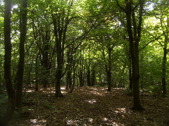
The woodland is predominantly composed of ancient oak trees, which tower above the forest floor, creating a dense canopy that provides a habitat for a diverse range of flora and fauna. The forest floor is adorned with a carpet of bluebells during the springtime, creating a stunning display of color and fragrance.

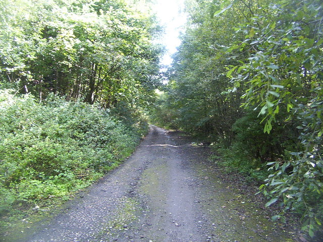
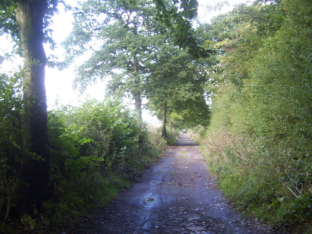
Pie Rough is crisscrossed by a network of footpaths and trails, allowing visitors to explore the woodland at their own pace. These paths wind through the trees, leading to hidden clearings and secluded spots, perfect for a peaceful picnic or nature observation. The woodland is also home to a variety of wildlife, including deer, foxes, badgers, and a plethora of bird species.

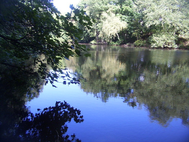
For those seeking a more adventurous experience, there are opportunities for camping and bushcraft activities within Pie Rough. The forest provides an ideal setting for outdoor pursuits such as orienteering, archery, and tree climbing. Additionally, the nearby River Churnet offers opportunities for canoeing and fishing.

Pie Rough is a haven for nature lovers and a place where visitors can immerse themselves in the tranquility of the Staffordshire countryside. Whether it's a leisurely stroll through the woods or an adrenaline-fueled adventure, this woodland offers something for everyone.

If you have any feedback on the listing, please let us know in the comments section below.
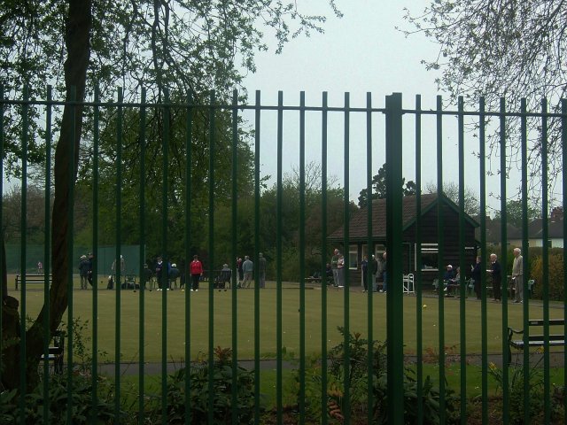
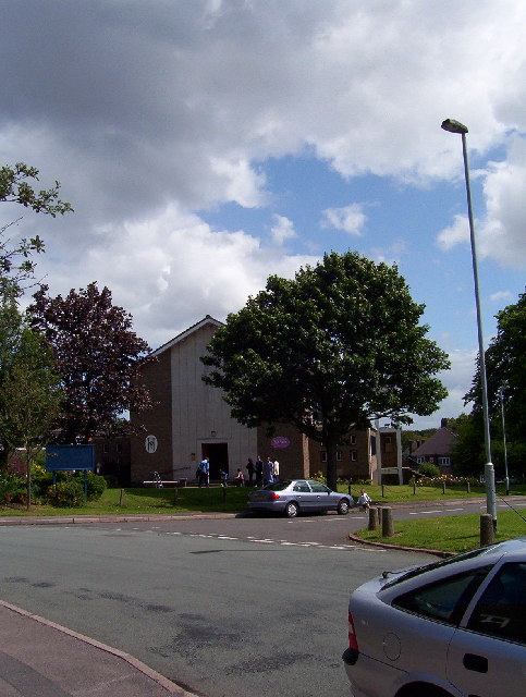
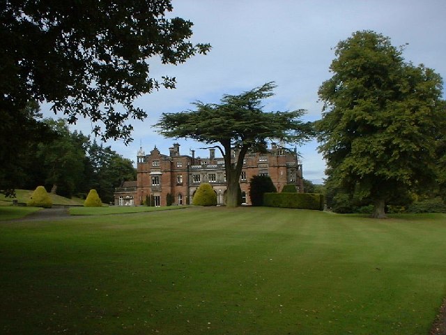
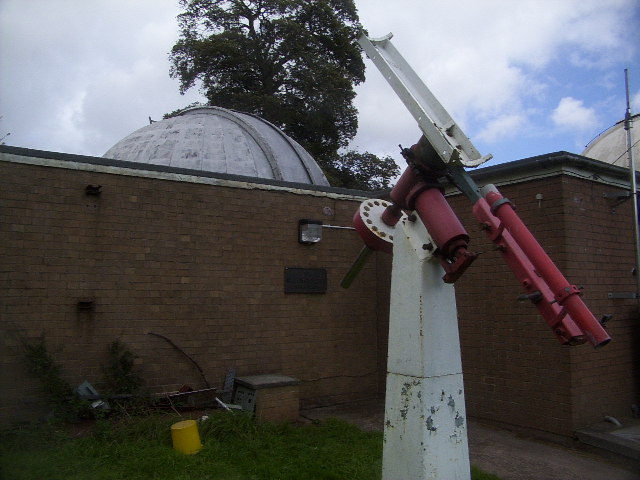
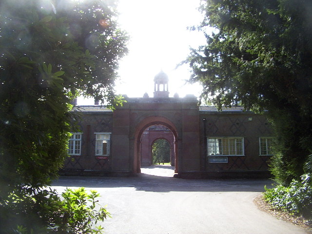
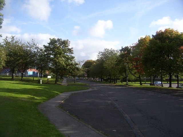
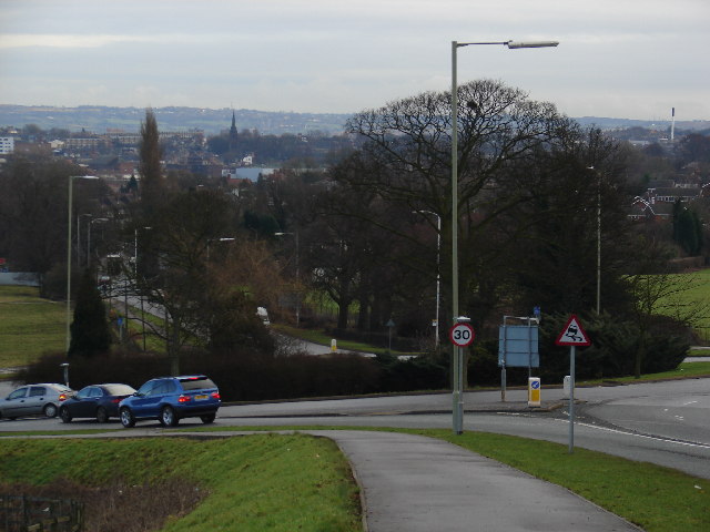
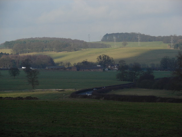
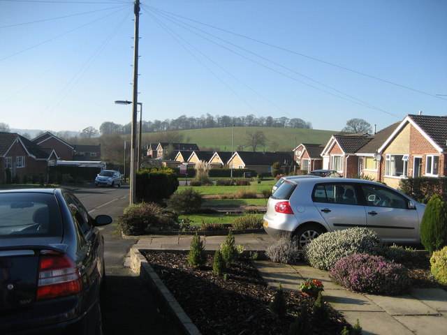
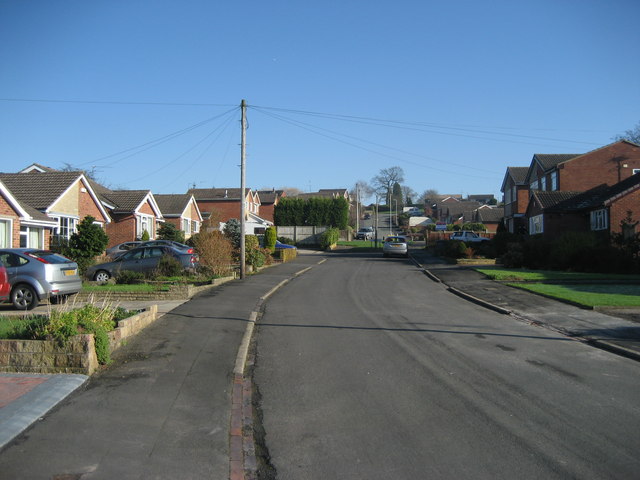
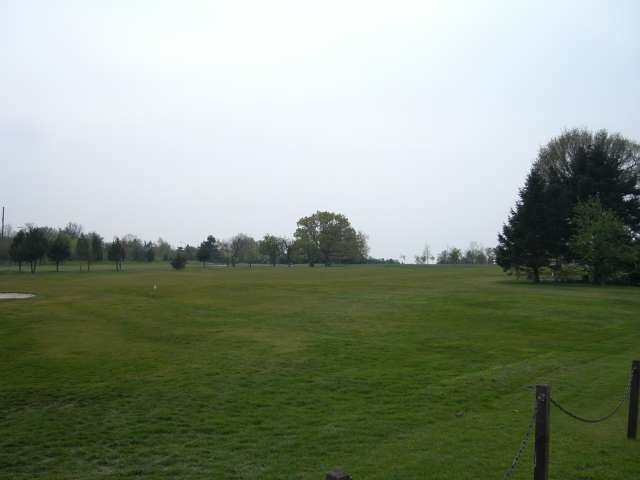
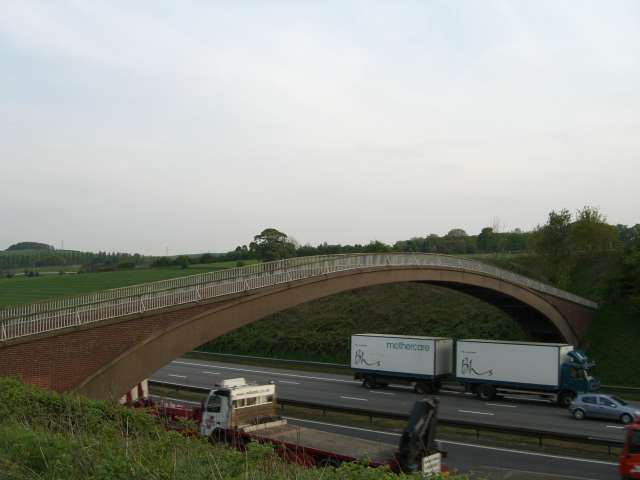
Pie Rough Images

Images are sourced within 2km of 52.994303/-2.2557054 or Grid Reference SJ8244. Thanks to Geograph Open Source API. All images are credited.

All Bowls A pleasant afternoon bowling in Newcastle under Lyme
All Bowls
A pleasant afternoon bowling in Newcastle under Lyme
St. Andrew's Church in the Westlands Situated at the top of Pilkington Avenue on the north side of the square
St. Andrew's Church in the Westlands
Situated at the top of Pilkington Avenue on the north side of the square
Keele Hall, Keele This historic house now forms part of the campus of the University of Keele. Some of the grounds of the house still also survive.
Keele Hall, Keele
This historic house now forms part of the campus of the University of Keele. Some of the grounds of the house still also survive.
Keele University Observatory The University observatory houses a 60cm telescope. Here a mount for another telescope can be seen in the foreground.
Keele University Observatory
The University observatory houses a 60cm telescope. Here a mount for another telescope can be seen in the foreground.
Woods near Keele University An early autumn day in the woods near Keele University. A lot of this square is open woodland that used to form the grounds of Keele Hall. Since the University took over the Hall and its 617 acre grounds, this area is now public access, with many footpaths among the trees and ponds.
Woods near Keele University
An early autumn day in the woods near Keele University. A lot of this square is open woodland that used to form the grounds of Keele Hall. Since the University took over the Hall and its 617 acre grounds, this area is now public access, with many footpaths among the trees and ponds.
Pool near Keele Hall This is the lowermost of the ponds that extend south-east from Keele Hall <a href="https://www.geograph.org.uk/photo/14295">SJ8144 : Keele Hall, Keele</a> towards Springpool Wood. There are many possible walks around the area.
Pool near Keele Hall
This is the lowermost of the ponds that extend south-east from Keele Hall SJ8144 : Keele Hall, Keele towards Springpool Wood. There are many possible walks around the area.
The Lymes Road According to the 1940s map, this was originally a B-road, leading down to The Lymes, also in this square. Now it is only a loose-cobbled track running between Keele village and The Lymes. It also serves as a bridleway. Here is it seen just before it passes underneath the M6, which it now runs next to.
The Lymes Road
According to the 1940s map, this was originally a B-road, leading down to The Lymes, also in this square. Now it is only a loose-cobbled track running between Keele village and The Lymes. It also serves as a bridleway. Here is it seen just before it passes underneath the M6, which it now runs next to.
The Lymes Road More of The Lymes Road (see <a href="https://www.geograph.org.uk/gridref/SJ8243">SJ8243</a>), which runs between Keele village and The Lymes farm.
The Lymes Road
More of The Lymes Road (see SJ8243), which runs between Keele village and The Lymes farm.
The Clock House The Clock House, part of Keele University. It also houses the Music Department and has an attractive rock-cutting entrance.
The Clock House
The Clock House, part of Keele University. It also houses the Music Department and has an attractive rock-cutting entrance.
Keele University Campus Part of Keele University Campus, near Barnes Hall. This is effectively the "main street" of Keele Campus, which continues east into the next square.
Keele University Campus
Part of Keele University Campus, near Barnes Hall. This is effectively the "main street" of Keele Campus, which continues east into the next square.
Roundabout on the A525 Not very many interesting things in this square, in my opinion! I figured this view down the A525 towards Newcastle-under-Lyme and Stoke is worth showing, though.
Roundabout on the A525
Not very many interesting things in this square, in my opinion! I figured this view down the A525 towards Newcastle-under-Lyme and Stoke is worth showing, though.
Green Fields near The Lymes Looking down over some very "English" green fields over the A53 towards The Lymes farm from the road up to Shutlanehead. For anyone wishing to travel along the track from Shutlanehead to The Pleck, be warned that there's not really a track and it's pretty inaccessible at the best of times.
Green Fields near The Lymes
Looking down over some very "English" green fields over the A53 towards The Lymes farm from the road up to Shutlanehead. For anyone wishing to travel along the track from Shutlanehead to The Pleck, be warned that there's not really a track and it's pretty inaccessible at the best of times.
Kennet  Close Newcastle-under-Lyme Looking down the road towards Rowley Wood.
Kennet Close Newcastle-under-Lyme
Looking down the road towards Rowley Wood.
Kennet Close looking in the other direction from picture <a href="https://www.geograph.org.uk/photo/327505">SJ8443 : Kennet  Close Newcastle-under-Lyme</a>
Kennet Close
looking in the other direction from picture SJ8443 : Kennet Close Newcastle-under-Lyme
Newcastle Golf Club - Clubhouse
Newcastle Golf Club View across the golf course from just in front of the clubhouse.
Newcastle Golf Club
View across the golf course from just in front of the clubhouse.
Footbridge over the M6
Reservoir This small reservoir is in a field alongside the A534. The small wood behind it is the entertainingly named "Pie Rough".
Reservoir
This small reservoir is in a field alongside the A534. The small wood behind it is the entertainingly named "Pie Rough".
Show me another place!

Pie Rough is located at Grid Ref: SJ8244 (Lat: 52.994303, Lng: -2.2557054)

Administrative County: Staffordshire

District: Newcastle-under-Lyme

Police Authority: Staffordshire

What 3 Words

///breed.poems.locker. Near Newcastle under Lyme, Staffordshire

Related Wikis

Seabridge

Seabridge is a suburb of Newcastle-under-Lyme in Staffordshire, England. The origin of the name "Seabridge" is unknown as it is situated in the midlands...

Keele Hall

Keele Hall is a 19th-century mansion house at Keele, Staffordshire, England, now standing on the campus of Keele University and serving as the university...

Thistleberry (ward)

Thistleberry is a ward of the Borough of Newcastle-under-Lyme, located west of Newcastle town centre, in the county of Staffordshire, England. In 2021...

Newcastle Academy

Newcastle Academy is a mixed secondary school located in Newcastle-under-Lyme in the English county of Staffordshire.Previously known as Sneyd High School...

Keele (ward)

Keele Ward is a local council ward in the borough of Newcastle-under-Lyme. It covers the village of Keele and the neighbouring University of Keele's campus...

Westlands, Staffordshire

Westlands is a suburban area and ward in Newcastle-under-Lyme, Staffordshire. == Religion == The Church in the Westlands is a local ecumenical partnership...

Keele University Science & Business Park

Keele University Science and Innovation Park is a science and business development facility located on the campus of Keele University in North Staffordshire...

Keele University

Keele University, officially known as the University of Keele, is a public research university in Keele, approximately three miles (five kilometres) from...

Nearby Amenities

Located within 500m of 52.994303,-2.2557054
Bus Stop
Seabridge Lane
Bus: yes
Naptan AtcoCode: 3800C597301
Naptan Bearing: SW
Naptan CommonName: Seabridge Lane
Naptan Indicator: Adj
Naptan Landmark: Seabridge Lane
Naptan PlusbusZoneRef: STOKEOT
Naptan Street: Whitmore Road
Naptan Verified: no
Public Transport: platform
Source: naptan_import
Lat/Long: 52.9910646/-2.2522039
Bus Stop
Seabridge Lane
Bus: yes
Naptan AtcoCode: 3800C597302
Naptan Bearing: NE
Naptan CommonName: Seabridge Lane
Naptan Indicator: Opp
Naptan Landmark: Seabridge Lane
Naptan PlusbusZoneRef: STOKEOT
Naptan Street: Whitmore Road
Naptan Verified: no
Public Transport: platform
Source: naptan_import
Lat/Long: 52.9918486/-2.2512848
Source: landsat
Lat/Long: 52.994913/-2.2570975
Source: gps_tracks
Lat/Long: 52.9919177/-2.2510194
Source: gps_tracks
Lat/Long: 52.9925092/-2.2496629
Source: gps_tracks
Lat/Long: 52.9924175/-2.2498637
Source: gps_tracks
Lat/Long: 52.9923077/-2.2500669
Source: gps_tracks
Lat/Long: 52.9922146/-2.2501755
Source: gps_tracks
Lat/Long: 52.9921326/-2.2502309
Source: gps_tracks
Lat/Long: 52.9920367/-2.2502632
Source: gps_tracks
Lat/Long: 52.9919269/-2.2502263
Source: gps_tracks
Lat/Long: 52.9918602/-2.2501293
Source: gps_tracks
Lat/Long: 52.991774/-2.2499884
Source: gps_tracks
Lat/Long: 52.9916947/-2.2498684
Source: gps_tracks
Lat/Long: 52.991635/-2.2498383
Source: gps_tracks
Lat/Long: 52.9915252/-2.2498499
Source: gps_tracks
Lat/Long: 52.9914915/-2.2498723
Source: gps_tracks
Lat/Long: 52.9932227/-2.2485288
Source: gps_tracks
Lat/Long: 52.992961/-2.2490163
Source: gps_tracks
Lat/Long: 52.9928122/-2.2492172
Source: gps_tracks
Lat/Long: 52.9926204/-2.2494042
Source: gps_tracks
Lat/Long: 52.9905356/-2.2519611
Source: gps_tracks
Lat/Long: 52.9905766/-2.2518933
Source: gps_tracks
Lat/Long: 52.9907581/-2.2516933
Source: gps_tracks
Lat/Long: 52.9908928/-2.2515768
Source: gps_tracks
Lat/Long: 52.9909875/-2.2514266
Source: gps_tracks
Lat/Long: 52.9912837/-2.2510304
Source: gps_tracks
Lat/Long: 52.9913458/-2.2509761
Source: gps_tracks
Lat/Long: 52.9914253/-2.2509869
Source: gps_tracks
Lat/Long: 52.9915669/-2.2509652
Source: gps_tracks
Lat/Long: 52.9916954/-2.250958
Source: gps_tracks
Lat/Long: 52.9917411/-2.2509254
Source: gps_tracks
Lat/Long: 52.9918222/-2.2508202
Source: gps_tracks
Lat/Long: 52.9913206/-2.2509981
Source: gps_tracks
Lat/Long: 52.9912245/-2.2506954
Power: tower
Source: Bing
Lat/Long: 52.989889/-2.2558358
Power: tower
Lat/Long: 52.9962442/-2.257546
Power: tower
Lat/Long: 52.9910489/-2.2577499
Power: tower
Lat/Long: 52.9932116/-2.2576635
Keele University Solar Farm
Generator Method: photovoltaic
Generator Output Electricity: yes
Generator Source: solar
Generator Type: solar_photovoltaic_panel
Note: Area of generation needs survey. Rough location observed from M6 drive-by in Nov 2021
Power: generator
Lat/Long: 52.993013/-2.2605765
Keele University Wind Turbine
Capacity: 0.85 MW
Generator Method: wind_turbine
Generator Source: wind
Note: Locations are approximate
Power: generator
Lat/Long: 52.9969585/-2.2596538
Keele University Wind Turbine
Capacity: 0.85 MW
Generator Method: wind_turbine
Generator Source: wind
Note: Locations are approximate
Power: generator
Lat/Long: 52.9937363/-2.2608876
The data included in this document is from www.openstreetmap.org. The data is made available under ODbL.

Have you been to Pie Rough?

Leave your review of Pie Rough below (or comments, questions and feedback).