Springpool Wood
Wood, Forest in Staffordshire Newcastle-under-Lyme
England
Springpool Wood
Springpool Wood is a picturesque woodland located in Staffordshire, England. Covering an area of approximately 50 acres, this enchanting forest is a haven for nature enthusiasts and offers a serene escape from the bustling city life.
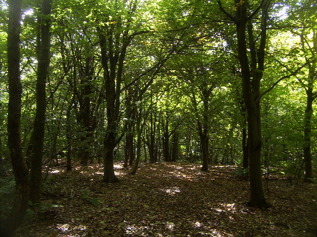
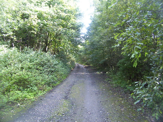
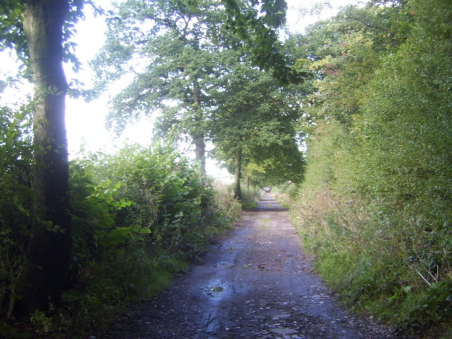
The wood is characterized by its diverse range of tree species, including oak, beech, and birch. The towering trees create a dense canopy, allowing only dappled sunlight to filter through, adding to the ethereal atmosphere of the wood. The forest floor is blanketed with an array of wildflowers, ferns, and mosses, creating a rich and colorful tapestry.
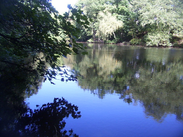
A network of well-maintained trails meander through Springpool Wood, allowing visitors to explore its natural beauty. The paths wind around ancient trees, bubbling streams, and small ponds, providing a tranquil setting for a leisurely stroll or a peaceful picnic.
The wood is teeming with wildlife, making it a popular spot for birdwatchers and wildlife enthusiasts. Visitors may catch a glimpse of rare species such as the lesser spotted woodpecker or the elusive tawny owl. The forest is also home to a variety of mammals, including deer, foxes, and badgers, adding to the enchantment of the wood.
Springpool Wood is managed by a dedicated team of conservationists who strive to maintain its natural integrity and protect its inhabitants. The wood is open to the public year-round, and visitors are encouraged to enjoy its beauty while respecting its delicate ecosystem.
Overall, Springpool Wood in Staffordshire offers a serene and enchanting experience for nature lovers, providing a respite from the hustle and bustle of everyday life.
If you have any feedback on the listing, please let us know in the comments section below.
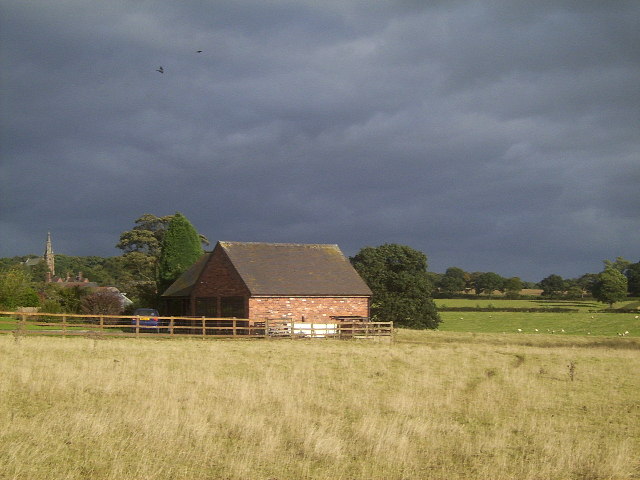
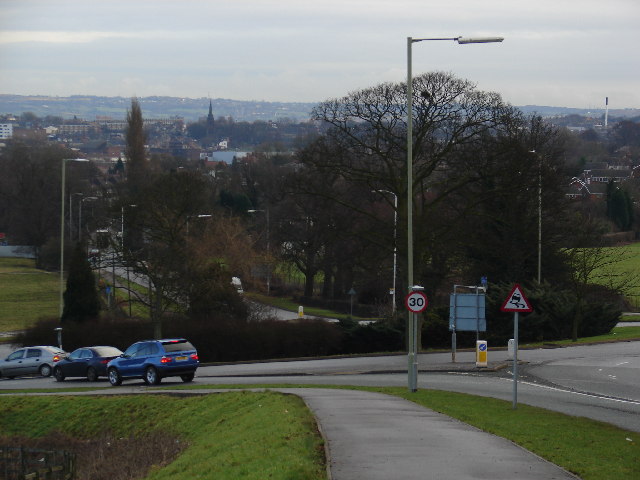
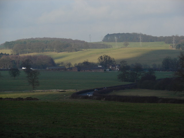
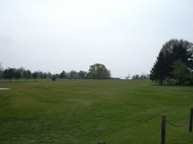
Springpool Wood Images
Images are sourced within 2km of 52.998134/-2.267186 or Grid Reference SJ8244. Thanks to Geograph Open Source API. All images are credited.


Springpool Wood is located at Grid Ref: SJ8244 (Lat: 52.998134, Lng: -2.267186)
Administrative County: Staffordshire
District: Newcastle-under-Lyme
Police Authority: Staffordshire
What 3 Words
///fits.king.engine. Near Keele, Staffordshire
Related Wikis

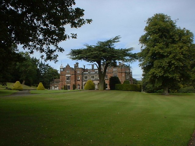
Keele Hall
Keele Hall is a 19th-century mansion house at Keele, Staffordshire, England, now standing on the campus of Keele University and serving as the university...

Keele (ward)
Keele Ward is a local council ward in the borough of Newcastle-under-Lyme. It covers the village of Keele and the neighbouring University of Keele's campus...

Keele University Science & Business Park
Keele University Science and Innovation Park is a science and business development facility located on the campus of Keele University in North Staffordshire...
Keele University
Keele University, officially known as the University of Keele, is a public research university in Keele, approximately three miles (five kilometres) from...

Keele University School of Medicine
Keele University School of Medicine is a medical school located in Newcastle-under-Lyme and Shrewsbury. The first two years of the school's MBChB degree...

Keele
Keele is a village and civil parish in the Borough of Newcastle-under-Lyme in Staffordshire, England. It is approximately 3 miles (4.8 km) west of Newcastle...
Newcastle Academy
Newcastle Academy is a mixed secondary school located in Newcastle-under-Lyme in the English county of Staffordshire.Previously known as Sneyd High School...
Thistleberry (ward)
Thistleberry is a ward of the Borough of Newcastle-under-Lyme, located west of Newcastle town centre, in the county of Staffordshire, England. In 2021...
Nearby Amenities
Located within 500m of 52.998134,-2.267186Have you been to Springpool Wood?
Leave your review of Springpool Wood below (or comments, questions and feedback).