Barker's Wood

Wood, Forest in Staffordshire Newcastle-under-Lyme

England

Barker's Wood

All Bowls A pleasant afternoon bowling in Newcastle under Lyme
All Bowls Credit: Andy and Hilary

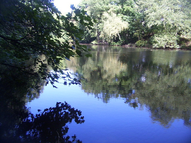
Barker's Wood is a picturesque forest located in Staffordshire, England. Covering an area of approximately 100 acres, it is a popular destination for nature enthusiasts and outdoor enthusiasts alike. The wood is situated near the town of Leek and is easily accessible by car or public transportation.

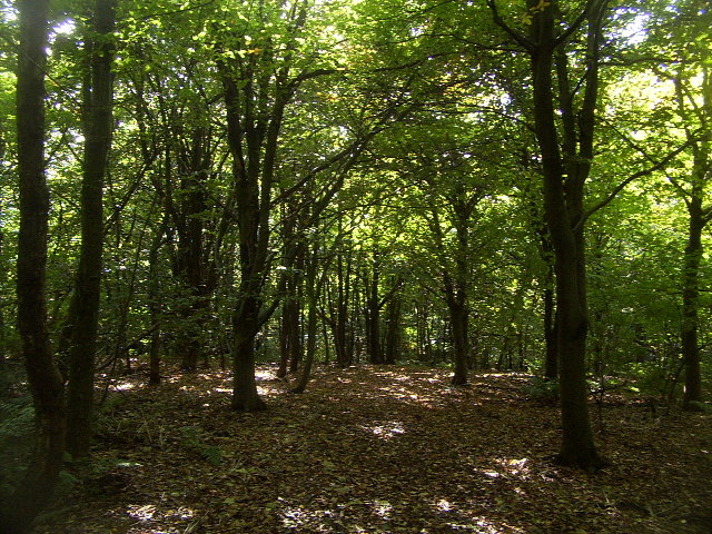
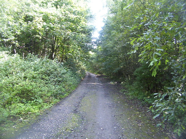
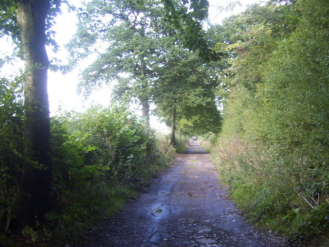
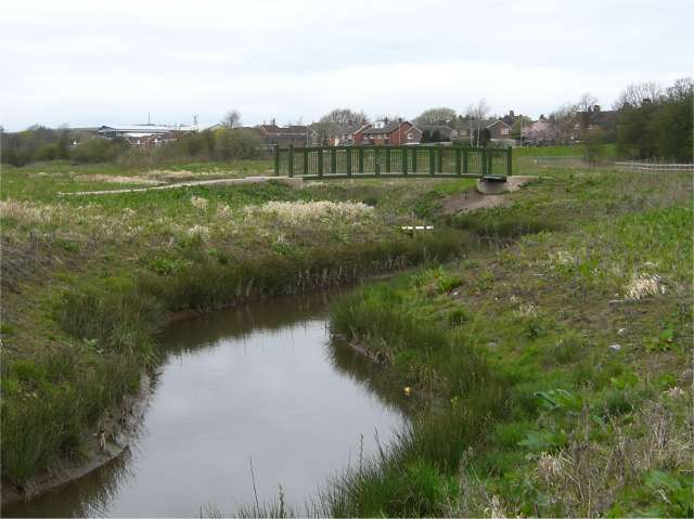
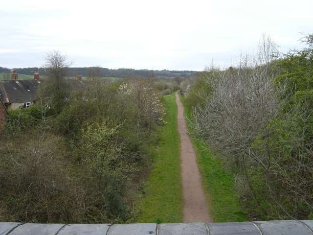
Barker's Wood is characterized by its dense canopy of trees, mainly consisting of oak, beech, and birch. The forest floor is covered with a rich carpet of woodland plants, including bluebells, wild garlic, and ferns, which add to its natural beauty. There are several well-maintained walking trails that allow visitors to explore the wood at their own pace.

The wood is home to a diverse range of wildlife, with numerous bird species such as woodpeckers, owls, and thrushes being commonly spotted. Mammals such as deer, foxes, and badgers also reside in the forest, although they may be more elusive to observe.

In addition to its natural attractions, Barker's Wood also boasts a picnic area and a children's playground, making it an ideal destination for families. The tranquil surroundings and peaceful atmosphere make it a perfect spot for a relaxing day out in nature.

Overall, Barker's Wood offers a serene and idyllic setting for nature lovers to immerse themselves in the beauty of the Staffordshire countryside. Whether it's a leisurely walk, birdwatching, or simply enjoying a picnic, this forest provides a wonderful escape from the hustle and bustle of everyday life.

If you have any feedback on the listing, please let us know in the comments section below.

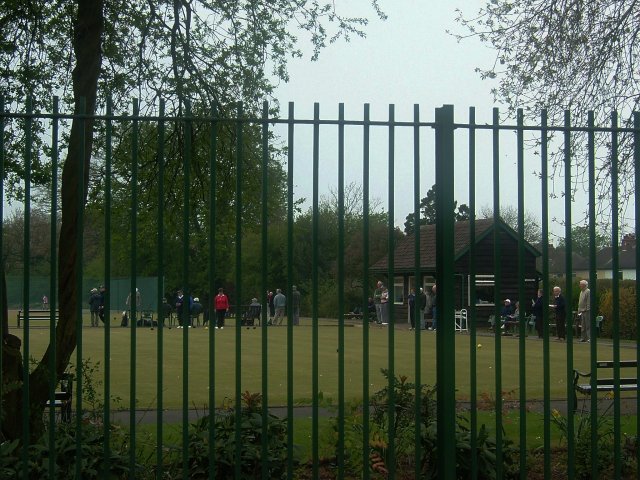
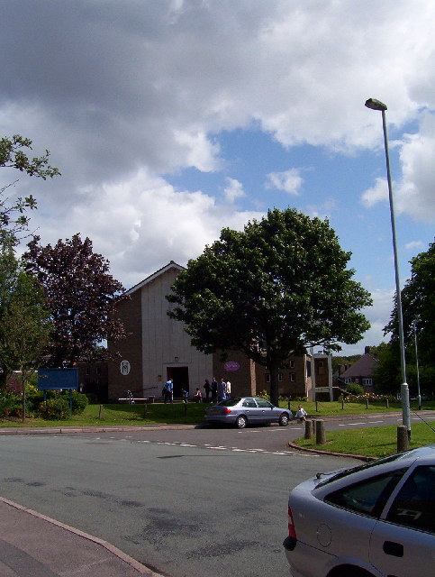
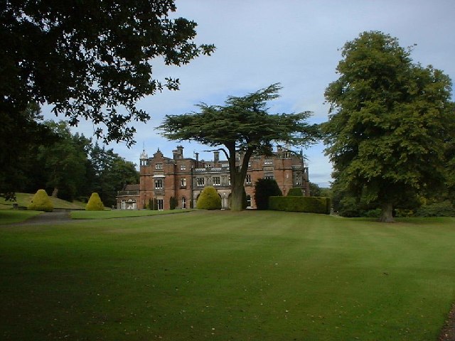
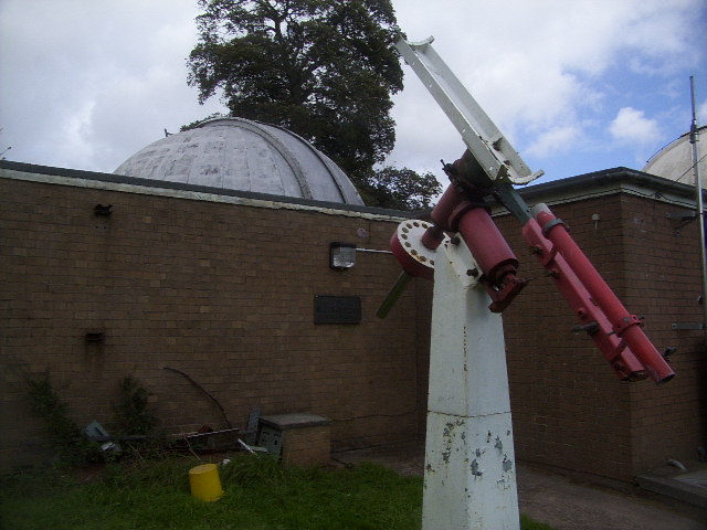
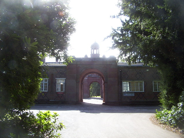
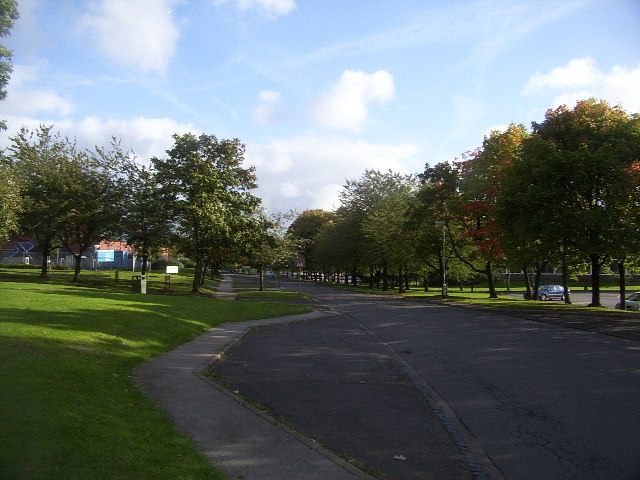
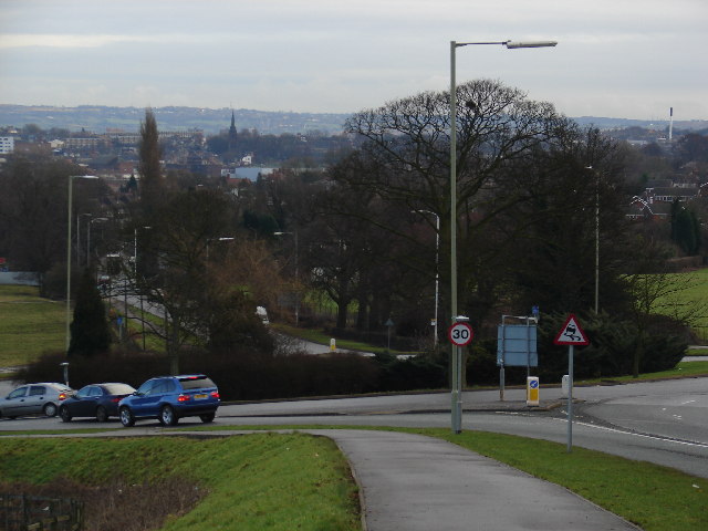
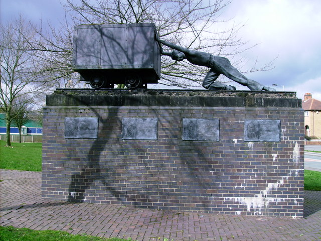
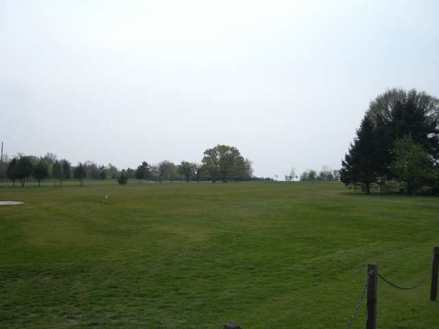
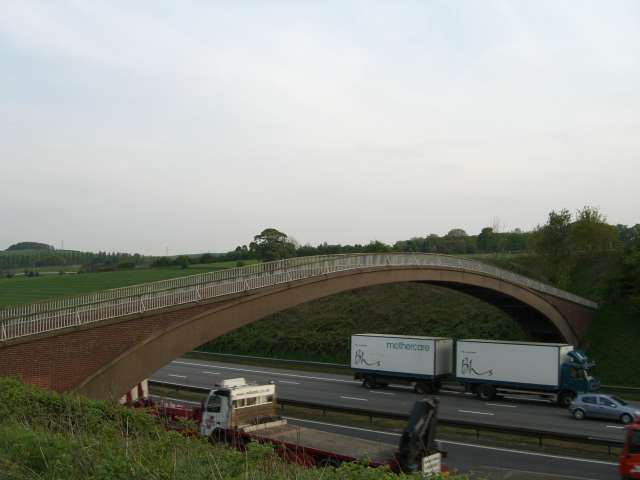
Barker's Wood Images

Images are sourced within 2km of 53.001603/-2.2597569 or Grid Reference SJ8244. Thanks to Geograph Open Source API. All images are credited.

All Bowls A pleasant afternoon bowling in Newcastle under Lyme
All Bowls
A pleasant afternoon bowling in Newcastle under Lyme
St. Andrew's Church in the Westlands Situated at the top of Pilkington Avenue on the north side of the square
St. Andrew's Church in the Westlands
Situated at the top of Pilkington Avenue on the north side of the square
Keele Hall, Keele This historic house now forms part of the campus of the University of Keele. Some of the grounds of the house still also survive.
Keele Hall, Keele
This historic house now forms part of the campus of the University of Keele. Some of the grounds of the house still also survive.
Keele University Observatory The University observatory houses a 60cm telescope. Here a mount for another telescope can be seen in the foreground.
Keele University Observatory
The University observatory houses a 60cm telescope. Here a mount for another telescope can be seen in the foreground.
Woods near Keele University An early autumn day in the woods near Keele University. A lot of this square is open woodland that used to form the grounds of Keele Hall. Since the University took over the Hall and its 617 acre grounds, this area is now public access, with many footpaths among the trees and ponds.
Woods near Keele University
An early autumn day in the woods near Keele University. A lot of this square is open woodland that used to form the grounds of Keele Hall. Since the University took over the Hall and its 617 acre grounds, this area is now public access, with many footpaths among the trees and ponds.
Pool near Keele Hall This is the lowermost of the ponds that extend south-east from Keele Hall <a href="https://www.geograph.org.uk/photo/14295">SJ8144 : Keele Hall, Keele</a> towards Springpool Wood. There are many possible walks around the area.
Pool near Keele Hall
This is the lowermost of the ponds that extend south-east from Keele Hall SJ8144 : Keele Hall, Keele towards Springpool Wood. There are many possible walks around the area.
The Lymes Road According to the 1940s map, this was originally a B-road, leading down to The Lymes, also in this square. Now it is only a loose-cobbled track running between Keele village and The Lymes. It also serves as a bridleway. Here is it seen just before it passes underneath the M6, which it now runs next to.
The Lymes Road
According to the 1940s map, this was originally a B-road, leading down to The Lymes, also in this square. Now it is only a loose-cobbled track running between Keele village and The Lymes. It also serves as a bridleway. Here is it seen just before it passes underneath the M6, which it now runs next to.
The Lymes Road More of The Lymes Road (see <a href="https://www.geograph.org.uk/gridref/SJ8243">SJ8243</a>), which runs between Keele village and The Lymes farm.
The Lymes Road
More of The Lymes Road (see SJ8243), which runs between Keele village and The Lymes farm.
The Clock House The Clock House, part of Keele University. It also houses the Music Department and has an attractive rock-cutting entrance.
The Clock House
The Clock House, part of Keele University. It also houses the Music Department and has an attractive rock-cutting entrance.
Keele University Campus Part of Keele University Campus, near Barnes Hall. This is effectively the "main street" of Keele Campus, which continues east into the next square.
Keele University Campus
Part of Keele University Campus, near Barnes Hall. This is effectively the "main street" of Keele Campus, which continues east into the next square.
Chapel, Silverdale Cemetery
Roundabout on the A525 Not very many interesting things in this square, in my opinion! I figured this view down the A525 towards Newcastle-under-Lyme and Stoke is worth showing, though.
Roundabout on the A525
Not very many interesting things in this square, in my opinion! I figured this view down the A525 towards Newcastle-under-Lyme and Stoke is worth showing, though.
One for the workers! Statue to commemorate the miners, Silverdale, Staffordshire
One for the workers!
Statue to commemorate the miners, Silverdale, Staffordshire
Footbridge over Lyme Brook There are quite a number of small streams round this area, all known locally as Lyme Brook. Most of them disappear underground fairly often so I suppose it is just possible that they are all the same stream.
Footbridge over Lyme Brook
There are quite a number of small streams round this area, all known locally as Lyme Brook. Most of them disappear underground fairly often so I suppose it is just possible that they are all the same stream.
Footpath at Knutton One of many disused railway tracks in this area now recycled as footpaths.
Footpath at Knutton
One of many disused railway tracks in this area now recycled as footpaths.
Newcastle Golf Club - Clubhouse
Newcastle Golf Club View across the golf course from just in front of the clubhouse.
Newcastle Golf Club
View across the golf course from just in front of the clubhouse.
Footbridge over the M6
Show me another place!

Barker's Wood is located at Grid Ref: SJ8244 (Lat: 53.001603, Lng: -2.2597569)

Administrative County: Staffordshire

District: Newcastle-under-Lyme

Police Authority: Staffordshire

What 3 Words

///clash.struck.cliff. Near Newcastle under Lyme, Staffordshire

Related Wikis

Keele University School of Medicine

Keele University School of Medicine is a medical school located in Newcastle-under-Lyme and Shrewsbury. The first two years of the school's MBChB degree...

Keele Hall

Keele Hall is a 19th-century mansion house at Keele, Staffordshire, England, now standing on the campus of Keele University and serving as the university...

Keele University Science & Business Park

Keele University Science and Innovation Park is a science and business development facility located on the campus of Keele University in North Staffordshire...

Keele University

Keele University, officially known as the University of Keele, is a public research university in Keele, approximately three miles (five kilometres) from...

Newcastle Academy

Newcastle Academy is a mixed secondary school located in Newcastle-under-Lyme in the English county of Staffordshire.Previously known as Sneyd High School...

Thistleberry (ward)

Thistleberry is a ward of the Borough of Newcastle-under-Lyme, located west of Newcastle town centre, in the county of Staffordshire, England. In 2021...

Keele (ward)

Keele Ward is a local council ward in the borough of Newcastle-under-Lyme. It covers the village of Keele and the neighbouring University of Keele's campus...

Silverdale, Staffordshire

Silverdale is a village and civil parish in the Borough of Newcastle-under-Lyme in Staffordshire, west of Newcastle-under-Lyme. It is a self contained...

Nearby Amenities

Located within 500m of 53.001603,-2.2597569
Source: landsat
Lat/Long: 52.9983239/-2.2614596
Source: landsat
Lat/Long: 52.9977319/-2.2616459
Source: gps_tracks
Lat/Long: 53.0013636/-2.2526217
Source: gps_tracks
Lat/Long: 53.0012497/-2.2526636
Source: gps_tracks
Lat/Long: 53.0013202/-2.2526547
Source: gps_tracks
Lat/Long: 53.0014149/-2.2525137
Power: tower
Lat/Long: 53.0014436/-2.2573797
Power: tower
Lat/Long: 52.9992048/-2.2574602
Power: tower
Lat/Long: 53.0036065/-2.2573207
Power: tower
Lat/Long: 53.0057096/-2.2572349
Crossing
Lat/Long: 53.0047041/-2.2641725
Crossing
Lat/Long: 53.0052292/-2.2628378
Bus Stop
Lat/Long: 53.00314/-2.2645038
WW2 Anti Aircraft Gun
Historic: yes
Lat/Long: 53.0038575/-2.2662239
The data included in this document is from www.openstreetmap.org. The data is made available under ODbL.

Have you been to Barker's Wood?

Leave your review of Barker's Wood below (or comments, questions and feedback).