Aitken Wood

Wood, Forest in Lancashire Pendle

England

Aitken Wood

Footpath and Stream, Barley The footpath leads onwards up Pendle Hill. The stream has some charming small waterfalls.
Footpath and Stream, Barley Credit: David Bremner

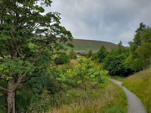
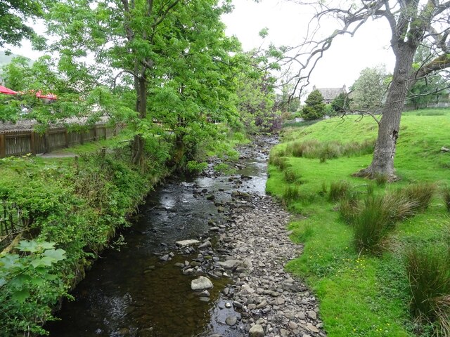
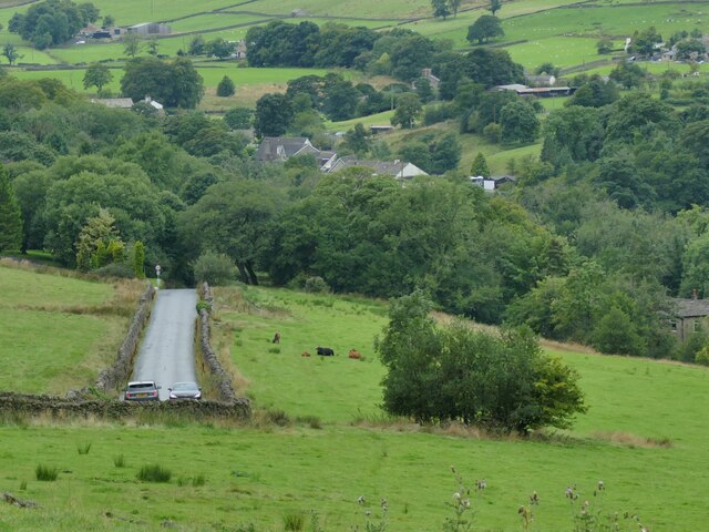
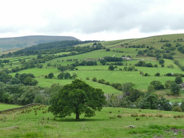
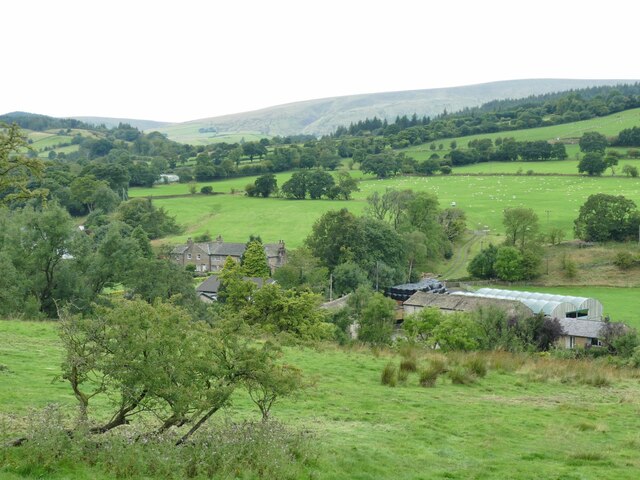
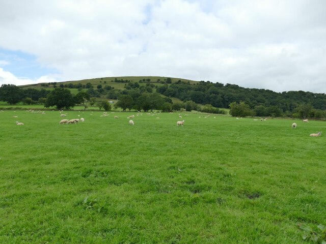
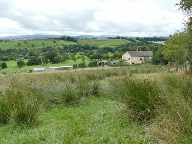
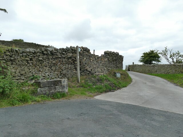
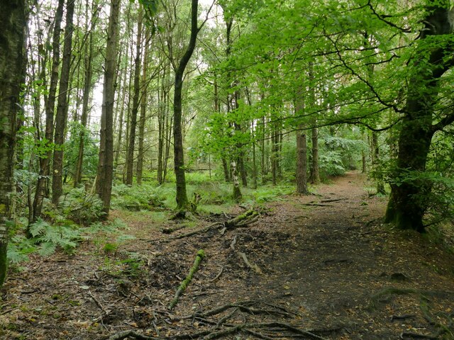
Aitken Wood is a picturesque forest located in the county of Lancashire, England. Covering an expansive area of land, it is renowned for its natural beauty and abundance of diverse flora and fauna. The wood is situated in close proximity to the charming village of Aitken, which adds to its allure and accessibility.

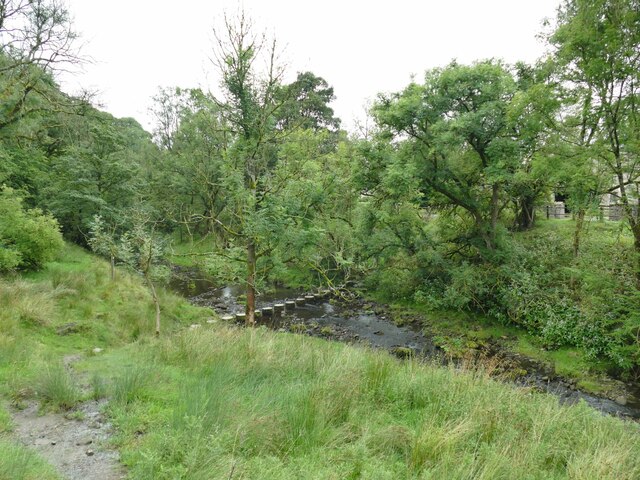
The forest is predominantly composed of deciduous trees, creating a vibrant and ever-changing landscape throughout the seasons. Towering oak, beech, and birch trees dominate the woodland, casting a majestic canopy over the forest floor. The rich variety of tree species provides a habitat for a multitude of wildlife, including deer, foxes, badgers, and a plethora of bird species.

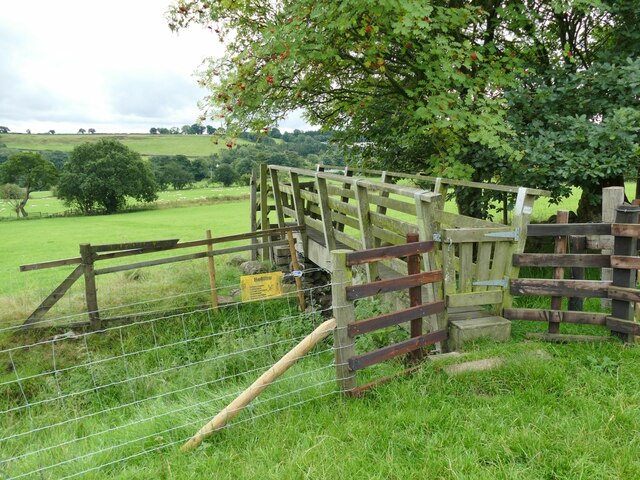
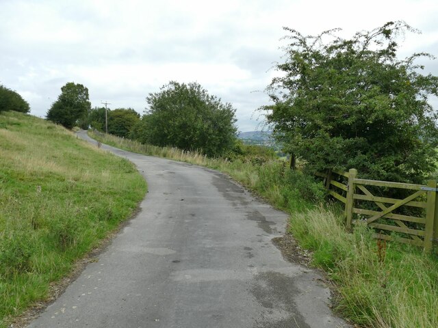
Aitken Wood offers a plethora of recreational activities for nature enthusiasts and visitors alike. Numerous walking trails and pathways wind through the forest, allowing visitors to explore its hidden corners and enjoy the tranquility of nature. The forest is also a popular spot for birdwatching, as it attracts a wide range of both resident and migratory bird species.

In addition to its natural beauty, Aitken Wood holds historical significance. It is believed that the wood has been present since medieval times, and remnants of ancient structures can still be found within its boundaries. These historical elements add a sense of mystery and intrigue to the forest, further enhancing its appeal.

Overall, Aitken Wood is a haven of tranquility and natural splendor, offering visitors a chance to escape the hustle and bustle of everyday life and immerse themselves in the beauty of nature.

If you have any feedback on the listing, please let us know in the comments section below.

Aitken Wood Images

Images are sourced within 2km of 53.863923/-2.2616527 or Grid Reference SD8240. Thanks to Geograph Open Source API. All images are credited.

Footpath and Stream, Barley The footpath leads onwards up Pendle Hill. The stream has some charming small waterfalls.
Footpath and Stream, Barley
The footpath leads onwards up Pendle Hill. The stream has some charming small waterfalls.
Set in Concrete A boot print set in the concrete. A moment captured on the footpath up Pendle Hill.
Set in Concrete
A boot print set in the concrete. A moment captured on the footpath up Pendle Hill.
A Glimpse of Pendle Hill On the footpath from Barley and a glimpse of Pendle Hill is had through the trees.
A Glimpse of Pendle Hill
On the footpath from Barley and a glimpse of Pendle Hill is had through the trees.
Barley Water, Barley Looking upstream along Barley Water from Barley Bridge, just prior to the confluence with White Hough Water.
Barley Water, Barley
Looking upstream along Barley Water from Barley Bridge, just prior to the confluence with White Hough Water.
Lower Ogden Reservoir
Pendle Inn Inn in the very popular village of Barley.
Pendle Inn
Inn in the very popular village of Barley.
Feeding sheep at dusk Low cloud is resting on Pendle Hill behind.
Feeding sheep at dusk
Low cloud is resting on Pendle Hill behind.
Back of Alice Nutter Statue The commemorative statue by David Palmer, to mark the 400th anniversary of the Pendle Witch Trials. Alice Nutter is in chains but this cloak on her back looks like an instrument of torture
Back of Alice Nutter Statue
The commemorative statue by David Palmer, to mark the 400th anniversary of the Pendle Witch Trials. Alice Nutter is in chains but this cloak on her back looks like an instrument of torture
Passing cars on Pasture Lane The hill has some steep sections and tight bends; these two cars met and passed slowly just below the upper steep section.
Passing cars on Pasture Lane
The hill has some steep sections and tight bends; these two cars met and passed slowly just below the upper steep section.
View towards Pendle from the top of Pasture Lane
Roughlee Old Hall and Farm For a closer view of the grade II listed Old Hall itself see <a href="https://www.geograph.org.uk/photo/67348">SD8440 : Roughlee - Old Hall Farm</a>.
Roughlee Old Hall and Farm
For a closer view of the grade II listed Old Hall itself see SD8440 : Roughlee - Old Hall Farm.
Roughlee stepping stones The stones are on the Pendle Way. An easy crossing in a dry summer, but Pendle Water can easily run in spate in wet weather.
Roughlee stepping stones
The stones are on the Pendle Way. An easy crossing in a dry summer, but Pendle Water can easily run in spate in wet weather.
Half a field of sheep A large field (nearly four hectares), quite densely and randomly populated with sheep. This is just part of one side. The Pendle Way passes through the field.
Half a field of sheep
A large field (nearly four hectares), quite densely and randomly populated with sheep. This is just part of one side. The Pendle Way passes through the field.
Footbridge on the Pendle Way below Croft House  It crosses a ditch between two fields, possibly the boundary between Croft House and Hollin Farm, rather than a stream.
Footbridge on the Pendle Way below Croft House
It crosses a ditch between two fields, possibly the boundary between Croft House and Hollin Farm, rather than a stream.
Wet field above Croft House  This only slightly sloping field is just below the steep side of Brown Hill, which probably explains why it is wet.
Wet field above Croft House
This only slightly sloping field is just below the steep side of Brown Hill, which probably explains why it is wet.
The road to Hollin Top A farm access road rather than a public route. The Pendle Way turns right through the gate here and down the hill.
The road to Hollin Top
A farm access road rather than a public route. The Pendle Way turns right through the gate here and down the hill.
Mounting block and signpost on Stang Top Road The signpost indicates the Pendle Way that at this point uses the road to Hollin Top farm.
Mounting block and signpost on Stang Top Road
The signpost indicates the Pendle Way that at this point uses the road to Hollin Top farm.
Pendle Way through White Hough Plantation The Pendle Way is a footpath in the South Pennines which encircles the borough of Pendle. It was officially opened in 1987. The circuit is 45 miles. Its attractions include historical associations with the seventeenth century Pendle Witches, connections with the Brontës, stonebuilt villages in the traditional style of East Lancashire and the South Pennines, relics of the weaving and lead mining industry, and limestone meadows and millstone grit moorland culminating in the ascent of Pendle Hill.
The logo is a witch on a broomstick <a href="https://www.geograph.org.uk/photo/4622234">SD8848 : Every Witch Way</a>
Pendle Way through White Hough Plantation
The Pendle Way is a footpath in the South Pennines which encircles the borough of Pendle. It was officially opened in 1987. The circuit is 45 miles. Its attractions include historical associations with the seventeenth century Pendle Witches, connections with the Brontës, stonebuilt villages in the traditional style of East Lancashire and the South Pennines, relics of the weaving and lead mining industry, and limestone meadows and millstone grit moorland culminating in the ascent of Pendle Hill. The logo is a witch on a broomstick SD8848 : Every Witch Way
Show me another place!

Aitken Wood is located at Grid Ref: SD8240 (Lat: 53.863923, Lng: -2.2616527)

Administrative County: Lancashire

District: Pendle

Police Authority: Lancashire

What 3 Words

///pulses.knocking.quote. Near Barrowford, Lancashire

Related Wikis

Black Moss Reservoirs

Upper and Lower Black Moss Reservoirs are reservoirs close to the village of Barley, in the Borough of Pendle, close to the market town of Burnley, England...

Barley, Lancashire

Barley is a village in the borough of Pendle, in Lancashire, England. It is in the civil parish of Barley-with-Wheatley Booth. The village lies between...

Barley-with-Wheatley Booth

Barley-with-Wheatley Booth is a civil parish in the Pendle district of Lancashire, England. It has a population of 298, and contains the village of Barley...

Ogden Reservoirs

Upper and Lower Ogden Reservoirs are half a mile to the west of the village of Barley, in the Borough of Pendle, England. They supply drinking water to...

St Mary's Church, Newchurch in Pendle

St Mary's Church is in the village of Newchurch in Pendle, Lancashire, England. The church is recorded in the National Heritage List for England as a...

Goldshaw Booth

Goldshaw Booth is a civil parish in the Pendle district of Lancashire, England. It has a population of 248, and contains the village of Newchurch in Pendle...

Roughlee

Roughlee is a village in the civil parish of Roughlee Booth, in the Pendle district, in the county of Lancashire, England. It is close to Nelson, Barrowford...

Roughlee Booth

Roughlee Booth is a civil parish located in Pendle, Lancashire. It is approximately 449.43 hectares in size and situated in the Forest of Bowland AONB...

Nearby Amenities

Located within 500m of 53.863923,-2.2616527
Stang Top Moor
Ele: 327
Natural: peak
Place: locality
Source: OS_OpenData_StreetView
Lat/Long: 53.8666488/-2.2569378
Height: 15
Man Made: mast
Tower Construction: freestanding
Tower Type: communication
Lat/Long: 53.8639776/-2.2644184
Barrier: stile
Material: wood
Source: survey;gps
Stile: stepover
Lat/Long: 53.862183/-2.2557439
Barrier: stile
Material: wood
Source: survey;gps
Stile: stepover
Lat/Long: 53.8621278/-2.2558426
The data included in this document is from www.openstreetmap.org. The data is made available under ODbL.

Have you been to Aitken Wood?

Leave your review of Aitken Wood below (or comments, questions and feedback).