Birch Coppice
Wood, Forest in Cheshire
England
Birch Coppice
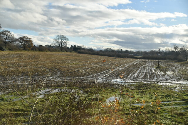
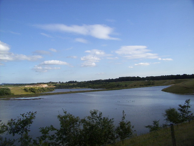
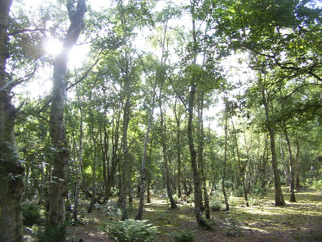
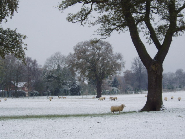
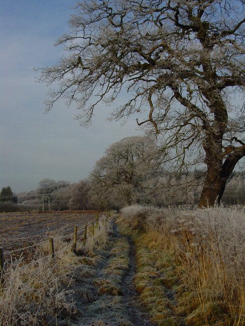
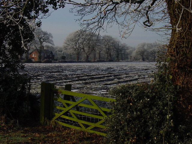
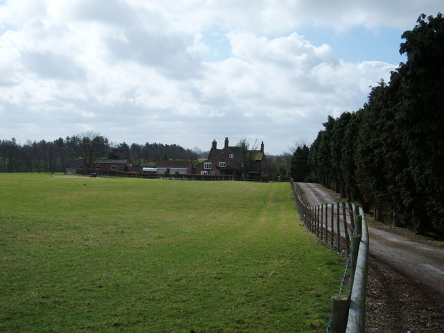
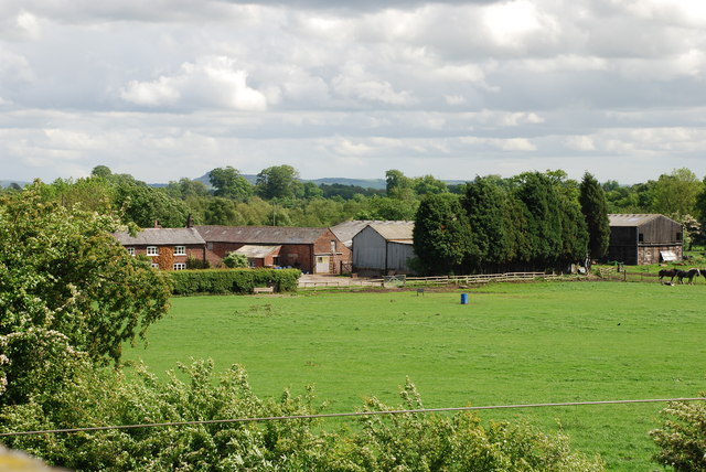
Birch Coppice, located in Cheshire, is a picturesque woodland area known for its abundant birch trees. Covering an area of approximately 100 acres, the forest is a popular destination for nature lovers and outdoor enthusiasts. The woodland is characterized by its dense foliage, with tall and slender birch trees dominating the landscape.
The forest is home to a diverse range of flora and fauna, including various species of birds, small mammals, and insects. It provides a natural habitat for wildlife, making it an ideal spot for birdwatching and wildlife photography. Visitors may spot species such as woodpeckers, nuthatches, and squirrels during their exploration of the woodland.
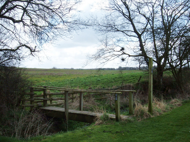
The woodland offers a tranquil escape from the hustle and bustle of city life, providing a peaceful environment for walking, hiking, and picnicking. There are well-maintained trails that wind through the forest, allowing visitors to fully immerse themselves in the natural beauty of the surroundings.
Birch Coppice is also a site of historical significance, with evidence of ancient settlements and archaeological finds in the area. The forest has been used by humans for centuries, with remnants of old pathways and stone structures still visible today.
Overall, Birch Coppice, Cheshire, offers a serene and idyllic setting for nature lovers and those seeking a peaceful retreat. With its lush vegetation, diverse wildlife, and historical significance, the forest provides a delightful experience for visitors of all ages.
If you have any feedback on the listing, please let us know in the comments section below.
Birch Coppice Images
Images are sourced within 2km of 53.257953/-2.2668103 or Grid Reference SJ8273. Thanks to Geograph Open Source API. All images are credited.
Birch Coppice is located at Grid Ref: SJ8273 (Lat: 53.257953, Lng: -2.2668103)
Unitary Authority: Cheshire East
Police Authority: Cheshire
What 3 Words
///impresses.pelted.rinses. Near Chelford, Cheshire
Nearby Locations
Related Wikis

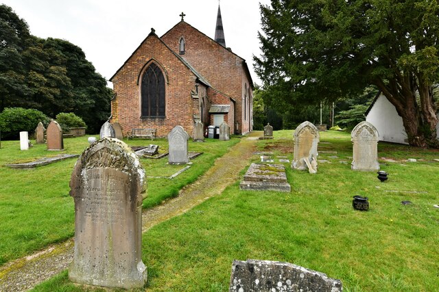
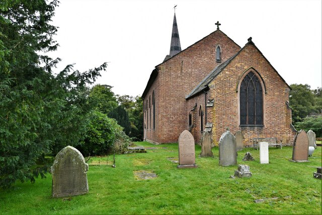
St John the Evangelist's Church, Chelford
St John the Evangelist's Church lies to the southeast of the village of Chelford, Cheshire, England. The church is recorded in the National Heritage List...

Chelford Manor House
Chelford Manor House stands to the southeast of the village of Chelford, Cheshire, England. It dates from the early 17th century. An extension was made...

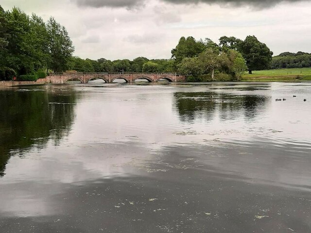
Astle Park
Astle Park is an area of land in the countryside a mile or so south of Chelford in Cheshire in England, on the west side of the A535 road (Holmes Chapel...

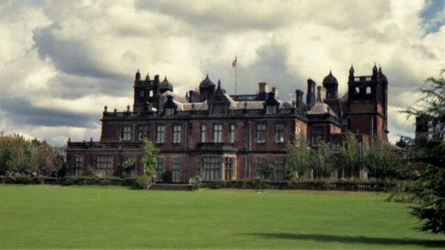
Astle Hall
Astle Hall is a former country house located near Chelford, Cheshire in the North West of England. The hall has been demolished; its parkland and a lodge...
Snelson, Cheshire
Snelson is a former civil parish, now in the parish of Peover Superior and Snelson, in the Borough of Cheshire East and ceremonial county of Cheshire in...
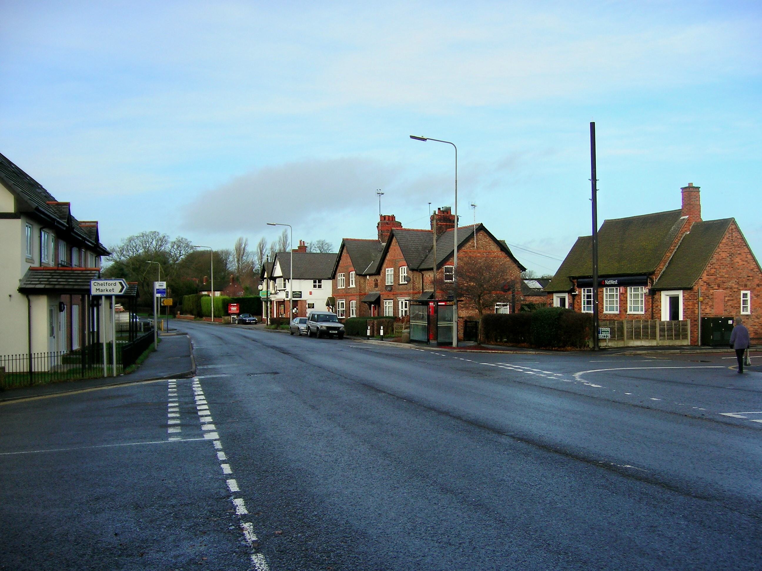
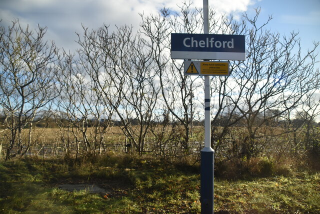
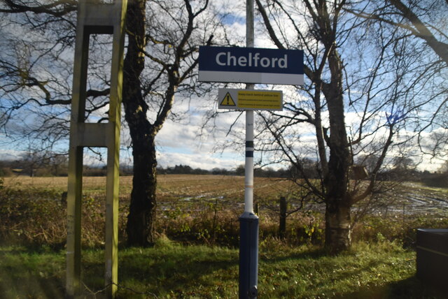
Chelford
Chelford is a village and civil parish in Cheshire, England, near to the junction of the A537 and A535 roads six miles (10 km) west of Macclesfield and...

Chelford railway station
Chelford railway station serves the village of Chelford in Cheshire, England. The station is 14+1⁄4 miles (22.9 km) north of Crewe on the Crewe to Manchester...

James Irlam
James Irlam & Sons Ltd (later trading as James Irlam Logistics) was a British road haulage company founded in the 1940s by James Irlam. It was owned and...
Nearby Amenities
Located within 500m of 53.257953,-2.2668103Have you been to Birch Coppice?
Leave your review of Birch Coppice below (or comments, questions and feedback).