Chapel Wood

Wood, Forest in Cheshire

England

Chapel Wood

Chelford, St. John the Evangelist's Church: Eastern aspect
Chelford, St. John the Evangelist's Church: Eastern aspect Credit: Michael Garlick

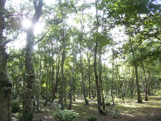
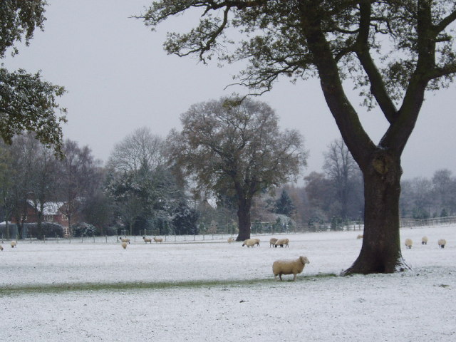
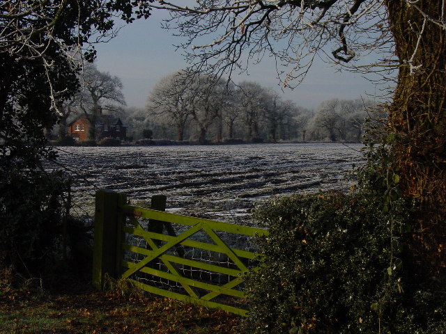
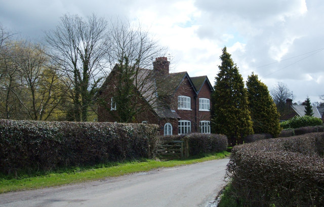
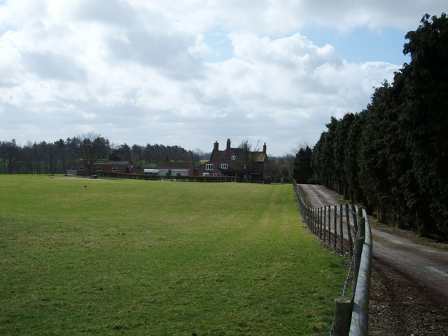
Chapel Wood, located in Cheshire, England, is a picturesque woodland area that spans over a vast expanse of approximately 100 acres. This enchanting forest is renowned for its diverse ecosystem, comprising a rich variety of trees, plants, and wildlife.

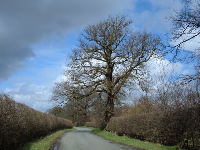
The wood is predominantly made up of oak, birch, and beech trees, which provide a captivating display of colors throughout the seasons, from the vibrant greens of spring and summer to the fiery oranges and yellows of autumn. The dense foliage creates a serene and tranquil atmosphere, making it an ideal location for nature enthusiasts and photographers.

The forest floor is adorned with a carpet of wildflowers during the spring months, including bluebells, primroses, and wood anemones, creating a breathtaking sight and attracting a plethora of buzzing insects. The wood is also home to an array of bird species, such as woodpeckers, owls, and various songbirds, filling the air with their melodious tunes.

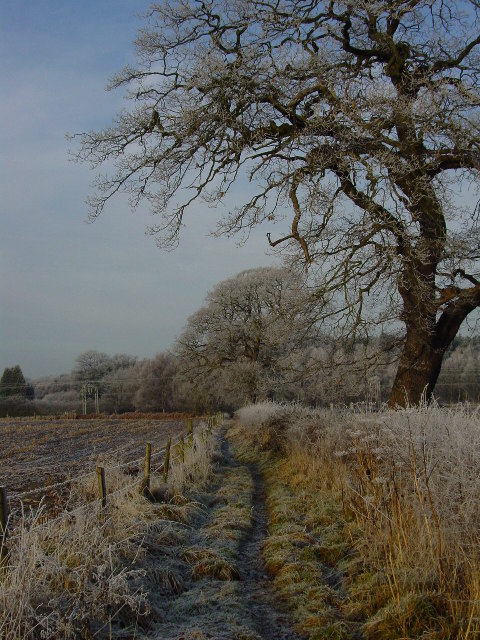
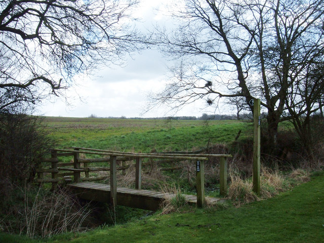
Chapel Wood is intersected by several well-maintained footpaths, allowing visitors to explore its natural wonders at their own pace. These paths lead to hidden glades, bubbling streams, and even a small waterfall, providing ample opportunities for peaceful walks and picnics amidst the serenity of nature.

The wood is open to the public year-round, and entrance is free of charge. It is managed by a local conservation organization, which ensures the preservation of its natural beauty and habitats. Visitors are kindly requested to respect the woodland's fragile ecosystem by adhering to the designated trails and avoiding any disturbance to the wildlife.

Chapel Wood in Cheshire truly offers a captivating escape into the heart of nature, providing a haven for both wildlife and humans alike.

If you have any feedback on the listing, please let us know in the comments section below.

Chapel Wood Images

Images are sourced within 2km of 53.260578/-2.2708442 or Grid Reference SJ8273. Thanks to Geograph Open Source API. All images are credited.

Chelford, St. John the Evangelist's Church: Eastern aspect
Muddy farmland
Muddy farmland
Chelford station
Chelford station
Chelford Station
Chelford Station
Wood End Farm
Wood End Farm
Lakes at Dingle Bank Quarry Lakes from old quarry workings at Dingle Bank Quarry. Taken from Colt Hovel Wood, looking south-east.
Lakes at Dingle Bank Quarry
Lakes from old quarry workings at Dingle Bank Quarry. Taken from Colt Hovel Wood, looking south-east.
"The Mosses" Birch Wood A short walk from Lapwing Lane to Congleton Lane takes you through "The Mosses", a small wood, mostly composed of birch trees leading into a covered avenue.
"The Mosses" Birch Wood
A short walk from Lapwing Lane to Congleton Lane takes you through "The Mosses", a small wood, mostly composed of birch trees leading into a covered avenue.
Steam Fair at Astle Park Chelford
Steam Fair at Astle Park Chelford One of the many fabulous Traction Engines on display.
The late Fred Dibnah attended this fair many times
Steam Fair at Astle Park Chelford
One of the many fabulous Traction Engines on display. The late Fred Dibnah attended this fair many times
Astle Park in winter
Winter morning on the path which runs NW to Heath Farm A winter's day on the path between Peover Lane, Chelford and Heath Farm.
Winter morning on the path which runs NW to Heath Farm
A winter's day on the path between Peover Lane, Chelford and Heath Farm.
Farmland at the eastern end of Common Farm Lane, Chelford Looking W from near the eastern end of Common Farm Lane, Chelford.
Farmland at the eastern end of Common Farm Lane, Chelford
Looking W from near the eastern end of Common Farm Lane, Chelford.
End House, Mill Lane Mill Lane here forms the western boundary of Capesthorne Park. View SE less than a mile from the A34.
End House, Mill Lane
Mill Lane here forms the western boundary of Capesthorne Park. View SE less than a mile from the A34.
Fallows Hall, Monks Heath View south along the drive from the A537, Chelford Road.
Fallows Hall, Monks Heath
View south along the drive from the A537, Chelford Road.
Astle, near Chelford At the end of a farm road to the south of the A537, Chelford Road lie two farms, Astle Farm West and Astle Farm East. Here a wooden footbridge crosses Bag Brook. View SE looking across farmland that is representative of this grid square.
Astle, near Chelford
At the end of a farm road to the south of the A537, Chelford Road lie two farms, Astle Farm West and Astle Farm East. Here a wooden footbridge crosses Bag Brook. View SE looking across farmland that is representative of this grid square.
Congleton Lane, Chapel Wood View NW about 400 metres SE of its junction with the A535, Holmes Chapel Road.
Congleton Lane, Chapel Wood
View NW about 400 metres SE of its junction with the A535, Holmes Chapel Road.
Barn at Knowsley Farm, Chelford Planning permission is being sought to change the use of this steel barn into bike/general storage associated with an office development. Soon the barn may never be seen again - except as a Geograph record.
Barn at Knowsley Farm, Chelford
Planning permission is being sought to change the use of this steel barn into bike/general storage associated with an office development. Soon the barn may never be seen again - except as a Geograph record.
Show me another place!

Chapel Wood is located at Grid Ref: SJ8273 (Lat: 53.260578, Lng: -2.2708442)

Unitary Authority: Cheshire East

Police Authority: Cheshire

What 3 Words

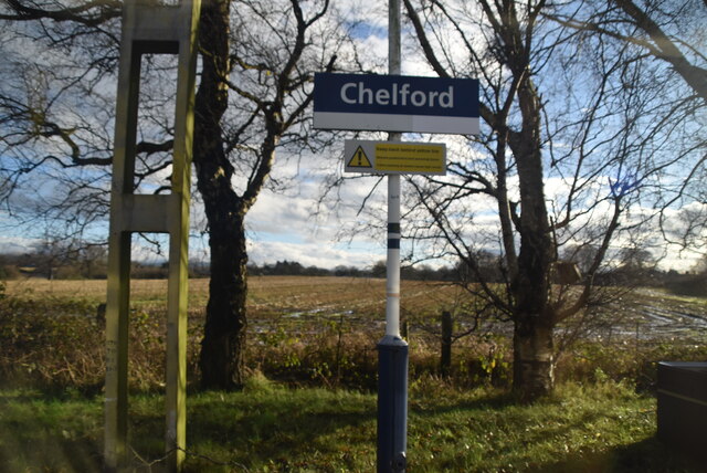
///waged.strides.surely. Near Chelford, Cheshire

Nearby Locations

Birch Coppice Chapel Wood

Related Wikis

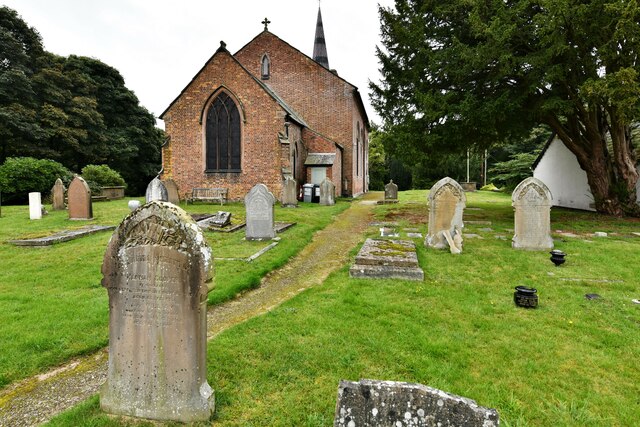
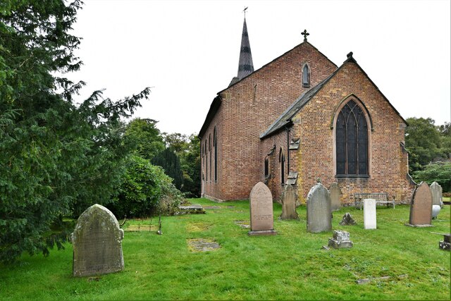
St John the Evangelist's Church, Chelford

St John the Evangelist's Church lies to the southeast of the village of Chelford, Cheshire, England. The church is recorded in the National Heritage List...

Chelford Manor House

Chelford Manor House stands to the southeast of the village of Chelford, Cheshire, England. It dates from the early 17th century. An extension was made...

Astle Park

Astle Park is an area of land in the countryside a mile or so south of Chelford in Cheshire in England, on the west side of the A535 road (Holmes Chapel...

Astle Hall

Astle Hall is a former country house located near Chelford, Cheshire in the North West of England. The hall has been demolished; its parkland and a lodge...

Nearby Amenities

Located within 500m of 53.260578,-2.2708442
Birch Coppice
Natural: wood
Lat/Long: 53.258718/-2.2670834
Chapel Wood
Natural: wood
Lat/Long: 53.2599234/-2.2705773
Shenstone
Natural: wood
Lat/Long: 53.2610365/-2.2726108
The data included in this document is from www.openstreetmap.org. The data is made available under ODbL.

Have you been to Chapel Wood?

Leave your review of Chapel Wood below (or comments, questions and feedback).