Truncombe Wood

Wood, Forest in Wiltshire

England

Truncombe Wood

View from road near Mere Down Farm at harvest time
View from road near Mere Down Farm at harvest time Credit: Vieve Forward

The requested URL returned error: 429 Too Many Requests

If you have any feedback on the listing, please let us know in the comments section below.

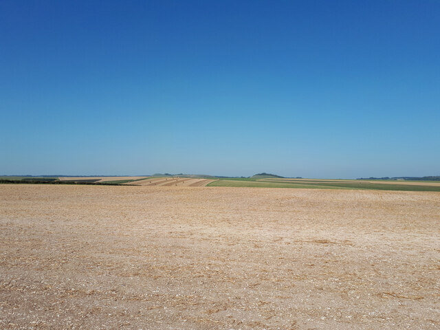
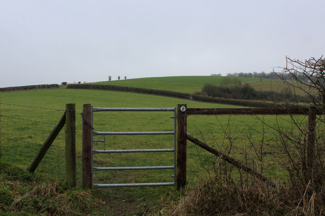
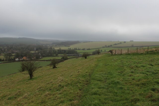
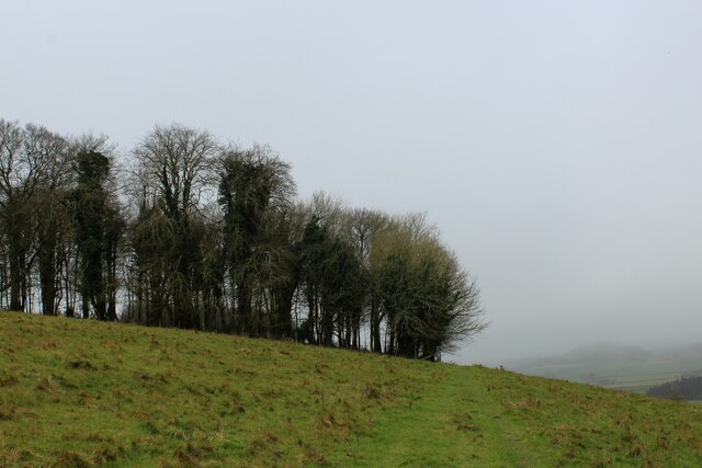
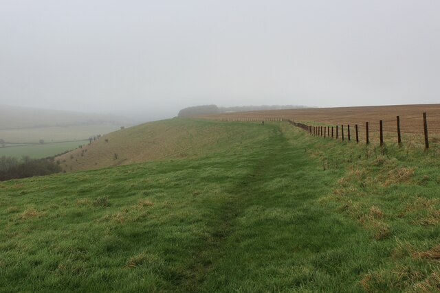
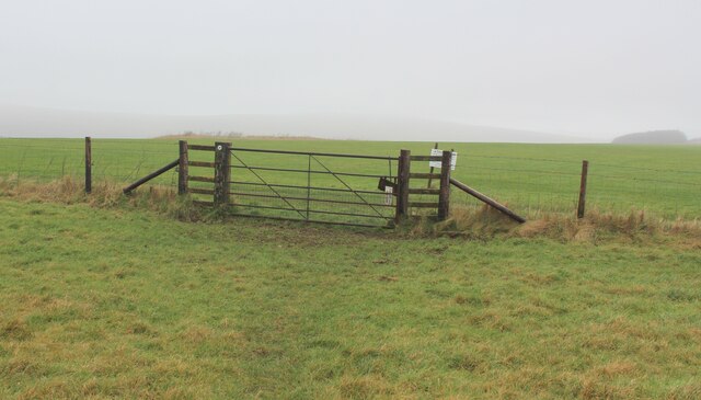
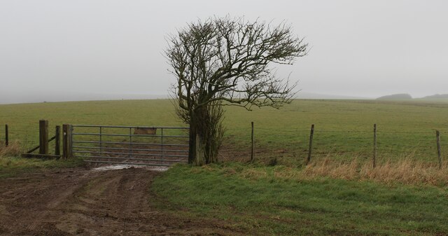
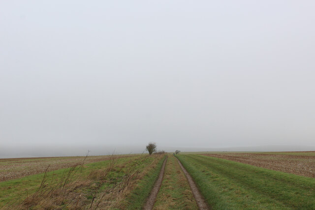
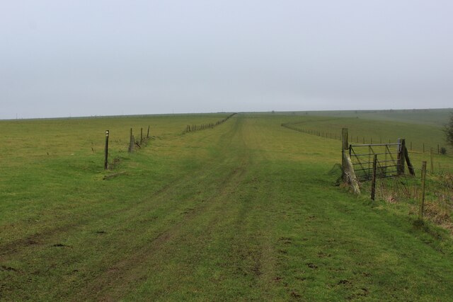
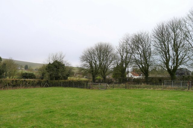
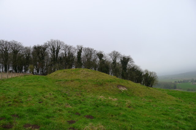
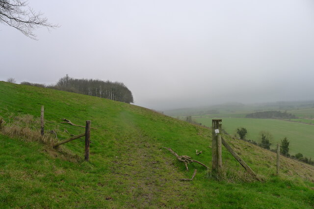
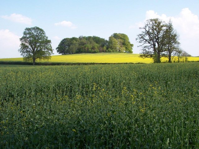
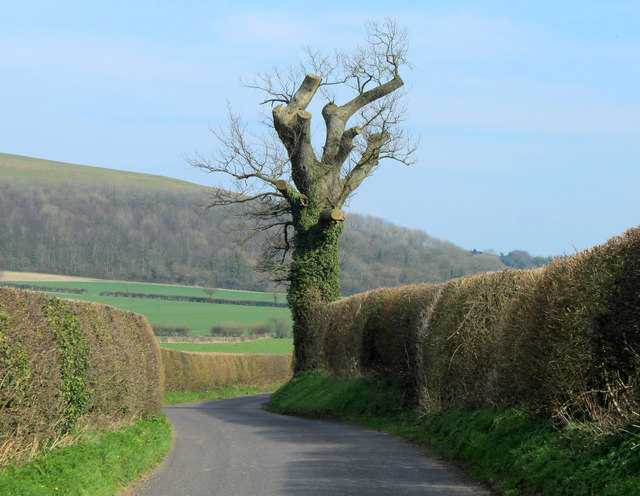
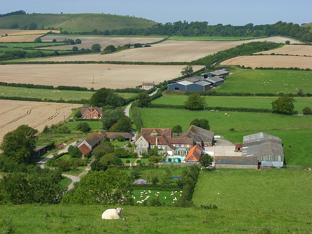
Truncombe Wood Images

Images are sourced within 2km of 51.131144/-2.2542885 or Grid Reference ST8236. Thanks to Geograph Open Source API. All images are credited.

View from road near Mere Down Farm at harvest time
Footpath leading up to Court Hill Through the gate, the undefined footpath leads diagonally through the pasture to reach the flanks of Court Hill.
Footpath leading up to Court Hill
Through the gate, the undefined footpath leads diagonally through the pasture to reach the flanks of Court Hill.
Mid Wilts Way on Court Hill The long distance footpath descending towards Kingston Deverill
Mid Wilts Way on Court Hill
The long distance footpath descending towards Kingston Deverill
Approaching Court Hill Plantation Mid Wilts Way long distance footpath on Court Hill
Approaching Court Hill Plantation
Mid Wilts Way long distance footpath on Court Hill
Mid Wilts Way above Truncombe Wood The bridleway follows a long escarpment edge on a chalk down - the fence acting as a guide in mist.
The fence also marks the boundary to the airfield base of the Bath Wilts and North Dorset Gliding Club.
Mid Wilts Way above Truncombe Wood
The bridleway follows a long escarpment edge on a chalk down - the fence acting as a guide in mist. The fence also marks the boundary to the airfield base of the Bath Wilts and North Dorset Gliding Club.
Gate leading onto the Wilts and North Dorset Gliding Club Airfield The bridleway goes through the gate, and then follows the fence to the left
Gate leading onto the Wilts and North Dorset Gliding Club Airfield
The bridleway goes through the gate, and then follows the fence to the left
A Lonely Stunted Tree on Rodmead Hill A windswept landscape of open chalk downland - yet this tree has courageously hung on to life.
The bridleway is indicated by the muddy track through the gate.
A Lonely Stunted Tree on Rodmead Hill
A windswept landscape of open chalk downland - yet this tree has courageously hung on to life. The bridleway is indicated by the muddy track through the gate.
Mid Wilts Way on Rodmead Hill Mist renders the landscape a bleak spectacle, as the track runs over windswept chalk downland
Mid Wilts Way on Rodmead Hill
Mist renders the landscape a bleak spectacle, as the track runs over windswept chalk downland
Between Rodmead Hill and White Sheet Hill The Mid Wilts Way follows the edge of windswept chalk downs
Between Rodmead Hill and White Sheet Hill
The Mid Wilts Way follows the edge of windswept chalk downs
The Mid Wilts Way entering Kingston Deverill Onto the narrow flood plain of the River Wylye after leaving Court Hill
The Mid Wilts Way entering Kingston Deverill
Onto the narrow flood plain of the River Wylye after leaving Court Hill
Tumulus on Court Hill The tumulus is on the flank of the hill, rather than its ridge. But <a href="https://www.geograph.org.uk/photo/140085">ST8337 : Wylye Valley farmland</a> shows that it is nevertheless visible from some distance
Tumulus on Court Hill
The tumulus is on the flank of the hill, rather than its ridge. But ST8337 : Wylye Valley farmland shows that it is nevertheless visible from some distance
The Mid Wilts Way on Court Hill Leading towards the small copse of Peter's Penning
The Mid Wilts Way on Court Hill
Leading towards the small copse of Peter's Penning
Truncombe Wood The wood nestles in a fold of the north escarpment of Court Hill, facing the plain of the River Wylye. Just a pity our views from the hill, as we follow the Mid Wilts Way, are obscured by low cloud. At least it's not raining.
Truncombe Wood
The wood nestles in a fold of the north escarpment of Court Hill, facing the plain of the River Wylye. Just a pity our views from the hill, as we follow the Mid Wilts Way, are obscured by low cloud. At least it's not raining.
The Mid Wilts Way on Rodmead Hill A lone hawthorn. Were the field boundaries marked by hedges before the introduction of wire fences?
The Mid Wilts Way on Rodmead Hill
A lone hawthorn. Were the field boundaries marked by hedges before the introduction of wire fences?
The Mid Wilts Way running south-west from the top of Rodmead Hill
Coombe Barn Farm
Coombe Barn Farm
Brimble Hill Clump Looking SE in Bradley Park, near Bradley House. Part of a permissory path system called Duke's Walk <span class="nowrap"><a title="http://cwr.defra.gov.uk/DisplayImage.aspx?Type=Mapboard&IFN=453060024.pdf," rel="nofollow ugc noopener" href="http://cwr.defra.gov.uk/DisplayImage.aspx?Type=Mapboard&IFN=453060024.pdf,">Link</a><img style="margin-left:2px;" alt="External link" title="External link - shift click to open in new window" src="https://s1.geograph.org.uk/img/external.png" width="10" height="10"/></span> which now appears to have been decommissioned.

'Brimble Hill was called Bremelhil brech in 1407 and the meaning seems to be Bramble Hill.' <span class="nowrap"><a title="http://history.wiltshire.gov.uk/community/getfaq.php?id=183" rel="nofollow ugc noopener" href="http://history.wiltshire.gov.uk/community/getfaq.php?id=183">Link</a><img style="margin-left:2px;" alt="External link" title="External link - shift click to open in new window" src="https://s1.geograph.org.uk/img/external.png" width="10" height="10"/></span>

The clump has rough grave marker stones <span class="nowrap"><a title="http://www.btinternet.com/~JIM.DOWNES1/images/CLUMP.jpg" rel="nofollow ugc noopener" href="http://www.btinternet.com/~JIM.DOWNES1/images/CLUMP.jpg">Link</a><img style="margin-left:2px;" alt="External link" title="External link - shift click to open in new window" src="https://s1.geograph.org.uk/img/external.png" width="10" height="10"/></span>  where Algernon Seymour, 15th Duke of Somerset and his wife Susan were buried. 

'He died s.p. 22 October 1923 at Maiden Bradley and was buried there 25 October at Brimble Hill Clump aged 77. Will proved £684,923 gross, £289,960 net. His widow, who was a Dame Grand Cross of the Order of St. John of Jerusalem, died 30 January 1936 and was buried 4 February at Brimble Hill.' <span class="nowrap"><a title="http://wc.rootsweb.ancestry.com/cgi-bin/igm.cgi?op=GET&db=utzing&id=I093979" rel="nofollow ugc noopener" href="http://wc.rootsweb.ancestry.com/cgi-bin/igm.cgi?op=GET&db=utzing&id=I093979">Link</a><img style="margin-left:2px;" alt="External link" title="External link - shift click to open in new window" src="https://s1.geograph.org.uk/img/external.png" width="10" height="10"/></span>

(For full story about the graves and locale description visit my Maiden Bradley village site on this <span class="nowrap"><a title="https://sites.google.com/site/maidenbradley/maiden-bradley-times/duke-s-grave" rel="nofollow ugc noopener" href="https://sites.google.com/site/maidenbradley/maiden-bradley-times/duke-s-grave">Link</a><img style="margin-left:2px;" alt="External link" title="External link - shift click to open in new window" src="https://s1.geograph.org.uk/img/external.png" width="10" height="10"/></span> )
Brimble Hill Clump
Looking SE in Bradley Park, near Bradley House. Part of a permissory path system called Duke's Walk LinkExternal link which now appears to have been decommissioned. 'Brimble Hill was called Bremelhil brech in 1407 and the meaning seems to be Bramble Hill.' LinkExternal link The clump has rough grave marker stones LinkExternal link where Algernon Seymour, 15th Duke of Somerset and his wife Susan were buried. 'He died s.p. 22 October 1923 at Maiden Bradley and was buried there 25 October at Brimble Hill Clump aged 77. Will proved £684,923 gross, £289,960 net. His widow, who was a Dame Grand Cross of the Order of St. John of Jerusalem, died 30 January 1936 and was buried 4 February at Brimble Hill.' LinkExternal link (For full story about the graves and locale description visit my Maiden Bradley village site on this LinkExternal link )
2012 : An old oak tree, nicely pruned As well as improving safety for passers by on the road this treatment helps preserve the life of the tree. Already 300 to 400 years old, given the absence of lightning strikes, road widening, etc. it could last another 400 or 500 years.
Brimsdown Hill is in the background, the road continues to Kingston Deverill.
2012 : An old oak tree, nicely pruned
As well as improving safety for passers by on the road this treatment helps preserve the life of the tree. Already 300 to 400 years old, given the absence of lightning strikes, road widening, etc. it could last another 400 or 500 years. Brimsdown Hill is in the background, the road continues to Kingston Deverill.
Show me another place!

Truncombe Wood is located at Grid Ref: ST8236 (Lat: 51.131144, Lng: -2.2542885)

Unitary Authority: Wiltshire

Police Authority: Wiltshire

What 3 Words

///rocky.plump.emphasis. Near Mere, Wiltshire

Nearby Locations

Truncombe Wood

Related Wikis

Brimsdown Hill

Brimsdown Hill (grid reference ST821391) is a 193.7 hectare biological Site of Special Scientific Interest in Wiltshire, notified in 1951. It is situated...

Kingston Deverill

Kingston Deverill is a village and civil parish in Wiltshire, England. Its nearest towns are Mere, about 3+1⁄2 miles (6 km) to the southwest, and Warminster...

Bradley House, Wiltshire

Bradley House, or Maiden Bradley House, is a country house in the village of Maiden Bradley, Wiltshire, England, between the great country estates of Stourhead...

Maiden Bradley

Maiden Bradley is a village in south-west Wiltshire, England, about 6 miles (10 km) south-west of Warminster and bordering the county of Somerset. The...

Nearby Amenities

Located within 500m of 51.131144,-2.2542885
The data included in this document is from www.openstreetmap.org. The data is made available under ODbL.

Have you been to Truncombe Wood?

Leave your review of Truncombe Wood below (or comments, questions and feedback).