Richards Wood
Wood, Forest in Gloucestershire Gloucester
England
Richards Wood

Richards Wood is a small forested area located in Gloucestershire, England. It is situated near the village of Wood, and covers an area of approximately 100 acres. The wood is known for its dense foliage and diverse range of tree species, making it a popular destination for nature enthusiasts and hikers.
The forest is primarily composed of native deciduous trees such as oak, beech, and ash, creating a vibrant and picturesque landscape throughout the year. The trees provide a habitat for a variety of wildlife, including birds, small mammals, and insects, making it an ideal location for birdwatching and wildlife spotting.
Richards Wood is well-maintained and offers several walking trails that wind through its scenic surroundings. These trails vary in length and difficulty, catering to both casual walkers and more experienced hikers. Along the paths, visitors can discover hidden ponds, meadows, and ancient stone walls, adding to the charm and character of the wood.
In addition to its natural beauty, Richards Wood also has historical significance. It is believed to have been part of the ancient Forest of Dean, which was once a royal hunting ground. The wood has witnessed centuries of human activity, including logging and charcoal production, leaving behind remnants of old mining pits and charcoal platforms.
Overall, Richards Wood in Gloucestershire offers a tranquil and enchanting experience, combining natural beauty with a rich history. Whether it's for a leisurely stroll, birdwatching, or exploring the area's past, this wood provides a captivating escape into nature.
If you have any feedback on the listing, please let us know in the comments section below.
Richards Wood Images
Images are sourced within 2km of 51.869847/-2.2591054 or Grid Reference SO8219. Thanks to Geograph Open Source API. All images are credited.


Richards Wood is located at Grid Ref: SO8219 (Lat: 51.869847, Lng: -2.2591054)
Administrative County: Gloucestershire
District: Gloucester
Police Authority: Gloucestershire
What 3 Words
///this.traps.toward. Near Gloucester, Gloucestershire
Nearby Locations
Related Wikis

Castle Meads Power Station
Castle Meads Power Station was a coal-fired power station situated on Alney Island in the River Severn at Gloucester. == History == Construction of the...
Westgate Galleria
The Westgate Galleria are grade II listed almshouses in Westgate Street, Gloucester, now used as a small shopping centre. The building dates from 1787...
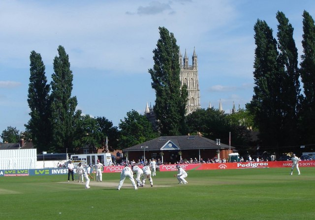
Archdeacon Meadow
Archdeacon Meadow is a cricket ground in Gloucester, England. The land is owned by The King's School. The ground was first used by the Gloucestershire...
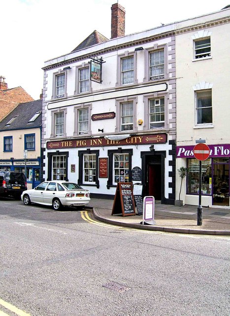
Lower George Hotel
The Lower George Hotel, now the Lower George Inn, is a grade II listed building at 121 Westgate Street, Gloucester.For some time the building was home...
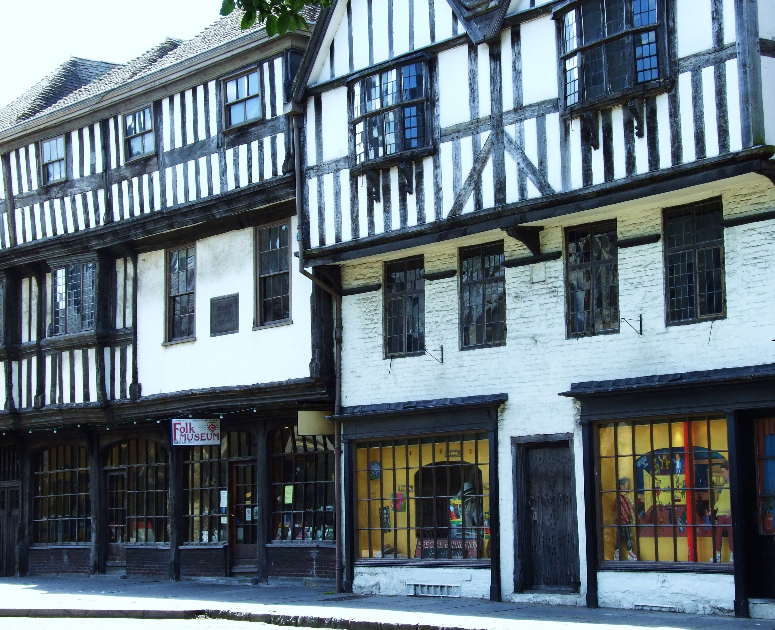
The Folk of Gloucester
The Folk of Gloucester is a museum which is housed in two of the oldest buildings in the City of Gloucester, a Tudor merchant's house and a 17th-century...
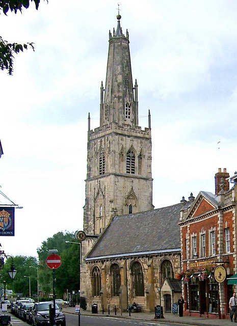
St Nicholas Church, Gloucester
St Nicholas Church is a historic church in Westgate Street in the city of Gloucester, England, under the care of The Churches Conservation Trust. It is...
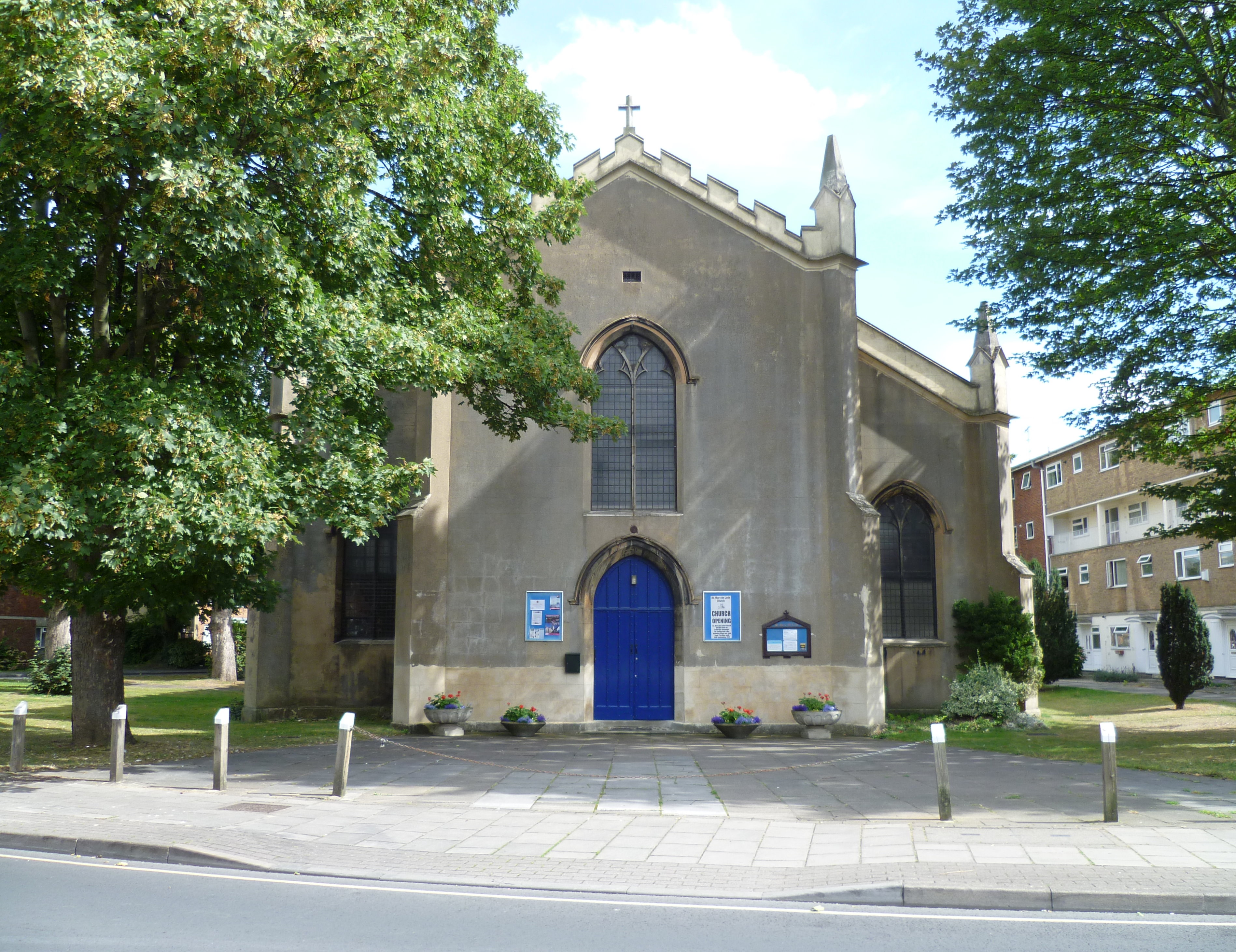
St Mary de Lode Church, Gloucester
St Mary de Lode Church is a Church of England church immediately outside the grounds of Gloucester Cathedral. It is believed by some to be on the site...
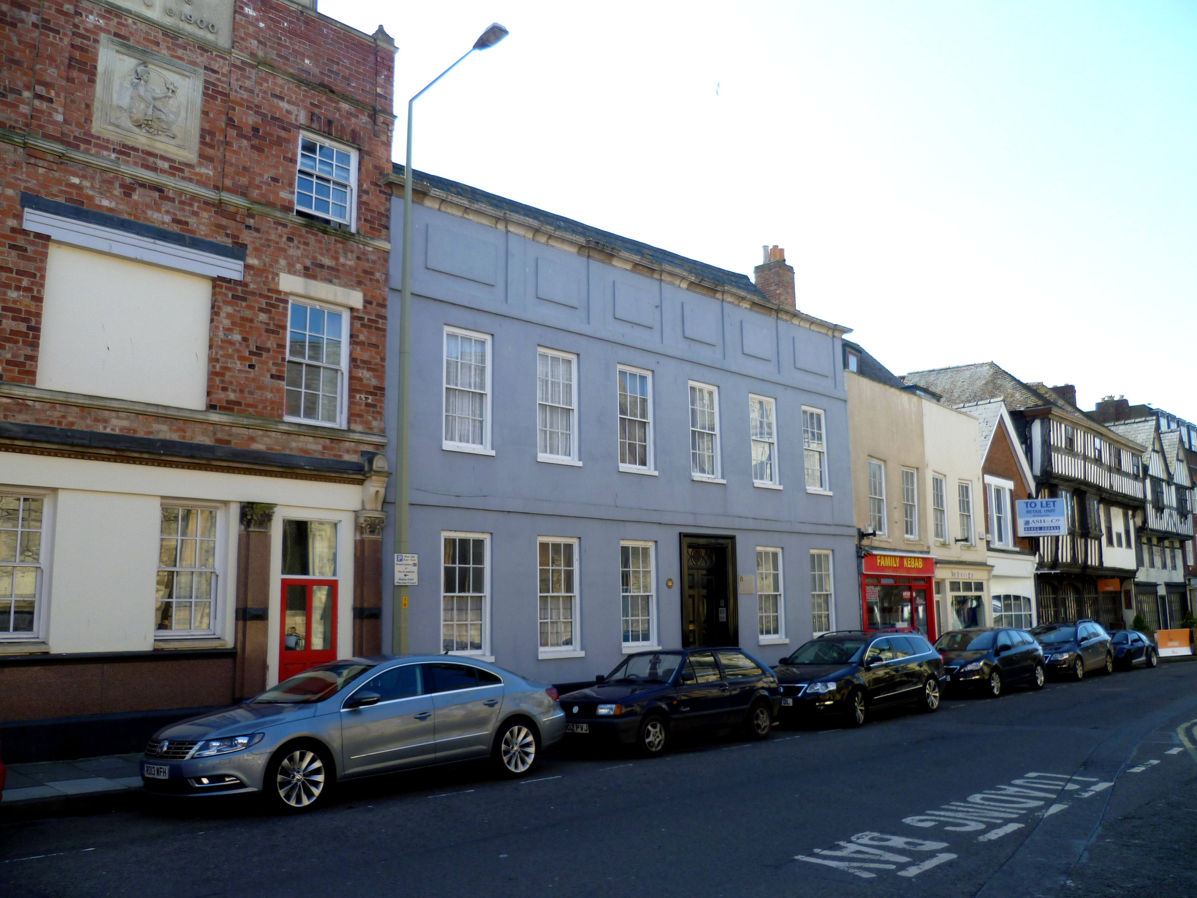
Hyatt House, Gloucester
Hyatt House, or Hyett House, is a grade II listed building at 91 Westgate Street in the English city of Gloucester. The building is of a timber frame with...
Related Videos

Walking the Gloucestershire Way (UK). Day 1 Chepstow to Parkend (13 miles)
Day 1 of 6 walking the Gloucestershire Way (100 miles) as part of my 'walk a long distance path in each county of England' ...

Secrets of Gloucester Revealed | Walking Tour | 4K
Come with us to Gloucester! We spend a beautiful afternoon touring the the Gloucester city center, historic docks, and best of all ...

Gloucester City Centre Walk 4K | June 2023
Gloucester is a city in the west of England, near the Cotswolds rural area. It's known for 11th-century Gloucester Cathedral, which ...

Nearby Amenities
Located within 500m of 51.869847,-2.2591054Have you been to Richards Wood?
Leave your review of Richards Wood below (or comments, questions and feedback).