Pool Meadow
Settlement in Gloucestershire Gloucester
England
Pool Meadow

Pool Meadow is a charming village located in the county of Gloucestershire, England. Situated in the picturesque Cotswold region, it is known for its idyllic setting, rural charm, and historical significance. The village is nestled amidst rolling hills and lush green fields, providing a stunning backdrop for residents and visitors alike.
Pool Meadow has a small population, with only a few hundred residents living in its quaint cottages and houses. The village is renowned for its sense of community and neighborly spirit, with regular events and activities organized by local groups.
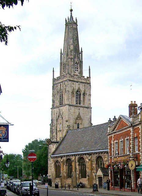
One of the highlights of Pool Meadow is its rich history. The village dates back centuries and is home to several historic buildings and landmarks. St. Mary's Church, a beautiful medieval church with stunning architecture, stands proudly in the heart of the village. It serves as a reminder of the village's religious heritage and adds to its overall charm.
The surrounding countryside offers ample opportunities for outdoor activities, such as hiking, cycling, and horseback riding. The Cotswold Way, a long-distance walking trail that stretches through the region, passes near Pool Meadow, making it an ideal base for nature enthusiasts and hikers.
Pool Meadow may be small in size, but it offers a peaceful and tranquil retreat from the hustle and bustle of city life. Its natural beauty, rich history, and sense of community make it a truly special place in Gloucestershire.
If you have any feedback on the listing, please let us know in the comments section below.
Pool Meadow Images
Images are sourced within 2km of 51.870641/-2.2578754 or Grid Reference SO8219. Thanks to Geograph Open Source API. All images are credited.


Pool Meadow is located at Grid Ref: SO8219 (Lat: 51.870641, Lng: -2.2578754)
Administrative County: Gloucestershire
District: Gloucester
Police Authority: Gloucestershire
What 3 Words
///pulled.swept.legend. Near Gloucester, Gloucestershire
Nearby Locations
Related Wikis

Westgate Galleria
The Westgate Galleria are grade II listed almshouses in Westgate Street, Gloucester, now used as a small shopping centre. The building dates from 1787...
Castle Meads Power Station
Castle Meads Power Station was a coal-fired power station situated on Alney Island in the River Severn at Gloucester. == History == Construction of the...
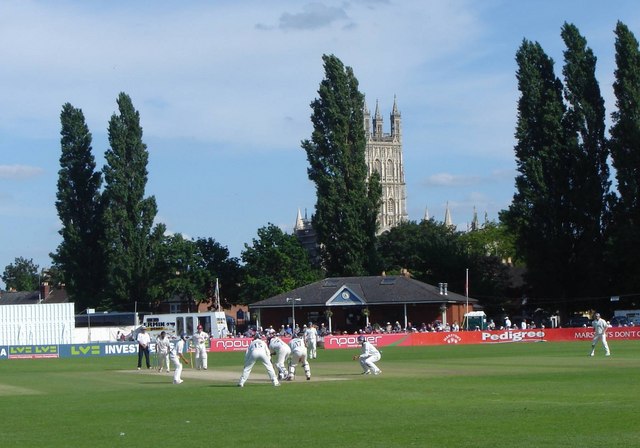
Archdeacon Meadow
Archdeacon Meadow is a cricket ground in Gloucester, England. The land is owned by The King's School. The ground was first used by the Gloucestershire...
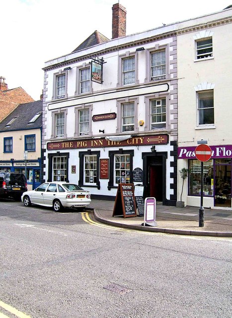
Lower George Hotel
The Lower George Hotel, now the Lower George Inn, is a grade II listed building at 121 Westgate Street, Gloucester.For some time the building was home...
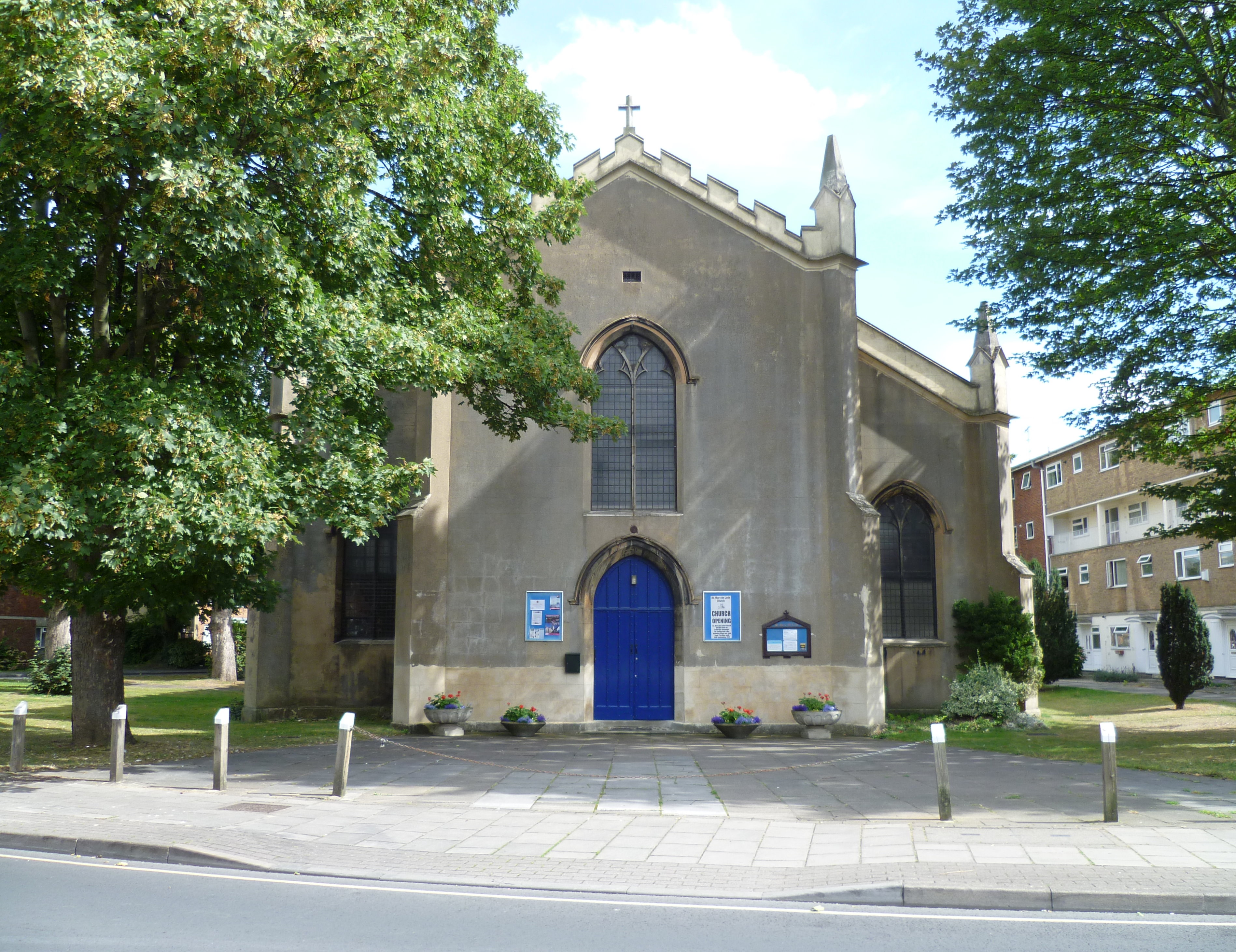
St Mary de Lode Church, Gloucester
St Mary de Lode Church is a Church of England church immediately outside the grounds of Gloucester Cathedral. It is believed by some to be on the site...
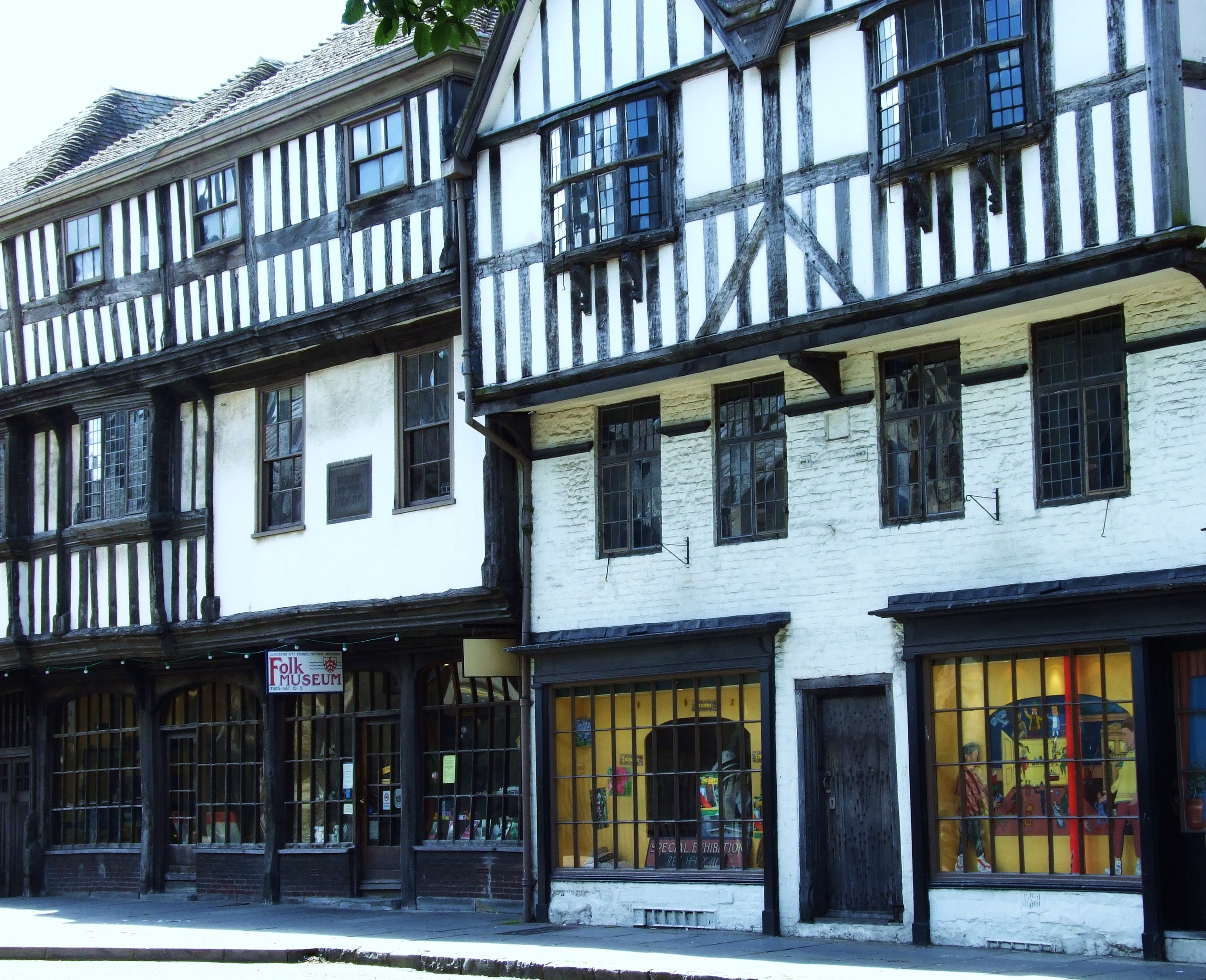
The Folk of Gloucester
The Folk of Gloucester is a museum which is housed in two of the oldest buildings in the City of Gloucester, a Tudor merchant's house and a 17th-century...
St Nicholas Church, Gloucester
St Nicholas Church is a historic church in Westgate Street in the city of Gloucester, England, under the care of The Churches Conservation Trust. It is...
Hyatt House, Gloucester
Hyatt House, or Hyett House, is a grade II listed building at 91 Westgate Street in the English city of Gloucester. The building is of a timber frame with...
Nearby Amenities
Located within 500m of 51.870641,-2.2578754Have you been to Pool Meadow?
Leave your review of Pool Meadow below (or comments, questions and feedback).