Sealey Wood

Wood, Forest in Gloucestershire Stroud

England

Sealey Wood

Stone Stile, Horsley Off Narrowcut Lane, on Gloucestershire footpath MHO75 looking West. The view looking East is <a href="https://www.geograph.org.uk/photo/7067457">ST8398 : Stone Stile, Horsley</a>.
Stone Stile, Horsley Credit: Mr Red

Sealey Wood is a picturesque woodland located in the county of Gloucestershire, England. Spanning over an area of approximately 100 acres, it is situated in the heart of the Forest of Dean, an ancient forest rich in biodiversity and history.

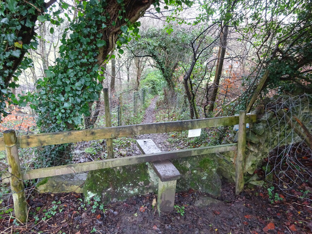
The wood is predominantly made up of dense stands of broadleaf trees such as oak, beech, and ash, creating a lush and vibrant canopy. The forest floor is covered with a variety of plants and wildflowers, including bluebells, primroses, and wood anemones, which bloom in the spring, adding a burst of color to the woodland.

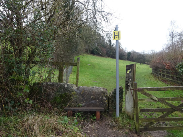
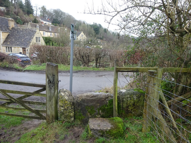
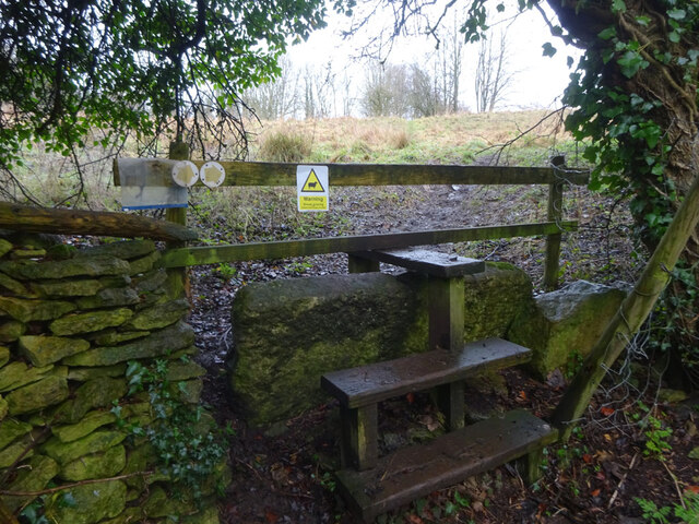
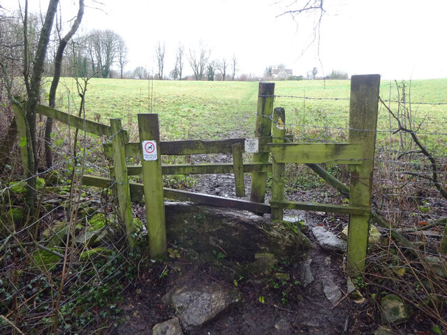
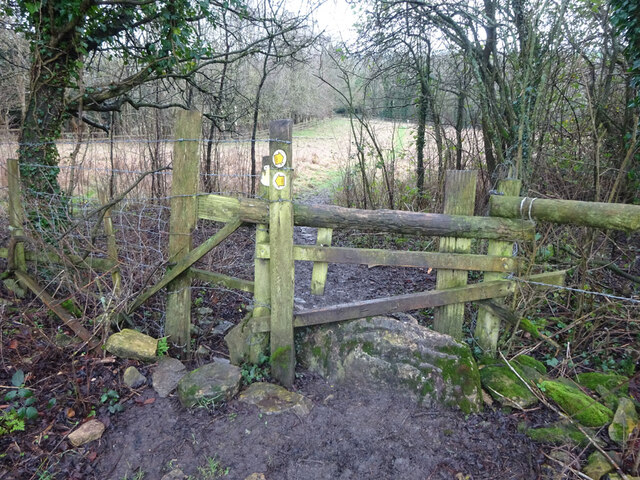
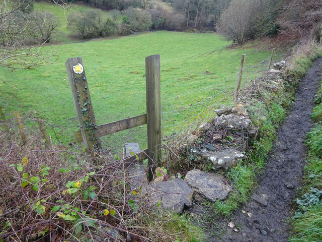
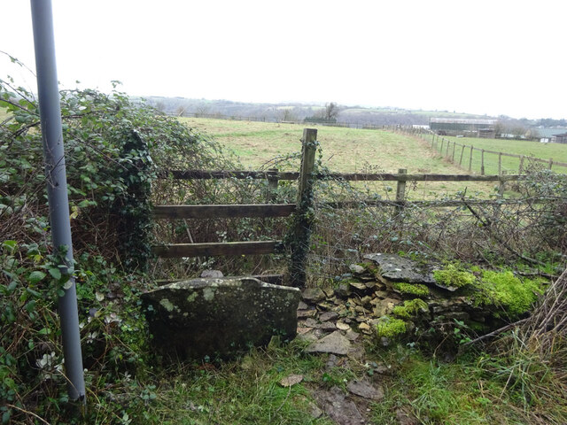
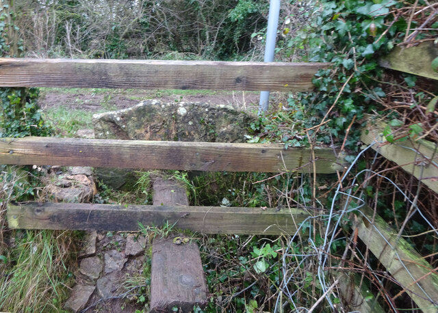
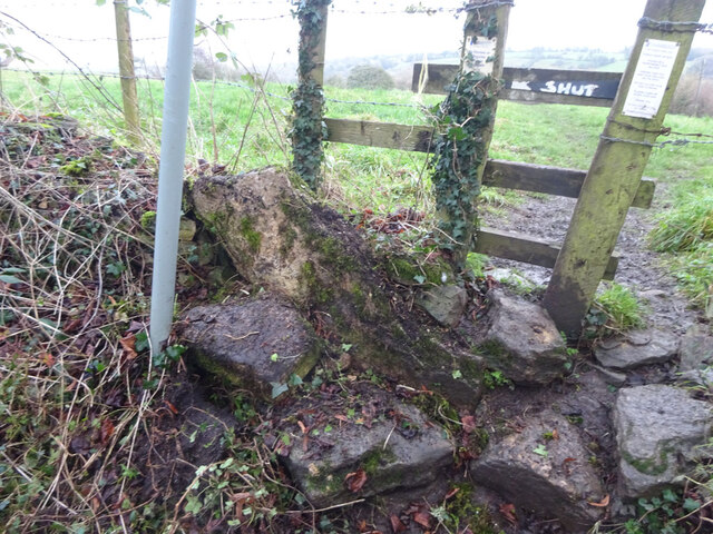
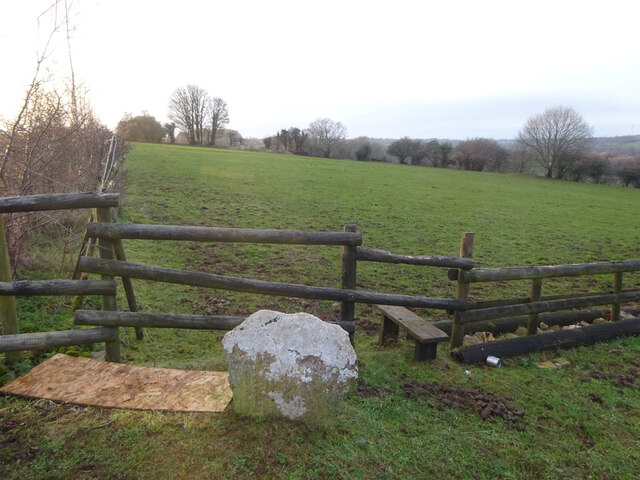
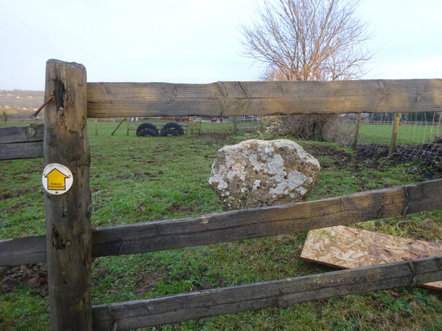
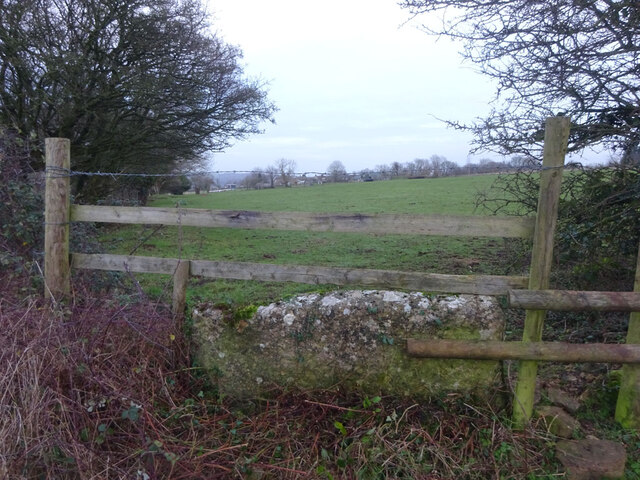
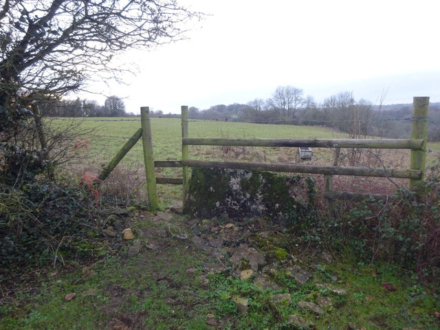
Sealey Wood is crisscrossed by a network of footpaths and trails, allowing visitors to explore its natural beauty and enjoy peaceful walks. The paths wind through the trees, offering glimpses of local wildlife such as deer, foxes, and a wide array of bird species. The wood is particularly renowned for its birdwatching opportunities, attracting enthusiasts from far and wide.

In addition to its natural splendor, Sealey Wood also holds historical significance. It is home to the remains of an Iron Age hillfort, known as Staple Edge Camp, which provides a fascinating insight into the area's ancient past.

Overall, Sealey Wood offers a tranquil retreat for nature lovers and history enthusiasts alike. Its diverse flora and fauna, coupled with its rich heritage, make it a must-visit destination for those seeking a peaceful escape in the heart of Gloucestershire's Forest of Dean.

If you have any feedback on the listing, please let us know in the comments section below.
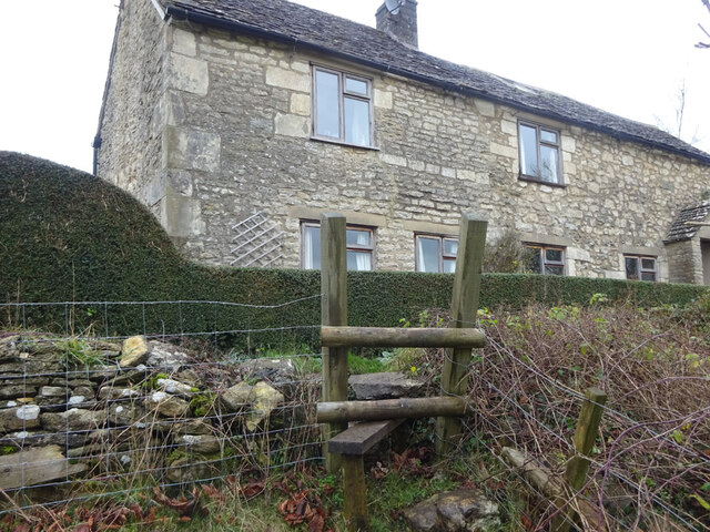
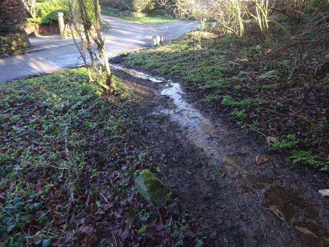
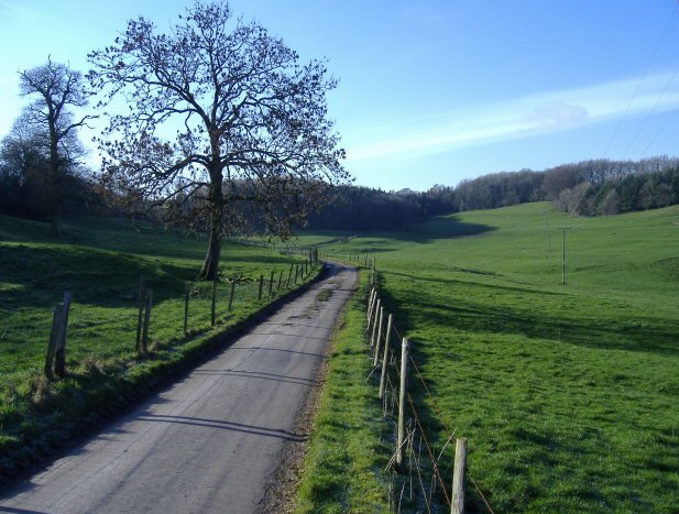
Sealey Wood Images

Images are sourced within 2km of 51.680471/-2.2580076 or Grid Reference ST8297. Thanks to Geograph Open Source API. All images are credited.

Stone Stile, Horsley Off Narrowcut Lane, on Gloucestershire footpath MHO75 looking West. The view looking East is <a href="https://www.geograph.org.uk/photo/7067457">ST8398 : Stone Stile, Horsley</a>.
Stone Stile, Horsley
Off Narrowcut Lane, on Gloucestershire footpath MHO75 looking West. The view looking East is ST8398 : Stone Stile, Horsley.
Stone Stile, Horsley Off Narrowcut Lane, on Gloucestershire footpath MHO75 looking East. The view looking West is <a href="https://www.geograph.org.uk/photo/7067455">ST8398 : Stone Stile, Horsley</a>.
Stone Stile, Horsley
Off Narrowcut Lane, on Gloucestershire footpath MHO75 looking East. The view looking West is ST8398 : Stone Stile, Horsley.
Stone Stile, Horsley At the junction of Gloucestershire footpaths MHO19 & MHO18, looking into the field. The view looking SW along MHO18 is <a href="https://www.geograph.org.uk/photo/7067498">ST8398 : Stone Stile, Horsley</a>.
Stone Stile, Horsley
At the junction of Gloucestershire footpaths MHO19 & MHO18, looking into the field. The view looking SW along MHO18 is ST8398 : Stone Stile, Horsley.
Stone Stile, Horsley At the junction of Gloucestershire footpaths MHO19 & MHO18, looking SW along MHO18. The view looking NE into the field is <a href="https://www.geograph.org.uk/photo/7067495">ST8398 : Stone Stile, Horsley</a>.
Stone Stile, Horsley
At the junction of Gloucestershire footpaths MHO19 & MHO18, looking SW along MHO18. The view looking NE into the field is ST8398 : Stone Stile, Horsley.
Stone Stile, Horsley Looking North into the top (rented by Ben) field on Gloucestershire footpaths MHO18 & MHO17. The view looking South is <a href="https://www.geograph.org.uk/photo/7067517">ST8398 : Stone Stile, Horsley</a>.
Stone Stile, Horsley
Looking North into the top (rented by Ben) field on Gloucestershire footpaths MHO18 & MHO17. The view looking South is ST8398 : Stone Stile, Horsley.
Stone Stile, Horsley Looking South from the top field (rented by Ben) on Gloucestershire footpaths MHO18 & MHO17. The view looking North is <a href="https://www.geograph.org.uk/photo/7067514">ST8398 : Stone Stile, Horsley</a>.
Stone Stile, Horsley
Looking South from the top field (rented by Ben) on Gloucestershire footpaths MHO18 & MHO17. The view looking North is ST8398 : Stone Stile, Horsley.
Stone Stile, Horsley A "gap in the wall" stile under the wooden structure. Looking NE on  Gloucestershire footpath MHO62 to MHO70. The view looking into the field is <a href="https://www.geograph.org.uk/photo/7067535">ST8398 : Stone Stile, Horsley</a>.
Stone Stile, Horsley
A "gap in the wall" stile under the wooden structure. Looking NE on Gloucestershire footpath MHO62 to MHO70. The view looking into the field is ST8398 : Stone Stile, Horsley.
Stone Stile, Horsley A "gap in the wall" stile under the wooden structure. Looking SW to  Gloucestershire footpath MHO62 from MHO70. The view looking from the field is <a href="https://www.geograph.org.uk/photo/7067532">ST8398 : Stone Stile, Horsley</a>.
Stone Stile, Horsley
A "gap in the wall" stile under the wooden structure. Looking SW to Gloucestershire footpath MHO62 from MHO70. The view looking from the field is ST8398 : Stone Stile, Horsley.
Stone Stile, Horsley Stile to Gloucestershire footpath MHO68, off a farm track looking SE. The view looking to the track is <a href="https://www.geograph.org.uk/photo/7067615">ST8398 : Stone Stile, Horsley</a>.
Stone Stile, Horsley
Stile to Gloucestershire footpath MHO68, off a farm track looking SE. The view looking to the track is ST8398 : Stone Stile, Horsley.
Stone Stile, Horsley Stile to Gloucestershire footpath MHO68, looking NW to a farm track. The view looking from the track is <a href="https://www.geograph.org.uk/photo/7067609">ST8398 : Stone Stile, Horsley</a>.
Stone Stile, Horsley
Stile to Gloucestershire footpath MHO68, looking NW to a farm track. The view looking from the track is ST8398 : Stone Stile, Horsley.
Stone Stile, Horsley The remnant of a stone stile. On Gloucestershire footpaths MHO16 & MHO17 looking NW. Near a Y road junction with Francis House to the North. The wooden stile has a single bar gate to keep cattle in and make climbing easier. Ben rents the field. The view from the road is <a href="https://www.geograph.org.uk/photo/7067764">ST8398 : Stone Stile, Horsley</a>.
Stone Stile, Horsley
The remnant of a stone stile. On Gloucestershire footpaths MHO16 & MHO17 looking NW. Near a Y road junction with Francis House to the North. The wooden stile has a single bar gate to keep cattle in and make climbing easier. Ben rents the field. The view from the road is ST8398 : Stone Stile, Horsley.
Stone Stile, Horsley The remnant of a stone stile. On Gloucestershire footpaths MHO16 & MHO17 looking SE. Near a Y road junction with Francis House to the North. The wooden stile has a single bar gate to keep cattle in and make climbing easier. Ben rents the field. The view from the field is <a href="https://www.geograph.org.uk/photo/7067761">ST8398 : Stone Stile, Horsley</a>.
Stone Stile, Horsley
The remnant of a stone stile. On Gloucestershire footpaths MHO16 & MHO17 looking SE. Near a Y road junction with Francis House to the North. The wooden stile has a single bar gate to keep cattle in and make climbing easier. Ben rents the field. The view from the field is ST8398 : Stone Stile, Horsley.
Stone Stile, Horsley At a field boundary of Gate Willow Stables. On Gloucestershire footpath MHO9 looking West. The view East is <a href="https://www.geograph.org.uk/photo/7067777">ST8398 : Stone Stile, Horsley</a>.
Stone Stile, Horsley
At a field boundary of Gate Willow Stables. On Gloucestershire footpath MHO9 looking West. The view East is ST8398 : Stone Stile, Horsley.
Stone Stile, Horsley At a field boundary of Gate Willow Stables. On Gloucestershire footpath MHO9 looking East. The view West is <a href="https://www.geograph.org.uk/photo/7067774">ST8398 : Stone Stile, Horsley</a>.
Stone Stile, Horsley
At a field boundary of Gate Willow Stables. On Gloucestershire footpath MHO9 looking East. The view West is ST8398 : Stone Stile, Horsley.
Stone Stile, Horsley On the Gate Willow Stables land. Stile between horse field and cattle field. Part of Gloucestershire footpath MHO9 looking NW. The view from the cattle field looking SE is <a href="https://www.geograph.org.uk/photo/7067790">ST8398 : Stone Stile, Horsley</a>.
Stone Stile, Horsley
On the Gate Willow Stables land. Stile between horse field and cattle field. Part of Gloucestershire footpath MHO9 looking NW. The view from the cattle field looking SE is ST8398 : Stone Stile, Horsley.
Stone Stile, Horsley On the Gate Willow Stables land. Stile between horse field and cattle field. Part of Gloucestershire footpath MHO9 looking SE to cattle country. The view from the horse field looking NW is <a href="https://www.geograph.org.uk/photo/7067788">ST8398 : Stone Stile, Horsley</a>.
Stone Stile, Horsley
On the Gate Willow Stables land. Stile between horse field and cattle field. Part of Gloucestershire footpath MHO9 looking SE to cattle country. The view from the horse field looking NW is ST8398 : Stone Stile, Horsley.
Boundary Stone, Shortwood, Nailsworth This concrete post is one of 5 on a section of land with Gloucestershire footpaths MHO10 & MHO12 at the apex . It is probably designated as part of the highway. It marks the boundary between Nailsworth town and Horsley parish. It was moved to its current field boundary position from the line of the road in 1935. Similar posts are <a title="https://www.geograph.org.uk/photo/7070612" href="https://www.geograph.org.uk/photo/7070612">Link</a> & <a title="https://www.geograph.org.uk/photo/7070608" href="https://www.geograph.org.uk/photo/7070608">Link</a> & <a title="https://www.geograph.org.uk/photo/7070604" href="https://www.geograph.org.uk/photo/7070604">Link</a> & <a title="https://www.geograph.org.uk/photo/7070601" href="https://www.geograph.org.uk/photo/7070601">Link</a>

Milestone Society National ID: GL_HORNAI05pb
Boundary Stone, Shortwood, Nailsworth
This concrete post is one of 5 on a section of land with Gloucestershire footpaths MHO10 & MHO12 at the apex . It is probably designated as part of the highway. It marks the boundary between Nailsworth town and Horsley parish. It was moved to its current field boundary position from the line of the road in 1935. Similar posts are Link & Link & Link & Link Milestone Society National ID: GL_HORNAI05pb
Boundary Stone, Shortwood, Nailsworth This concrete post is one of 5 on a section of land with Gloucestershire footpaths MHO10 & MHO12 at the apex . It is probably designated as part of the highway. It marks the boundary between Nailsworth town and Horsley parish. It was moved to its current field boundary position from the line of the road in 1935. Similar posts are <a title="https://www.geograph.org.uk/photo/7070612" href="https://www.geograph.org.uk/photo/7070612">Link</a> & <a title="https://www.geograph.org.uk/photo/7070608" href="https://www.geograph.org.uk/photo/7070608">Link</a> & <a title="https://www.geograph.org.uk/photo/7070604" href="https://www.geograph.org.uk/photo/7070604">Link</a> & <a title="https://www.geograph.org.uk/photo/7070598" href="https://www.geograph.org.uk/photo/7070598">Link</a> 

Milestone Society National ID: GL_HORNAI04pb
Boundary Stone, Shortwood, Nailsworth
This concrete post is one of 5 on a section of land with Gloucestershire footpaths MHO10 & MHO12 at the apex . It is probably designated as part of the highway. It marks the boundary between Nailsworth town and Horsley parish. It was moved to its current field boundary position from the line of the road in 1935. Similar posts are Link & Link & Link & Link Milestone Society National ID: GL_HORNAI04pb
Show me another place!

Sealey Wood is located at Grid Ref: ST8297 (Lat: 51.680471, Lng: -2.2580076)

Administrative County: Gloucestershire

District: Stroud

Police Authority: Gloucestershire

What 3 Words

///majoring.outbound.trudges. Near Nailsworth, Gloucestershire

Related Wikis

Kingscote and Horsley Woods

Kingscote and Horsley Woods (grid reference ST831971) is a 43.79-hectare (108.2-acre) biological Site of Special Scientific Interest in Gloucestershire...

Horsley Priory

Horsley Priory was a medieval, monastic house in Gloucestershire, England. Goda owned an estate at Horsley, in 1066. It was granted to Troarn Abbey by...

Horsley, Gloucestershire

Horsley is a village and civil parish about one and a half miles south-west of the small Cotswold market town of Nailsworth. The origins of the name Horsley...

Kingscote, Gloucestershire

Kingscote is a village and civil parish in the Cotswold district of Gloucestershire, England, set on the uplands near the south western edge of the Cotswold...

Shortwood United F.C.

Shortwood United Football Club is a football club based in Nailsworth, Gloucestershire, England. The club are currently members of the Hellenic League...

Kingscote Park, Gloucestershire

Kingscote Park (formerly Kingscote Cottage) is a Grade II listed house and country estate in Kingscote, near Tetbury, Gloucestershire, England. The original...

Owlpen Manor

Owlpen Manor is a Tudor Grade I listed manor house of the Mander family, situated in the village of Owlpen in the Stroud district in Gloucestershire, England...

A4135 road

The A4135 road is a road in Gloucestershire, England, connecting the town of Tetbury with the M5 motorway and the A38 road to the west, passing through...

Related Videos

THE COTSWOLDS #happynewyear #walks #the #2024 #cotswolds #atmospheric #village #england #please 👍

A magical walk through Nailsworth near Stroud Gloucestershire. Well worth a visit any time of the year! Please Subscribe.

#village #walks #atmospheric #snow #cotswolds #villageshort #uk #explore #please 👍

Artist living in the Cotswolds. Please Subscribe I'm a mixed media artist who loves walking out and conecting with nature to ...

Japanese Garden in the Cotswolds? (The Matara Centre Wedding Venue)

The Matara Centre was such a nice discovery in the Cotswolds! For lovers of Japanese Gardens, you have to visit this place, ...

Forest Green Rovers. Jason Nolan on Flag duty. 🌱🌠🚩🍀 #shorts #short #fun #football #fgr #forest #flag

Forest Green Rovers v Barrow(24/10/2023) Jason Nolan had the honour of waving the big FGR Vegan Environmentally focused ...

Nearby Amenities

Located within 500m of 51.680471,-2.2580076
Barrier: stile
Lat/Long: 51.6782747/-2.2526487
Barrier: stile
Lat/Long: 51.6766607/-2.2578523
The data included in this document is from www.openstreetmap.org. The data is made available under ODbL.

Have you been to Sealey Wood?

Leave your review of Sealey Wood below (or comments, questions and feedback).