Orles Coppice
Wood, Forest in Worcestershire Malvern Hills
England
Orles Coppice
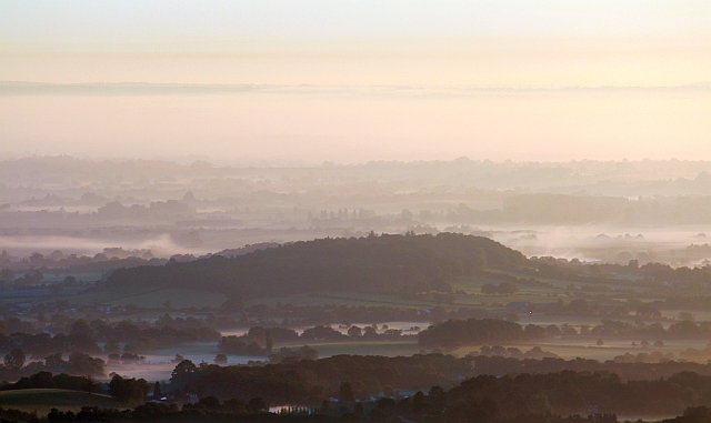
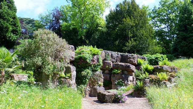
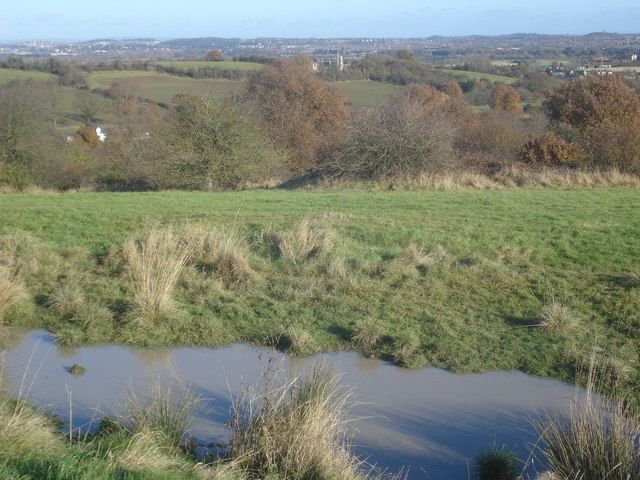
Orles Coppice is a wood located in Worcestershire, England. Situated in a rural area, it covers an area of approximately 50 hectares and is renowned for its scenic beauty and diverse wildlife. The coppice is predominantly made up of broadleaf trees, including oak, ash, and beech, which create a dense and lush canopy that provides shelter for a variety of flora and fauna.
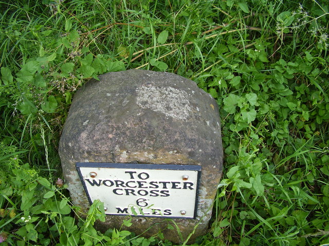
The woodland is crisscrossed by several walking trails, offering visitors the opportunity to explore its picturesque surroundings. These trails meander through the coppice, taking hikers through a patchwork of ancient woodlands, open meadows, and small streams. The diverse ecosystem supports an array of wildlife, including badgers, foxes, squirrels, and a variety of bird species such as woodpeckers and songbirds.
One of the unique features of Orles Coppice is its historical significance. The site has been in existence for centuries and has served various purposes throughout its history, including timber production and as a hunting ground for local nobility. Today, the coppice is managed by a local conservation trust, ensuring its preservation and protection.
The wood attracts visitors throughout the year, with each season bringing its own charm. In spring, the forest floor is carpeted with bluebells and other wildflowers, while autumn paints the trees in vibrant hues of red, orange, and gold. The woodland also holds educational events and guided tours, allowing visitors to learn more about its ecological importance and the efforts taken to maintain its biodiversity.
Overall, Orles Coppice is a haven of natural beauty and tranquility. It offers visitors a chance to escape the hustle and bustle of modern life and immerse themselves in the serenity of nature.
If you have any feedback on the listing, please let us know in the comments section below.
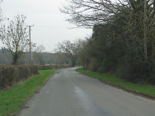
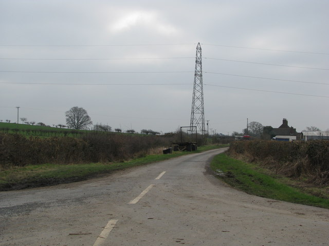
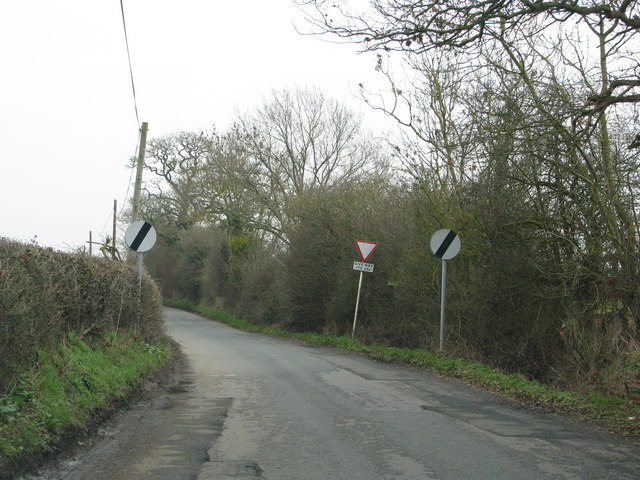
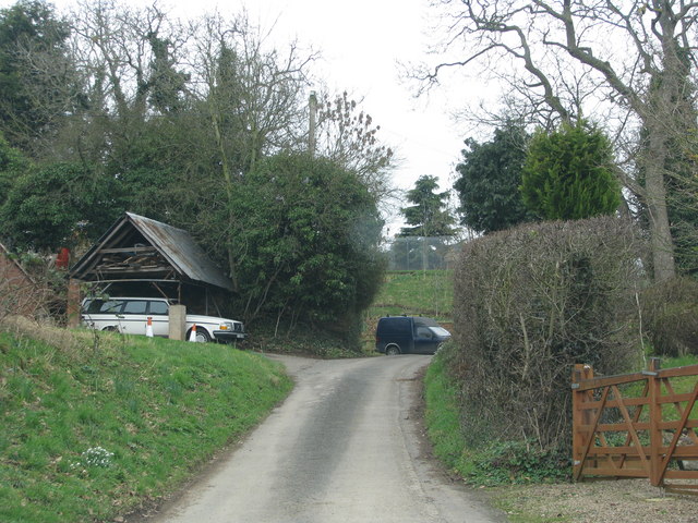
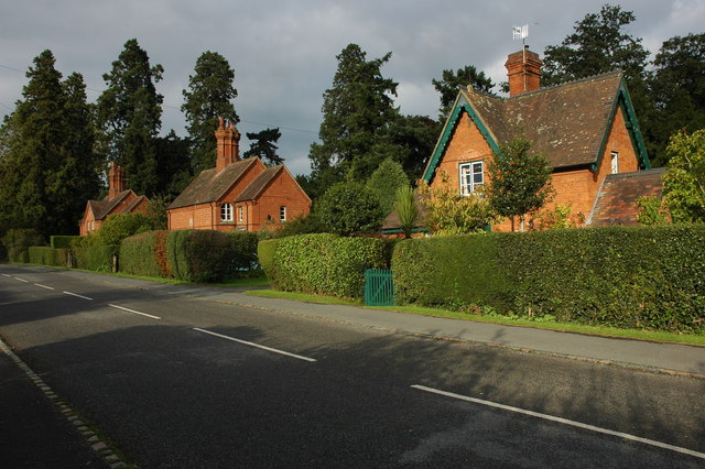
Orles Coppice Images
Images are sourced within 2km of 52.11641/-2.2703917 or Grid Reference SO8146. Thanks to Geograph Open Source API. All images are credited.


Orles Coppice is located at Grid Ref: SO8146 (Lat: 52.11641, Lng: -2.2703917)
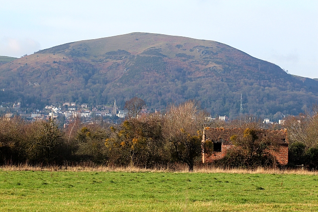
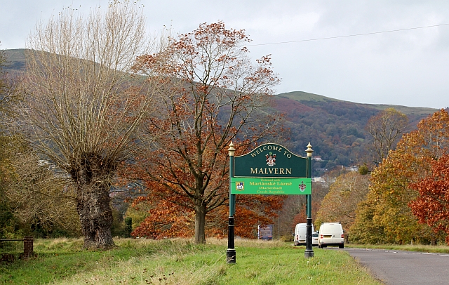
Administrative County: Worcestershire
District: Malvern Hills
Police Authority: West Mercia
What 3 Words
///cleanest.progress.luggage. Near Great Malvern, Worcestershire
Nearby Locations
Related Wikis

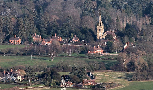
Guarlford
Guarlford is a village and civil parish in the Malvern Hills district in the county of Worcestershire, England. The parish population was 261 in 2021.It...

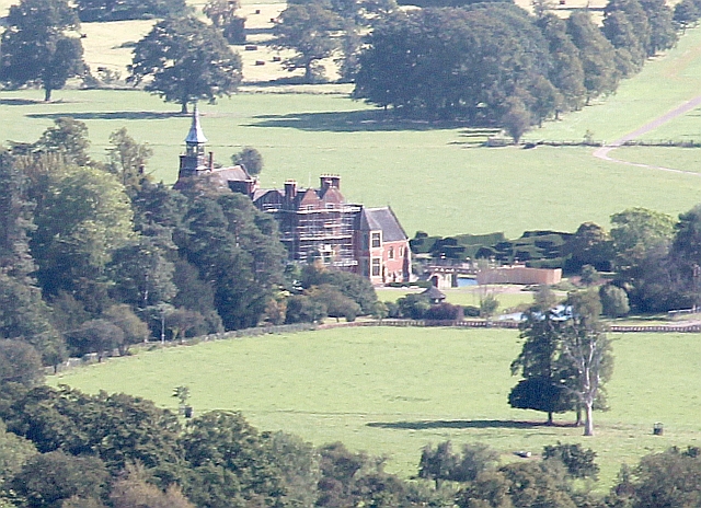
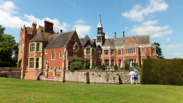
Madresfield Court
Madresfield Court is a country house in Malvern, Worcestershire, England. The home of the Lygon family for nearly six centuries, it has never been sold...

Clevelode
Clevelode is a small village in Worcestershire, England. It is located around 5 miles south of Worcester just to the west of the River Severn. Clevelode...
Madresfield
Madresfield is a village and civil parish in the administrative district of Malvern Hills in the county of Worcestershire, England. It is located about...

Sherrard's Green
Sherrard's Green is a village and a suburb of Malvern, Worcestershire, England, situated approximately 1.5 miles (2.4 km) southeast of Great Malvern, the...

Malvern Town F.C.
Malvern Town Football Club is a football club based in Malvern, Worcestershire, England. They are currently members of the Southern League Division One...
Old Hills
The Old Hills are an area of common land in Worcestershire, England. They are located around two miles to the east of Great Malvern and about a mile west...

The Rhydd
The Rhydd (formerly Rhydd Court) is an English country house alongside the River Severn, near the village of Hanley Castle, Worcestershire, about halfway...
Have you been to Orles Coppice?
Leave your review of Orles Coppice below (or comments, questions and feedback).