Home Woods

Wood, Forest in Wiltshire

England

Home Woods

Lane in West Kington Wick Looking south west up the hill towards North Wraxall from West Kington Wick crossroads.
Lane in West Kington Wick Credit: Kevin Pearson

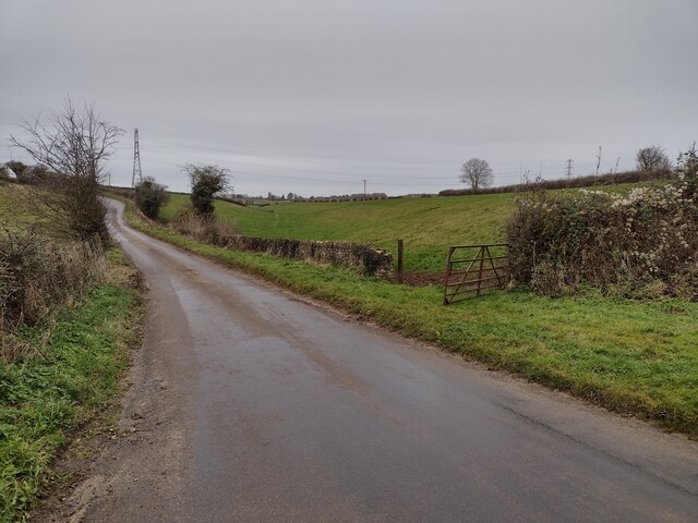
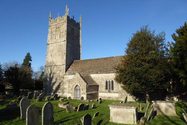
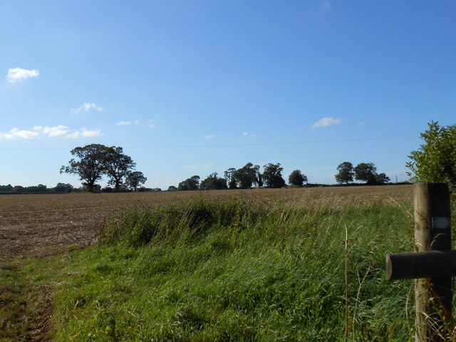
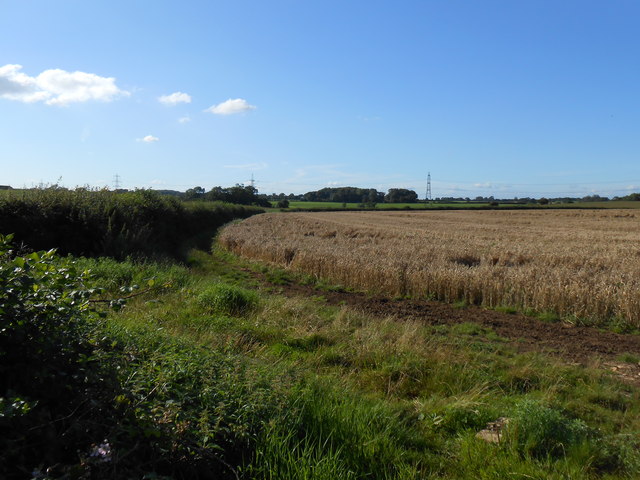
Home Woods is a picturesque woodland located in the county of Wiltshire, England. Spanning over a vast area, this woodland is a prominent feature of the local landscape and is known for its natural beauty and rich biodiversity. Home Woods is situated in close proximity to the village of Home, which adds to its charm and accessibility.

The woodland is primarily composed of deciduous trees, such as oak, beech, and ash, which provide a lush canopy, especially during the summer months. These trees create a serene and tranquil atmosphere, making it a popular destination for nature lovers and hikers. The forest floor is covered in a dense carpet of moss, ferns, and wildflowers, further enhancing its natural beauty.

Home Woods is home to a diverse range of wildlife, including various bird species, such as woodpeckers, owls, and thrushes. The woodland also provides a habitat for mammals like deer, foxes, and badgers, which can occasionally be spotted by visitors. The presence of a small stream running through the woods adds to its appeal and provides a watering hole for the local wildlife.

The woodland is well-maintained, with designated footpaths and trails that allow visitors to explore its beauty while preserving its natural ecosystem. The local community actively participates in the conservation efforts and organizes events and workshops to raise awareness about the importance of preserving this natural treasure.

Overall, Home Woods in Wiltshire is a haven for nature enthusiasts, offering a peaceful retreat from the hustle and bustle of daily life. Its stunning landscape, diverse wildlife, and community engagement make it a must-visit destination for anyone seeking solace in nature.

If you have any feedback on the listing, please let us know in the comments section below.
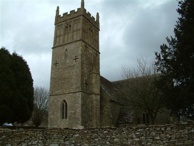
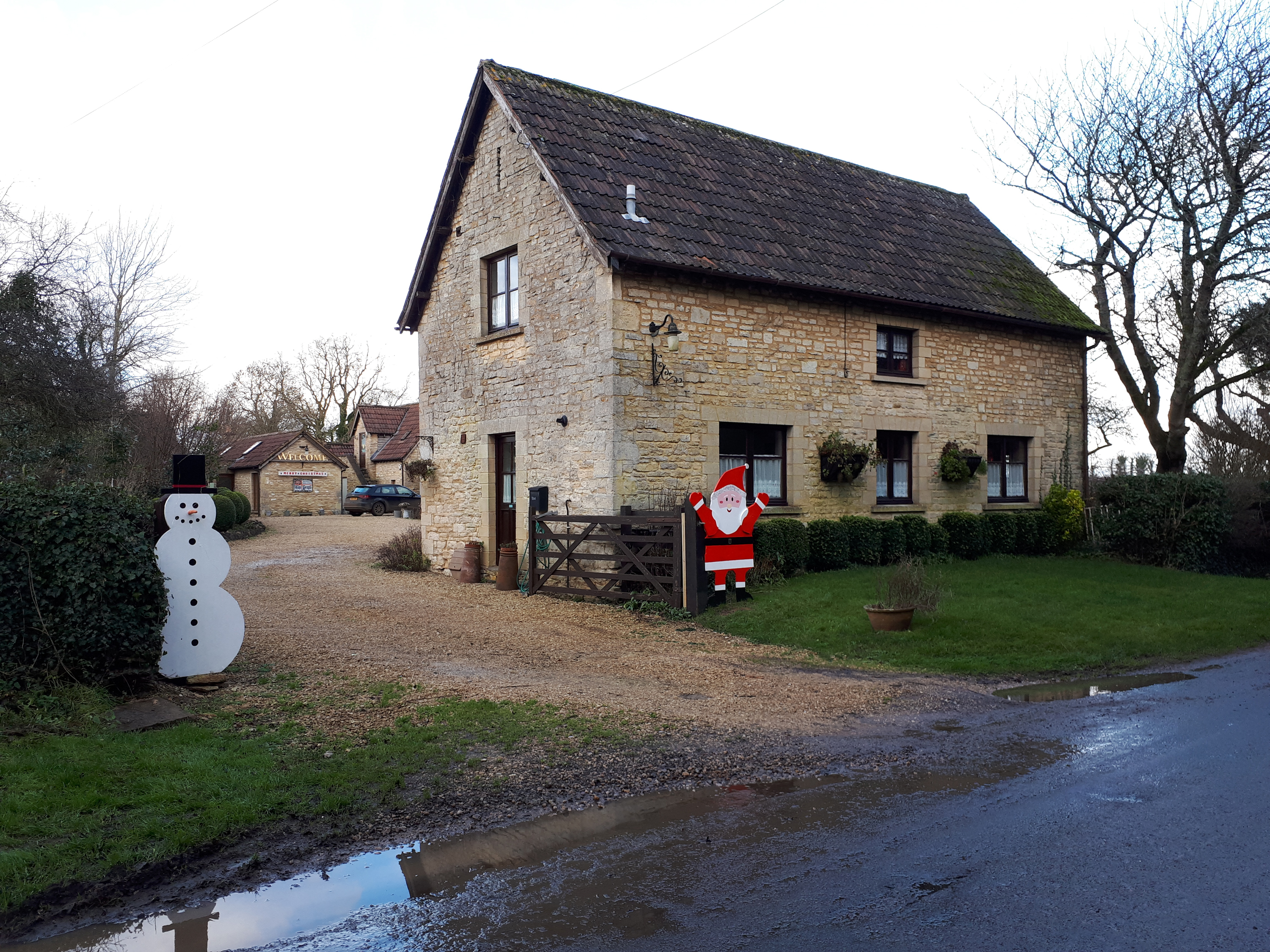
Home Woods Images

Images are sourced within 2km of 51.49594/-2.2666147 or Grid Reference ST8177. Thanks to Geograph Open Source API. All images are credited.

Lane in West Kington Wick Looking south west up the hill towards North Wraxall from West Kington Wick crossroads.
Lane in West Kington Wick
Looking south west up the hill towards North Wraxall from West Kington Wick crossroads.
West Kington Village Sign Sign for the village of West Kington, on Drifton Hill at the western end of the village.
West Kington Village Sign
Sign for the village of West Kington, on Drifton Hill at the western end of the village.
Drifton Hill, West Kington The bottom of Drifton Hill in West Kington, where it runs alongside the Broadmead Brook.
The cottages along Drifton Hill were one of the settings for the video for Safety Dance by Men Without Hats.
Drifton Hill, West Kington
The bottom of Drifton Hill in West Kington, where it runs alongside the Broadmead Brook. The cottages along Drifton Hill were one of the settings for the video for Safety Dance by Men Without Hats.
Junction of Drifton Hill in West Kington The junction at the top of Drifton Hill in West Kington, looking east down Wood Lane, with Smith Street straight ahead.
Junction of Drifton Hill in West Kington
The junction at the top of Drifton Hill in West Kington, looking east down Wood Lane, with Smith Street straight ahead.
Wood Lane, West Kington Looking down Wood Lane in West Kington, where it crosses the Broadmead Brook.  The lane leading to West Kington Wick is on the right.
Wood Lane, West Kington
Looking down Wood Lane in West Kington, where it crosses the Broadmead Brook. The lane leading to West Kington Wick is on the right.
Crossroads on the Fosse Way at West Kington Wick The crossroads at West Kington Wick on the Fosseway, looking north west back towards the village.
Crossroads on the Fosse Way at West Kington Wick
The crossroads at West Kington Wick on the Fosseway, looking north west back towards the village.
Ford on the Broadmead Brook  This ford and clapper bridge are found on the Broadmead Brook near Nettleton.
Ford on the Broadmead Brook
This ford and clapper bridge are found on the Broadmead Brook near Nettleton.
Burton church St Mary's church in Burton dates from the 13th century and is Grade I listed, see: <span class="nowrap"><a title="https://historicengland.org.uk/listing/the-list/list-entry/1022949?section=official-list-entry" rel="nofollow ugc noopener" href="https://historicengland.org.uk/listing/the-list/list-entry/1022949?section=official-list-entry">Link</a><img style="margin-left:2px;" alt="External link" title="External link - shift click to open in new window" src="https://s1.geograph.org.uk/img/external.png" width="10" height="10"/></span>
Burton church
St Mary's church in Burton dates from the 13th century and is Grade I listed, see: LinkExternal link
Lugbury long barrow, Nettleton The tall stone visible (Cromlech) on the right. Many skeletons were found inside in the 19th Century. The Roman Fosse Way is across the field.
Lugbury long barrow, Nettleton
The tall stone visible (Cromlech) on the right. Many skeletons were found inside in the 19th Century. The Roman Fosse Way is across the field.
Fosse Farm northerly aspect The front of the farm faces onto the Fosse Way and ancient Roman Trackway.
Fosse Farm northerly aspect
The front of the farm faces onto the Fosse Way and ancient Roman Trackway.
Broadmead Brook Bridge West Kington is a small Cotswold village strung along the steep sided valley of this small tributary of the River Avon. Its 19th C church is situated on higher ground behind the cottages in the picture.
Broadmead Brook Bridge
West Kington is a small Cotswold village strung along the steep sided valley of this small tributary of the River Avon. Its 19th C church is situated on higher ground behind the cottages in the picture.
Broadmead Brook south of Nettleton Shrub The Romans built several structures around Nettleton and here the small stream, which may have attracted them, runs down from Wick Wood to flow under The Fosse Way.
Broadmead Brook south of Nettleton Shrub
The Romans built several structures around Nettleton and here the small stream, which may have attracted them, runs down from Wick Wood to flow under The Fosse Way.
Little Fosse Farm In yet another allusion to the Roman Fosse Way this stone built farmhouse has something the Romans didn't - a prominent telegraph pole!
Little Fosse Farm
In yet another allusion to the Roman Fosse Way this stone built farmhouse has something the Romans didn't - a prominent telegraph pole!
Turning to Littleton Drew
Fields near Lugbury Farm This large arable field had been harvested and was awaiting ploughing and reseeding with the new crop. It is right next to, and borders the Fosse Way just east of Nettleton. From this point a footpath runs west to the village.
Fields near Lugbury Farm
This large arable field had been harvested and was awaiting ploughing and reseeding with the new crop. It is right next to, and borders the Fosse Way just east of Nettleton. From this point a footpath runs west to the village.
House at Lugbury Farm This house is in the extreme north west corner of the grid square where the Fosse Way just clips the north west corner of the square. The line of the old Roman road follows the lane on the right.
House at Lugbury Farm
This house is in the extreme north west corner of the grid square where the Fosse Way just clips the north west corner of the square. The line of the old Roman road follows the lane on the right.
Bridleway near Nettleton This bridleway follows an old tracks that runs from Lugbury Farm to the village of Norton.
Bridleway near Nettleton
This bridleway follows an old tracks that runs from Lugbury Farm to the village of Norton.
House at Burton Farm This modern house is part of the farm just to the south of the village of Burton which is mainly a pig farm with an extensive range of pig units.
House at Burton Farm
This modern house is part of the farm just to the south of the village of Burton which is mainly a pig farm with an extensive range of pig units.
Show me another place!

Home Woods is located at Grid Ref: ST8177 (Lat: 51.49594, Lng: -2.2666147)

Unitary Authority: Wiltshire

Police Authority: Wiltshire

What 3 Words

///rarely.forecast.clearcut. Near Nettleton, Wiltshire

Nearby Locations

Parsonage Wood Home Woods

Related Wikis

West Kington

West Kington is a village in the civil parish of Nettleton, in Wiltshire, England. The village lies in the steeply wooded valley of the Broadmead Brook...

Nettleton, Wiltshire

Nettleton is a village and civil parish about 6.5 miles (10.5 km) northwest of Chippenham in Wiltshire, England. The parish includes the villages of Burton...

Little Grubbins Meadow

Little Grubbins Meadow (grid reference ST831773) is a 3.0 hectare biological Site of Special Scientific Interest in Wiltshire, England, notified in 1975...

Fosse Farmhouse

Fosse Farmhouse is an 18th-century farmhouse in the English Cotswolds near the Fosse Way and Castle Combe. It is now used to provide hospitality and accommodation...

Nettleton Mill

Nettleton Mill is a mill house in Wiltshire, England, on the banks of the Bybrook River, to the south-east of Nettleton. Part of the Castle Combe estate...
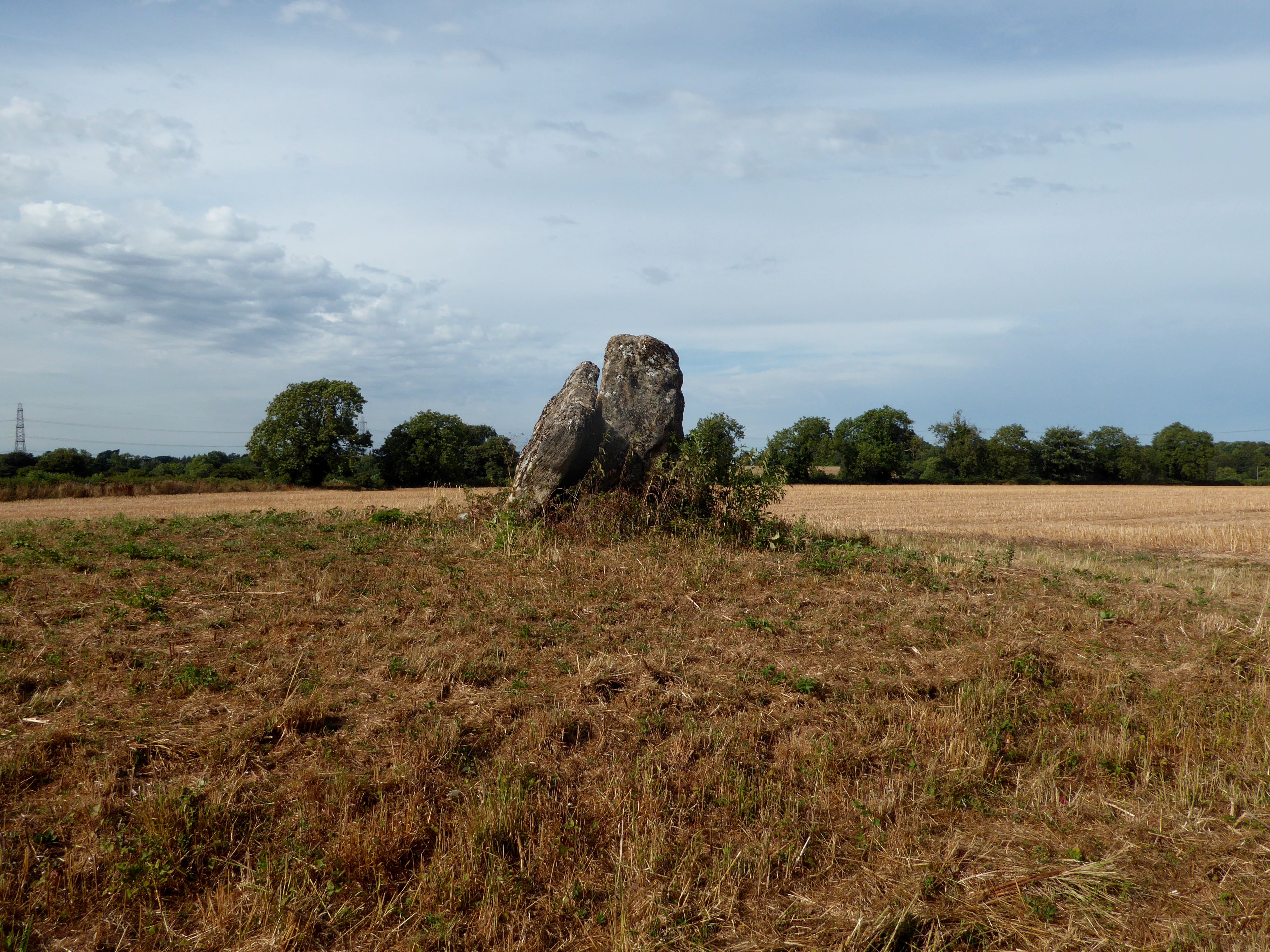
Lugbury Long Barrow

Lugbury Long Barrow is a prehistoric long barrow in Wiltshire, England, about 0.6 miles (1 km) east of Nettleton and about 1 mile (1.6 km) north-west of...

Burton, Nettleton

Burton is a small village in the Cotswolds Area of Outstanding Natural Beauty in Wiltshire, England. Kelly's 1915 Directory of Wiltshire identifies Burton...

Out Woods

Out Woods (grid reference ST833763) is a 14.3 hectare biological Site of Special Scientific Interest in Wiltshire, notified in 1975. It is an ancient Ash...

Nearby Amenities

Located within 500m of 51.49594,-2.2666147
Barrier: stile
Lat/Long: 51.4976221/-2.2658459
Barrier: stile
Lat/Long: 51.4984887/-2.2622517
Power: pole
Lat/Long: 51.4984249/-2.2610972
Power: pole
Lat/Long: 51.4975861/-2.2613377
Power: pole
Lat/Long: 51.4967392/-2.2616071
Power: pole
Lat/Long: 51.4958627/-2.2618756
Power: pole
Lat/Long: 51.4948494/-2.2621955
Power: pole
Lat/Long: 51.4938711/-2.2625107
Power: pole
Lat/Long: 51.492941/-2.2627914
The data included in this document is from www.openstreetmap.org. The data is made available under ODbL.

Have you been to Home Woods?

Leave your review of Home Woods below (or comments, questions and feedback).