Parsonage Wood

Wood, Forest in Wiltshire

England

Parsonage Wood

Lane in West Kington Wick Looking south west up the hill towards North Wraxall from West Kington Wick crossroads.
Lane in West Kington Wick Credit: Kevin Pearson

Parsonage Wood is a picturesque forest located in the county of Wiltshire, England. Situated on the outskirts of the small village of Parsonage, this woodland area covers an approximate area of 50 acres.

The forest is characterized by its dense canopy of tall, mature trees that provide a tranquil and serene atmosphere for visitors. The dominant tree species found in Parsonage Wood include oak, ash, and beech trees, which contribute to the rich biodiversity of the area. The forest floor is covered with a thick carpet of mosses, ferns, and wildflowers, creating a vibrant and colorful undergrowth.

The wood is home to a diverse range of wildlife, including various bird species, small mammals, and insects. Birdwatchers will be delighted to spot species such as woodpeckers, owls, and thrushes, among others. The forest also provides a habitat for mammals like foxes, badgers, and deer, which can occasionally be spotted by lucky visitors.

Parsonage Wood is a popular destination for nature enthusiasts, hikers, and photographers. Its well-maintained footpaths and trails offer excellent opportunities for leisurely walks and exploration. A visit to the forest provides a chance to reconnect with nature and enjoy the peaceful ambiance away from the hustle and bustle of urban life.

Overall, Parsonage Wood in Wiltshire is a beautiful and serene forest that offers a rich abundance of flora and fauna, making it an ideal destination for nature lovers and those seeking a peaceful retreat.

If you have any feedback on the listing, please let us know in the comments section below.

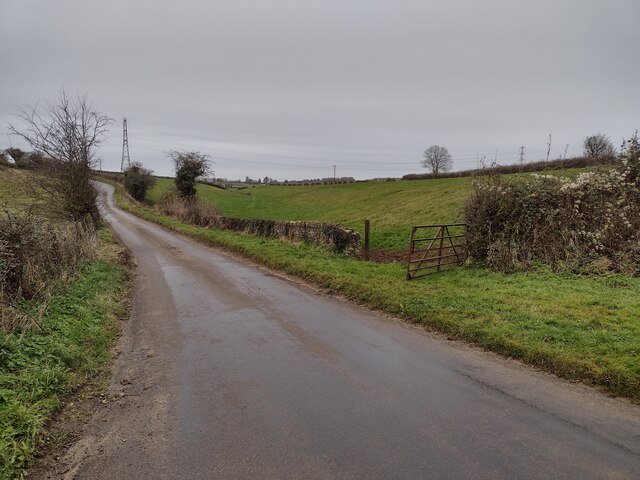
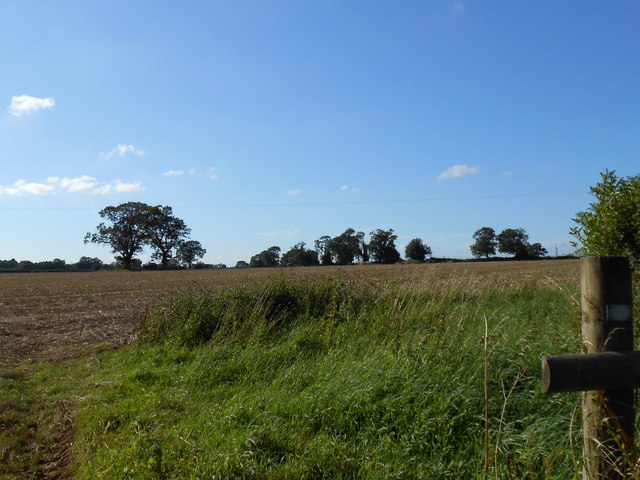
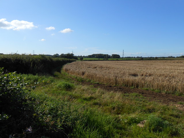
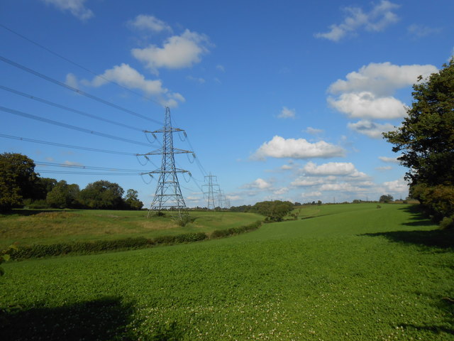
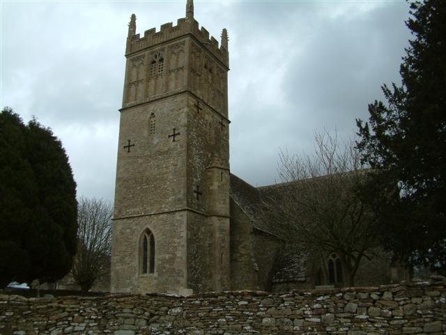
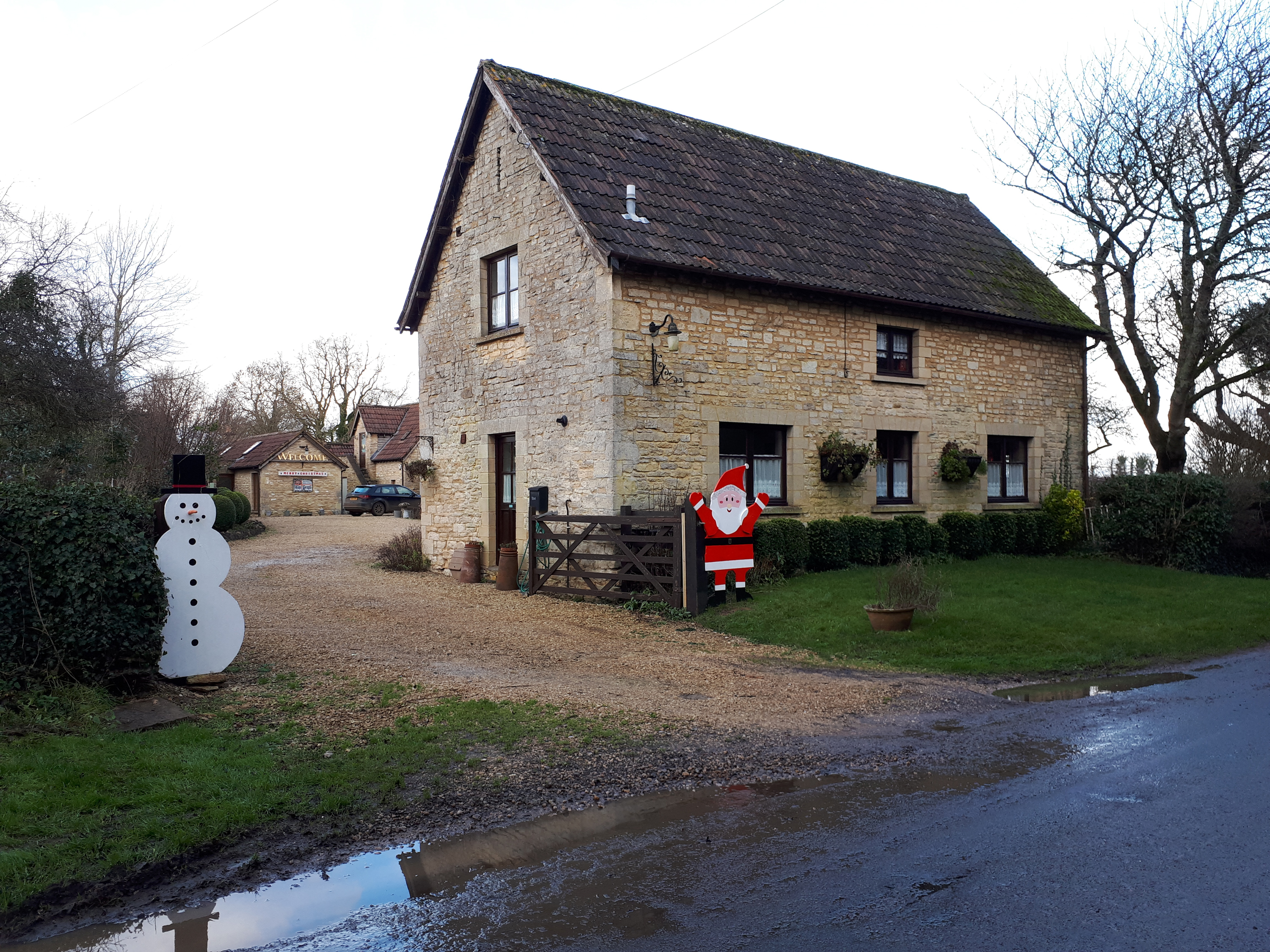
Parsonage Wood Images

Images are sourced within 2km of 51.493456/-2.2674356 or Grid Reference ST8177. Thanks to Geograph Open Source API. All images are credited.

Lane in West Kington Wick Looking south west up the hill towards North Wraxall from West Kington Wick crossroads.
Lane in West Kington Wick
Looking south west up the hill towards North Wraxall from West Kington Wick crossroads.
West Kington Village Sign Sign for the village of West Kington, on Drifton Hill at the western end of the village.
West Kington Village Sign
Sign for the village of West Kington, on Drifton Hill at the western end of the village.
Drifton Hill, West Kington The bottom of Drifton Hill in West Kington, where it runs alongside the Broadmead Brook.
The cottages along Drifton Hill were one of the settings for the video for Safety Dance by Men Without Hats.
Drifton Hill, West Kington
The bottom of Drifton Hill in West Kington, where it runs alongside the Broadmead Brook. The cottages along Drifton Hill were one of the settings for the video for Safety Dance by Men Without Hats.
Junction of Drifton Hill in West Kington The junction at the top of Drifton Hill in West Kington, looking east down Wood Lane, with Smith Street straight ahead.
Junction of Drifton Hill in West Kington
The junction at the top of Drifton Hill in West Kington, looking east down Wood Lane, with Smith Street straight ahead.
Wood Lane, West Kington Looking down Wood Lane in West Kington, where it crosses the Broadmead Brook.  The lane leading to West Kington Wick is on the right.
Wood Lane, West Kington
Looking down Wood Lane in West Kington, where it crosses the Broadmead Brook. The lane leading to West Kington Wick is on the right.
Crossroads on the Fosse Way at West Kington Wick The crossroads at West Kington Wick on the Fosseway, looking north west back towards the village.
Crossroads on the Fosse Way at West Kington Wick
The crossroads at West Kington Wick on the Fosseway, looking north west back towards the village.
Ford on the Broadmead Brook  This ford and clapper bridge are found on the Broadmead Brook near Nettleton.
Ford on the Broadmead Brook
This ford and clapper bridge are found on the Broadmead Brook near Nettleton.
Fosse Farm northerly aspect The front of the farm faces onto the Fosse Way and ancient Roman Trackway.
Fosse Farm northerly aspect
The front of the farm faces onto the Fosse Way and ancient Roman Trackway.
Broadmead Brook Bridge West Kington is a small Cotswold village strung along the steep sided valley of this small tributary of the River Avon. Its 19th C church is situated on higher ground behind the cottages in the picture.
Broadmead Brook Bridge
West Kington is a small Cotswold village strung along the steep sided valley of this small tributary of the River Avon. Its 19th C church is situated on higher ground behind the cottages in the picture.
Broadmead Brook south of Nettleton Shrub The Romans built several structures around Nettleton and here the small stream, which may have attracted them, runs down from Wick Wood to flow under The Fosse Way.
Broadmead Brook south of Nettleton Shrub
The Romans built several structures around Nettleton and here the small stream, which may have attracted them, runs down from Wick Wood to flow under The Fosse Way.
Little Fosse Farm In yet another allusion to the Roman Fosse Way this stone built farmhouse has something the Romans didn't - a prominent telegraph pole!
Little Fosse Farm
In yet another allusion to the Roman Fosse Way this stone built farmhouse has something the Romans didn't - a prominent telegraph pole!
Turning to Littleton Drew
Fields near Lugbury Farm This large arable field had been harvested and was awaiting ploughing and reseeding with the new crop. It is right next to, and borders the Fosse Way just east of Nettleton. From this point a footpath runs west to the village.
Fields near Lugbury Farm
This large arable field had been harvested and was awaiting ploughing and reseeding with the new crop. It is right next to, and borders the Fosse Way just east of Nettleton. From this point a footpath runs west to the village.
House at Lugbury Farm This house is in the extreme north west corner of the grid square where the Fosse Way just clips the north west corner of the square. The line of the old Roman road follows the lane on the right.
House at Lugbury Farm
This house is in the extreme north west corner of the grid square where the Fosse Way just clips the north west corner of the square. The line of the old Roman road follows the lane on the right.
Bridleway near Nettleton This bridleway follows an old tracks that runs from Lugbury Farm to the village of Norton.
Bridleway near Nettleton
This bridleway follows an old tracks that runs from Lugbury Farm to the village of Norton.
Powerlines Near Nettleton These powerlines are in the very north east corner of the grid square. The pylon in the middle of the image is actually in ST8278. Most of the sloping land in this area is pasture land.
Powerlines Near Nettleton
These powerlines are in the very north east corner of the grid square. The pylon in the middle of the image is actually in ST8278. Most of the sloping land in this area is pasture land.
Powerlines near Fosse Farm This powerline runs straight across the Fosse Way east of Mountain Bower and north of North Wraxall. The fields in this area are a mix of pasture and arable. A footpath to West Kington runs on the other side of the fence on the right.
Powerlines near Fosse Farm
This powerline runs straight across the Fosse Way east of Mountain Bower and north of North Wraxall. The fields in this area are a mix of pasture and arable. A footpath to West Kington runs on the other side of the fence on the right.
Fosse Way near West Kington Wick At this point the old Roman road on its route south towards Bath is halfway up the ascent out of the valley of the By Brook towards the elevated ground near North Wraxall. It is showing the typical Roman road "straightness". This is a very quiet stretch of the Fosse way compared with some very busy sections in Warwickshire.
Fosse Way near West Kington Wick
At this point the old Roman road on its route south towards Bath is halfway up the ascent out of the valley of the By Brook towards the elevated ground near North Wraxall. It is showing the typical Roman road "straightness". This is a very quiet stretch of the Fosse way compared with some very busy sections in Warwickshire.
Show me another place!

Parsonage Wood is located at Grid Ref: ST8177 (Lat: 51.493456, Lng: -2.2674356)

Unitary Authority: Wiltshire

Police Authority: Wiltshire

What 3 Words

///crows.bumping.dabbled. Near Nettleton, Wiltshire

Nearby Locations

Parsonage Wood Home Woods

Related Wikis

West Kington

West Kington is a village in the civil parish of Nettleton, in Wiltshire, England. The village lies in the steeply wooded valley of the Broadmead Brook...

Nettleton, Wiltshire

Nettleton is a village and civil parish about 6.5 miles (10.5 km) northwest of Chippenham in Wiltshire, England. The parish includes the villages of Burton...

Little Grubbins Meadow

Little Grubbins Meadow (grid reference ST831773) is a 3.0 hectare biological Site of Special Scientific Interest in Wiltshire, England, notified in 1975...

Fosse Farmhouse

Fosse Farmhouse is an 18th-century farmhouse in the English Cotswolds near the Fosse Way and Castle Combe. It is now used to provide hospitality and accommodation...

Nearby Amenities

Located within 500m of 51.493456,-2.2674356
Barrier: stile
Lat/Long: 51.4976221/-2.2658459
Power: pole
Lat/Long: 51.4958627/-2.2618756
Power: pole
Lat/Long: 51.4948494/-2.2621955
Power: pole
Lat/Long: 51.4938711/-2.2625107
Power: pole
Lat/Long: 51.492941/-2.2627914
Direction: 135
Generator Method: photovoltaic
Generator Output Electricity: yes
Generator Solar Modules: 16
Generator Source: solar
Generator Type: solar_photovoltaic_panel
Location: roof
Power: generator
Lat/Long: 51.4922723/-2.2727547
The data included in this document is from www.openstreetmap.org. The data is made available under ODbL.

Have you been to Parsonage Wood?

Leave your review of Parsonage Wood below (or comments, questions and feedback).