Beaudesert Plantation
Wood, Forest in Staffordshire South Staffordshire
England
Beaudesert Plantation
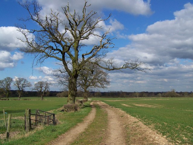
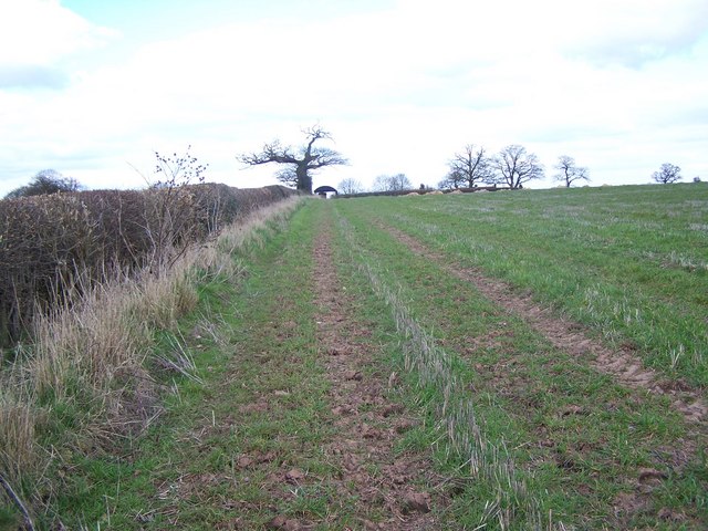
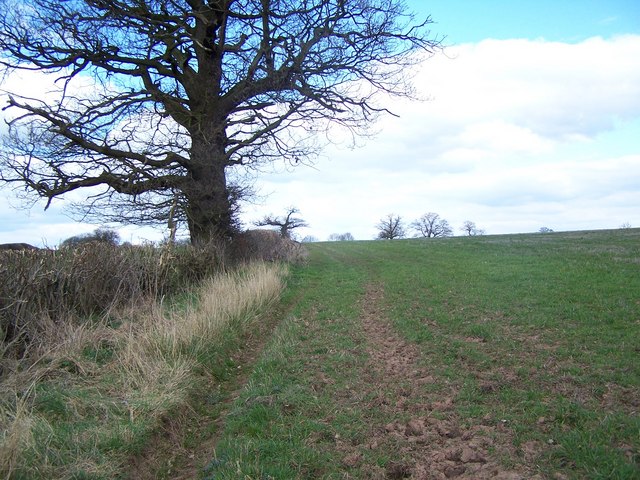
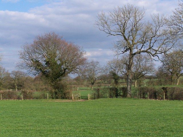
Beaudesert Plantation is a historic woodland located in Staffordshire, England. Covering an area of approximately 1,200 acres, it is known for its picturesque beauty and diverse range of flora and fauna. The plantation is situated within the Cannock Chase Area of Outstanding Natural Beauty, making it a popular destination for nature enthusiasts and hikers.
The woodland is primarily made up of mature oak and beech trees, which provide a dense canopy and create a serene atmosphere. It is home to a variety of wildlife, including deer, foxes, badgers, and a wide range of bird species. The plantation's diverse ecosystem also supports a number of rare and protected plant species.
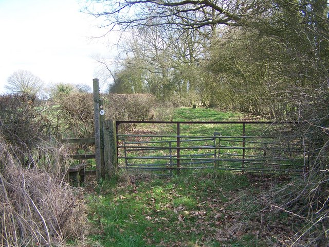
Beaudesert Plantation has a rich history dating back to the medieval period when it was part of the extensive Beaudesert Estate. The estate was owned by the Paget family, who were influential landowners in the area. The plantation itself was used for timber production and game hunting.
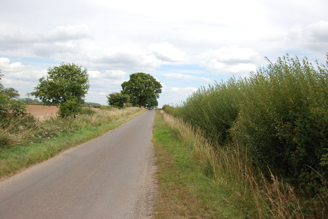
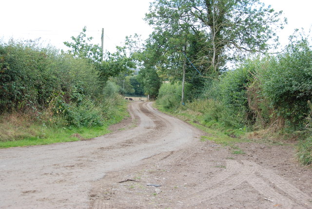
Today, the plantation is managed by the Forestry Commission and is open to the public. It offers a network of well-maintained footpaths and trails, allowing visitors to explore the woodland's beauty at their leisure. The plantation also features a visitor center, which provides information about the local wildlife and offers educational programs for schools and community groups.
Overall, Beaudesert Plantation is a cherished natural treasure in Staffordshire, offering a tranquil escape and a chance to appreciate the beauty of the region's woodlands.
If you have any feedback on the listing, please let us know in the comments section below.
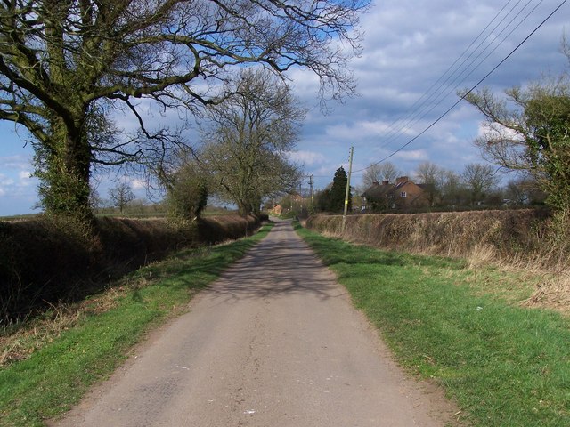
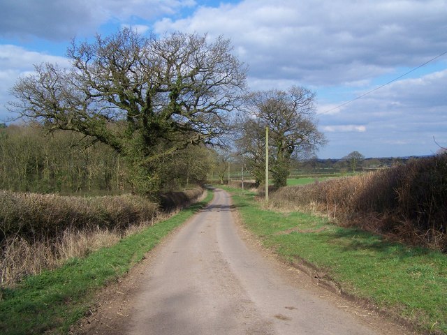
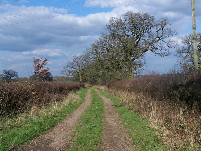
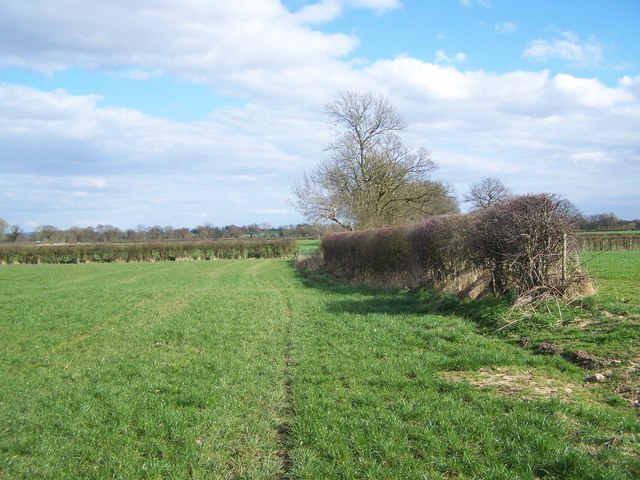
Beaudesert Plantation Images
Images are sourced within 2km of 52.71095/-2.2748553 or Grid Reference SJ8112. Thanks to Geograph Open Source API. All images are credited.


Beaudesert Plantation is located at Grid Ref: SJ8112 (Lat: 52.71095, Lng: -2.2748553)
Administrative County: Staffordshire
District: South Staffordshire
Police Authority: Staffordshire
What 3 Words
///swan.firelight.nurture. Near Wheaton Aston, Staffordshire
Nearby Locations
Related Wikis
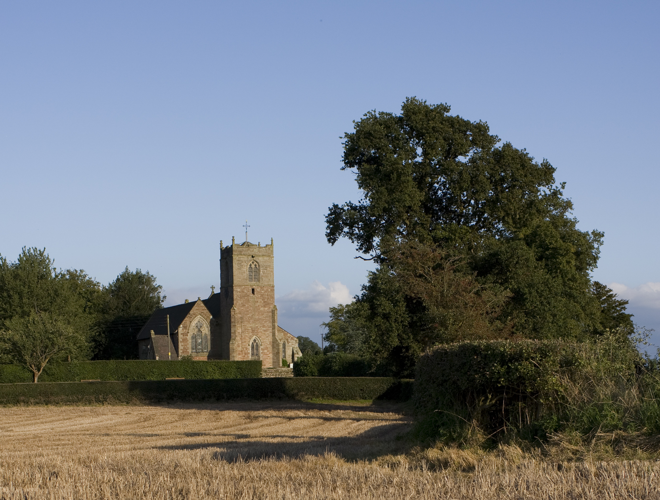
St Mary's Church, Blymhill
St. Mary's Church, Blymhill is an Anglican church in the village of Blymhill, Staffordshire, England (grid reference SJ808122). The building, which is...

Brineton
Brineton is a hamlet in Staffordshire, England. It is 3/4 mile north of the village of Blymhill, and is within the civil parish of Blymhill and Weston...

Blymhill and Weston-under-Lizard
Blymhill and Weston-under-Lizard is a civil parish in the South Staffordshire district of Staffordshire, near the border with Shropshire in England. According...
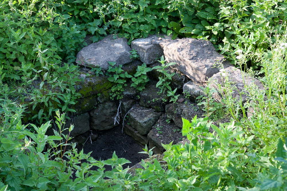
Elder Well
The Elder Well is a holy well located at Blymhill Marsh, close to the village of Blymhill, Staffordshire. It can be found among Elder trees on the north...
Nearby Amenities
Located within 500m of 52.71095,-2.2748553Have you been to Beaudesert Plantation?
Leave your review of Beaudesert Plantation below (or comments, questions and feedback).