Flasher's Wood
Wood, Forest in Worcestershire Malvern Hills
England
Flasher's Wood
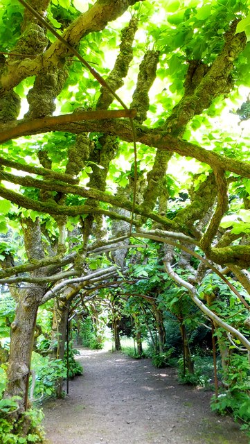
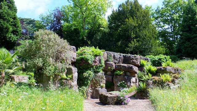
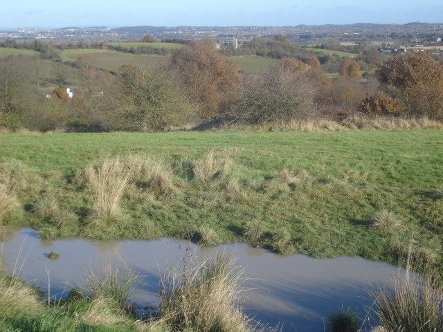
Flasher's Wood is a picturesque and enchanting forest located in Worcestershire, England. Covering an area of approximately 100 acres, it is a popular destination for nature lovers, hikers, and wildlife enthusiasts. The wood is characterized by its diverse range of flora and fauna, making it a haven for biodiversity.
The woodland is predominantly composed of oak, beech, and ash trees, with their towering canopies providing a tranquil and shady atmosphere. The forest floor is adorned with an array of wildflowers, ferns, and mosses, creating a tapestry of vibrant colors throughout the seasons.
Flasher's Wood is crisscrossed by a network of well-maintained footpaths and trails, offering visitors the opportunity to explore its natural beauty. The paths wind through the dense foliage, occasionally opening up to reveal panoramic views of the surrounding countryside. Along the way, visitors may encounter a variety of wildlife, including deer, foxes, squirrels, and a diverse range of bird species.
The wood is also home to a small pond, which acts as a watering hole for numerous animals and attracts a variety of aquatic birds. The tranquil ambiance of the pond provides a perfect spot for relaxation and birdwatching.
Flasher's Wood is managed by a local conservation organization, ensuring the preservation of its natural habitat and the protection of its wildlife. It offers an idyllic retreat from the hustle and bustle of modern life, allowing visitors to immerse themselves in the beauty of nature and enjoy a peaceful escape in Worcestershire's stunning countryside.
If you have any feedback on the listing, please let us know in the comments section below.
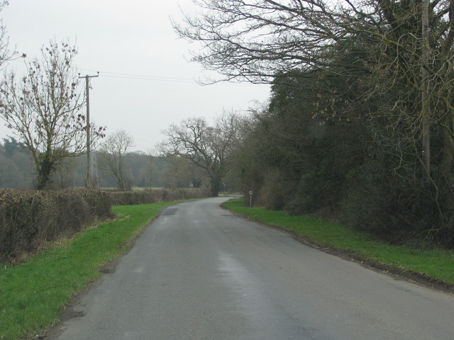
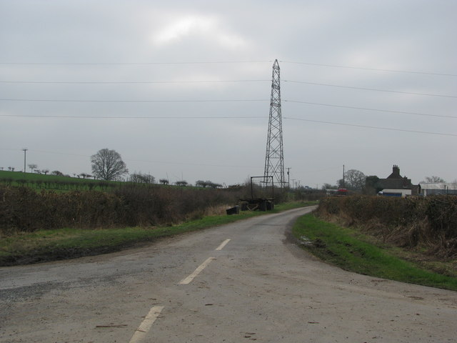
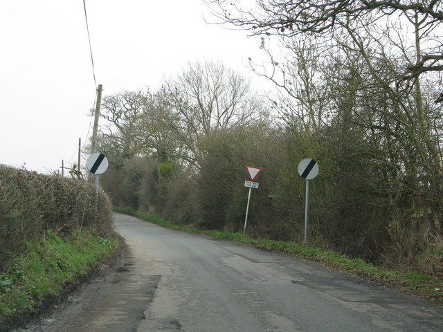
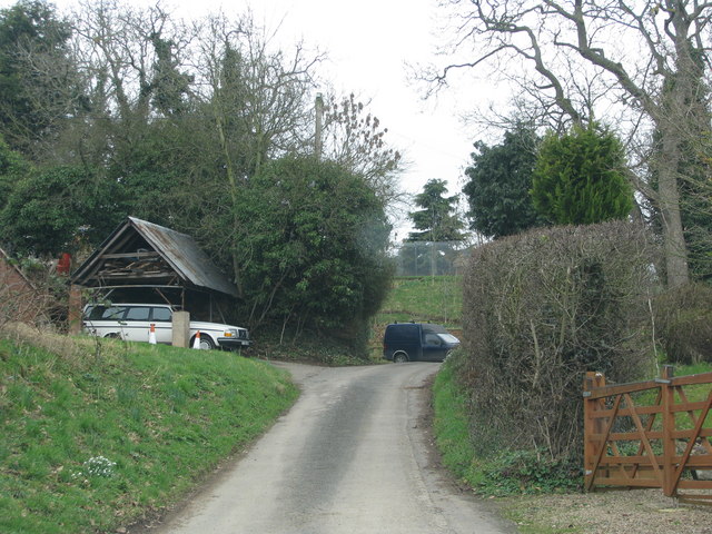
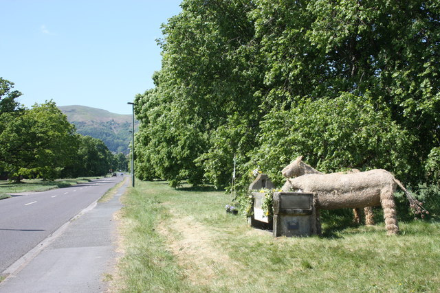
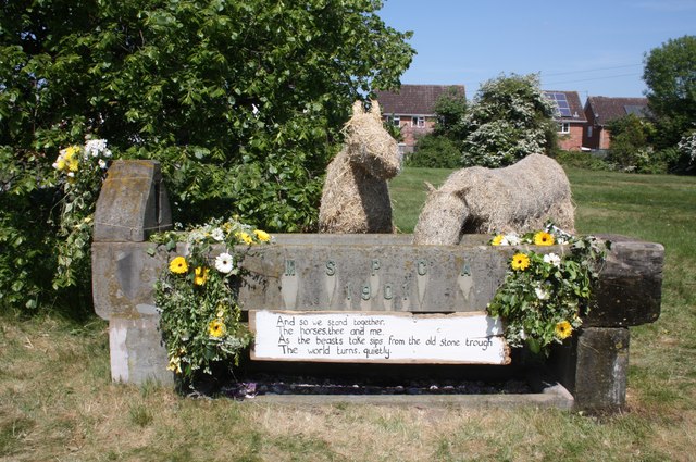
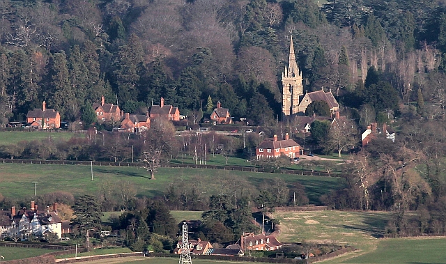
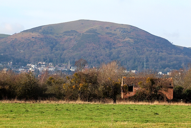
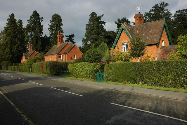
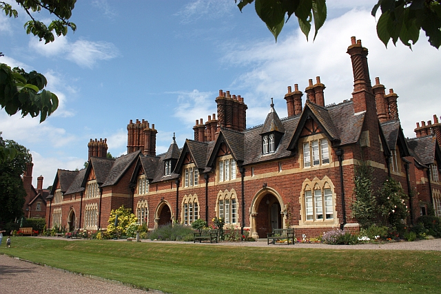
Flasher's Wood Images
Images are sourced within 2km of 52.119562/-2.2758731 or Grid Reference SO8146. Thanks to Geograph Open Source API. All images are credited.


Flasher's Wood is located at Grid Ref: SO8146 (Lat: 52.119562, Lng: -2.2758731)
Administrative County: Worcestershire
District: Malvern Hills
Police Authority: West Mercia
What 3 Words
///hockey.standards.wasps. Near Great Malvern, Worcestershire
Nearby Locations
Related Wikis

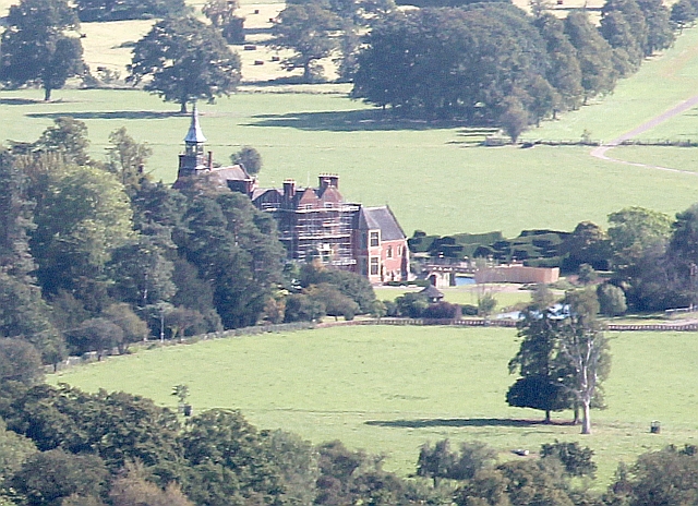
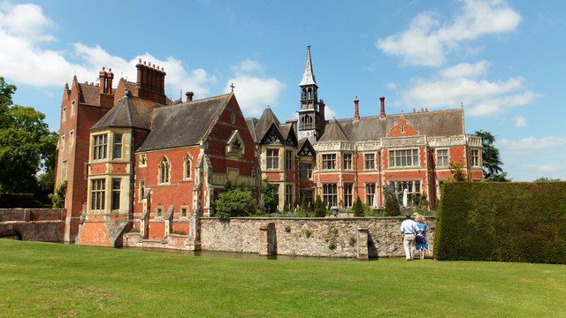
Madresfield Court
Madresfield Court is a country house in Malvern, Worcestershire, England. The home of the Lygon family for nearly six centuries, it has never been sold...
Madresfield
Madresfield is a village and civil parish in the administrative district of Malvern Hills in the county of Worcestershire, England. It is located about...

Guarlford
Guarlford is a village and civil parish in the Malvern Hills district in the county of Worcestershire, England. The parish population was 261 in 2021.It...

Clevelode
Clevelode is a small village in Worcestershire, England. It is located around 5 miles south of Worcester just to the west of the River Severn. Clevelode...

Sherrard's Green
Sherrard's Green is a village and a suburb of Malvern, Worcestershire, England, situated approximately 1.5 miles (2.4 km) southeast of Great Malvern, the...

Malvern Town F.C.
Malvern Town Football Club is a football club based in Malvern, Worcestershire, England. They are currently members of the Southern League Division One...
Newland, Worcestershire
Newland is a village and civil parish on the north-eastern edge of Malvern Link, Worcestershire, England, on the A449 road. The village lies on the edge...
Old Hills
The Old Hills are an area of common land in Worcestershire, England. They are located around two miles to the east of Great Malvern and about a mile west...
Have you been to Flasher's Wood?
Leave your review of Flasher's Wood below (or comments, questions and feedback).