Challenge's Grove
Wood, Forest in Wiltshire
England
Challenge's Grove
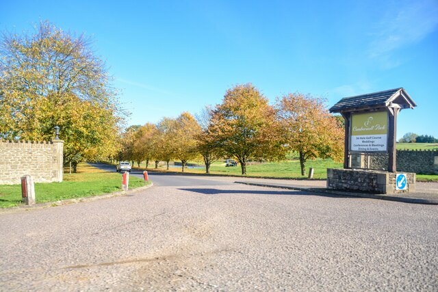
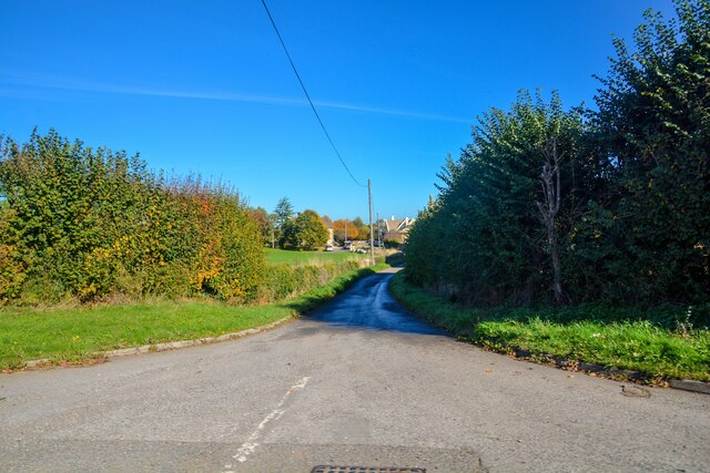
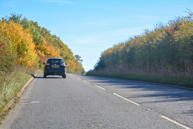
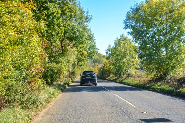
Challenge's Grove is a picturesque woodland located in Wiltshire, England. This enchanting forest covers an area of approximately 50 acres and is renowned for its diverse range of tree species. The grove is nestled within the beautiful countryside of Wiltshire, which adds to its tranquility and natural charm.
The woodland is home to a variety of tree species, including oak, beech, ash, and birch, creating a vibrant and lush canopy. The dense foliage provides a haven for numerous bird species, making it a popular spot for birdwatching enthusiasts. Visitors can expect to spot colorful birds such as blue tits, great tits, and woodpeckers.
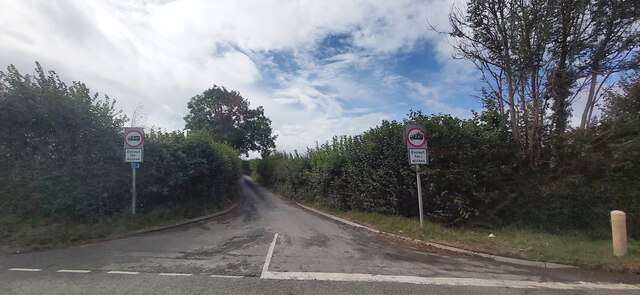
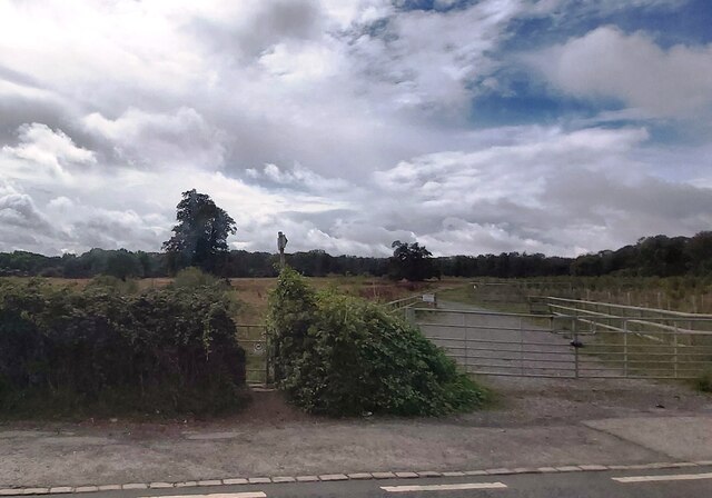
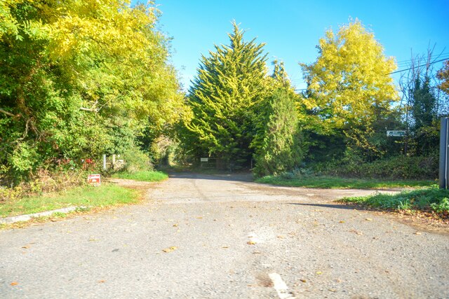
Challenge's Grove offers an idyllic setting for nature enthusiasts, walkers, and photographers alike. The forest boasts a network of well-maintained footpaths, allowing visitors to explore its enchanting beauty at their own pace. These paths wind their way through the trees, offering glimpses of sunlight filtering through the foliage and creating a magical atmosphere.
In addition to its natural beauty, Challenge's Grove also has a rich historical significance. It is believed that the woodland has been in existence since medieval times, and remnants of ancient settlements and burial mounds have been discovered within its boundaries.
Overall, Challenge's Grove is a captivating woodland that provides a serene escape from the hustle and bustle of everyday life. Its natural beauty, diverse wildlife, and historical significance make it a must-visit destination for nature lovers and history enthusiasts alike.
If you have any feedback on the listing, please let us know in the comments section below.
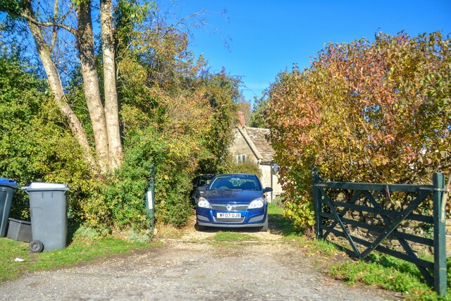
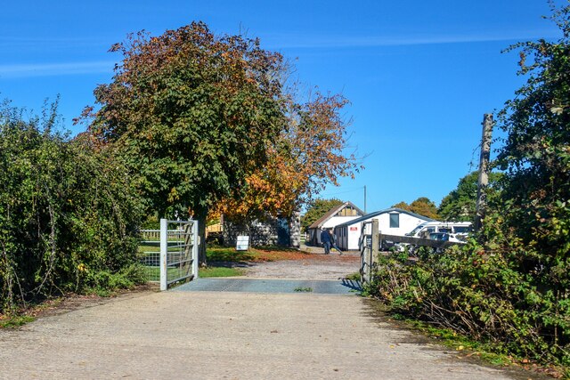
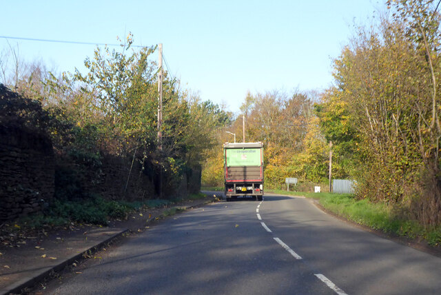
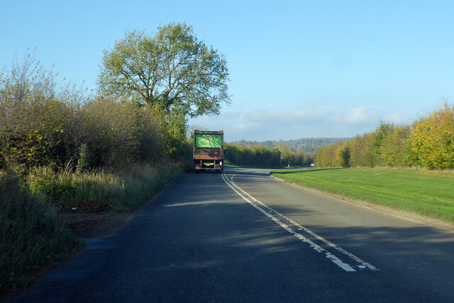
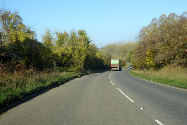
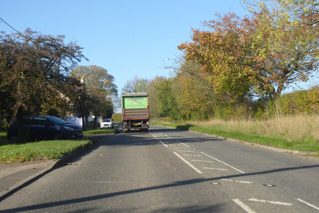
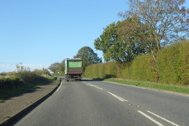
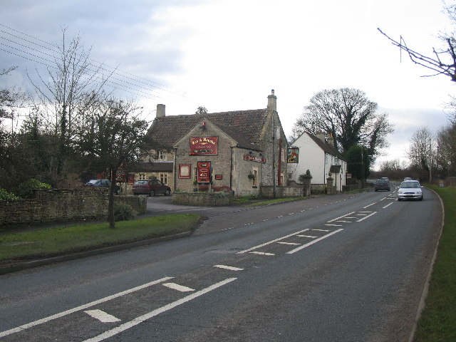
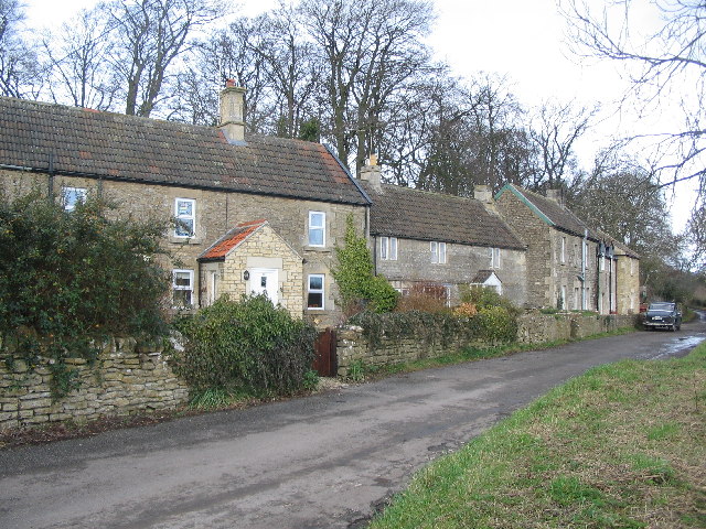
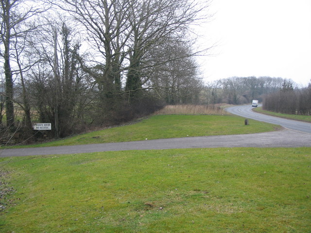
Challenge's Grove Images
Images are sourced within 2km of 51.370455/-2.277578 or Grid Reference ST8063. Thanks to Geograph Open Source API. All images are credited.
Challenge's Grove is located at Grid Ref: ST8063 (Lat: 51.370455, Lng: -2.277578)
Unitary Authority: Wiltshire
Police Authority: Wiltshire
What 3 Words
///acid.tricycle.flanked. Near Monkton Farleigh, Wiltshire
Nearby Locations
Related Wikis

Inwood, Warleigh
Inwood, Warleigh (grid reference ST800633) is a 56.9 hectare biological Site of Special Scientific Interest in Wiltshire, notified in 1988. Although the...
Harman Lines
Harman Lines is a military installation of the British Army, which is part of Warminster Garrison on the Salisbury Plain. Harman Lines is on Sack Road...

Warleigh Weir
Warleigh Weir is a river structure at Warleigh on the River Avon in Somerset, England, upstream from the city of Bath. The weir was originally built to...

Kennet and Avon Canal
The Kennet and Avon Canal is a waterway in southern England with an overall length of 87 miles (140 km), made up of two lengths of navigable river linked...

Conkwell
Conkwell is a hamlet in Winsley parish, Wiltshire, England, near the county border with North East Somerset. It is about 2.3 miles (3.7 km) west of Bradford...

Claverton Pumping Station
Claverton Pumping Station in the village of Claverton, in the English county of Somerset, pumps water from the River Avon to the Kennet and Avon Canal...
The Old Ride School
The Old Ride School (previously called The Old Ride Preparatory School) was an independent school in England, first at Canford Cliffs just outside Bournemouth...

Monkton Farleigh
Monkton Farleigh is a village and civil parish in west Wiltshire, England, on high ground 3 miles (5 km) northwest of Bradford-on-Avon, and a similar distance...
Nearby Amenities
Located within 500m of 51.370455,-2.277578Have you been to Challenge's Grove?
Leave your review of Challenge's Grove below (or comments, questions and feedback).