Rowley Copse
Wood, Forest in Wiltshire Mendip
England
Rowley Copse

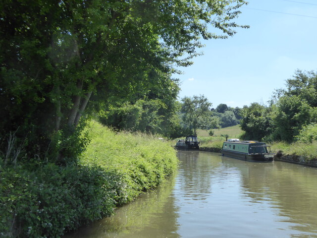
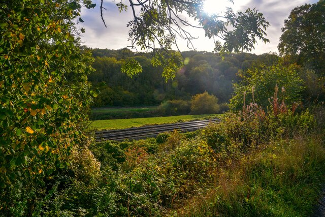
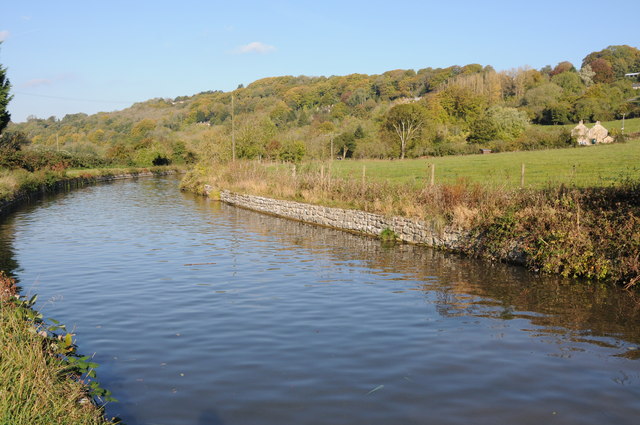
Rowley Copse is a charming woodland located in Wiltshire, England. It covers an area of approximately 50 acres and is situated near the village of Rowley. The copse is characterized by its diverse range of tree species and tranquil atmosphere, making it a popular destination for nature enthusiasts and those seeking a peaceful retreat.
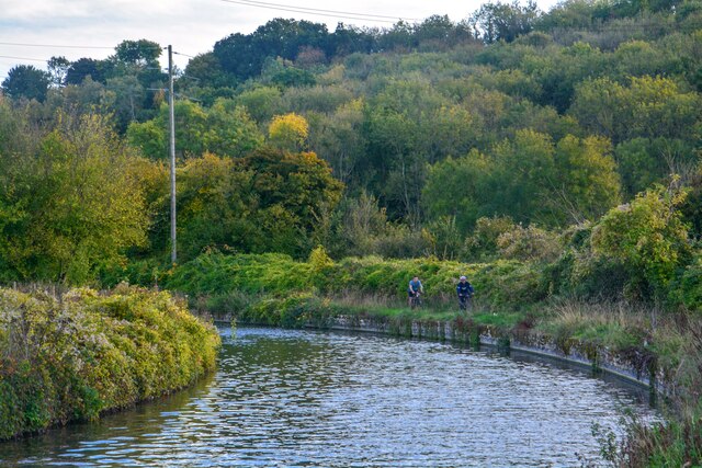
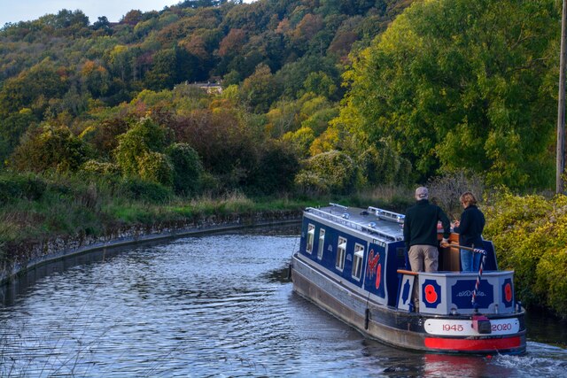
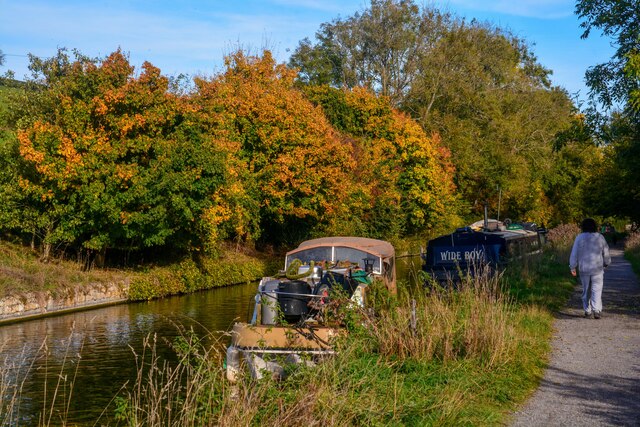
The woodland is primarily composed of broadleaf trees, such as oak, beech, and ash, which create a dense canopy above. These tall, majestic trees provide ample shade during the summer months and create a vibrant display of colors during autumn. The forest floor is covered with a rich carpet of moss, ferns, and wildflowers, adding to the overall beauty of the area.
Rowley Copse is home to a variety of wildlife, including deer, foxes, badgers, and a wide range of bird species. Nature lovers can often spot woodpeckers, owls, and various songbirds flitting among the trees. The copse also provides an ideal habitat for numerous insects and small mammals, contributing to the overall biodiversity of the area.
Visitors to Rowley Copse can enjoy a network of well-maintained trails that wind through the woodland, offering picturesque views and an opportunity to explore the natural surroundings. The copse is a popular destination for walking, jogging, and birdwatching, providing a peaceful escape from the hustle and bustle of everyday life.
Overall, Rowley Copse offers a serene and enchanting woodland experience, showcasing the natural beauty and biodiversity of Wiltshire.
If you have any feedback on the listing, please let us know in the comments section below.
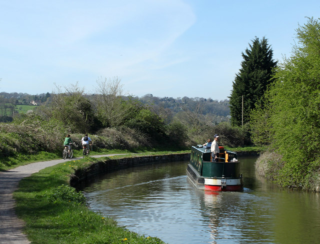
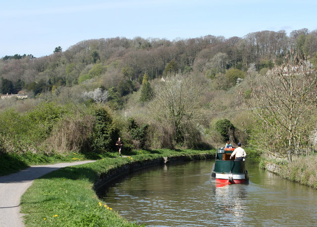
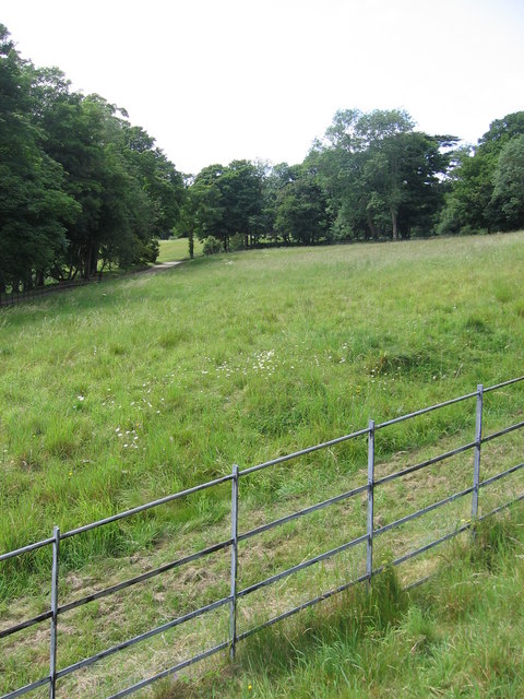
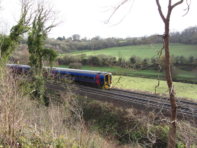
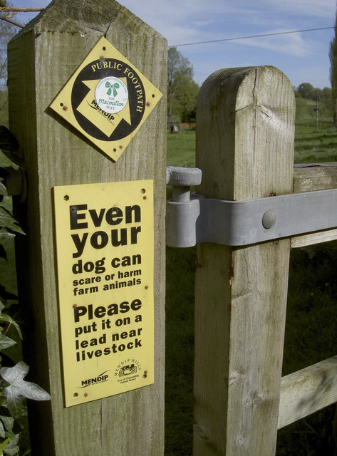
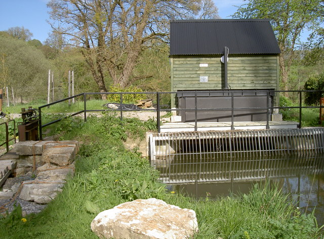
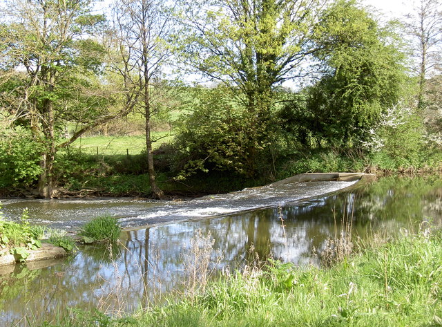
Rowley Copse Images
Images are sourced within 2km of 51.325182/-2.2773187 or Grid Reference ST8058. Thanks to Geograph Open Source API. All images are credited.

Rowley Copse is located at Grid Ref: ST8058 (Lat: 51.325182, Lng: -2.2773187)
Administrative County: Somerset
District: Mendip
Police Authority: Avon and Somerset
What 3 Words
///bars.shape.dame. Near Westwood, Wiltshire
Nearby Locations
Related Wikis
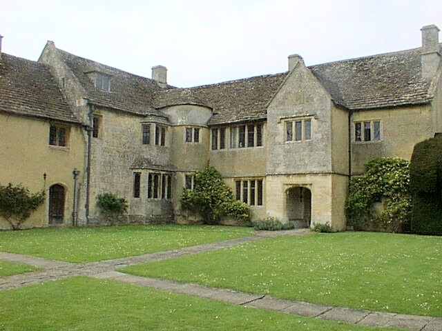
Westwood Manor
Westwood Manor is a 15th-century manor house with 16th-century additions and 17th-century plaster-work in the village of Westwood, near Bradford-on-Avon...

Westwood, Wiltshire
Westwood is a large village and a civil parish in west Wiltshire, England. The village is about 1.4 miles (2.3 km) southwest of the town of Bradford-on...

Iford Manor
Iford Manor (grid reference ST802589) is a manor house in Wiltshire, England. It is a Grade II* listed building sitting on the steep, south-facing slope...
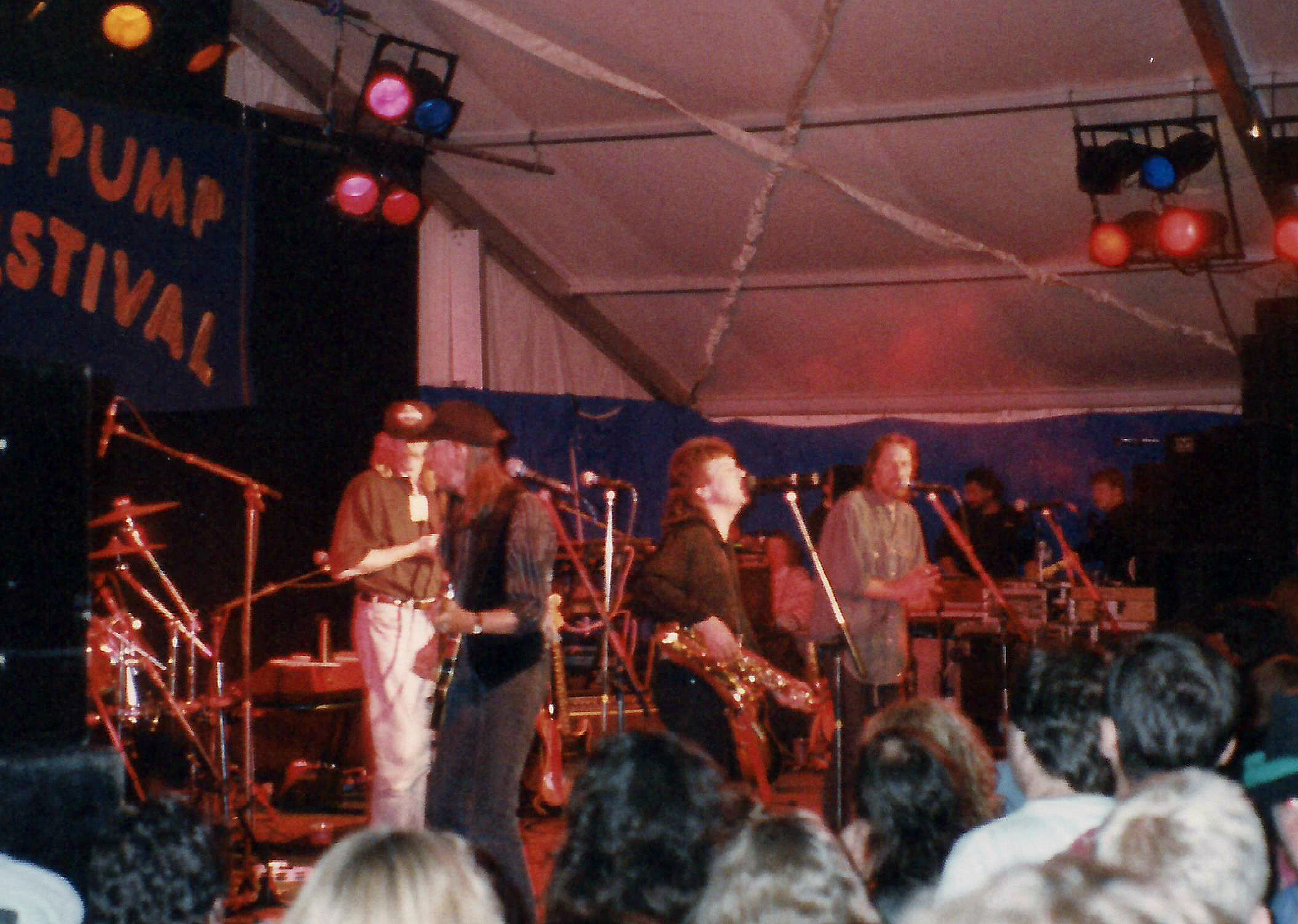
Trowbridge Village Pump Festival
The Village Pump Festival is a folk music festival that takes place near Trowbridge, England. It has its roots 53 years ago in a barn at the Lamb Inn...

Midway Manor
Midway Manor is a country house and farm in Wingfield parish, about 1+1⁄2 miles (2.4 km) south of Bradford on Avon in Wiltshire, England. The house is...

Farleigh Hungerford Castle
Farleigh Hungerford Castle, sometimes called Farleigh Castle or Farley Castle, is a medieval castle in Farleigh Hungerford, Somerset, England. The castle...

Farleigh House
Farleigh House, or Farleigh Castle, sometimes called Farleigh New Castle, is a large English country house in the county of Somerset, formerly the centre...
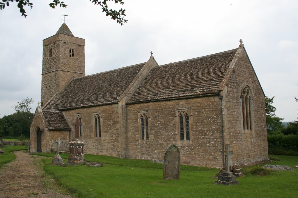
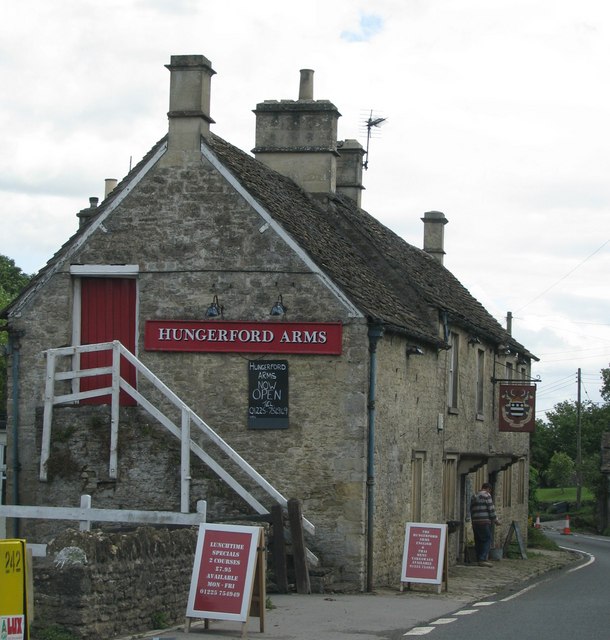
Farleigh Hungerford
Farleigh Hungerford (grid reference ST800576) is a village and former civil parish, now in the parish of Norton St Philip, in the Somerset district, in...
Nearby Amenities
Located within 500m of 51.325182,-2.2773187Have you been to Rowley Copse?
Leave your review of Rowley Copse below (or comments, questions and feedback).