Iford Manor

Heritage Site in Wiltshire

England

Iford Manor

The Hungerford Arms
The Hungerford Arms Credit: Anthony Parkes

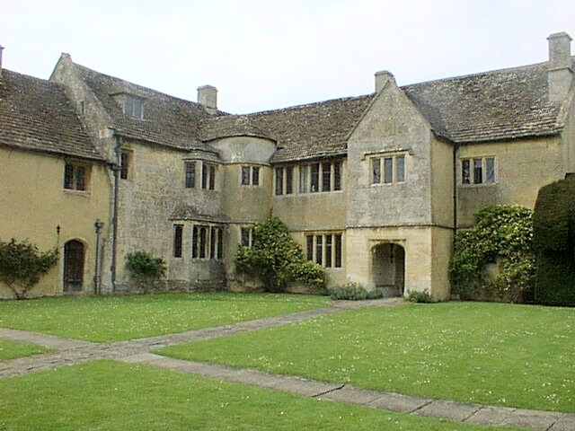
Iford Manor is a historic estate located in the village of Iford, Wiltshire, England. This heritage site is renowned for its beautiful gardens and impressive manor house, which attract visitors from all over the world.

The manor house was originally built in the 14th century and has undergone various renovations and additions over the centuries. It is a fine example of English country architecture, featuring a combination of medieval and Tudor elements. The interior of the manor house is equally impressive, with its ornate ceilings, intricate woodwork, and antique furnishings.

However, the true highlight of Iford Manor is its stunning gardens. Designed by renowned landscape architect Harold Peto in the early 20th century, the gardens are a unique blend of Italianate and Arts and Crafts styles. They feature terraces, pools, fountains, statues, and a magnificent loggia overlooking the River Frome. The gardens are meticulously maintained and offer visitors a peaceful and enchanting experience.

In addition to its architectural and horticultural treasures, Iford Manor also hosts various cultural events throughout the year. These include open-air concerts, theatrical performances, and art exhibitions, making it a vibrant hub for the arts within the region.

Overall, Iford Manor is a captivating heritage site that offers visitors a glimpse into England's rich history and a chance to appreciate the beauty of its gardens. It is a must-visit destination for history buffs, garden enthusiasts, and anyone seeking a tranquil escape from the hustle and bustle of modern life.

If you have any feedback on the listing, please let us know in the comments section below.
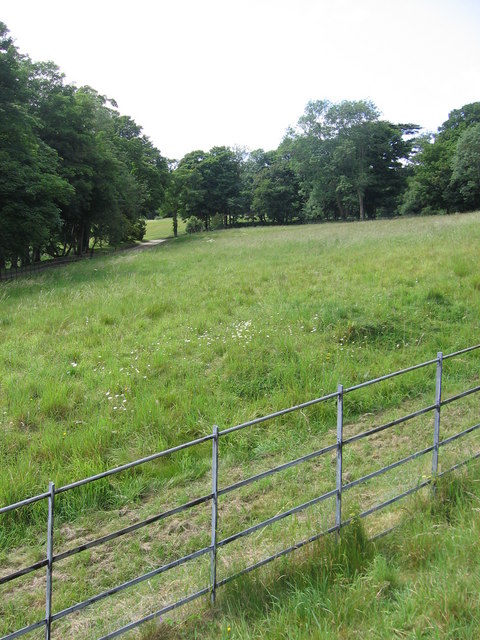
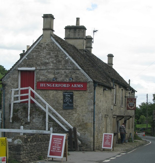
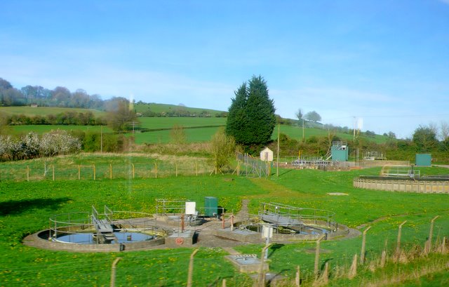
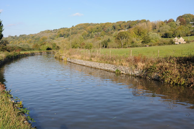
Iford Manor Images

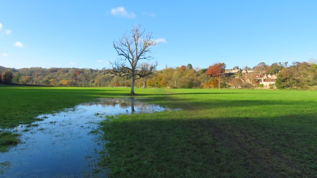
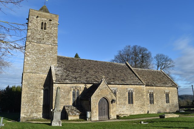
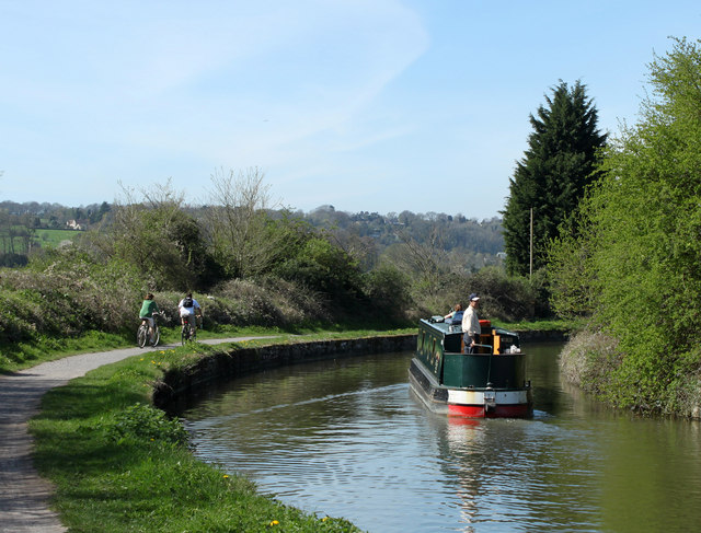
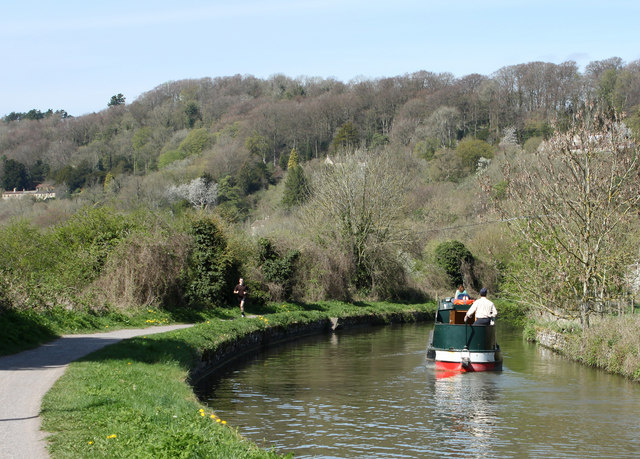
Images are sourced within 2km of 51.325/-2.28 or Grid Reference ST8058. Thanks to Geograph Open Source API. All images are credited.

The Hungerford Arms
The Hungerford Arms
A sharp bend in the Kennet & Avon Canal below Avoncliff Wood
Avoncliff : Kennet & Avon Canal Looking along the Kennet & Avon Canal.
Avoncliff : Kennet & Avon Canal
Looking along the Kennet & Avon Canal.
Avoncliff : Kennet & Avon Canal Looking along the Kennet & Avon Canal.
Avoncliff : Kennet & Avon Canal
Looking along the Kennet & Avon Canal.
Avoncliff : Kennet & Avon Canal Looking along the Kennet & Avon Canal.
Avoncliff : Kennet & Avon Canal
Looking along the Kennet & Avon Canal.
Avoncliff : Railway The railway seen from the canal towpath.
Avoncliff : Railway
The railway seen from the canal towpath.
Field path leading west towards River Frome at Freshford
St Leonard's Church, Farleigh Hungerford
2011 : Kennet & Avon Canal west of Avoncliff A long straight stretch hidden by the wide variety of boats to be seen on the K&A. A mixture of craft, broad beam (up to 14 ft) and narrow, usually 6ft 10ins.
Privately owned craft rub cheek by jowl with hire boats. Anything from 8 ft length to 72 (yes 72) ft. Though the only horse drawn boat I know of is usually at Kintbury.
2011 : Kennet & Avon Canal west of Avoncliff
A long straight stretch hidden by the wide variety of boats to be seen on the K&A. A mixture of craft, broad beam (up to 14 ft) and narrow, usually 6ft 10ins. Privately owned craft rub cheek by jowl with hire boats. Anything from 8 ft length to 72 (yes 72) ft. Though the only horse drawn boat I know of is usually at Kintbury.
2011 : Kennet  & Avon Canal near Avoncliff This section of canal is concrete lined, the sloping sides underwater have caught many a steerer. Poor visibility round the bend tempts the steerer too close to the bank on the right. This gentleman is well experienced and has kept just far enough away from the side.
2011 : Kennet & Avon Canal near Avoncliff
This section of canal is concrete lined, the sloping sides underwater have caught many a steerer. Poor visibility round the bend tempts the steerer too close to the bank on the right. This gentleman is well experienced and has kept just far enough away from the side.
2011 : Kennet & Avon Canal approaching Winsley Bridge Between Avoncliff and Murhill.
The towpath is much used by joggers and cyclists as well as walkers, some with dogs.
A sewage treatment plant is close by to the left, it is only on rare occasions that passers by are aware of it.
2011 : Kennet & Avon Canal approaching Winsley Bridge
Between Avoncliff and Murhill. The towpath is much used by joggers and cyclists as well as walkers, some with dogs. A sewage treatment plant is close by to the left, it is only on rare occasions that passers by are aware of it.
The end of the grounds at Iford Manor This fence, which lies just beyond the orchard, is as far as visitors can go.
The end of the grounds at Iford Manor
This fence, which lies just beyond the orchard, is as far as visitors can go.
The Hungerford Arms
The Hungerford Arms
Avoncliff Sewage Works This shows the sewage works right next to the River Avon and tucked in between it and the railway from where this was taken.
Avoncliff Sewage Works
This shows the sewage works right next to the River Avon and tucked in between it and the railway from where this was taken.
Kennet and Avon Canal The Kennet and Avon Canal to the west of Avoncliff.
Kennet and Avon Canal
The Kennet and Avon Canal to the west of Avoncliff.
Kennet & Avon narrowboat,  near Avoncliff
Kennet & Avon narrowboat, near Avoncliff
Railway line near Avoncliff
Eye test or responsibility test? The warning sign on a footpath gate might grab the attention with the differing font size. At least someone has put a 'Macmillan Way' sticker on it as well to emphasise its status.
Eye test or responsibility test?
The warning sign on a footpath gate might grab the attention with the differing font size. At least someone has put a 'Macmillan Way' sticker on it as well to emphasise its status.
Show me another place!

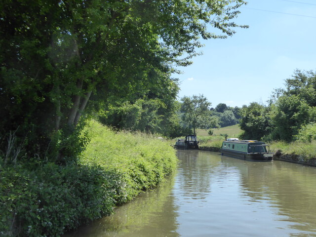
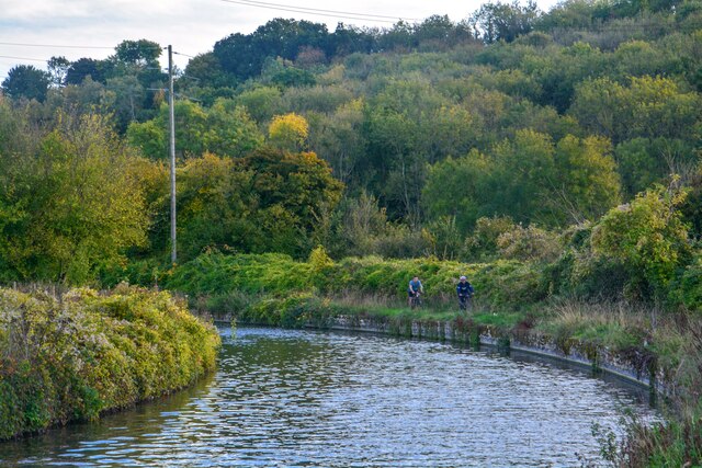
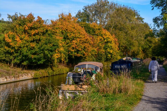
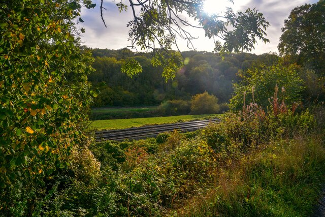
Iford Manor is located at Grid Ref: ST8058 (Lat: 51.325, Lng: -2.28)

Unitary Authority: Wiltshire

Police Authority: Wiltshire

What 3 Words

///dish.spit.until. Near Westwood, Wiltshire

Related Wikis

Iford Manor

Iford Manor (grid reference ST802589) is a manor house in Wiltshire, England. It is a Grade II* listed building sitting on the steep, south-facing slope...

Westwood Manor

Westwood Manor is a 15th-century manor house with 16th-century additions and 17th-century plaster-work in the village of Westwood, near Bradford-on-Avon...

Westwood, Wiltshire

Westwood is a large village and a civil parish in west Wiltshire, England. The village is about 1.4 miles (2.3 km) southwest of the town of Bradford-on...

Trowbridge Village Pump Festival

The Village Pump Festival is a folk music festival that takes place near Trowbridge, England. It has its roots 53 years ago in a barn at the Lamb Inn...

Farleigh Hungerford Castle

Farleigh Hungerford Castle, sometimes called Farleigh Castle or Farley Castle, is a medieval castle in Farleigh Hungerford, Somerset, England. The castle...

Farleigh House

Farleigh House, or Farleigh Castle, sometimes called Farleigh New Castle, is a large English country house in the county of Somerset, formerly the centre...

Farleigh Hungerford

Farleigh Hungerford (grid reference ST800576) is a village and former civil parish, now in the parish of Norton St Philip, in the Somerset district, in...

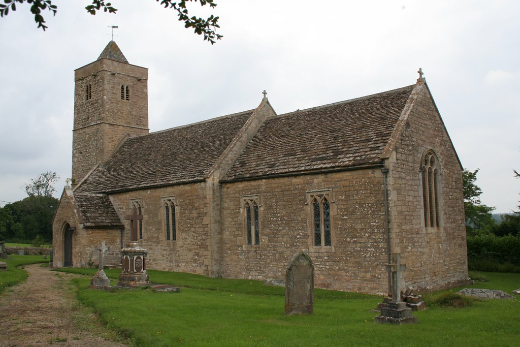
Church of St Leonard, Farleigh Hungerford

The Anglican Church of St Leonard in Farleigh Hungerford, within the English county of Somerset, was consecrated in 1443. It is a Grade II* listed building...

Nearby Amenities

Located within 500m of 51.325,-2.28
Barrier: stile
Lat/Long: 51.3234553/-2.2781336
Barrier: stile
Lat/Long: 51.3253505/-2.2820034
Barrier: stile
Lat/Long: 51.3222611/-2.2751126
Barrier: stile
Lat/Long: 51.3244799/-2.2751519
Power: tower
Source Ref: bing
Lat/Long: 51.3251624/-2.2852959
Power: tower
Source Ref: bing
Lat/Long: 51.3253289/-2.2769435
Power: tower
Source Ref: bing
Lat/Long: 51.3252585/-2.2808756
Power: tower
Source Ref: bing
Lat/Long: 51.3253892/-2.273478
Barrier: stile
Lat/Long: 51.3246962/-2.2750354
Barrier: stile
Lat/Long: 51.322011/-2.2778817
Material: wood
Power: pole
Source: bing
Lat/Long: 51.3248093/-2.2855452
Material: wood
Power: pole
Source: bing
Lat/Long: 51.3293078/-2.2793117
Material: wood
Power: pole
Source: bing
Lat/Long: 51.3281748/-2.2807065
Material: wood
Power: pole
Source: bing
Lat/Long: 51.3273234/-2.2817445
Material: wood
Power: pole
Source: bing
Lat/Long: 51.3266815/-2.2825304
Material: wood
Power: pole
Source: bing
Lat/Long: 51.3258417/-2.2835469
Material: wood
Power: pole
Source: bing
Lat/Long: 51.3254127/-2.2840592
The data included in this document is from www.openstreetmap.org. The data is made available under ODbL.

Have you been to Iford Manor?

Leave your review of Iford Manor below (or comments, questions and feedback).