Sweeps Coppice
Wood, Forest in Wiltshire
England
Sweeps Coppice
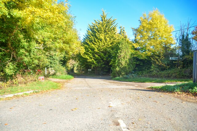
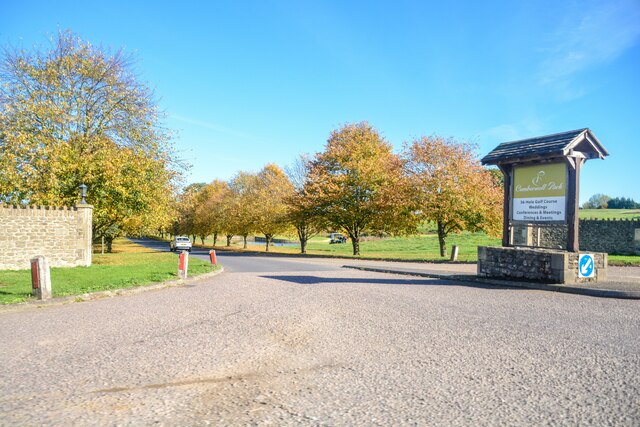
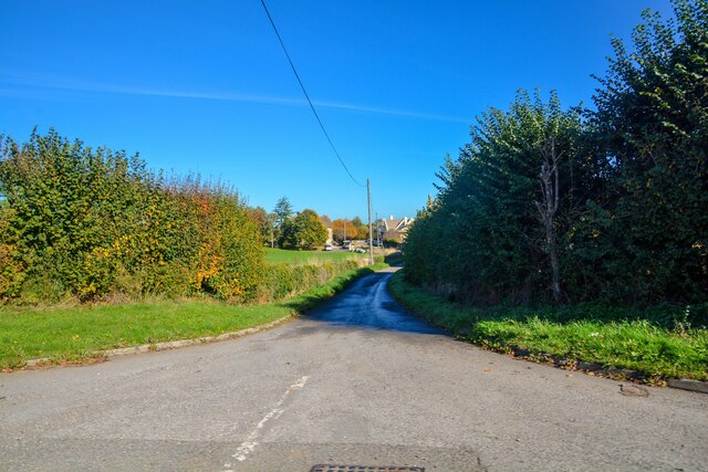
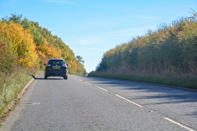
Sweeps Coppice is a beautiful woodland area located in Wiltshire, England. Covering an area of approximately 100 acres, it is a dense forest consisting mainly of deciduous trees. The coppice lies on the western slopes of a hill, providing stunning views of the surrounding countryside.
The woodland is well-known for its diverse range of flora and fauna. It is home to a variety of tree species including oak, beech, ash, and birch, creating a rich and vibrant ecosystem. The forest floor is carpeted with an array of wildflowers, such as bluebells and primroses, which bloom in the spring.
Sweeps Coppice is a haven for wildlife enthusiasts, as it provides habitat for numerous animal species. Mammals like deer, badgers, and foxes can be spotted roaming through the undergrowth, while a variety of bird species including woodpeckers, owls, and warblers inhabit the tree canopies. The forest is also home to a number of insects, reptiles, and amphibians.
The woodland is a popular destination for outdoor activities and nature walks. There are well-maintained trails that wind through the forest, allowing visitors to explore its beauty at their own pace. Sweeps Coppice also offers picnic areas and designated camping spots for those wishing to spend more time in this serene environment.
Overall, Sweeps Coppice is a picturesque woodland area that offers a peaceful retreat for nature lovers. Its diverse range of flora and fauna, coupled with its breathtaking views, make it a must-visit destination for anyone seeking a connection with nature.
If you have any feedback on the listing, please let us know in the comments section below.
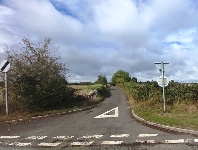
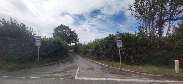
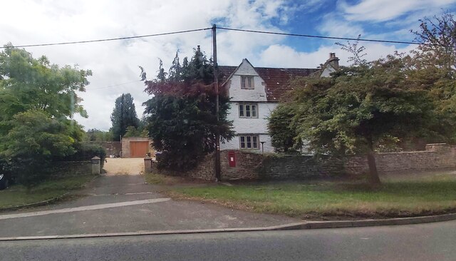
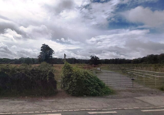
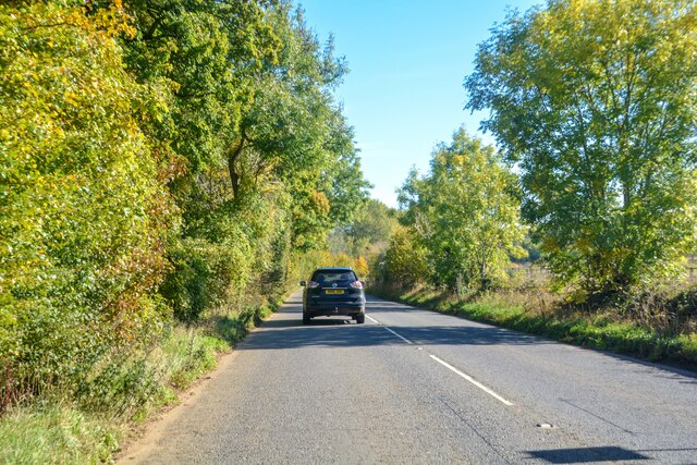
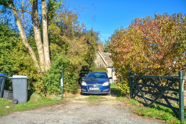
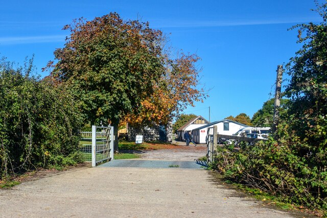
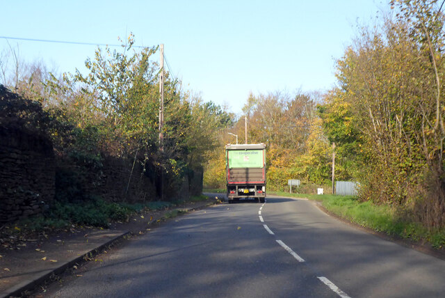
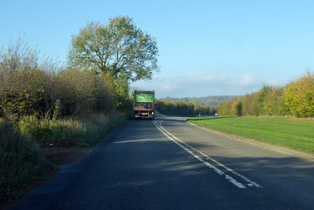
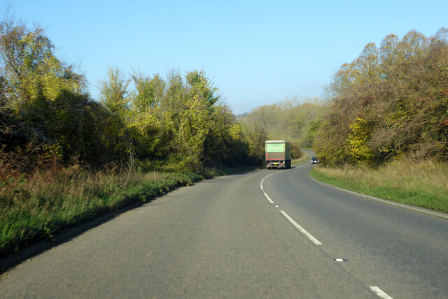
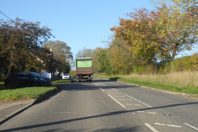
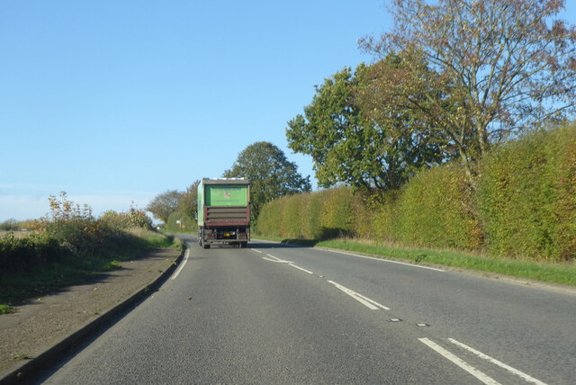
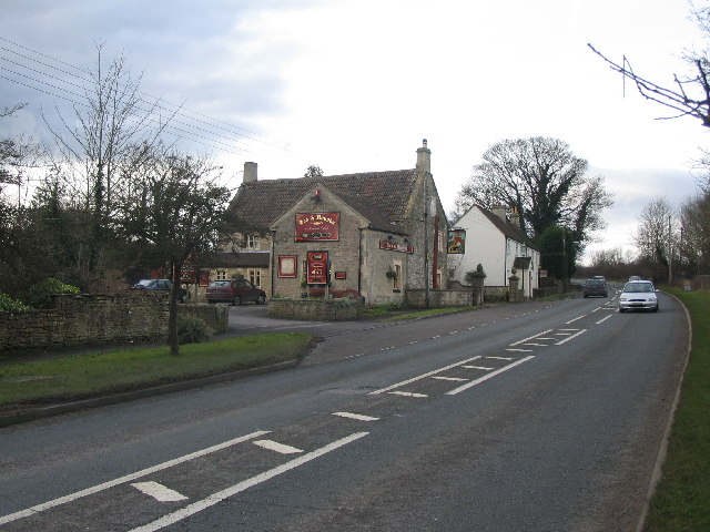
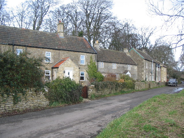
Sweeps Coppice Images
Images are sourced within 2km of 51.367255/-2.2807763 or Grid Reference ST8063. Thanks to Geograph Open Source API. All images are credited.
Sweeps Coppice is located at Grid Ref: ST8063 (Lat: 51.367255, Lng: -2.2807763)
Unitary Authority: Wiltshire
Police Authority: Wiltshire
What 3 Words
///freely.remake.themes. Near Monkton Farleigh, Wiltshire
Nearby Locations
Related Wikis

Inwood, Warleigh
Inwood, Warleigh (grid reference ST800633) is a 56.9 hectare biological Site of Special Scientific Interest in Wiltshire, notified in 1988. Although the...
Harman Lines
Harman Lines is a military installation of the British Army, which is part of Warminster Garrison on the Salisbury Plain. Harman Lines is on Sack Road...

Conkwell
Conkwell is a hamlet in Winsley parish, Wiltshire, England, near the county border with North East Somerset. It is about 2.3 miles (3.7 km) west of Bradford...

Kennet and Avon Canal
The Kennet and Avon Canal is a waterway in southern England with an overall length of 87 miles (140 km), made up of two lengths of navigable river linked...

Warleigh Weir
Warleigh Weir is a river structure at Warleigh on the River Avon in Somerset, England, upstream from the city of Bath. The weir was originally built to...

Claverton Pumping Station
Claverton Pumping Station in the village of Claverton, in the English county of Somerset, pumps water from the River Avon to the Kennet and Avon Canal...
The Old Ride School
The Old Ride School (previously called The Old Ride Preparatory School) was an independent school in England, first at Canford Cliffs just outside Bournemouth...

Midford Brook
Midford Brook is a small river in Somerset, England. It is formed by the convergence of the Wellow Brook and Cam Brook at Midford. It passes Tucking Mill...
Nearby Amenities
Located within 500m of 51.367255,-2.2807763Have you been to Sweeps Coppice?
Leave your review of Sweeps Coppice below (or comments, questions and feedback).