Ruin Wood

Wood, Forest in Gloucestershire Cotswold

England

Ruin Wood

Stone Stile, Uley Stepps embedded in the wall from "the Street" to the entrance to the churchyard.
Stone Stile, Uley Credit: Jayne Tovey

Ruin Wood is a picturesque woodland located in Gloucestershire, England. Situated in the heart of the Forest of Dean, this ancient forest covers an area of approximately 500 acres. The woodland is known for its rich biodiversity and stunning natural beauty, attracting visitors from near and far.

As one explores Ruin Wood, they will be greeted by a diverse range of tree species, including oak, beech, and birch. The forest floor is carpeted with a vibrant array of wildflowers and ferns, adding to the enchanting atmosphere. The abundant wildlife in the area includes deer, foxes, badgers, and a wide range of bird species, making it a popular spot for nature enthusiasts and birdwatchers.

The wood is crisscrossed by a network of well-maintained paths, offering visitors the opportunity to explore the area on foot, bicycle, or horseback. The trails wind through the forest, leading to hidden clearings, babbling brooks, and ancient ruins, which lend the woodland its name.

Ruin Wood holds a significant historical and cultural importance, with remnants of ancient settlements and Roman ruins scattered throughout. The site has been protected and preserved, ensuring that its historical value is maintained for generations to come.

Whether it's a leisurely stroll, a family picnic, or an immersive nature experience, Ruin Wood offers a tranquil escape from the hustle and bustle of everyday life. With its natural beauty and rich history, it is truly a gem nestled within the Gloucestershire countryside.

If you have any feedback on the listing, please let us know in the comments section below.
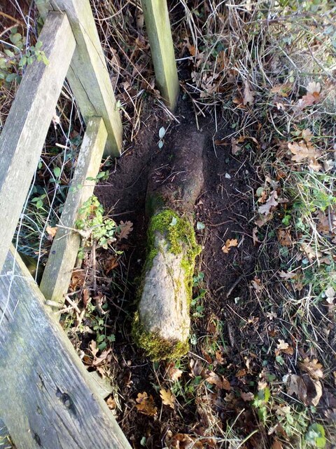
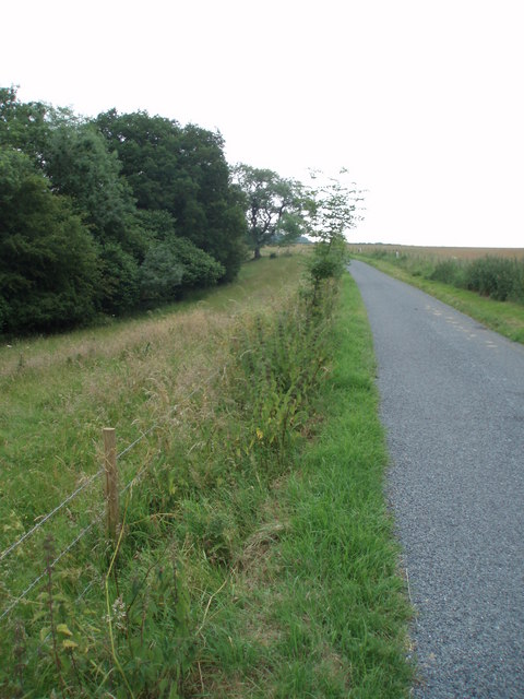
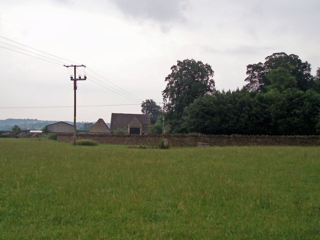
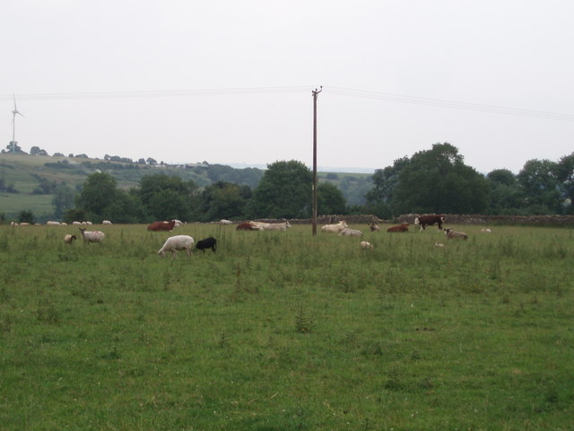
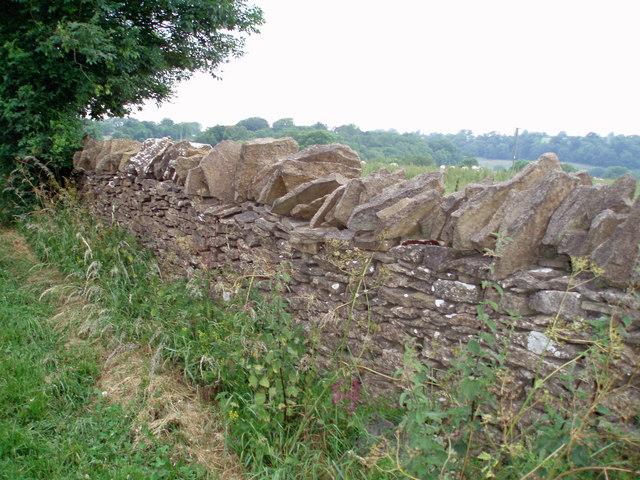
Ruin Wood Images

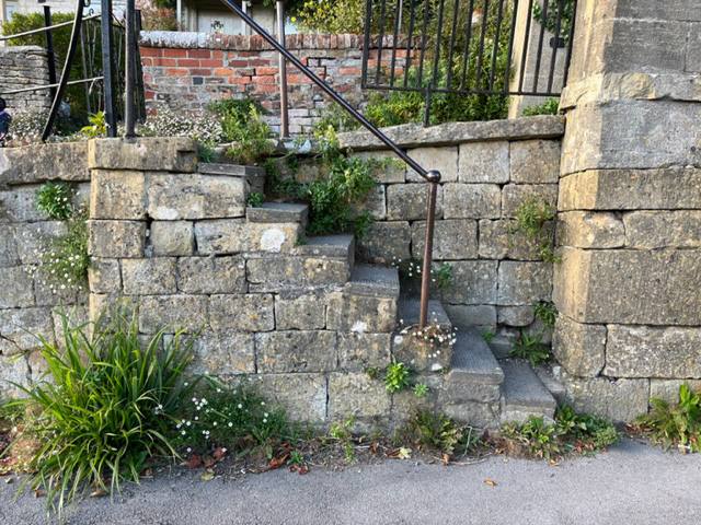
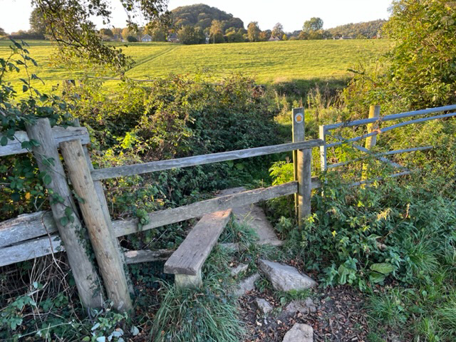
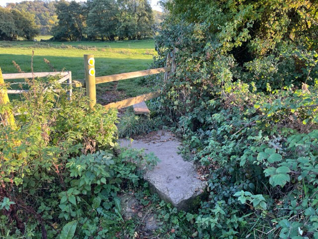
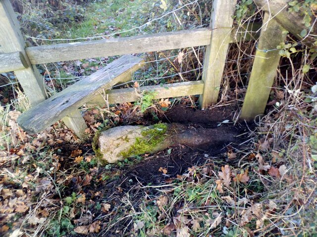
Images are sourced within 2km of 51.680504/-2.2827113 or Grid Reference ST8098. Thanks to Geograph Open Source API. All images are credited.

Stone Stile, Uley Stepps embedded in the wall from "the Street" to the entrance to the churchyard.
Stone Stile, Uley
Stepps embedded in the wall from "the Street" to the entrance to the churchyard.
Stone Stile, Uley On Gloucestershire footpaths CUL42, CUL39 & CUL45 West of the village, looking NE. The view NW is <a href="https://www.geograph.org.uk/photo/7309120">ST7998 : Stone Stile, Uley</a>.
Stone Stile, Uley
On Gloucestershire footpaths CUL42, CUL39 & CUL45 West of the village, looking NE. The view NW is ST7998 : Stone Stile, Uley.
Stone Stile, Uley On Gloucestershire footpaths CUL42, CUL39 & CUL45 West of the village, looking NW. The view NE is <a href="https://www.geograph.org.uk/photo/7309117">ST7998 : Stone Stile, Uley</a>.
Stone Stile, Uley
On Gloucestershire footpaths CUL42, CUL39 & CUL45 West of the village, looking NW. The view NE is ST7998 : Stone Stile, Uley.
Stone Stiles, Uley The sunken remnants of a stone tile on the junction of Gloucestershire footpaths CUL63 & COW16 looking NE.
The close-up view looking SE is <a href="https://www.geograph.org.uk/photo/7338280">ST7997 : Stone Stiles, Uley</a>.
Stone Stiles, Uley
The sunken remnants of a stone tile on the junction of Gloucestershire footpaths CUL63 & COW16 looking NE. The close-up view looking SE is ST7997 : Stone Stiles, Uley.
Stone Stiles, Uley The sunken remnants of a stone tile on the junction of Gloucestershire footpaths CUL63 & COW16 looking SE.
The context view looking NE is <a href="https://www.geograph.org.uk/photo/7338278">ST7997 : Stone Stiles, Uley</a>.
Stone Stiles, Uley
The sunken remnants of a stone tile on the junction of Gloucestershire footpaths CUL63 & COW16 looking SE. The context view looking NE is ST7997 : Stone Stiles, Uley.
Uley, St. Giles church
Hillside cutting Half way up the Cotswolds escarpment on the B4066 is a cutting or old quarry. The road is surrounded by woodlands.
Hillside cutting
Half way up the Cotswolds escarpment on the B4066 is a cutting or old quarry. The road is surrounded by woodlands.
Remains of a disused quarry Small pieces of Cotswold stone (oolitic limestone) intermixed with mud lie adjacent to a disused quarry just off the B4058.  The quarry itself is now very overgrown and very little evidence of working can be seen.
Remains of a disused quarry
Small pieces of Cotswold stone (oolitic limestone) intermixed with mud lie adjacent to a disused quarry just off the B4058. The quarry itself is now very overgrown and very little evidence of working can be seen.
Road to Upper Lutheredge Farm
Field Farm The main building of Field Farm is nestled behind the trees, not visible to the passer-by.  This photograph shows the outbuildings and wall which surrounds the farm complex.
Field Farm
The main building of Field Farm is nestled behind the trees, not visible to the passer-by. This photograph shows the outbuildings and wall which surrounds the farm complex.
Livestock scene A mixture of cattle and goats in this field on the outskirts of Nympsfield.  The windmill on Lynch Knoll can be seen in the far left corner of the photograph.
Livestock scene
A mixture of cattle and goats in this field on the outskirts of Nympsfield. The windmill on Lynch Knoll can be seen in the far left corner of the photograph.
Dry stone wall These dry stone walls are made of oolitic limestone (Cotswold stone) and are in good condition compared to many.
Dry stone wall
These dry stone walls are made of oolitic limestone (Cotswold stone) and are in good condition compared to many.
Valley head This tree marks the top end of a valley which is lined with springs.  The water from the springs flows eastwards down the valley towards Horsley.
Valley head
This tree marks the top end of a valley which is lined with springs. The water from the springs flows eastwards down the valley towards Horsley.
Dew pond This is a man-made structure.  Beneath the ground is a stone lined pit (apparently something line an upside-down pyramid) and to the left (out of the picture) is a pipe which funnels water into the pond from further up the hill. This dew pond is on Woodleaze farm, and the farmer furnished me with this information.
Dew pond
This is a man-made structure. Beneath the ground is a stone lined pit (apparently something line an upside-down pyramid) and to the left (out of the picture) is a pipe which funnels water into the pond from further up the hill. This dew pond is on Woodleaze farm, and the farmer furnished me with this information.
B4058 The B4058 from Nailsworth to Wotton-under-Edge as it crosses the top of the Cotswold Hills.
B4058
The B4058 from Nailsworth to Wotton-under-Edge as it crosses the top of the Cotswold Hills.
Tracks to the trees Tracks through a wheat field leading to a copse in the near distance.
Tracks to the trees
Tracks through a wheat field leading to a copse in the near distance.
Water tower A Bristol Water owned water tower hidden away in the woods.
Water tower
A Bristol Water owned water tower hidden away in the woods.
The 'Old Crown' pub, Uley, Dursley A friendly pub with a good range of real ales, food and an open fire. Not far from the Cotswold Way and thus popular with ramblers.
The 'Old Crown' pub, Uley, Dursley
A friendly pub with a good range of real ales, food and an open fire. Not far from the Cotswold Way and thus popular with ramblers.
Show me another place!

Ruin Wood is located at Grid Ref: ST8098 (Lat: 51.680504, Lng: -2.2827113)

Administrative County: Gloucestershire

District: Cotswold

Police Authority: Gloucestershire

What 3 Words

///fracture.announce.mush. Near Nailsworth, Gloucestershire

Related Wikis

Owlpen Manor

Owlpen Manor is a Tudor Grade I listed manor house of the Mander family, situated in the village of Owlpen in the Stroud district in Gloucestershire, England...

Owlpen

Owlpen is a small village and civil parish in the Stroud district of Gloucestershire, England, set in a valley in the Cotswold hills. It is about one mile...

Bencombe

Bencombe is a hamlet made up of 9 mainly traditional stone cottages/houses in the parish of Uley and just south west of Owlpen on the edge of the Cotswolds...

A4135 road

The A4135 road is a road in Gloucestershire, England, connecting the town of Tetbury with the M5 motorway and the A38 road to the west, passing through...

Uley

Uley is a village and civil parish in the county of Gloucestershire, England. The parish includes the hamlets of Elcombe and Shadwell and Bencombe, all...

Stouts Hill

Stouts Hill is an 18th-Century Gothic revival country house situated in the Cotswolds, just outside the village of Uley. Although there are records of...

Kingscote, Gloucestershire

Kingscote is a village and civil parish in the Cotswold district of Gloucestershire, England, set on the uplands near the south western edge of the Cotswold...

Nympsfield

Nympsfield is a village and civil parish in the English county of Gloucestershire. It is located around four miles south-west of the town of Stroud. As...

Nearby Amenities

Located within 500m of 51.680504,-2.2827113
Barrier: stile
Bicycle: no
Foot: yes
Material: wood
Stile: stepover
Lat/Long: 51.6796794/-2.2794103
Barrier: stile
Bicycle: no
Foot: yes
Material: wood
Stile: stepover
Lat/Long: 51.6830339/-2.2871278
Barrier: stile
Bicycle: no
Foot: yes
Material: wood
Stile: stepover
Lat/Long: 51.6847489/-2.2810334
Barrier: stile
Stile: stepover
Lat/Long: 51.6811272/-2.2883669
Barrier: stile
Stile: stepover
Lat/Long: 51.681062/-2.2861616
Addr Housename: Owlpen Lodge
Lat/Long: 51.6816112/-2.2759802
The data included in this document is from www.openstreetmap.org. The data is made available under ODbL.

Have you been to Ruin Wood?

Leave your review of Ruin Wood below (or comments, questions and feedback).