Little Knoll Wood

Wood, Forest in Wiltshire

England

Little Knoll Wood

Mid Wilts Way above Truncombe Wood The bridleway follows a long escarpment edge on a chalk down - the fence acting as a guide in mist.
The fence also marks the boundary to the airfield base of the Bath Wilts and North Dorset Gliding Club.
Mid Wilts Way above Truncombe Wood Credit: Chris Heaton

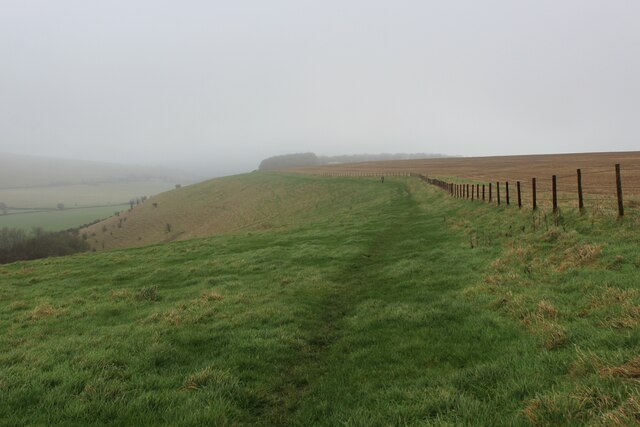
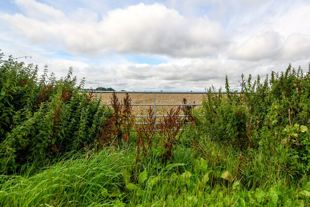
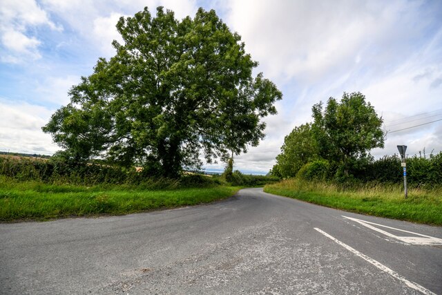
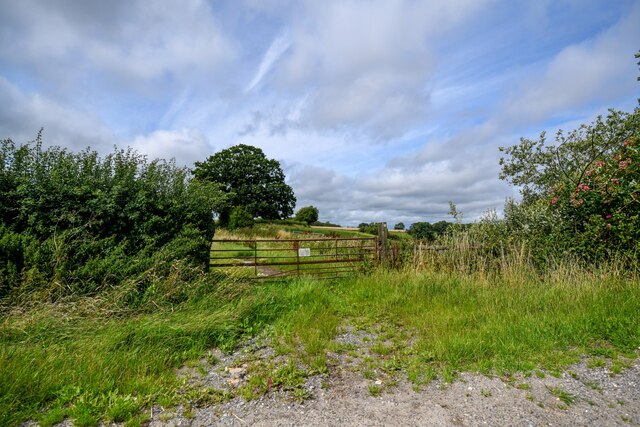
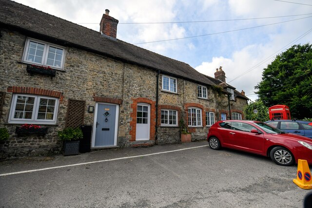
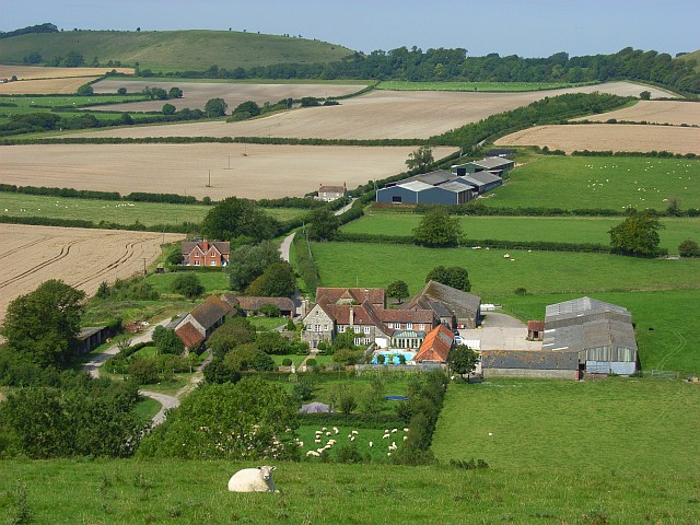
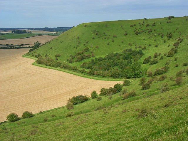
Little Knoll Wood is a charming forest located in the county of Wiltshire, England. Situated in the southern part of the county, this woodland area spans approximately 200 acres. Nestled within the picturesque countryside, it offers a peaceful and serene escape from the hustle and bustle of everyday life.

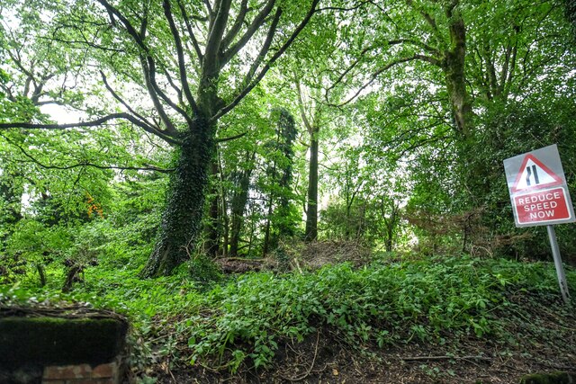
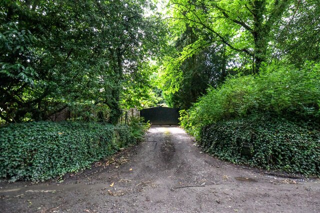
The woodland is characterized by its diverse range of tree species, including oak, beech, and birch, which create a rich and vibrant tapestry of colors throughout the seasons. The forest floor is adorned with an array of wildflowers, ferns, and mosses, adding to the natural beauty of the area.

Little Knoll Wood is a haven for wildlife enthusiasts, as it is home to a variety of animal species. Deer, foxes, badgers, and rabbits can often be spotted roaming among the trees, while a plethora of bird species, such as woodpeckers, owls, and thrushes, make their nests in the branches above.

The forest offers numerous walking trails that wind through its enchanting pathways, providing visitors with an opportunity to immerse themselves in nature. These trails cater to all levels of fitness and offer breathtaking views of the surrounding countryside.

Little Knoll Wood is a popular destination for outdoor activities such as hiking, birdwatching, and photography. The tranquil atmosphere and stunning natural scenery make it an ideal spot for those seeking solace and a connection with the natural world.

In conclusion, Little Knoll Wood is a delightful woodland retreat in Wiltshire, offering visitors a chance to escape into nature and enjoy the beauty of the English countryside.

If you have any feedback on the listing, please let us know in the comments section below.

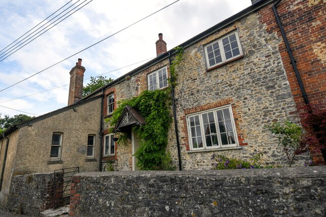
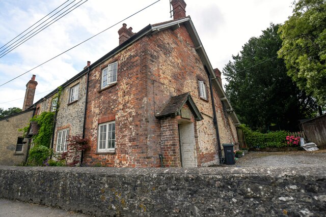
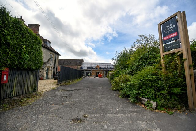
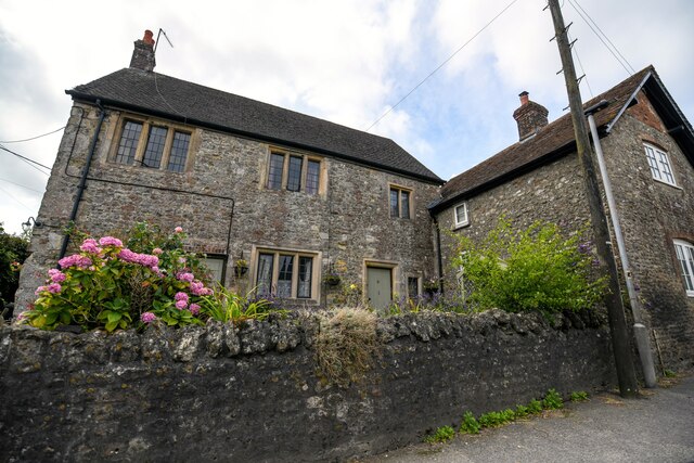
Little Knoll Wood Images

Images are sourced within 2km of 51.140041/-2.2761784 or Grid Reference ST8037. Thanks to Geograph Open Source API. All images are credited.

Mid Wilts Way above Truncombe Wood The bridleway follows a long escarpment edge on a chalk down - the fence acting as a guide in mist.
The fence also marks the boundary to the airfield base of the Bath Wilts and North Dorset Gliding Club.
Mid Wilts Way above Truncombe Wood
The bridleway follows a long escarpment edge on a chalk down - the fence acting as a guide in mist. The fence also marks the boundary to the airfield base of the Bath Wilts and North Dorset Gliding Club.
Truncombe Wood The wood nestles in a fold of the north escarpment of Court Hill, facing the plain of the River Wylye. Just a pity our views from the hill, as we follow the Mid Wilts Way, are obscured by low cloud. At least it's not raining.
Truncombe Wood
The wood nestles in a fold of the north escarpment of Court Hill, facing the plain of the River Wylye. Just a pity our views from the hill, as we follow the Mid Wilts Way, are obscured by low cloud. At least it's not raining.
Coombe Barn Farm
Coombe Barn Farm
Maiden Bradley : Memorial Hall The village hall was built in 1912 and given to the village by Lord Ernest St Maur.
Maiden Bradley : Memorial Hall
The village hall was built in 1912 and given to the village by Lord Ernest St Maur.
Maiden Bradley : Memorial Hall The village hall was built in 1912 and given to the village by Lord Ernest St Maur.
Maiden Bradley : Memorial Hall
The village hall was built in 1912 and given to the village by Lord Ernest St Maur.
Maiden Bradley : Grassy Field A grassy field beyond the gate.
Maiden Bradley : Grassy Field
A grassy field beyond the gate.
Horningham : Road A road heads through the countryside.
Horningham : Road
A road heads through the countryside.
Horningham : Grassy Field Looking beyond the gate and into the field.
Horningham : Grassy Field
Looking beyond the gate and into the field.
Maiden Bradley with Yarnfield : B3092 Looking along the B3092.
Maiden Bradley with Yarnfield : B3092
Looking along the B3092.
Maiden Bradley with Yarnfield : B3092 Looking along the B3092.
Maiden Bradley with Yarnfield : B3092
Looking along the B3092.
Maiden Bradley with Yarnfield : B3092 Looking along the B3092.
Maiden Bradley with Yarnfield : B3092
Looking along the B3092.
Maiden Bradley with Yarnfield : B3092 Roadside Trees alongside the road.
Maiden Bradley with Yarnfield : B3092 Roadside
Trees alongside the road.
Maiden Bradley with Yarnfield : Track A track heads to The Old Vicarage.
Maiden Bradley with Yarnfield : Track
A track heads to The Old Vicarage.
Maiden Bradley with Yarnfield : Sunnyside Houses along Church Street.
Maiden Bradley with Yarnfield : Sunnyside
Houses along Church Street.
Maiden Bradley with Yarnfield : Sunnyside Looking to houses alongside Church Street.
Maiden Bradley with Yarnfield : Sunnyside
Looking to houses alongside Church Street.
Maiden Bradley with Yarnfield : Road A road leading to the village shop and Old Manor House.
Maiden Bradley with Yarnfield : Road
A road leading to the village shop and Old Manor House.
Maiden Bradley with Yarnfield : Houses Houses alongside Church Street.
Maiden Bradley with Yarnfield : Houses
Houses alongside Church Street.
Maiden Bradley with Yarnfield : Houses Houses alongside Church Street.
Maiden Bradley with Yarnfield : Houses
Houses alongside Church Street.
Show me another place!

Little Knoll Wood is located at Grid Ref: ST8037 (Lat: 51.140041, Lng: -2.2761784)

Unitary Authority: Wiltshire

Police Authority: Wiltshire

What 3 Words

///stormy.obviously.germinate. Near Kilmington, Wiltshire

Related Wikis

Bradley House, Wiltshire

Bradley House, or Maiden Bradley House, is a country house in the village of Maiden Bradley, Wiltshire, England, between the great country estates of Stourhead...

Maiden Bradley

Maiden Bradley is a village in south-west Wiltshire, England, about 6 miles (10 km) south-west of Warminster and bordering the county of Somerset. The...

Brimsdown Hill

Brimsdown Hill (grid reference ST821391) is a 193.7 hectare biological Site of Special Scientific Interest in Wiltshire, notified in 1951. It is situated...

Maiden Bradley Priory

Maiden Bradley Priory was a priory in Wiltshire, England. It was founded as a leper colony in 1164, and in 1189 was handed over to the Augustinian order...

White Sheet Hill

White Sheet Hill, also known as Whitesheet Hill, is a hill in the English county of Wiltshire. As one of the most westerly areas of downland in Britain...

Bradley Woods

Bradley Woods (grid reference ST789410) is an area of woodland in Wiltshire, south of Longleat Woods and north of Gare Hill. A 48.7 hectare area within...

St Michael's Church, Gare Hill

St Michael's Church is a former Church of England church at Gare Hill, Somerset, England. The church, which was designed by William Butterfield and built...

Horningsham

Horningsham is a small village and civil parish in Wiltshire, England, on the county border with Somerset. The village lies about 4 miles (6 km) southwest...

Nearby Amenities

Located within 500m of 51.140041,-2.2761784
Little Knoll
Ele: 256
Natural: peak
Source: npe
Lat/Long: 51.1394124/-2.2763292
The data included in this document is from www.openstreetmap.org. The data is made available under ODbL.

Have you been to Little Knoll Wood?

Leave your review of Little Knoll Wood below (or comments, questions and feedback).