Coxgreen Copse
Wood, Forest in Staffordshire South Staffordshire
England
Coxgreen Copse
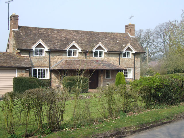
Coxgreen Copse is a picturesque woodland located in Staffordshire, England. Spanning over acres of land, this enchanting forest offers a peaceful and serene escape for nature enthusiasts and hikers alike. The copse is situated in close proximity to the village of Coxgreen, lending its name to the woodland.
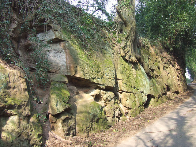
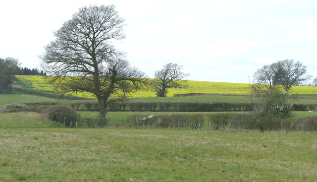
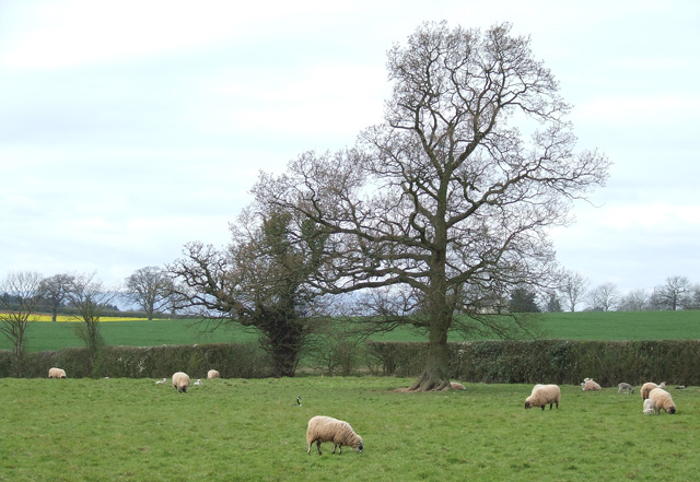
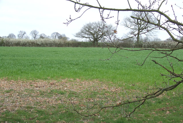
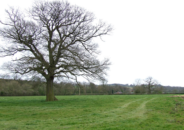
The forest boasts a rich and diverse ecosystem, with a variety of tree species including oak, beech, and birch. The lush undergrowth is adorned with an array of wildflowers, creating a vibrant and colorful tapestry during the spring and summer months. This floral abundance attracts a plethora of wildlife, making Coxgreen Copse a haven for birdwatchers and animal lovers.
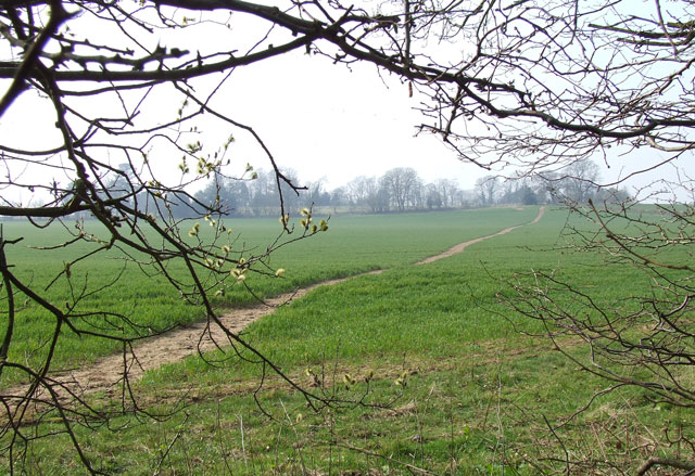
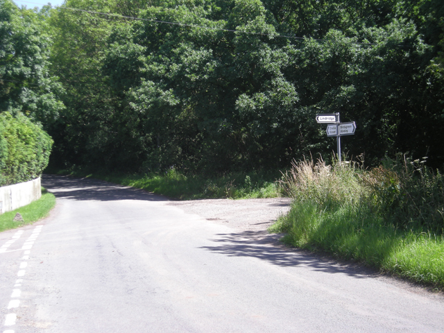
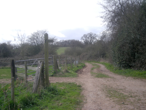
Traversing the copse, visitors will find a network of well-maintained footpaths and trails, offering opportunities for leisurely strolls or more rigorous hikes. The paths wind their way through the dense foliage, occasionally opening up to reveal hidden clearings or babbling brooks. These natural features add to the copse's charm, providing soothing sounds and captivating views.
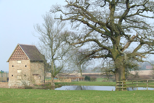
One of the notable attractions within Coxgreen Copse is a small pond, which serves as a watering hole for the resident wildlife. The pond is a tranquil spot, perfect for contemplation or observing various amphibians and waterfowl. Surrounding the pond are benches, inviting visitors to take a moment of respite and enjoy the idyllic surroundings.
Overall, Coxgreen Copse is a true gem in the Staffordshire countryside. Its beauty, biodiversity, and peaceful ambiance make it an ideal destination for those seeking a connection with nature and a break from the hustle and bustle of everyday life.
If you have any feedback on the listing, please let us know in the comments section below.
Coxgreen Copse Images
Images are sourced within 2km of 52.477878/-2.2906846 or Grid Reference SO8086. Thanks to Geograph Open Source API. All images are credited.


Coxgreen Copse is located at Grid Ref: SO8086 (Lat: 52.477878, Lng: -2.2906846)
Administrative County: Staffordshire
District: South Staffordshire
Police Authority: Staffordshire
What 3 Words
///decency.generally.ordinary. Near Romsley, Shropshire
Nearby Locations
Related Wikis

Great Fountain, Enville
The Great Fountain, Enville, was a fountain created in the mid-19th century by the Earl of Stamford in the middle of a lake on his Enville Hall estate...

Enville, Staffordshire
Enville is a village and civil parish in rural Staffordshire, England, on the A458 road between Stourbridge and Bridgnorth. Enville is in the South Staffordshire...

Enville Hall
Enville Hall is an English Tudor country house in the village of Enville, Staffordshire. It is a Grade II listed building.The house has a 16th and 17th...

West Midlands (region)
The West Midlands is one of nine official regions of England at the first level of International Territorial Level for statistical purposes. It covers...

Six Ashes
Six Ashes is a small village in Shropshire, England, on the Shropshire side of the border with Staffordshire. == See also == Tripartite Indenture ��2...

Coton, Alveley, Shropshire
Coton is located northeast of Alveley, Shropshire and was associated with the manor Coton Hall. The ancestors of General Robert E. Lee left Coton near...

Kingsnordley
Kingsnordley is a manor in the northern part of the parish of Alveley. This part of the parish has no nucleated village, but there is a Church of England...

Mid Severn Sandstone Plateau
The Mid Severn Sandstone Plateau is a rural landscape and one of the natural regions of central England, straddling the border between the counties of...
Nearby Amenities
Located within 500m of 52.477878,-2.2906846Have you been to Coxgreen Copse?
Leave your review of Coxgreen Copse below (or comments, questions and feedback).