Coxgreen

Settlement in Staffordshire South Staffordshire

England

Coxgreen

Field and footpath  near Tuckhill in Shropshire The public footpath leads through the cereal crop towards Nicholl's Covert and Four Ashes.
Field and footpath near Tuckhill in Shropshire Credit: Roger D Kidd

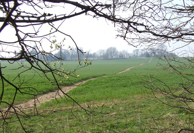
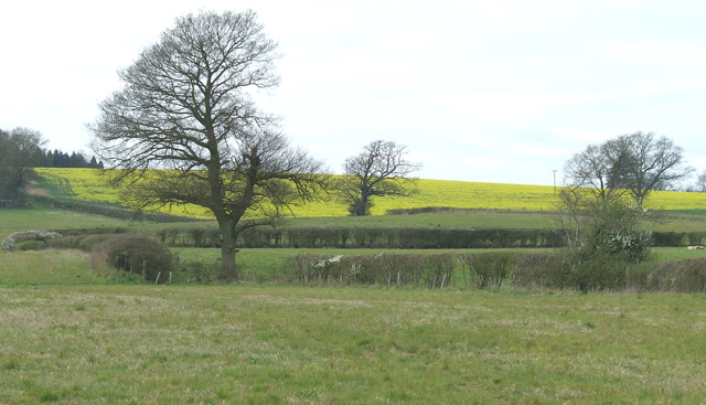
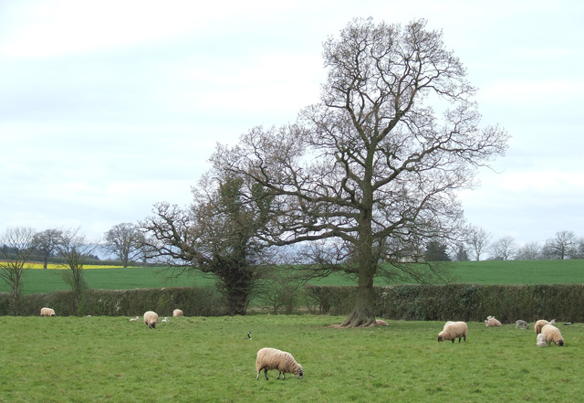
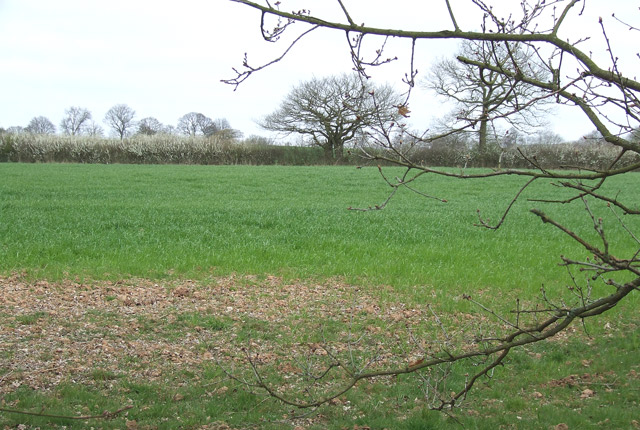
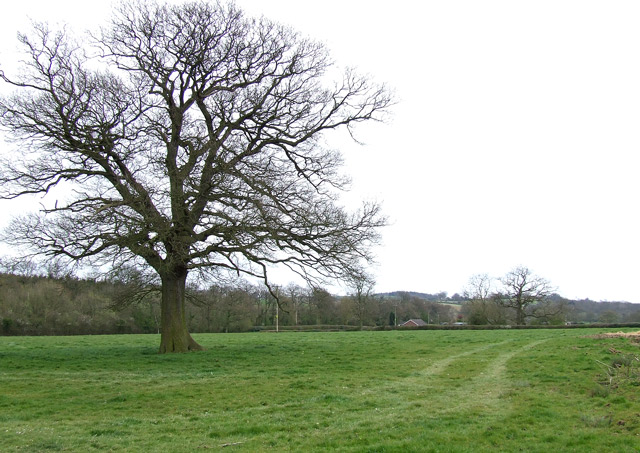
Coxgreen is a small village located in the county of Staffordshire, England. Situated near the town of Tamworth, Coxgreen is nestled in the picturesque countryside, with rolling hills and lush green fields surrounding the area.

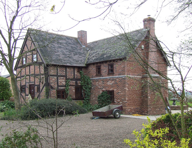
The village is home to a close-knit community of residents who enjoy the tranquility and peacefulness of rural living. The architecture in Coxgreen mainly consists of traditional English cottages, giving the village a charming and quaint atmosphere. The locals take great pride in maintaining the beauty of their village, with well-kept gardens and flower beds adorning the streets.

Coxgreen offers a range of amenities to its residents, including a local pub, a primary school, and a village hall that serves as a hub for social events and community gatherings. The pub, known as the Coxgreen Inn, is a popular spot for locals to catch up over a pint or enjoy a hearty meal.

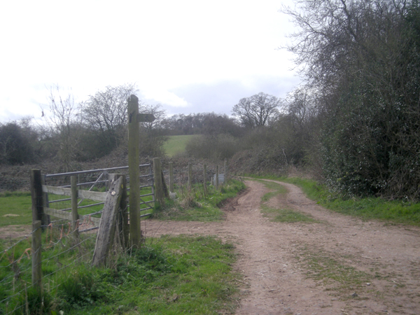
For those seeking outdoor recreation, Coxgreen is surrounded by lovely walking and cycling trails that showcase the stunning Staffordshire countryside. The nearby Cannock Chase, an Area of Outstanding Natural Beauty, provides ample opportunities for outdoor enthusiasts to explore its woodlands and enjoy various outdoor activities.

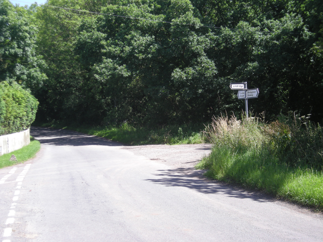
Despite its rural setting, Coxgreen benefits from its proximity to Tamworth, which offers a wider range of amenities, including shopping centers, restaurants, and leisure facilities. The village also benefits from good transportation links, with easy access to major roads and nearby train stations.

In summary, Coxgreen is a charming village in Staffordshire that offers a peaceful and idyllic setting for its residents. With its picturesque surroundings and close-knit community, Coxgreen is a place that embraces the beauty of rural living.

If you have any feedback on the listing, please let us know in the comments section below.
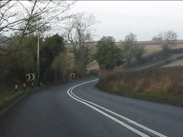
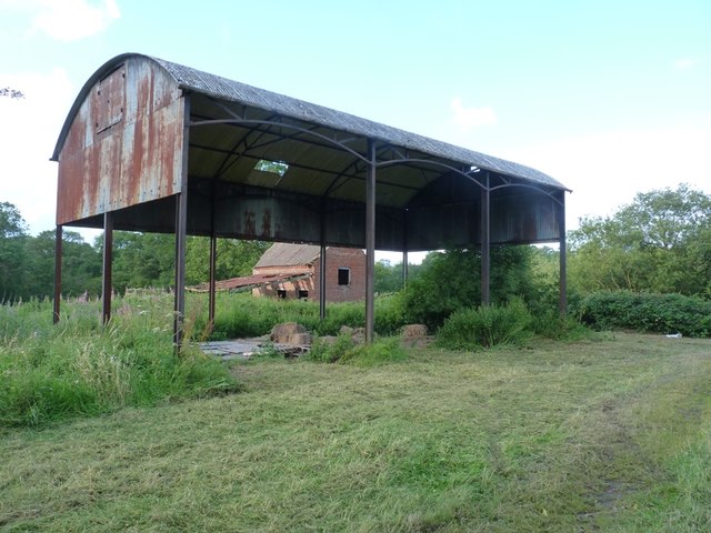
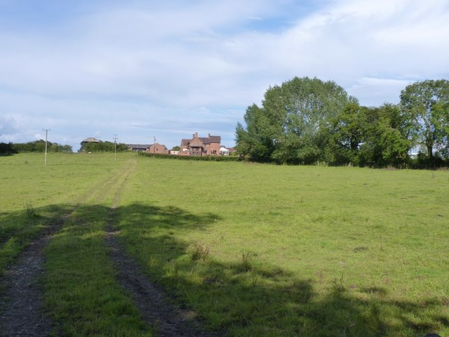
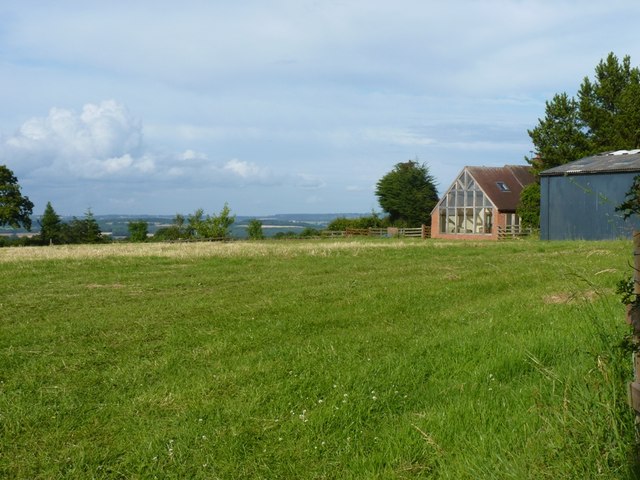
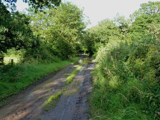
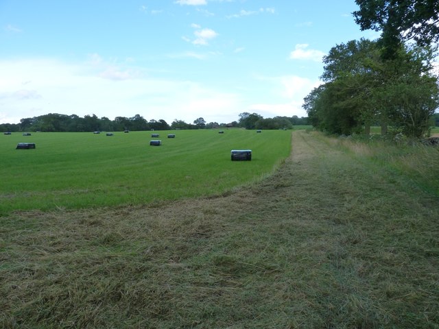
Coxgreen Images

Images are sourced within 2km of 52.476054/-2.286038 or Grid Reference SO8086. Thanks to Geograph Open Source API. All images are credited.

Field and footpath  near Tuckhill in Shropshire The public footpath leads through the cereal crop towards Nicholl's Covert and Four Ashes.
Field and footpath near Tuckhill in Shropshire
The public footpath leads through the cereal crop towards Nicholl's Covert and Four Ashes.
Public Footpath near Tuckhill, Shropshire Looking out of Nicholl's Covert, the path is well defined climbing through the cereal crop towards Tuckhill.
Public Footpath near Tuckhill, Shropshire
Looking out of Nicholl's Covert, the path is well defined climbing through the cereal crop towards Tuckhill.
Pasture north-east of Alveley in Shropshire Looking west-south-west from the bridleway near Lane Green
Pasture north-east of Alveley in Shropshire
Looking west-south-west from the bridleway near Lane Green
Sheep grazing south of Tuckhill in Shropshire The land around is used for mixed grazing, and cereal crops and oilseed rape.
Sheep grazing south of Tuckhill in Shropshire
The land around is used for mixed grazing, and cereal crops and oilseed rape.
Cereal cropfield near Birdsgreen in Shropshire Some of the fields in the north this square are a little inaccessible.
Cereal cropfield near Birdsgreen in Shropshire
Some of the fields in the north this square are a little inaccessible.
Beauty Bank Farmhouse west of Coxgreen in Staffordshire Just over into Shropshire, this farmhouse has been expertly renovated and extended, including the use of local sandstone materials. Superb!
Beauty Bank Farmhouse west of Coxgreen in Staffordshire
Just over into Shropshire, this farmhouse has been expertly renovated and extended, including the use of local sandstone materials. Superb!
Grazing Land near Lindridge, Shropshire
Lane junction near Tuckhill
Lane junction near Lindridge
Meeting of several farm tracks
Footpath near Tuckhill, Shropshire The public footpath across the fields leads through Nicholl's Covert to Four Ashes.
Footpath near Tuckhill, Shropshire
The public footpath across the fields leads through Nicholl's Covert to Four Ashes.
A458 west of Four Ashes
Barrets - a couple of abandoned barns Two abandoned barns of different ages adjacent to the bridleway between The Hollies and Filletts farms.
Barrets - a couple of abandoned barns
Two abandoned barns of different ages adjacent to the bridleway between The Hollies and Filletts farms.
The entrance to Lindridge Farm
Towards High Barns Farm from the lane near Lindridge Grazing land west of High Barns Farm.
Towards High Barns Farm from the lane near Lindridge
Grazing land west of High Barns Farm.
Barn conversion just off Batfield Lane
A badly boggy bit The generally good bridleway between The Hollies and Filletts farms is rather let down by this boggy, muddy section in the woods.
A badly boggy bit
The generally good bridleway between The Hollies and Filletts farms is rather let down by this boggy, muddy section in the woods.
Bridleway in a hayfield Recently-mown hay baled up ready for winter cattle feed. The bridleway follows the field margin, and is easily rideable, albeit a little soft in places.
Bridleway in a hayfield
Recently-mown hay baled up ready for winter cattle feed. The bridleway follows the field margin, and is easily rideable, albeit a little soft in places.
Show me another place!

Coxgreen is located at Grid Ref: SO8086 (Lat: 52.476054, Lng: -2.286038)

Administrative County: Staffordshire

District: South Staffordshire

Police Authority: Staffordshire

What 3 Words

///generally.minimums.saucepan. Near Romsley, Shropshire

Related Wikis

Great Fountain, Enville

The Great Fountain, Enville, was a fountain created in the mid-19th century by the Earl of Stamford in the middle of a lake on his Enville Hall estate...

Enville Hall

Enville Hall is an English Tudor country house in the village of Enville, Staffordshire. It is a Grade II listed building. The house has a 16th and 17th...

Enville, Staffordshire

Enville is a village and civil parish in rural Staffordshire, England, on the A458 road between Stourbridge and Bridgnorth. Enville is in the South Staffordshire...

West Midlands (region)

The West Midlands is one of nine official regions of England at the first level of International Territorial Level for statistical purposes. It covers...

Nearby Amenities

Located within 500m of 52.476054,-2.286038
The data included in this document is from www.openstreetmap.org. The data is made available under ODbL.

Have you been to Coxgreen?

Leave your review of Coxgreen below (or comments, questions and feedback).